About this sheet
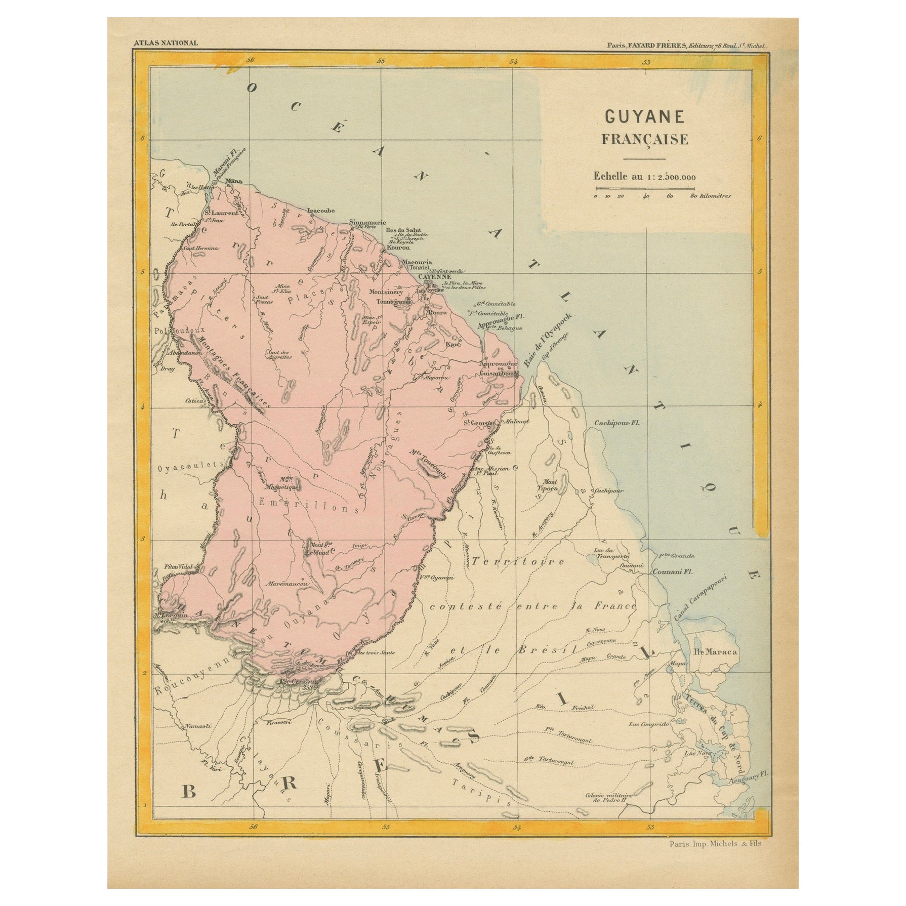
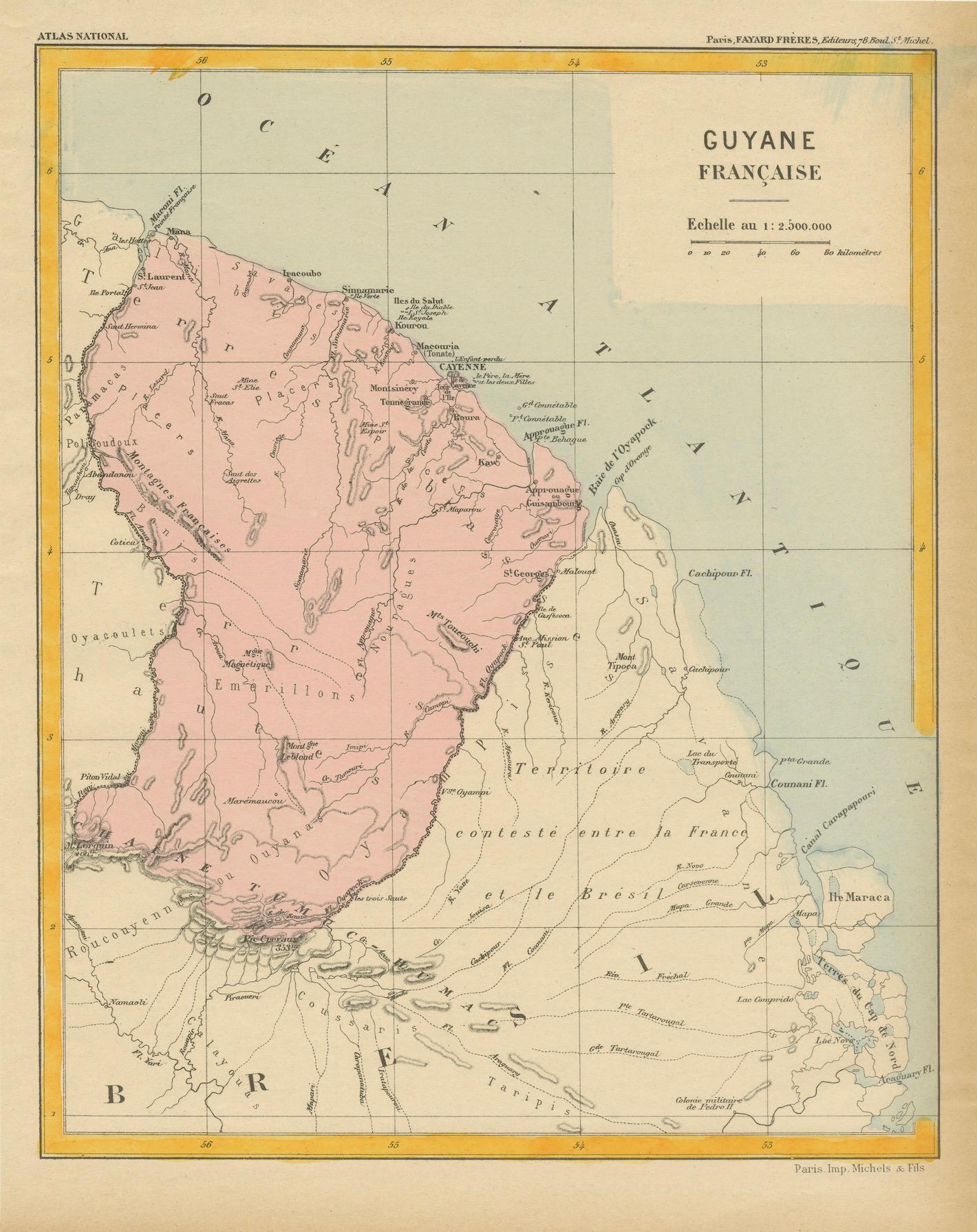
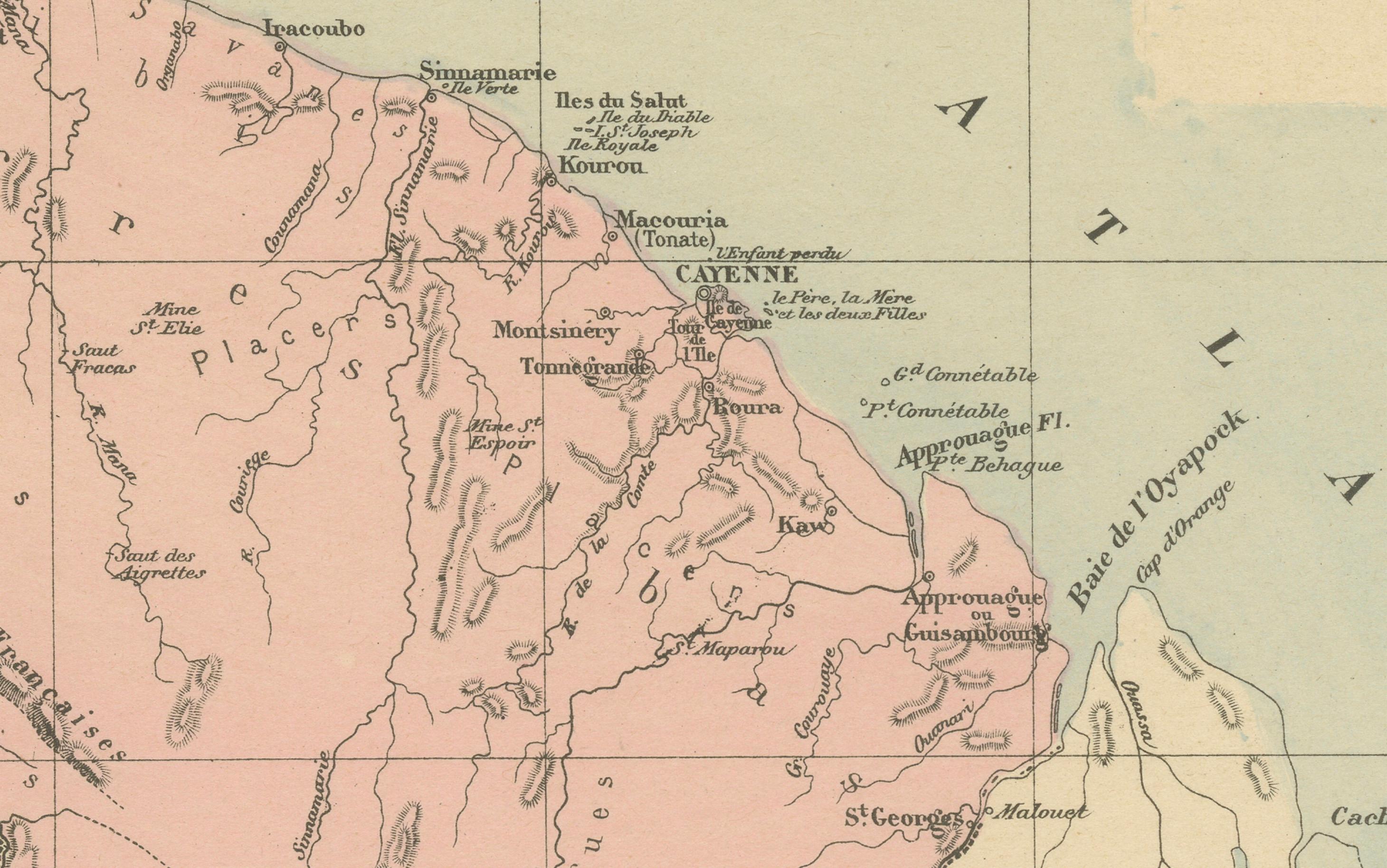
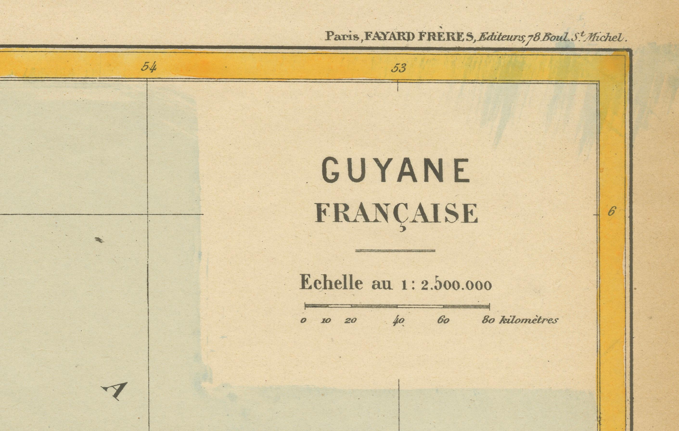
The map is titled "Guyane Française" (French Guiana) and is part of the Atlas National series. Here are the key details:
Features:
- The map focuses on French Guiana, a French overseas department in South America.
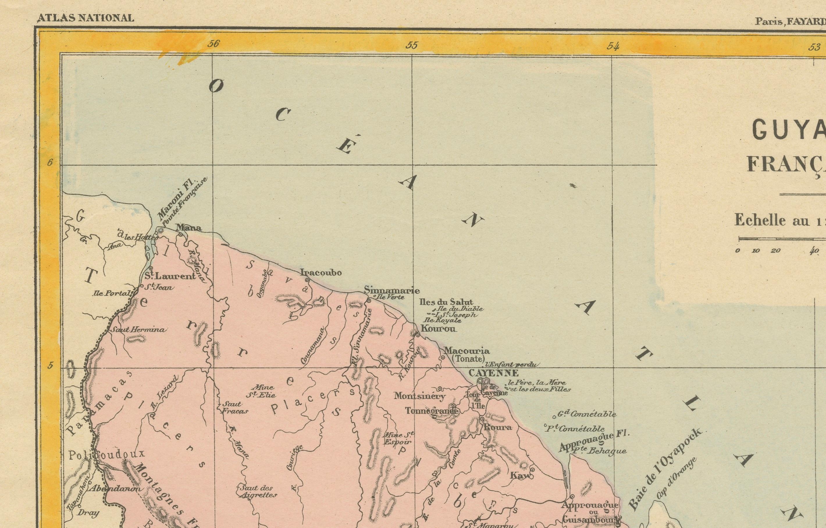
- It shows the boundaries of French Guiana (highlighted in pink) and labels key rivers, settlements, and geographical features. The capital, Cayenne, is prominently marked.
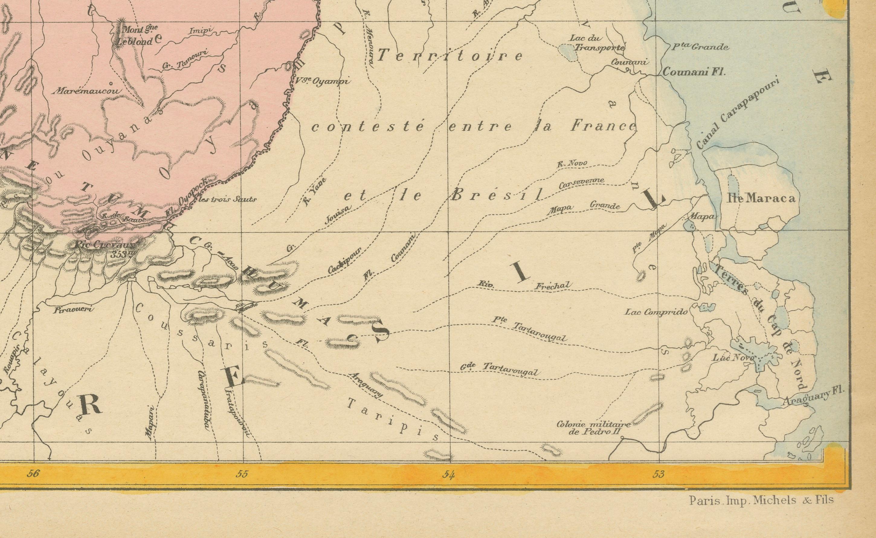
- The surrounding region includes parts of Brazil to the south and Suriname to the west. There's a note indicating a territory contested between France and Brazil, which was historically an area of dispute in the late 19th and early 20th centuries.
- The scale of the map is 1:2,500,000, providing a broad view of the region.
Artistic and Cartographic Details:
- The map is hand-colored with soft tones to distinguish territories. French Guiana is shaded in pink, and the nearby areas in a cream color.
- Important rivers, mountain ranges, and settlements are labeled in French, reflecting the cartographic conventions of the period.
- The map was printed by Michel et Fils in Paris, a well-known French cartographic printer, and was likely published in the late 19th or early 20th century.
Historical Context:
- French Guiana was a significant colony for France, known for its penal colony at Devil's Island and its dense tropical forests. This map would have been useful for illustrating the French presence in South America and for administrative or educational purposes.
- The territorial dispute with Brazil shown on the map refers to historical disagreements over the southern borders, which were not definitively settled until the early 20th century.
The map of Guyane Française (French Guiana) is from the Atlas National series, and based on the style, typography, and the indication of the territorial dispute between France and Brazil, it likely dates from the late 19th century, around 1880 to 1900.
The territorial dispute shown on the map was formally resolved in 1900 with an arbitration award in favor of Brazil, so the map was likely created before that decision. Thus, a reasonable estimate would be that this map was published between 1885 and 1899.