Map of French Colonies in the Americas: St. Martin, French Guiana and St. Pierre
€ 190
One of a kind: this is the sheet in the photographs. Ships from Langweer, the Netherlands.
Sheet size
37 × 52 cm (14.6 × 20.5 in)
Reference
BG-13618-6
Condition
good, given age. General age-related toning and/or occasional minor defects from handling. Please study scan carefully.
About this sheet
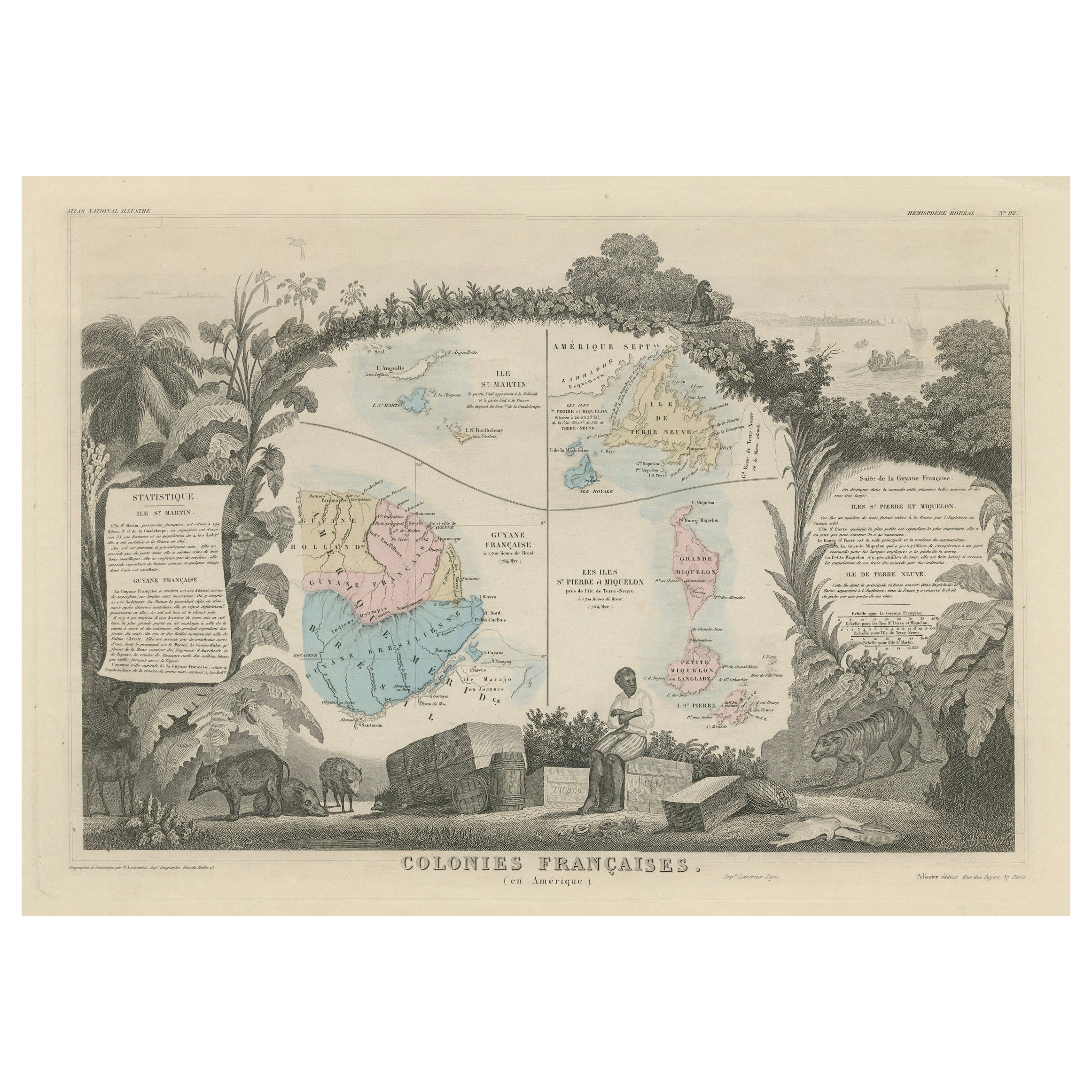
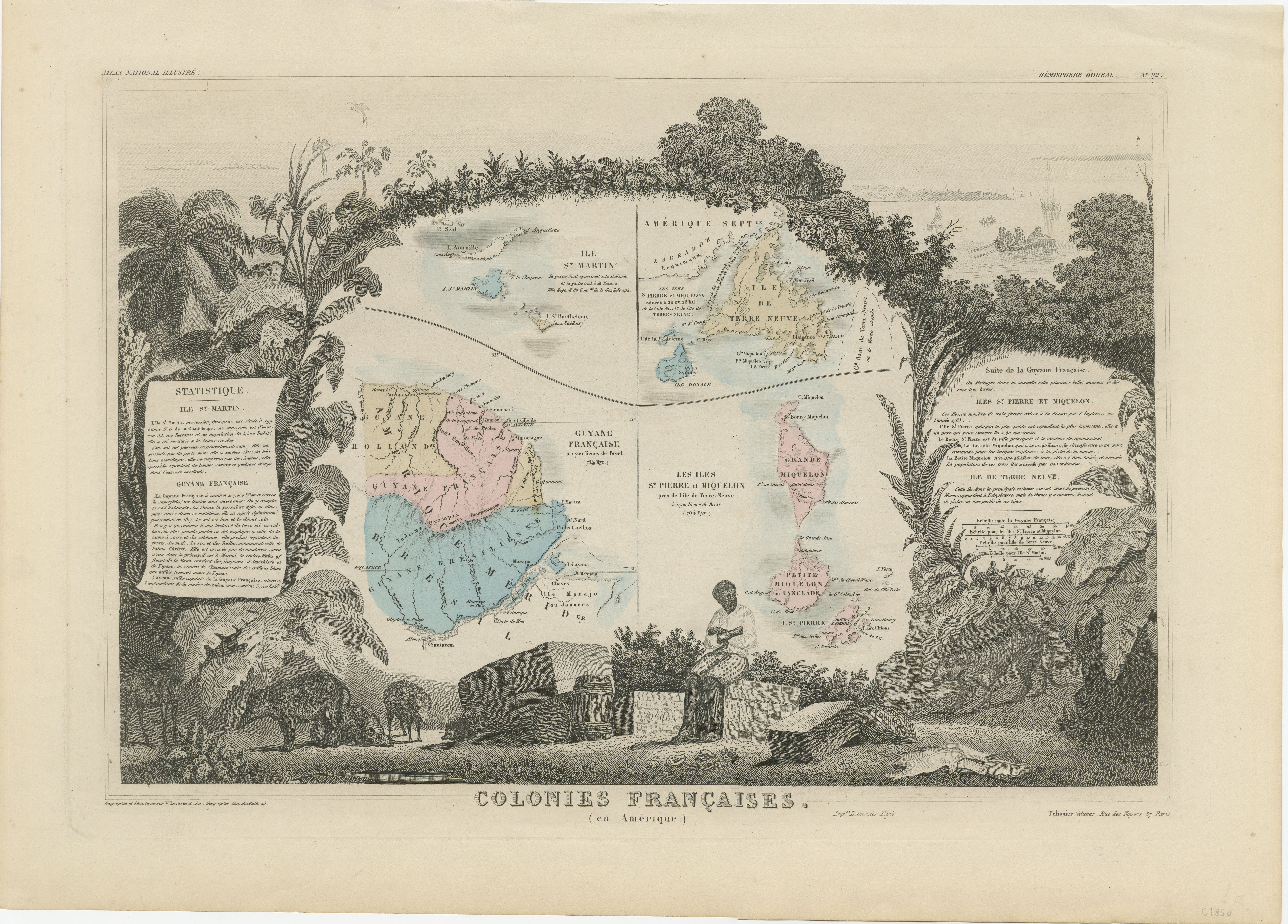
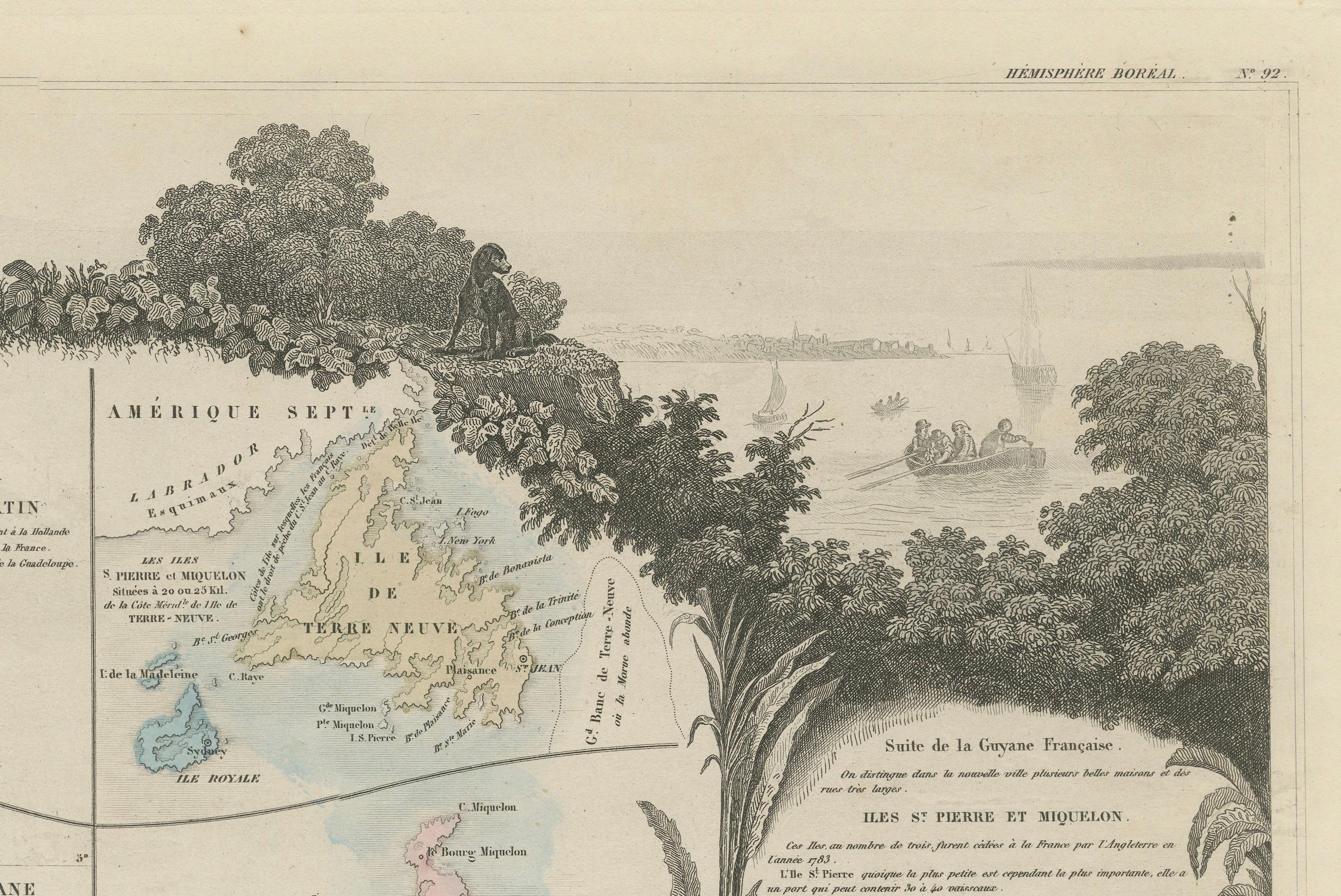
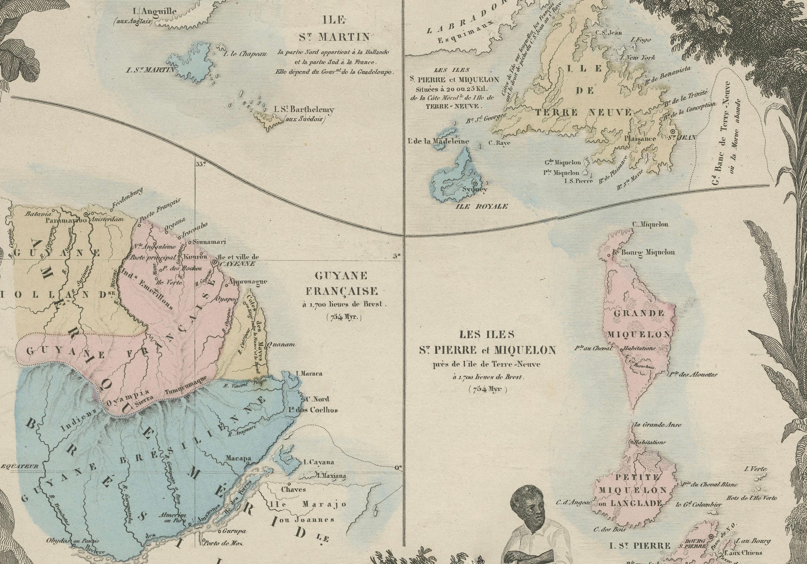
This is an intricately detailed map from 1852 titled *Colonies Françaises en Amérique*, depicting several key French colonies in the Americas.
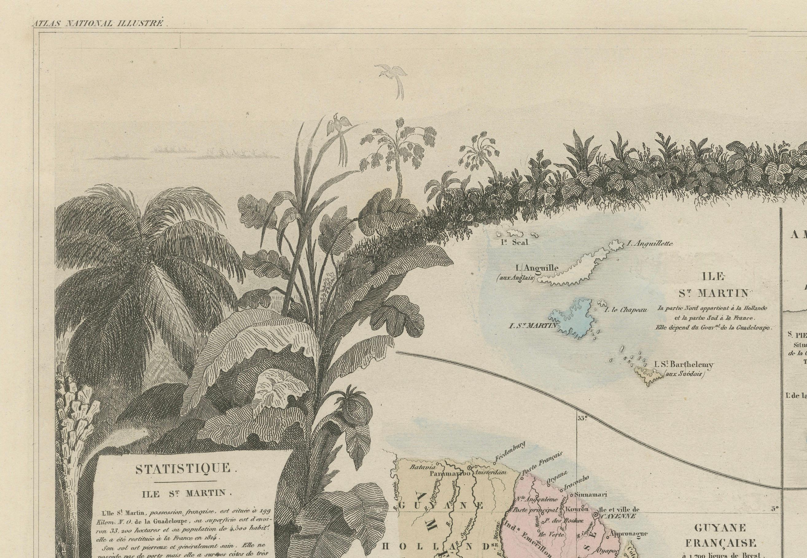
The map focuses on regions such as French Guyana, St. Martin, and the islands of St. Pierre et Miquelon. Surrounding the central map are smaller cartographic sections, along with detailed insets of each area. The map also includes sections of text that provide important statistical and historical information regarding the colonies, such as economic and political context.
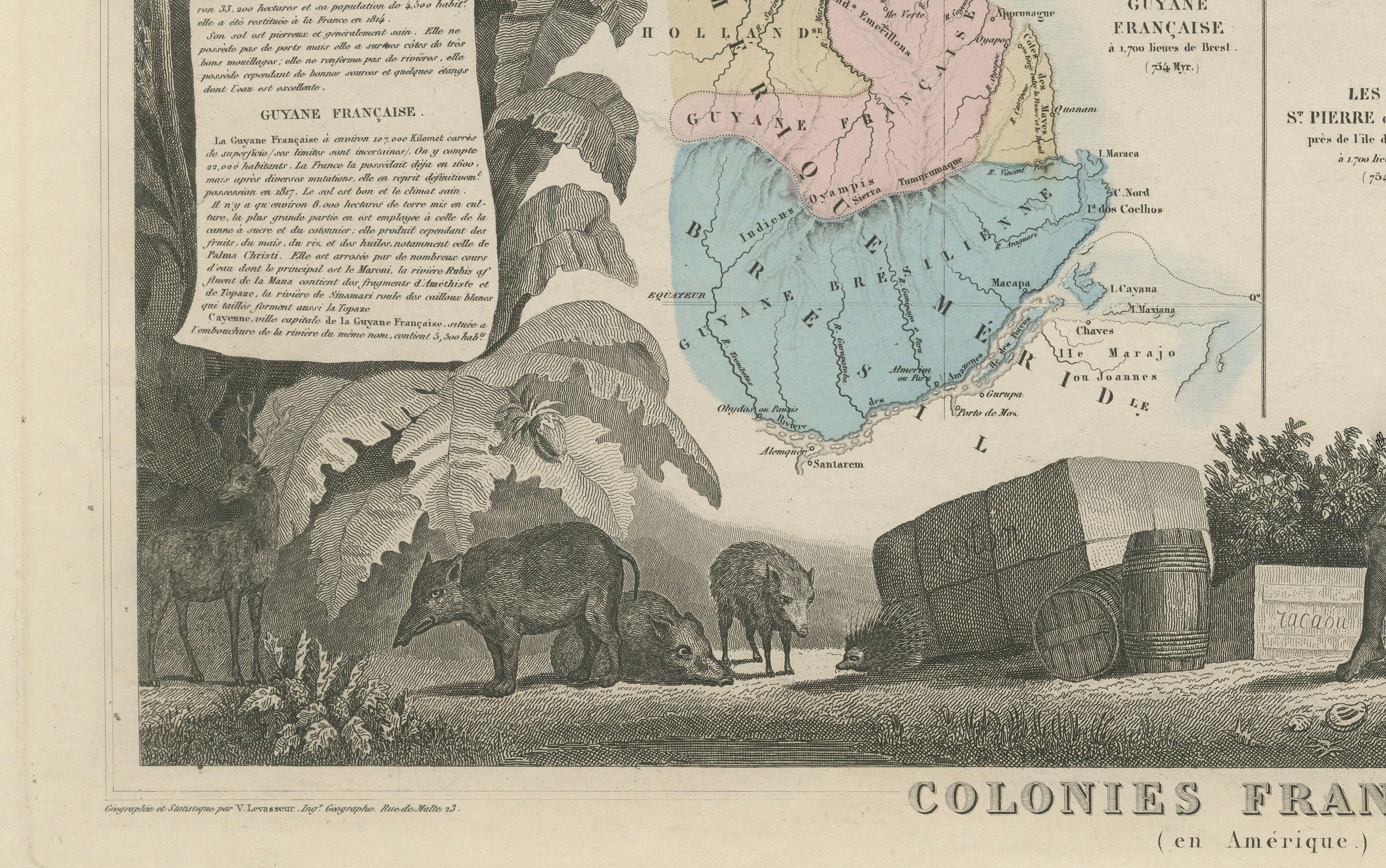
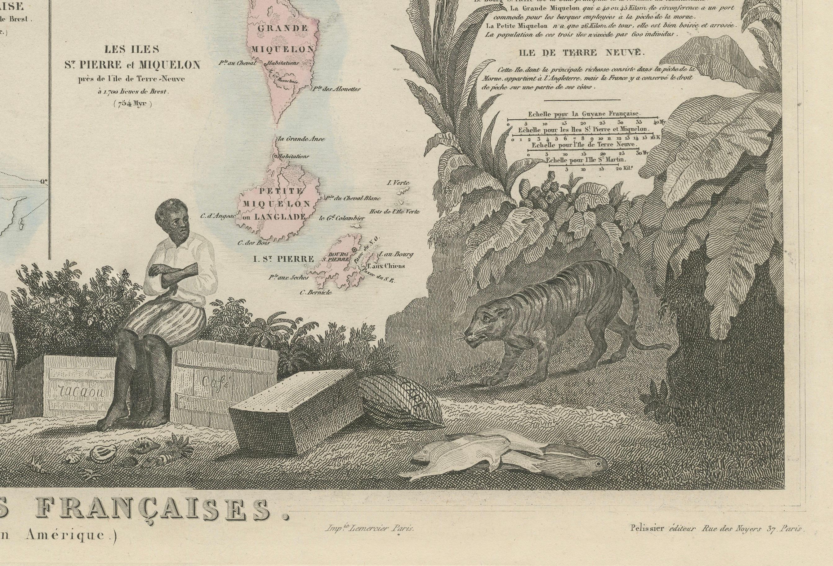
The lower portion of the map features an illustrative vignette of a local scene, depicting tropical plants, animals, and a figure seated among barrels and goods, highlighting the trade and agriculture of the regions. This map is a part of a series known for combining geographic precision with artistic engraving, and it serves as both a valuable historical record and an example of mid-19th century French colonial expansion in the Americas. Produced under the direction of the esteemed cartographer V. Levasseur, this print offers insight into France’s territorial holdings during this period.