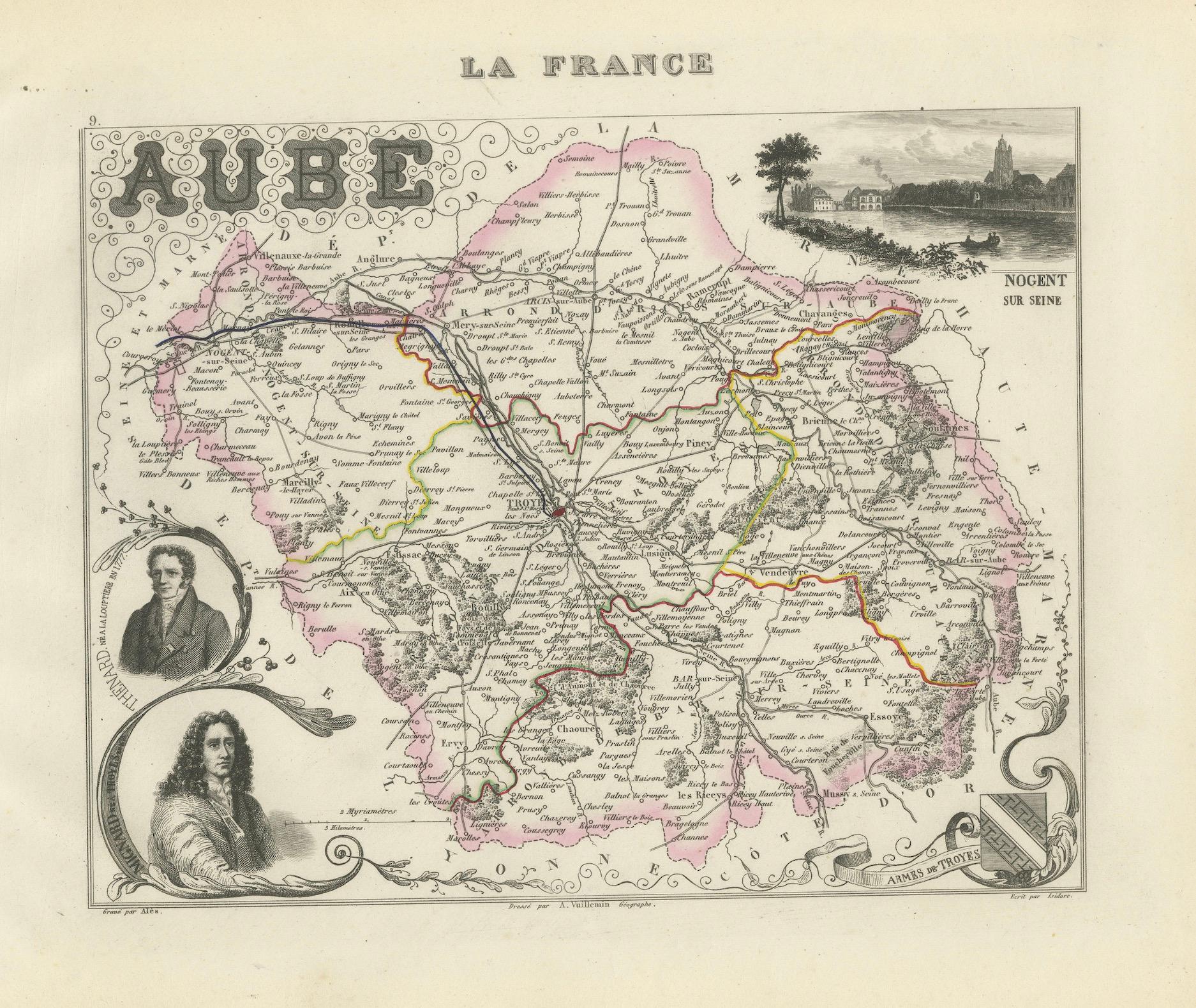
Map of Aube France with Troyes and Champagne Wine Region, 19th Century
€ 120
One of a kind: this is the sheet in the photographs. Ships from Langweer, the Netherlands.
Sheet size
26.1 × 32.5 cm (10.3 × 12.8 in)
Condition
Good
Reference
BG-13331-9
Condition
Very good condition with minimal toning and a few scattered foxing spots, mostly confined to the margins. Original hand coloring remains vibrant and the engraving is clear and sharp.
About this sheet
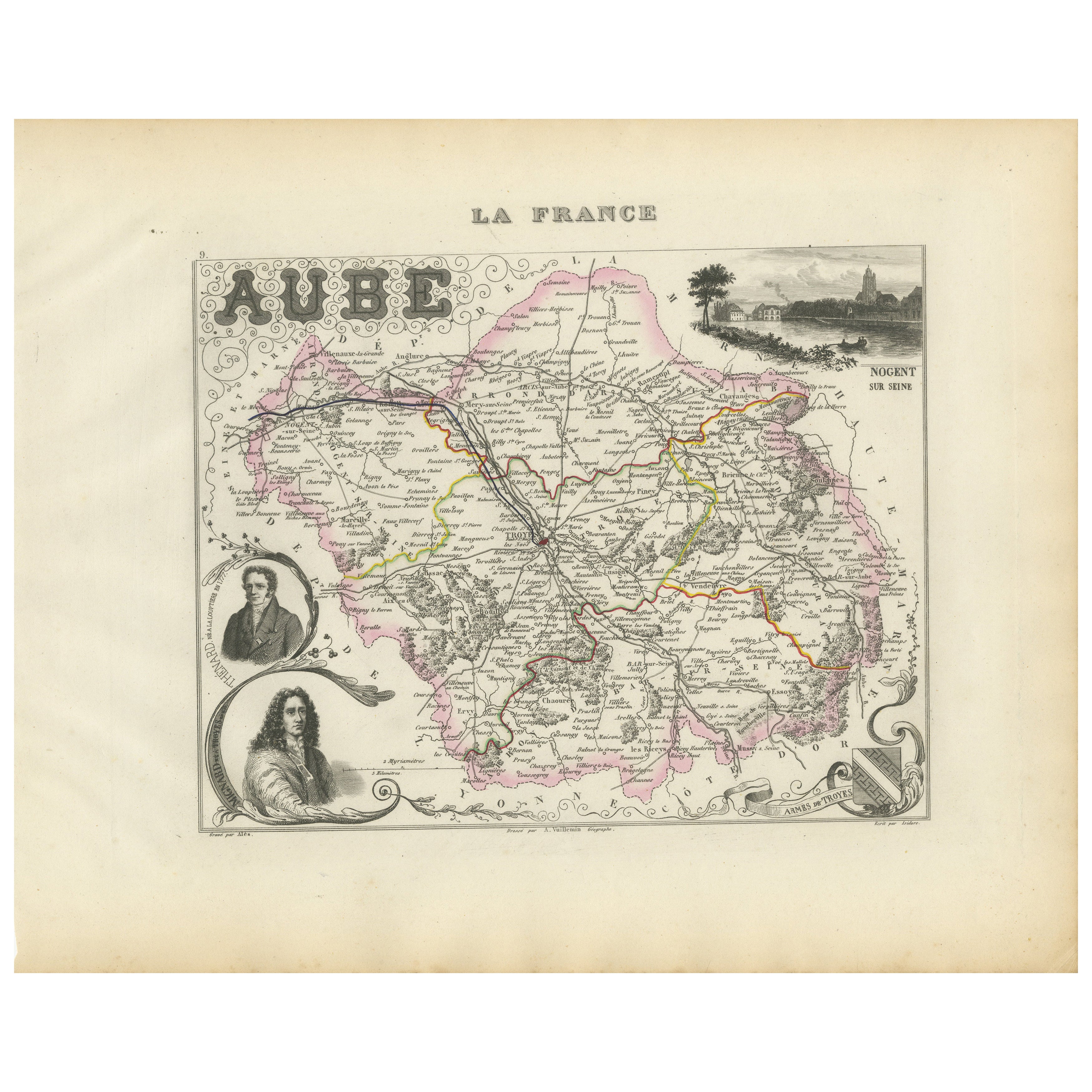
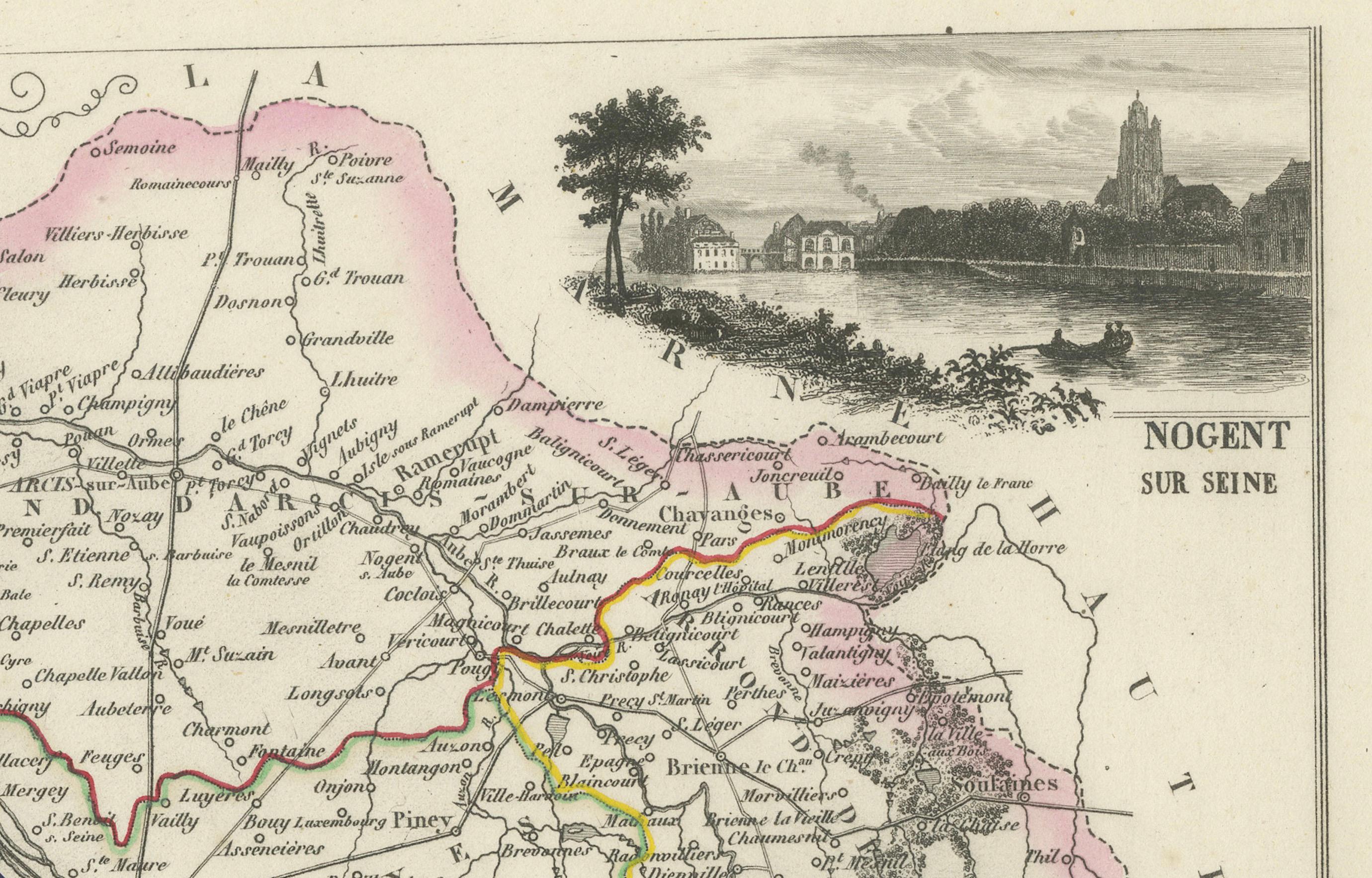
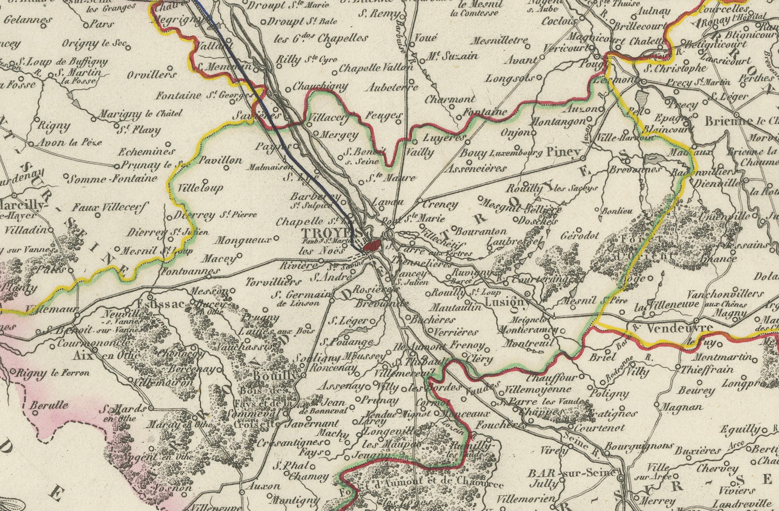
Map of Aube France with Troyes and Champagne Vineyards by Vuillemin, 19th c This 19th-century map of the Aube department in the Grand Est region of northeastern France was engraved by Alexandre Vuillemin and published by Migeon in Paris as part of the Nouvel Atlas Illustré. Combining fine cartography with historical and cultural illustration, the map offers a visual journey through one of France’s most historically rich and agriculturally significant regions.
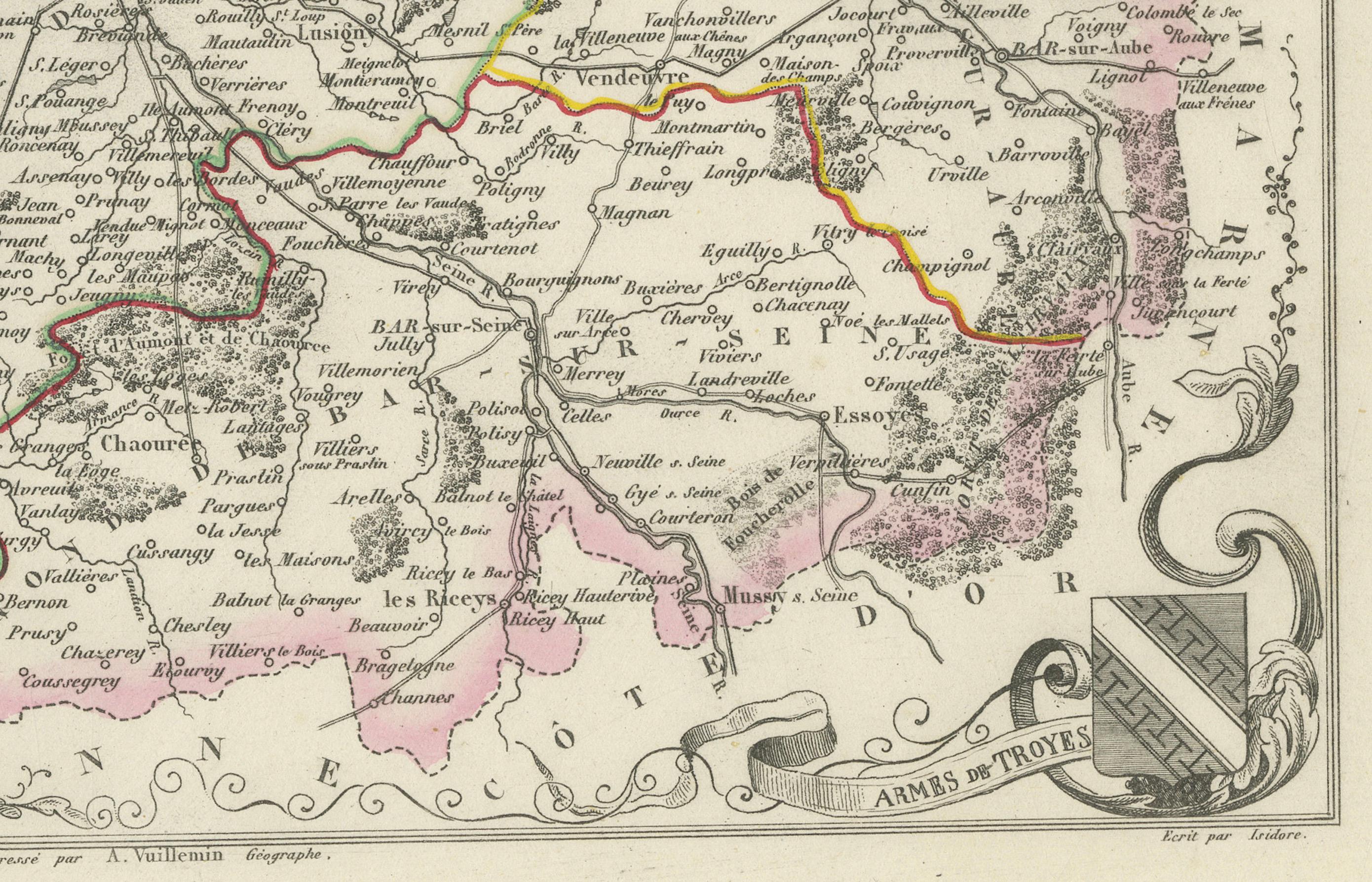
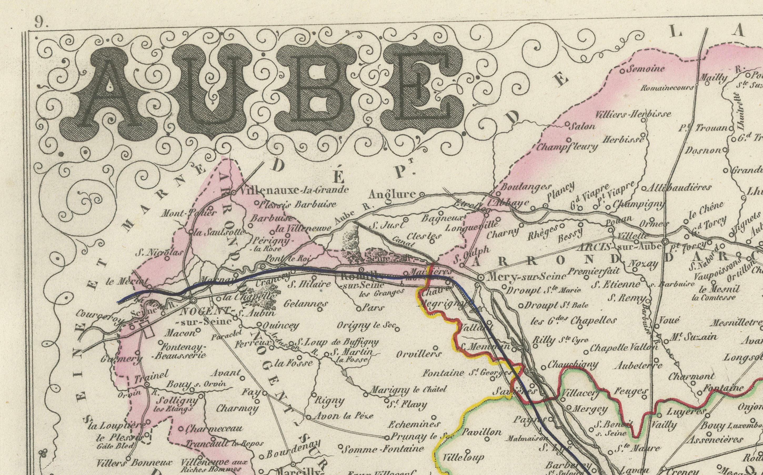
Aube is part of the historic Champagne region, and the map clearly displays its towns, rivers, and roadways, all bordered in hand-applied pastel pink. The capital city of Troyes is prominently positioned at the center, surrounded by a dense network of communes. To the right, a finely engraved vignette shows the town of Nogent-sur-Seine, situated along the banks of the river, offering a calm and picturesque atmosphere.
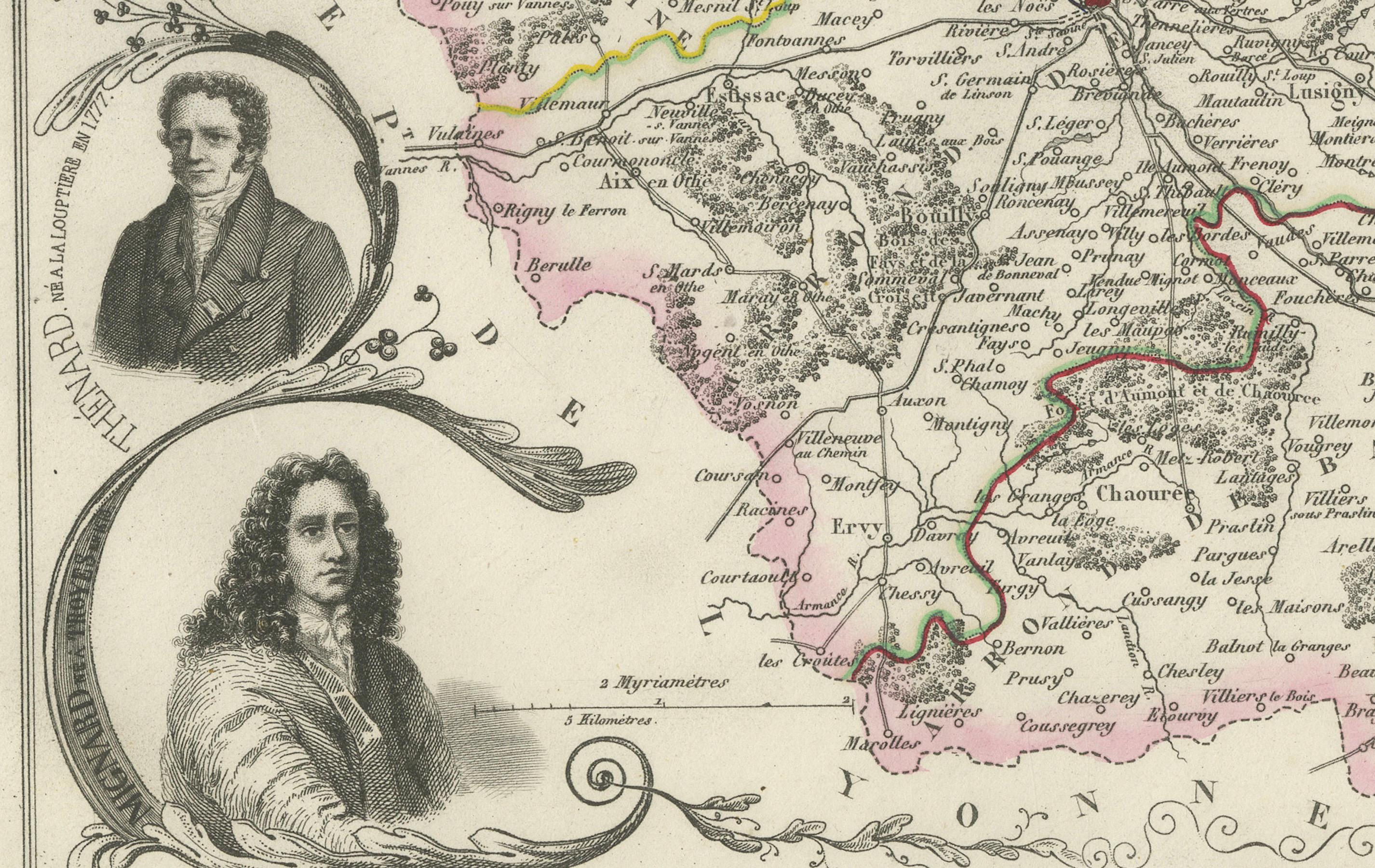
Two prominent portraits are featured in the lower left corner: Denis Diderot, the Enlightenment philosopher and editor of the Encyclopédie, who was born in Langres just outside Aube but is associated with the regional intellectual landscape; and Georges Cuvier, a pioneering naturalist who laid the foundations for paleontology. Their inclusion highlights the region’s contribution to French intellectual and scientific advancement.
Aube plays a major role in France’s wine culture as part of the southern Champagne-producing area. The Côte des Bar, located in the southern part of Aube, is especially known for producing high-quality Pinot Noir grapes, crucial for blending in Champagne production. While less internationally known than the vineyards of Reims and Épernay to the north, the vineyards around Bar-sur-Seine and Bar-sur-Aube have gained increasing recognition for their elegant and expressive sparkling wines.
Alexandre Vuillemin was a leading 19th-century French cartographer celebrated for merging technical accuracy with decorative and educational value. His maps are valued today for their aesthetic qualities and insight into the political and cultural geography of the time. The publisher Migeon specialized in illustrated educational works, bringing finely engraved atlases to a broad audience.
Condition summary: Very good condition with minimal toning and a few scattered foxing spots, mostly confined to the margins. Original hand coloring remains vibrant and the engraving is clear and sharp.
Framing tips: This map pairs well with a dark or gold-toned frame. A soft beige or off-white mat will complement the pink border color and engraved details. Use UV-filtering glass for preservation and to maintain the crispness of the print.