About this sheet
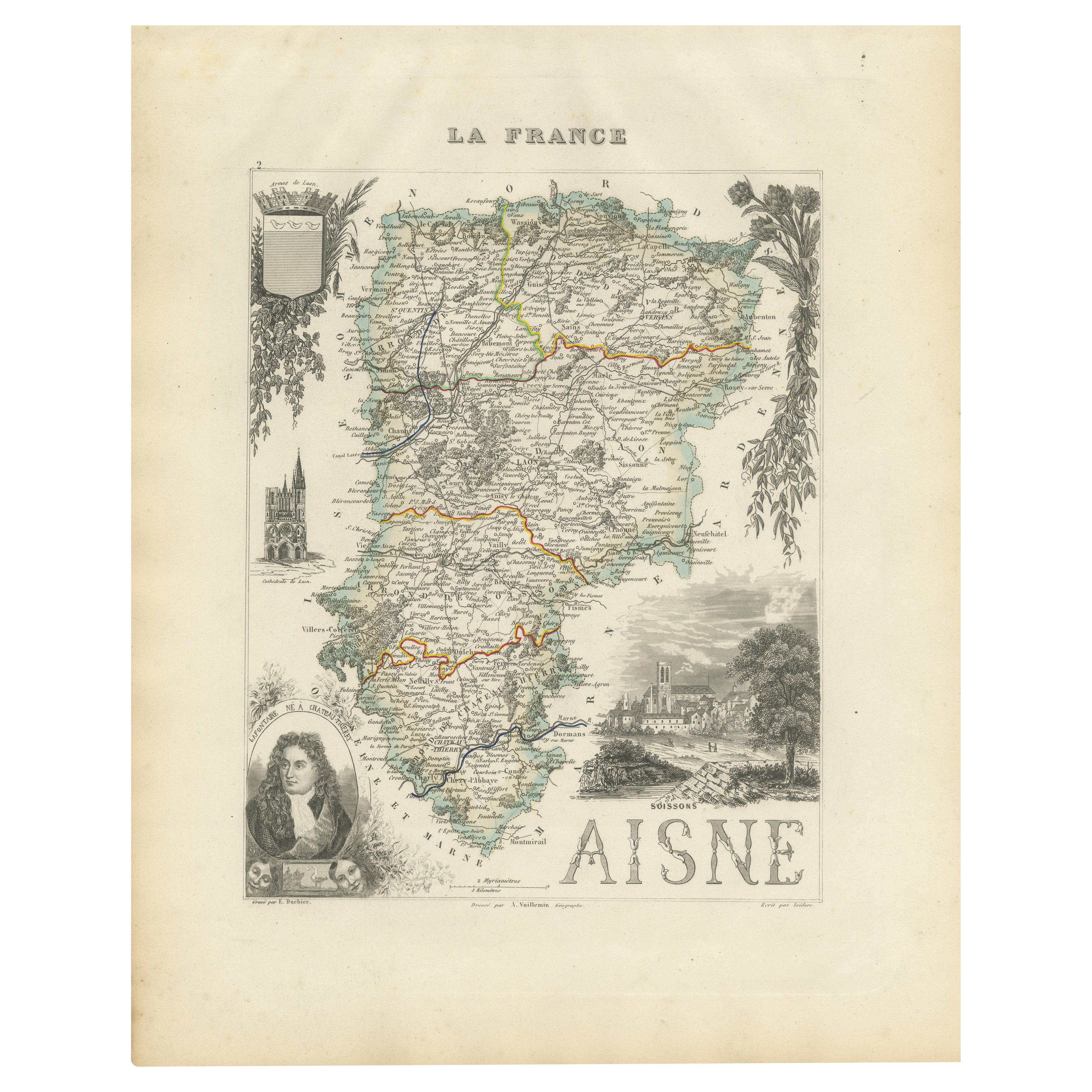
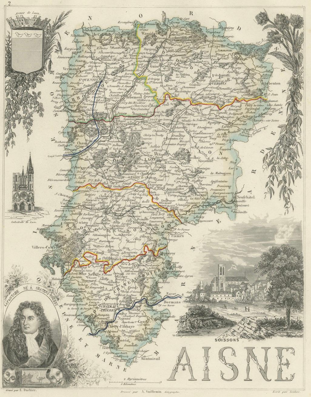
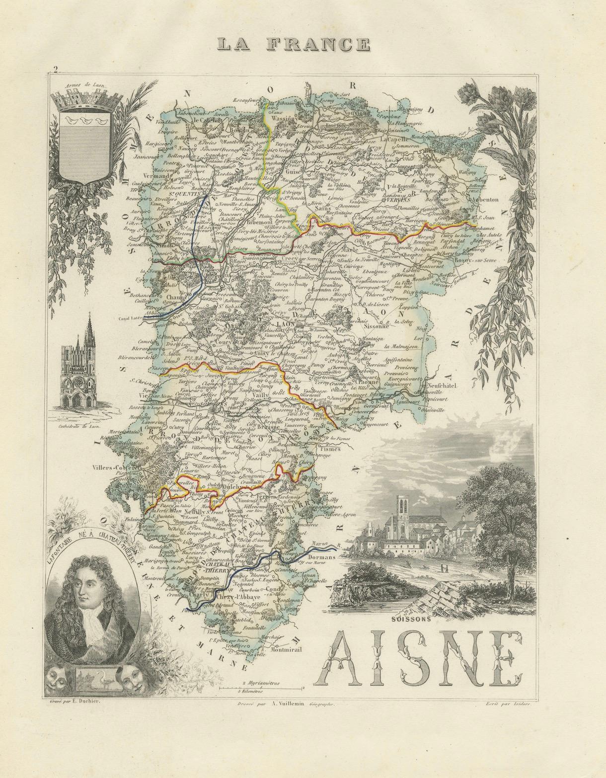
Map of Aisne France with Soissons and Champagne Vineyards by Vuillemin, 19th c
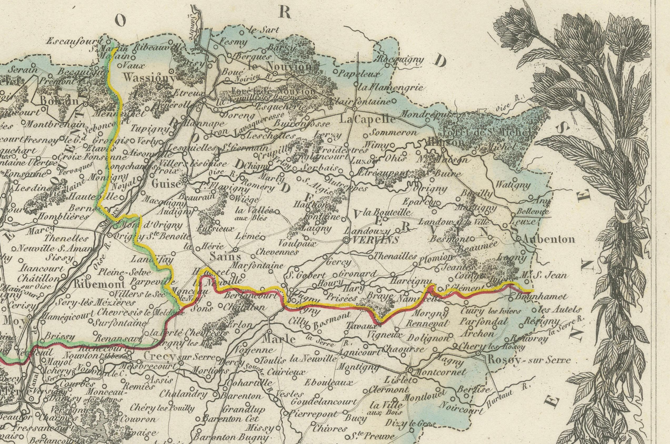
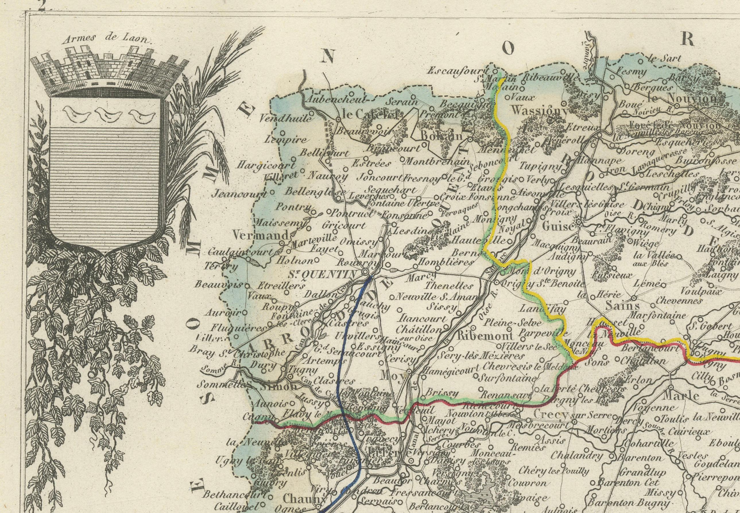
This richly detailed 19th-century engraved and hand-colored map of the department of Aisne in northern France is part of Alexandre Vuillemin’s renowned Nouvel Atlas Illustré, published in Paris by Migeon. The map artfully combines cartographic precision with finely engraved vignettes, giving insight into the cultural and geographical identity of the region during the mid-1800s.
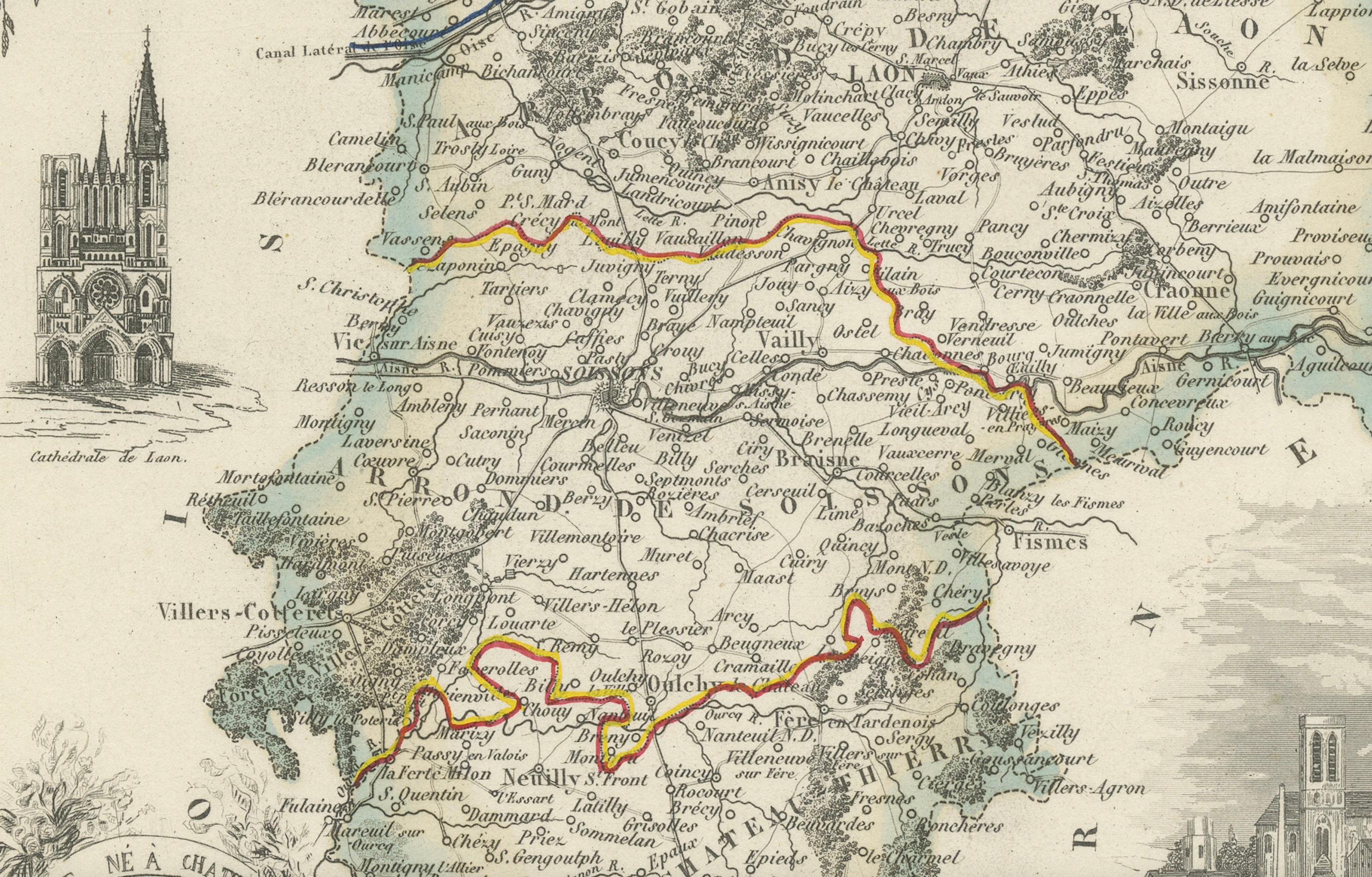
Aisne, located in the historical region of Picardy, is bordered by the departments of Nord, Ardennes, Marne, Seine-et-Marne, Oise, and Somme. The map features delicate pastel hand-coloring to delineate borders, along with a wealth of named towns, rivers, and roads. The surrounding vignette illustrations add a strong visual appeal and highlight notable landmarks and personalities from the area.
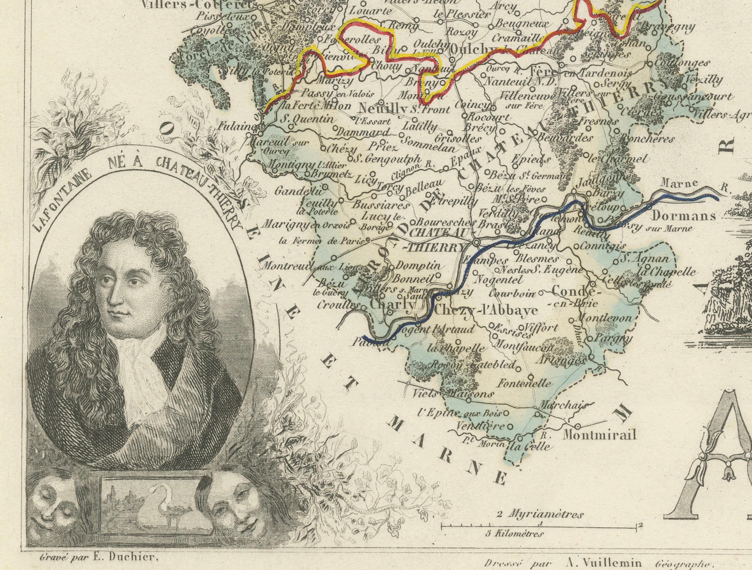
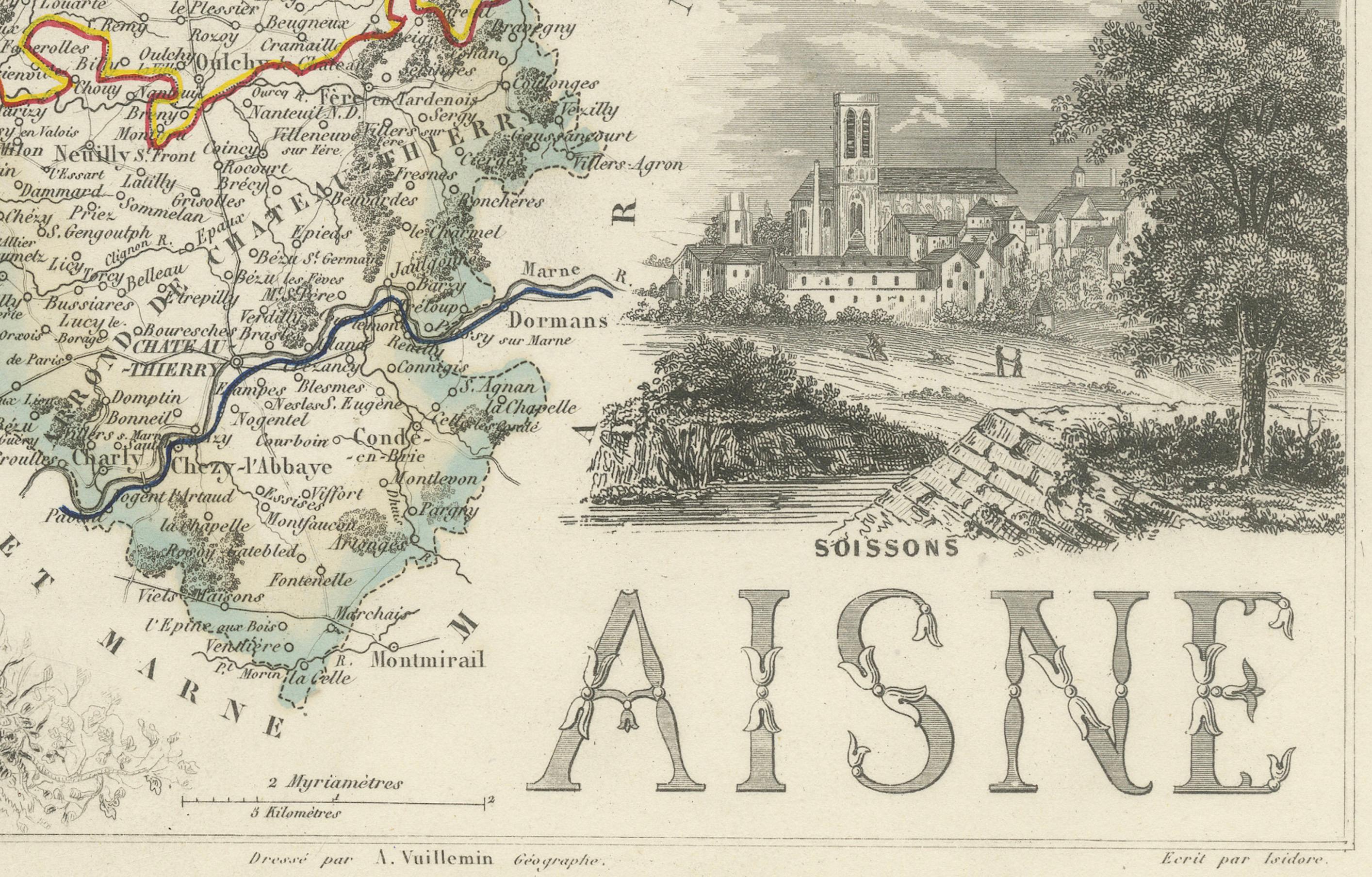
The lower left corner features a portrait of Louis Charles Auguste Le Tonnelier de Breteuil, a diplomat and minister of Louis XVI, who was born in Aisne. On the lower right is a charming rendering of Soissons, one of the department’s oldest and most historically significant towns, once a capital of the Frankish kingdom. To the left, the cathedral of Laon is beautifully engraved with Gothic architectural detail.
Aisne is also known as the western edge of the famed Champagne region. The southern part of the department, particularly around Château-Thierry, is part of the official Champagne Appellation d'Origine Contrôlée zone. Vineyards in this area contribute to the production of Pinot Meunier, one of the three primary grapes used in Champagne. The blend of pastoral landscapes, viticulture, and medieval architecture has made Aisne a lesser-known but culturally rich part of the Champagne heritage.
The engraver, Alexandre Vuillemin, was a respected French cartographer who specialized in decorative and educational maps in the 19th century. His maps are celebrated not only for their geographic accuracy but also for their artistic embellishments, often combining history, topography, and portraiture. The publisher, Migeon, was known for high-quality illustrated works, and this map reflects both scientific rigor and visual refinement.
Condition summary:
Very good antique condition with light age toning and minor foxing in the margins. Engraving remains crisp, and original hand coloring is intact and vibrant.
Framing tips:
Ideal for a traditional or classical interior, this map pairs well with a dark wood or gilt frame. Use a soft cream or parchment-toned mat to highlight the engraving and warm tones of the paper.