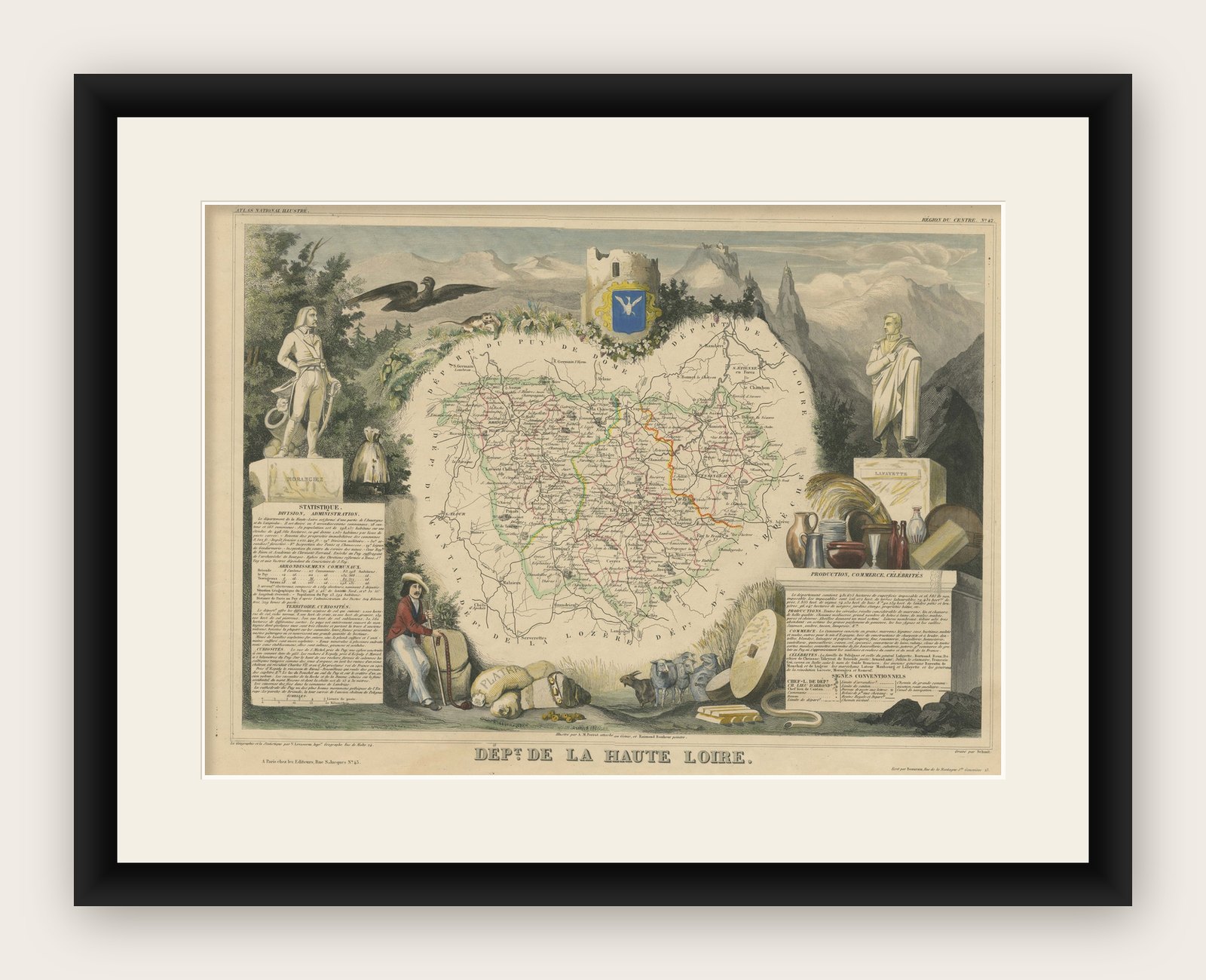
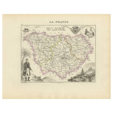
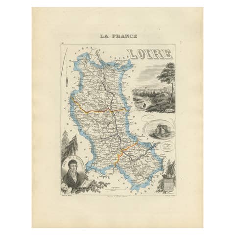
Hand Colored Antique Map of the Department of Haute Loire, France
€ 340
Original antique · The actual sheet photographed · Certificate of authenticity on request · Sold unframed · Worldwide shipping from € 15 (rates)
Mapmaker / artist
Victor Levasseur
Sheet size
37 × 54.9 cm (14.6 × 21.6 in)
Condition
Good
Reference
BG-13216-51
What the condition grades mean
Excellent
Bright and clean, with no faults worth mentioning.
Very good
Only light signs of age, such as faint toning.
Good
Normal signs of age for a sheet of this period: toning, some foxing, small marks or neat old repairs.
Fair
Clear faults such as staining, tears or repairs, priced to match.
Every fault we see is written in the condition note, and the whole sheet is shown uncropped in the photos.
Condition
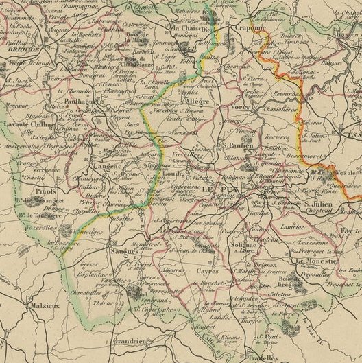
Wear consistent with age and use. General age-related toning. Shows some wear and soiling, blank verso. Few small tears/splits in margins. Please review the images for further condition details.
About this sheet
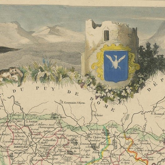
Antique map titled 'Dept. de la Haute Loire'. Map of the French department of Haute Loire, France. This area of France is part of the Loire Valley wine growing region. It is also known for its production of a number of cheeses, including Bleu d'Auvergne, Cantal, Fourme d'Ambert and Saint-Nectaire. The map is surrounded by elaborate decorative engravings designed to illustrate both the natural beauty and trade richness of the land. There is a short textual history of the regions depicted on both the left and right sides of the map.
This map originates from 'Atlas National de la France Illustree' published by V. Levasseur, circa 1852.
Victor Levasseur (1800–1870) was a French cartographer widely known for his distinctive decorative style. He produced numerous maps more admired for the artistic content of the scenes and data surrounding the map than for the detail of the map. Victor Levasseur's "Atlas National Illustré" and "Atlas Universel Illustré" are among the last great decorative atlases published.