About this sheet
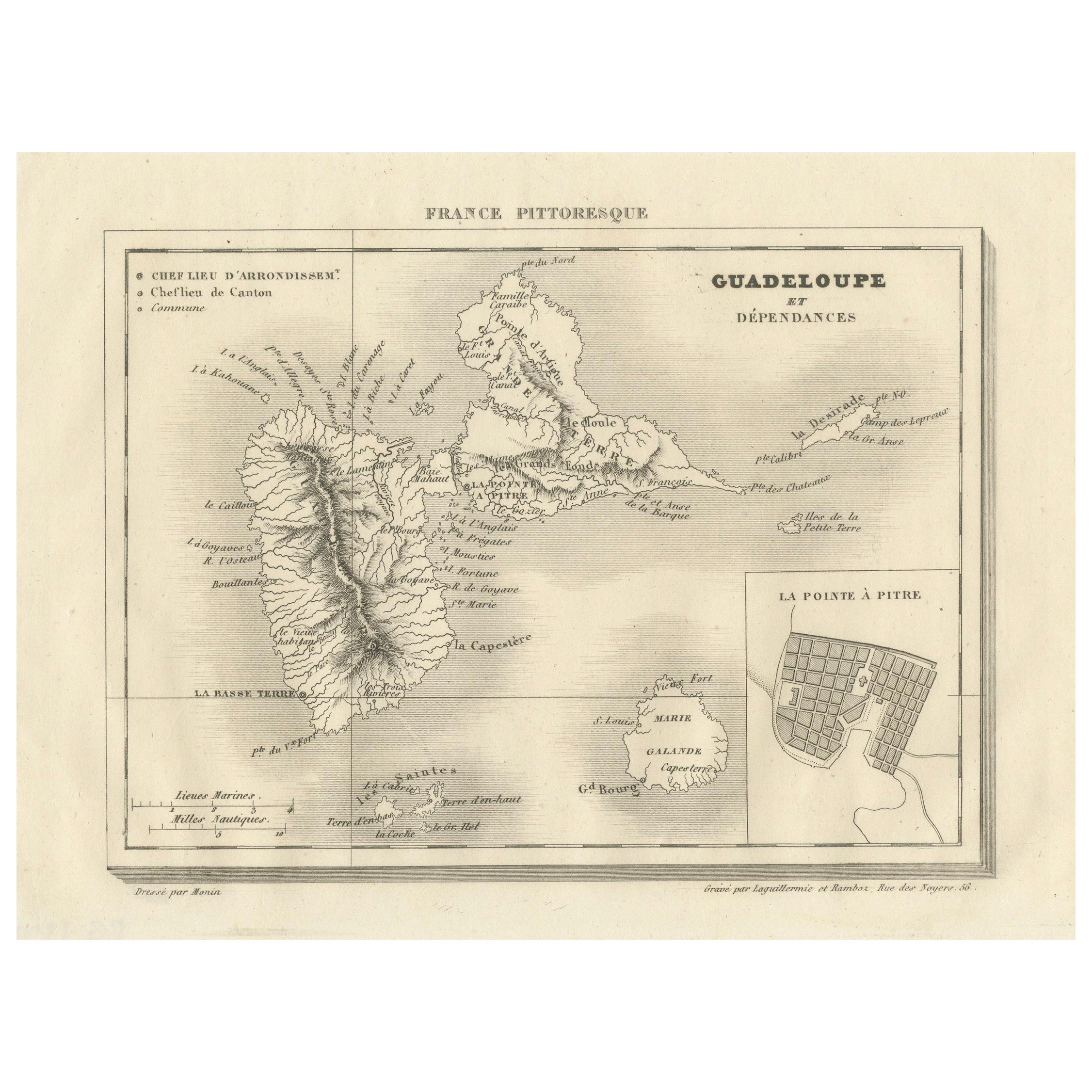
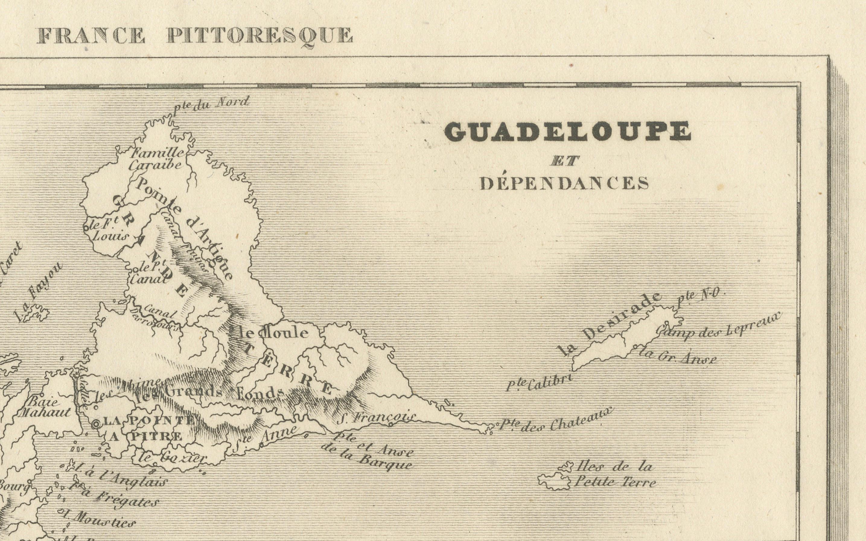
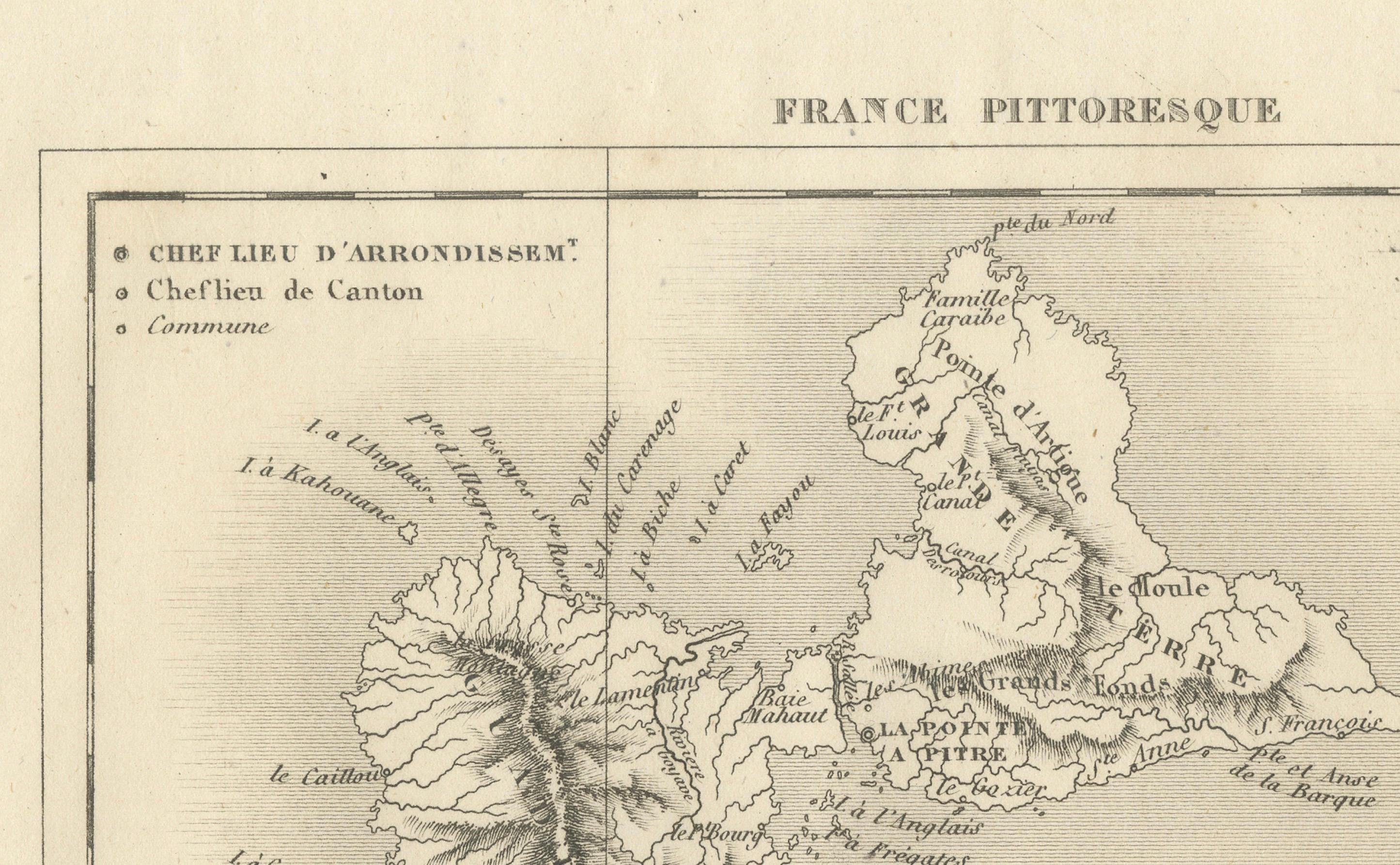
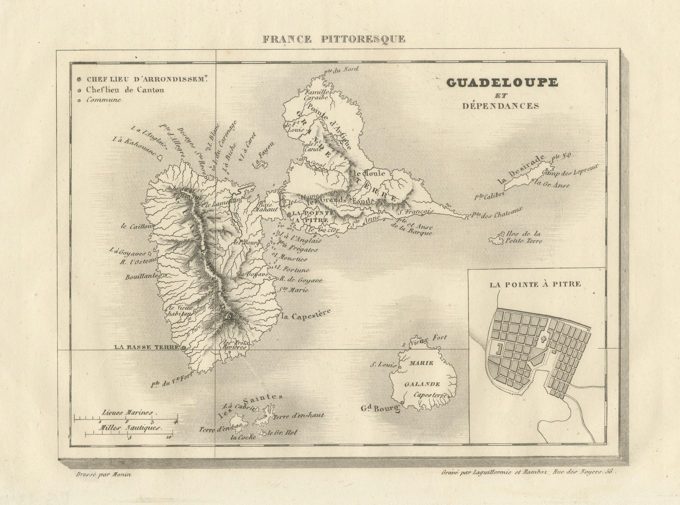
This map titled "Guadeloupe et Dépendances" is part of the France Pittoresque series and provides a detailed view of the island of Guadeloupe and its surrounding dependencies.
Features:
- The map shows the two main landmasses of Guadeloupe: Basse-Terre and Grande-Terre, separated by a narrow channel.
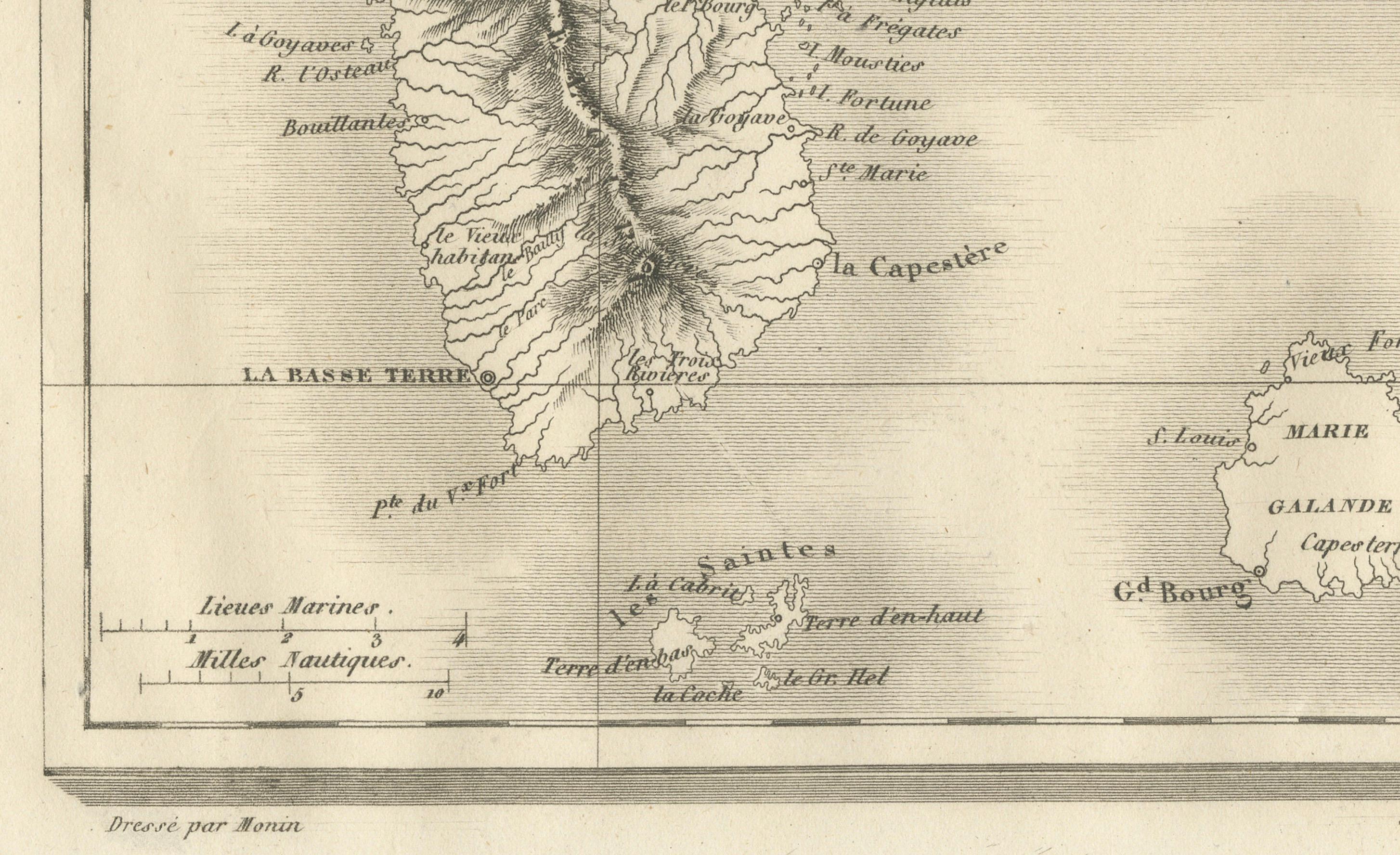
- Several smaller islands, including Marie-Galante, Les Saintes, and La Désirade, are also depicted.
- The main cities, towns, and geographical features are labeled, with emphasis on the island's mountain ranges and rivers, particularly on Basse-Terre.
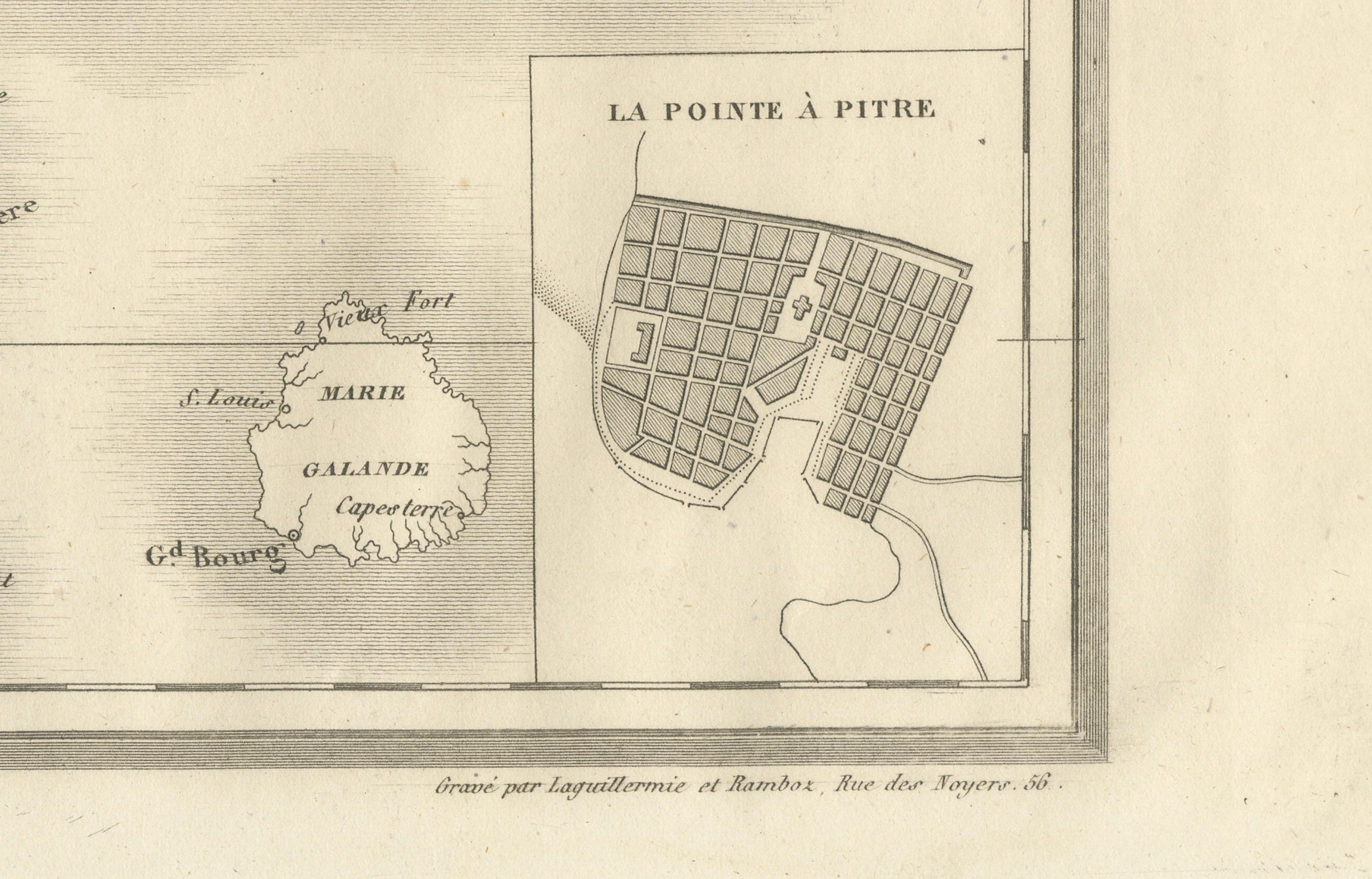
- An inset at the bottom right provides a detailed plan of Pointe-à-Pitre, a major city and port on the island. The grid layout of the streets is clearly shown, reflecting urban planning of the time.
Artistic and Cartographic Details:
- The map uses clear linework to differentiate between the different islands and the sea, with significant natural features such as mountains and rivers carefully depicted.
- The map was drawn by Monin and engraved by Jacqueline and Barrière, whose names appear in the lower right corner.
- The scale in the lower left corner is measured in leagues, showing distances both by land and sea.
Historical Context:
- This map likely dates to the mid-19th century, a period when Guadeloupe was a key French colony in the Caribbean. Guadeloupe was known for its sugar and coffee plantations, which played a significant role in France's colonial economy.
- Maps like this were often used for administrative, military, and educational purposes to give a comprehensive view of France's overseas territories.
The map of Guadeloupe et Dépendances from the France Pittoresque series likely dates to the mid-19th century, around 1840 to 1860. This period corresponds to the height of French colonial influence in Guadeloupe, and the map's style, detailed urban planning, and cartographic techniques are consistent with maps produced in that era.
The specific publication date could be further narrowed down if the map was part of a known edition of the France Pittoresque atlas, but based on the cartographic style and historical context, 1840–1860 is a reasonable estimate.
Here are some relevant keywords people might use when searching for a map of Guadeloupe and its surrounding areas:
1. Guadeloupe map
2. Basse-Terre and Grande-Terre map
3. French Caribbean islands map
4. Map of Guadeloupe and dependencies
5. Pointe-à-Pitre map
6. Historical map of Guadeloupe
7. 19th-century Guadeloupe map
8. Guadeloupe colonial map
9. Marie-Galante and Les Saintes map
10. La Désirade map
11. Guadeloupe cartography
12. Vintage map of Guadeloupe
13. France Pittoresque Guadeloupe map
14. Caribbean island maps
15. French colonial maps of the Caribbean
These keywords would help target people interested in historical maps, geography, and French colonial territories in the Caribbean.