Guadeloupe and Dependencies: 19th Century French Map and Inset of Pointe-à-Pitre
€ 140
One of a kind: this is the sheet in the photographs. Ships from Langweer, the Netherlands.
Sheet size
24 × 31.5 cm (9.4 × 12.4 in)
Reference
BG-13093-24
Condition
good, given age. Some creasing. General age-related toning and/or occasional minor defects from handling. Please study scan carefully.
About this sheet
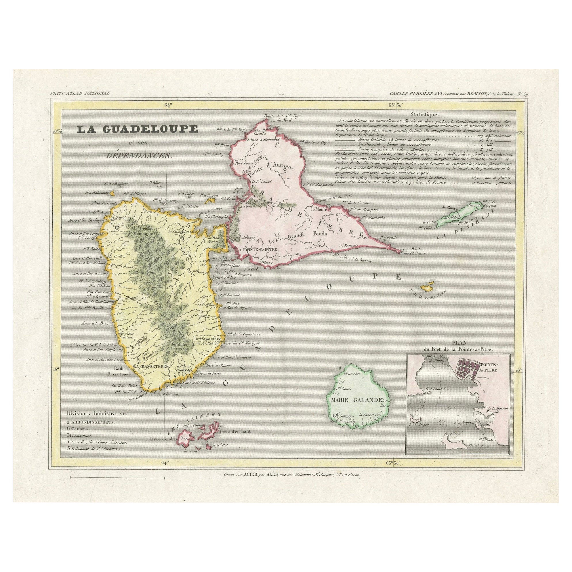
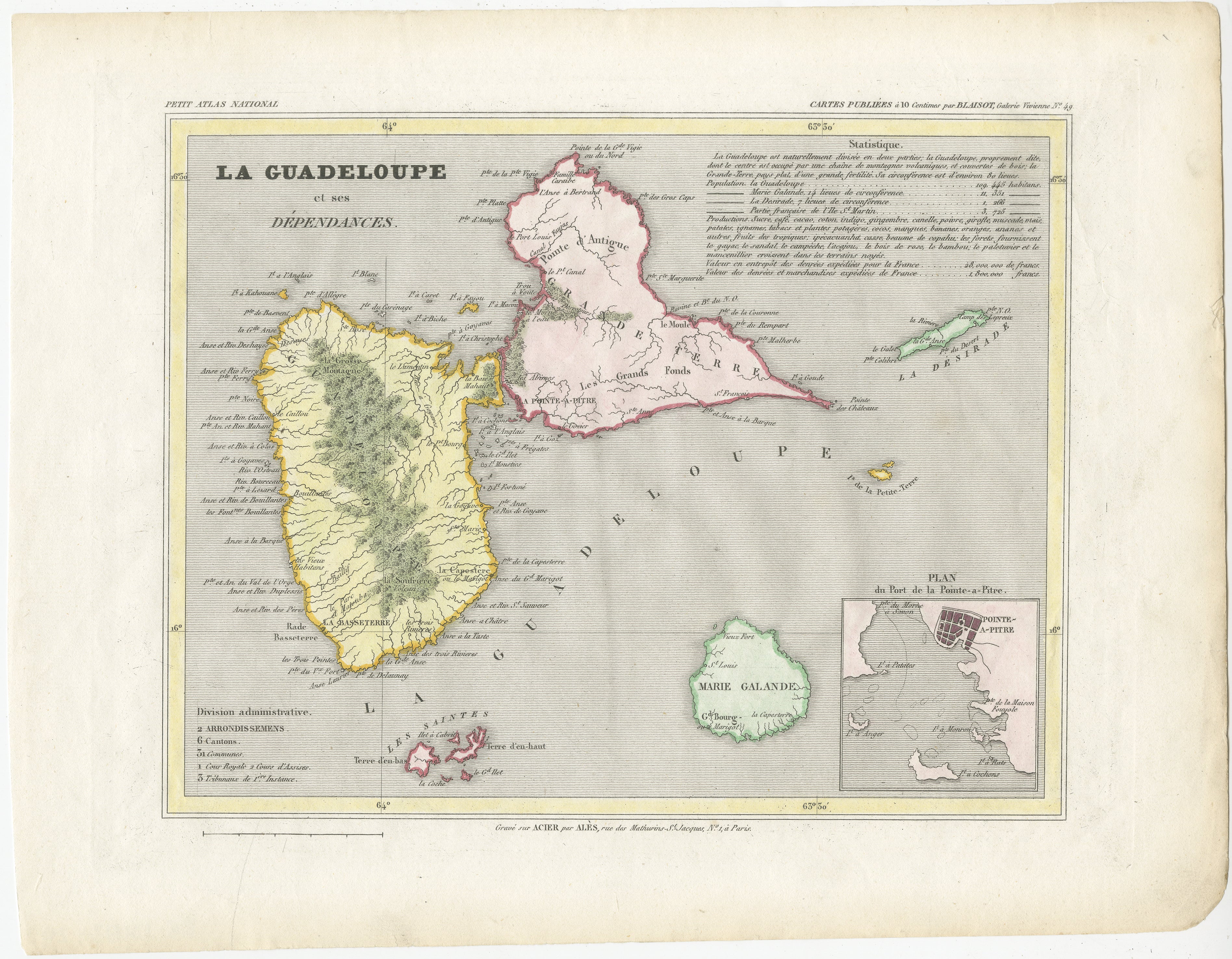
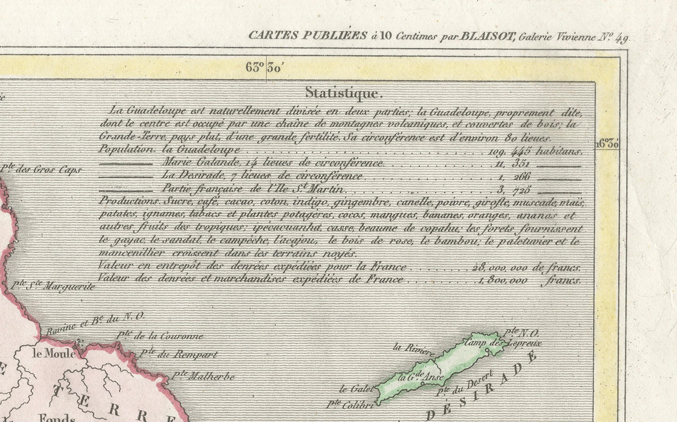
This map titled "La Guadeloupe et ses Dépendances" (Guadeloupe and its Dependencies) is from a Petit Atlas National series, focusing on the French Caribbean islands of Guadeloupe, Marie-Galante, La Désirade, and surrounding smaller islands. Here’s a detailed breakdown:
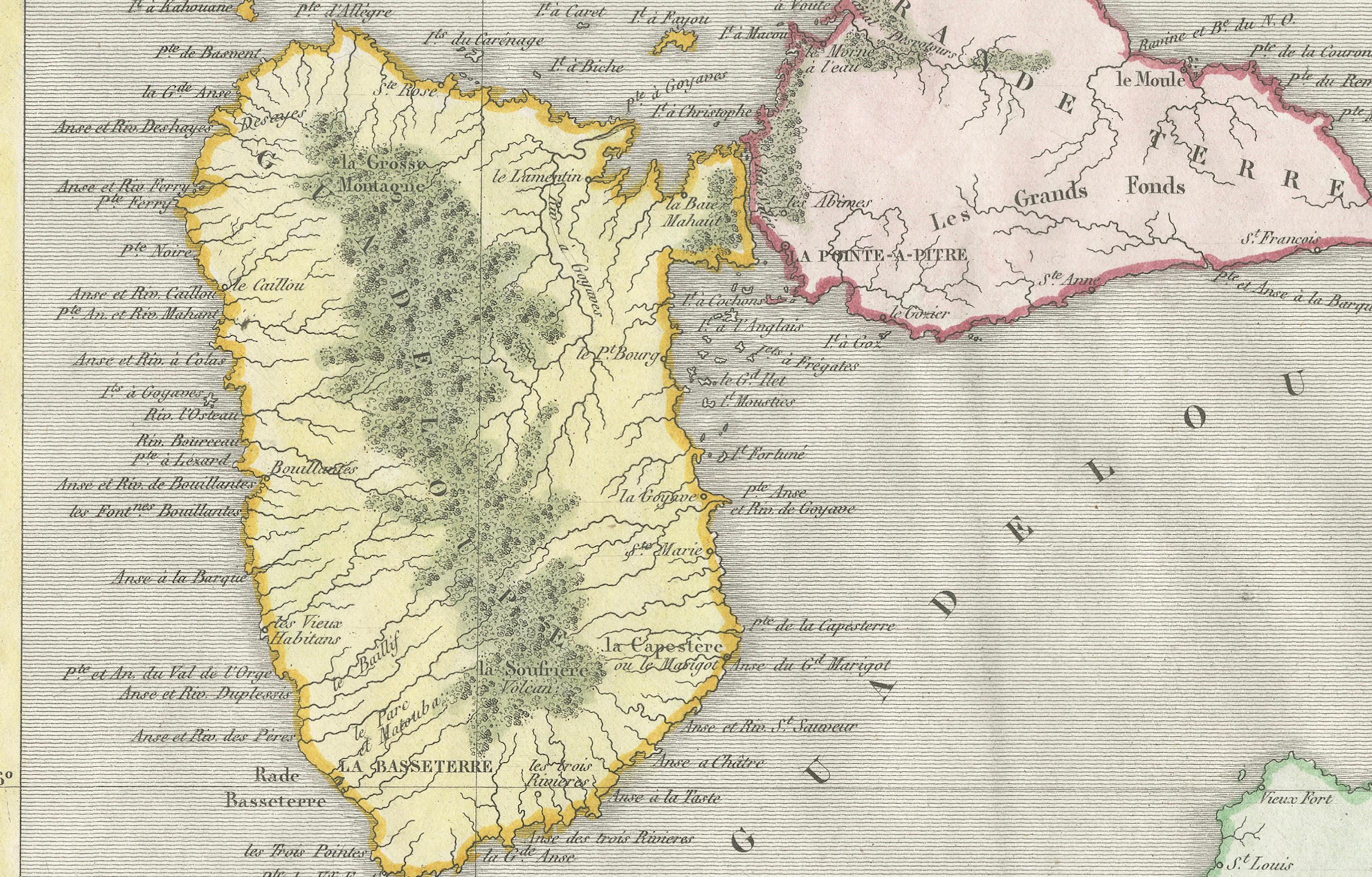
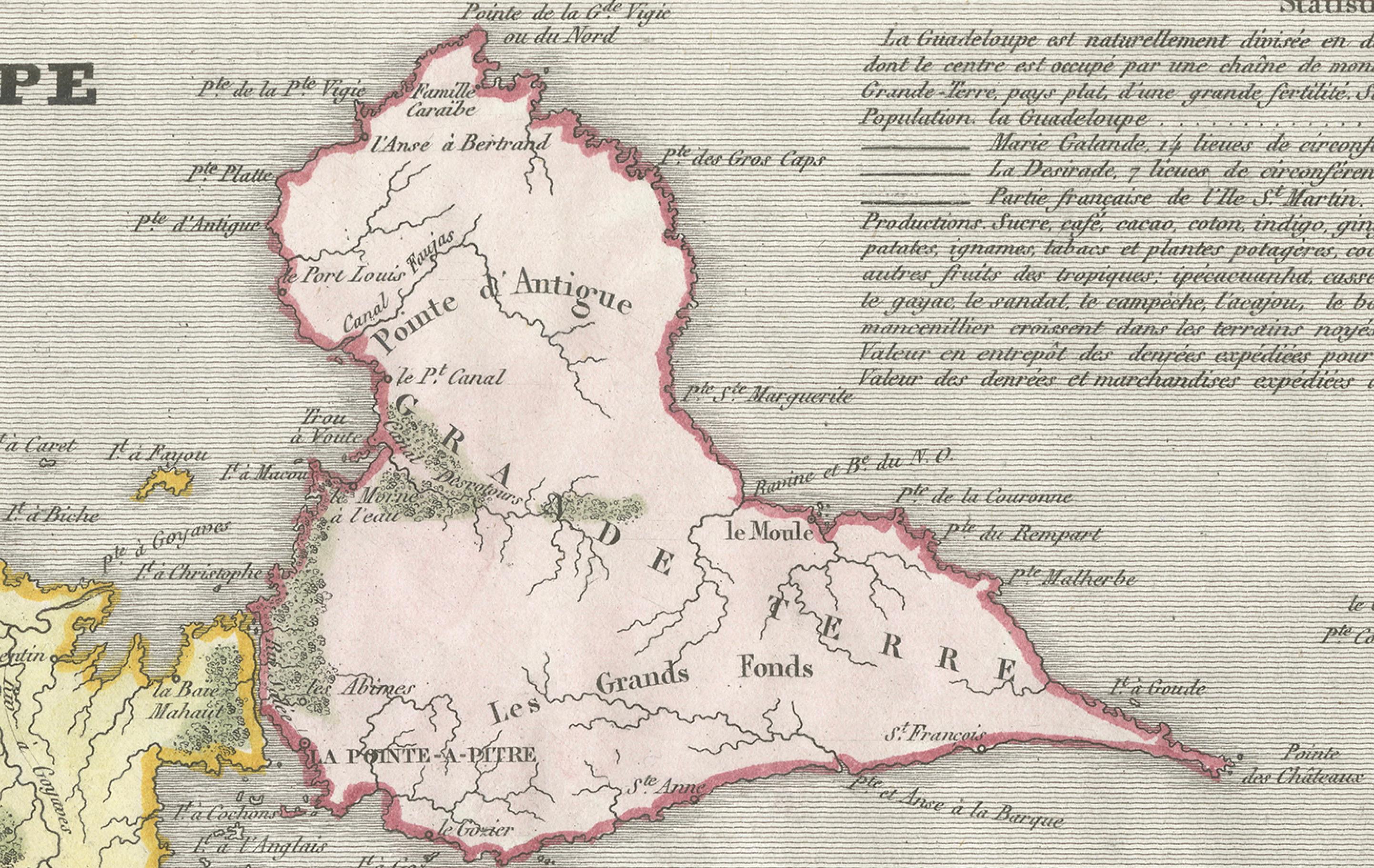
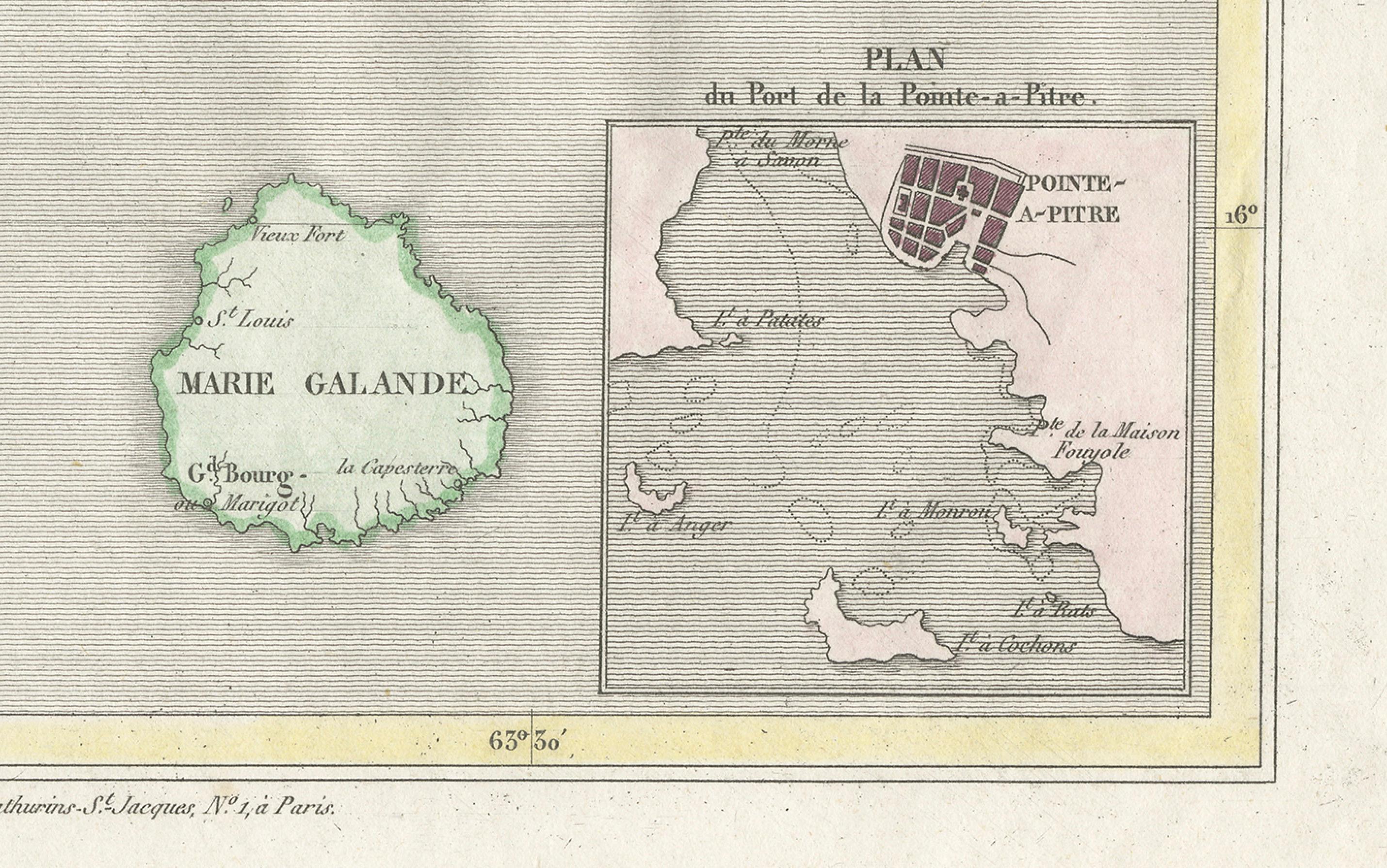
Visual and Geographic Description: - The map shows the island of Guadeloupe, which is divided into two main landmasses, Basse-Terre and Grande-Terre, separated by a narrow water channel. The island's rugged terrain, including its mountainous regions, is clearly illustrated. - Marie-Galante, La Désirade, and other smaller islands are also depicted as part of Guadeloupe’s dependencies. - Administrative divisions are labeled, with town names and geographical features such as rivers and mountains noted. The surrounding ocean is labeled as the "Mer des Antilles" (Caribbean Sea). - There is a small inset map at the bottom right labeled "Plan du Port de la Pointe-à-Pitre," showing a detailed layout of the harbor and city of Pointe-à-Pitre, one of Guadeloupe’s key port cities and economic centers.
Artistic and Cartographic Features: - The map is hand-colored, with different regions outlined in soft shades, such as yellow for Guadeloupe and green for Marie-Galante. - It is an example of early 19th-century French cartography, likely intended for educational or governmental use given its precise, clear delineation of administrative and geographical features. - The title cartouche at the top is simple and elegant, with the text "Statistique" providing a description of the island's geography, economy, and population.
Historical Context: - Guadeloupe has been a French colony since the 17th century and remains a French overseas department. During the 19th century, maps like this would have been important for understanding the geography and administration of France's Caribbean territories. - Pointe-à-Pitre, highlighted in the inset map, was a crucial center for trade and the sugar economy that defined much of Guadeloupe’s colonial history.
This map would have been part of a series of French national atlases, showcasing the extent and detail of France's overseas territories during the 19th century.