Maps & PrintsBartele Gallery · Langweer
Home / Antique Maps / Europe / Western Europe / France

France

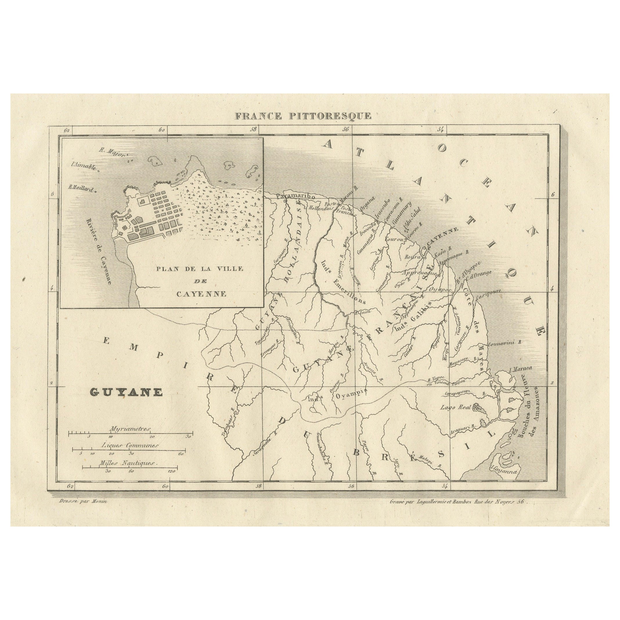
French Guiana and Cayenne: Mid-19th Century Map from France Pittoresque Series

€ 120

Original antique · The actual sheet photographed · Certificate of authenticity on request · Sold unframed · Worldwide shipping from € 15 (rates)

Sheet size
17 × 28 cm (6.7 × 11.0 in)
Reference
BG-13093-21
What the condition grades mean
Excellent
Bright and clean, with no faults worth mentioning.
Very good
Only light signs of age, such as faint toning.
Good
Normal signs of age for a sheet of this period: toning, some foxing, small marks or neat old repairs.
Fair
Clear faults such as staining, tears or repairs, priced to match.

Every fault we see is written in the condition note, and the whole sheet is shown uncropped in the photos.

Condition

Good, given age. General age-related toning and/or occasional minor defects from handling. Please study scan carefully.
About this sheet

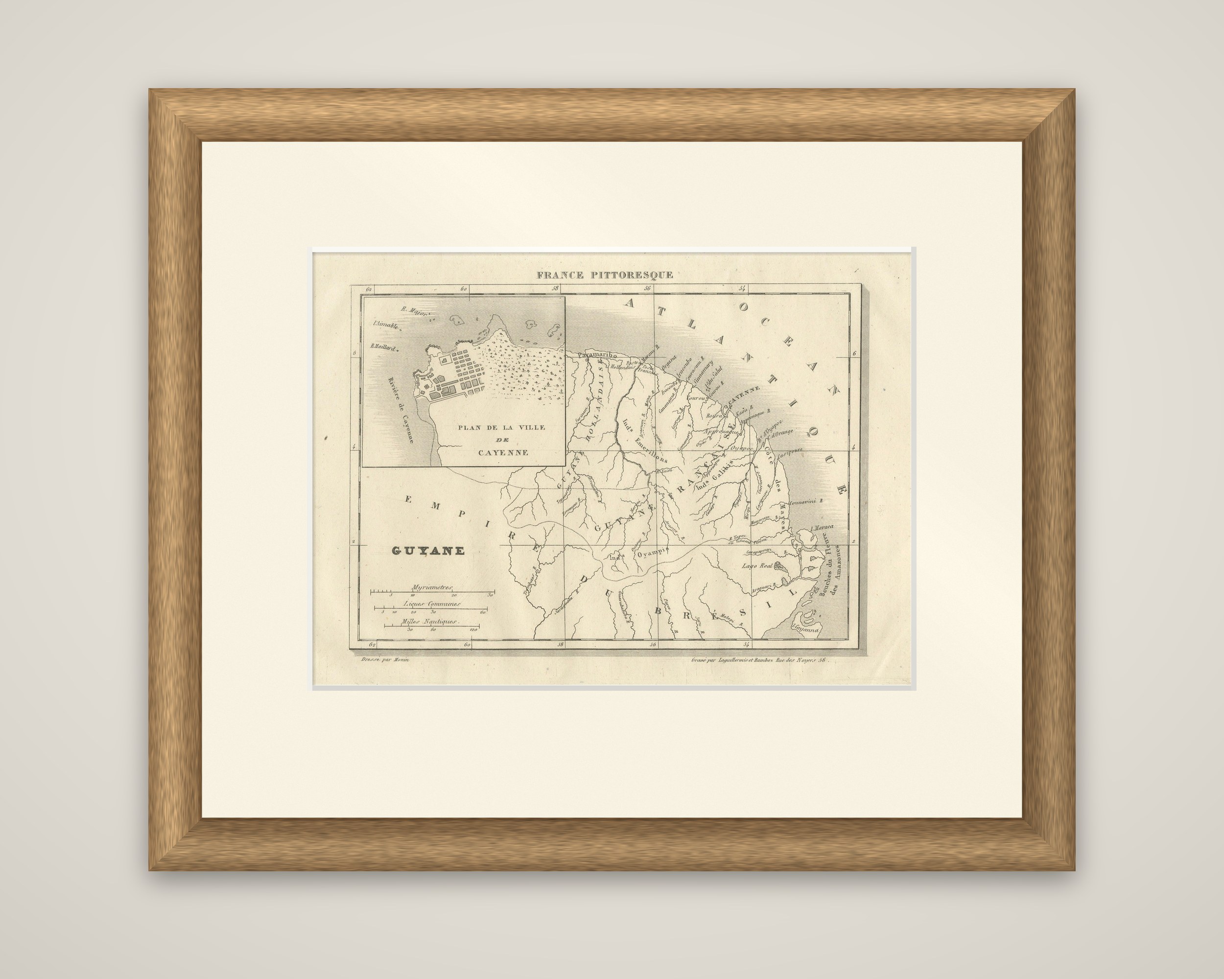
French Guiana and its neighbors on a small engraved map titled "Guyane" from the France Pittoresque series, headed "France Pittoresque" at the top of the sheet. The imprint reads "Dirigé par Monin" at the lower left and gives an engraver's address at the lower right as "Rue des Noyers 56", Paris. The map is printed in black, with light shading along the coast.

The map covers the coast of the Guianas from the Amazon mouths ("Bouches des Amazones") at the lower right to the Dutch colony in the west. "Guyane Hollandaise" lies to the west, "Guyane Française" fills the center, and "Empire du Brésil" is lettered across the south and southwest, a heading that dates the sheet to the years when Brazil was an empire. "Océan Atlantique" runs along the northern coast. Rivers are drawn in some detail, among them the Maroni, the Oyapock and the many short streams of the coast, with settlements and Cayenne marked on the shore. A framed inset at the upper left gives the "Plan de la Ville de Cayenne", showing its gridded streets and waterfront. Three scales at the lower left are given in myriameters, common leagues and nautical miles.

The sheet comes from a popular illustrated survey of France and its colonies, and shows Guiana as it was understood in the middle of the nineteenth century.

More from France

Ask about this sheet

French Guiana and Cayenne: Mid-19th Century Map from France Pittoresque Series
Ref. BG-13093-21 · € 120
We reply by email, usually within one working day.

Your favorites

Saved in this browser. Email the list to yourself to keep it on any device.

We use your email to send this list and, only if you tick the box and confirm, for occasional new arrivals. Every email has an unsubscribe link. Bartele Gallery, the Netherlands.