About this sheet
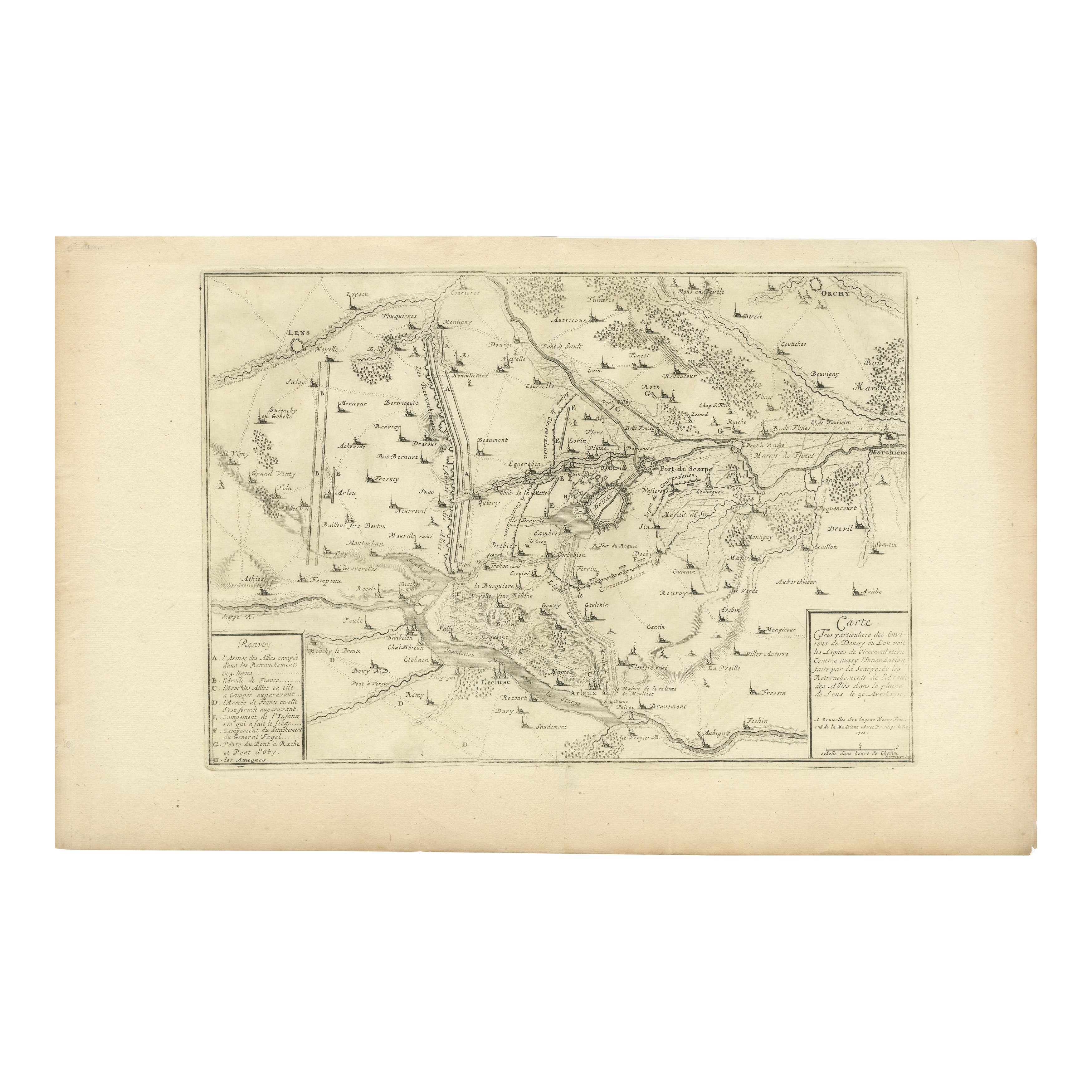
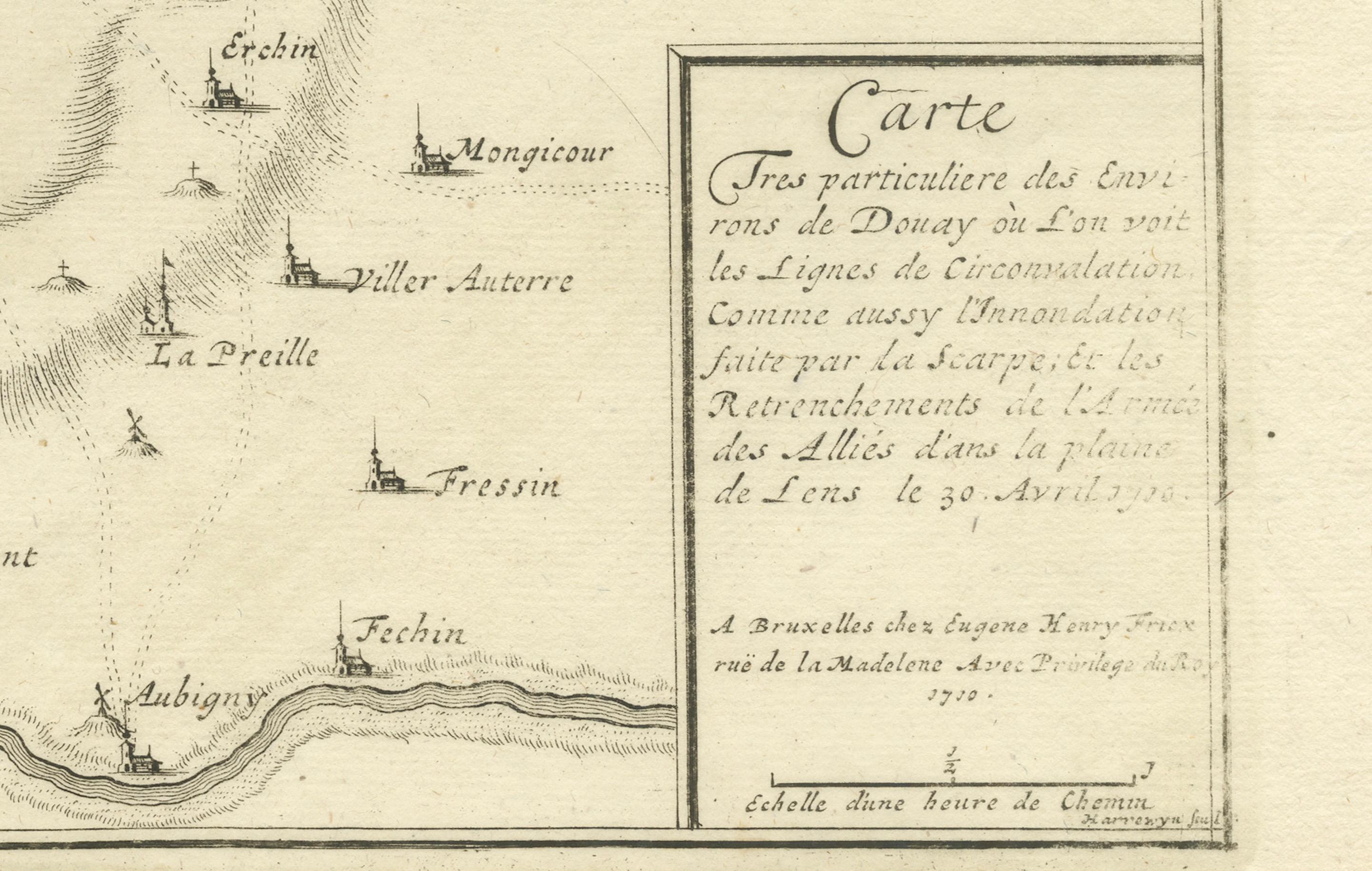
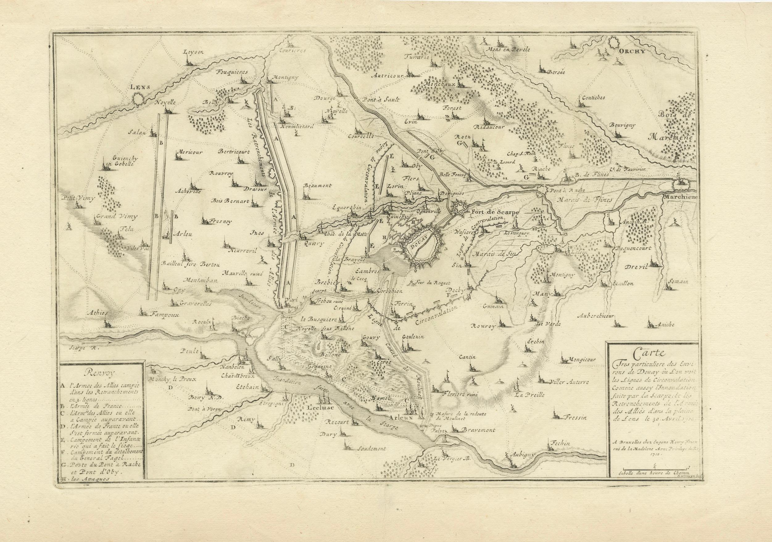
Detailed 1720s Map – Siege of Douay and Lines of Circumvallation, France
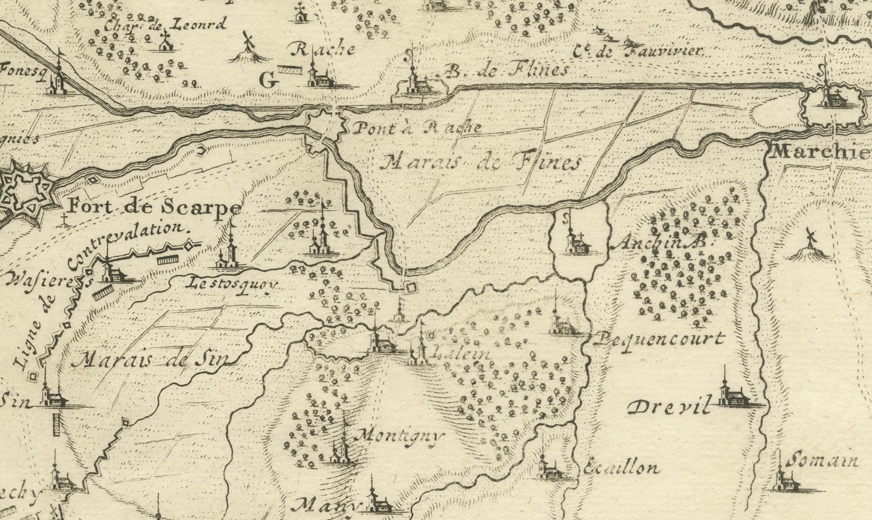
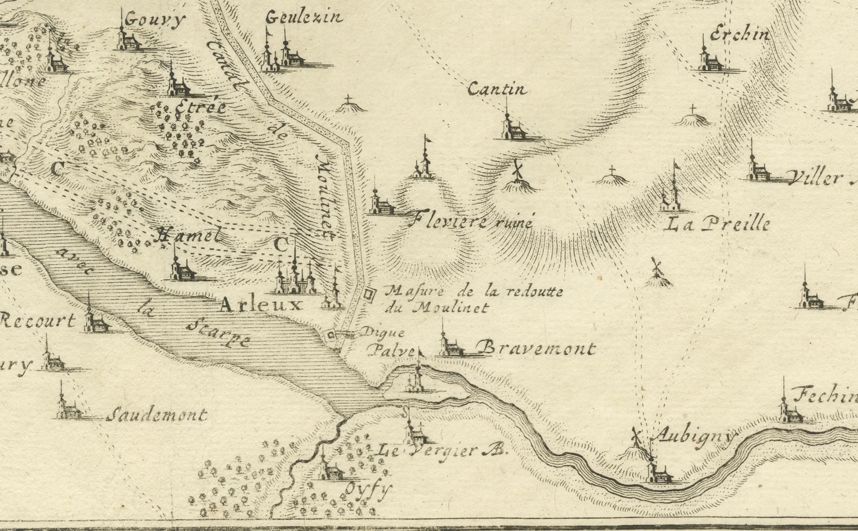
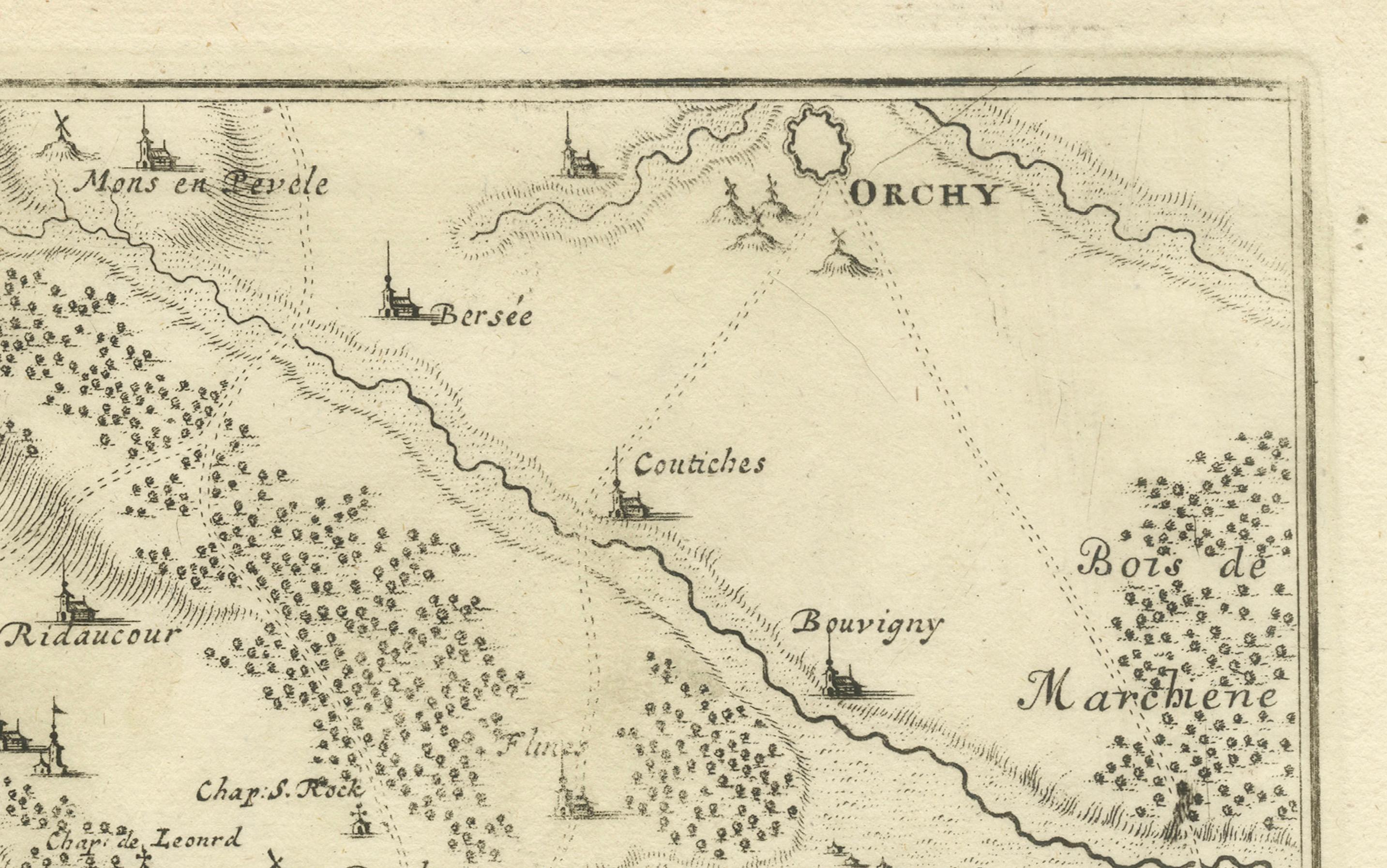
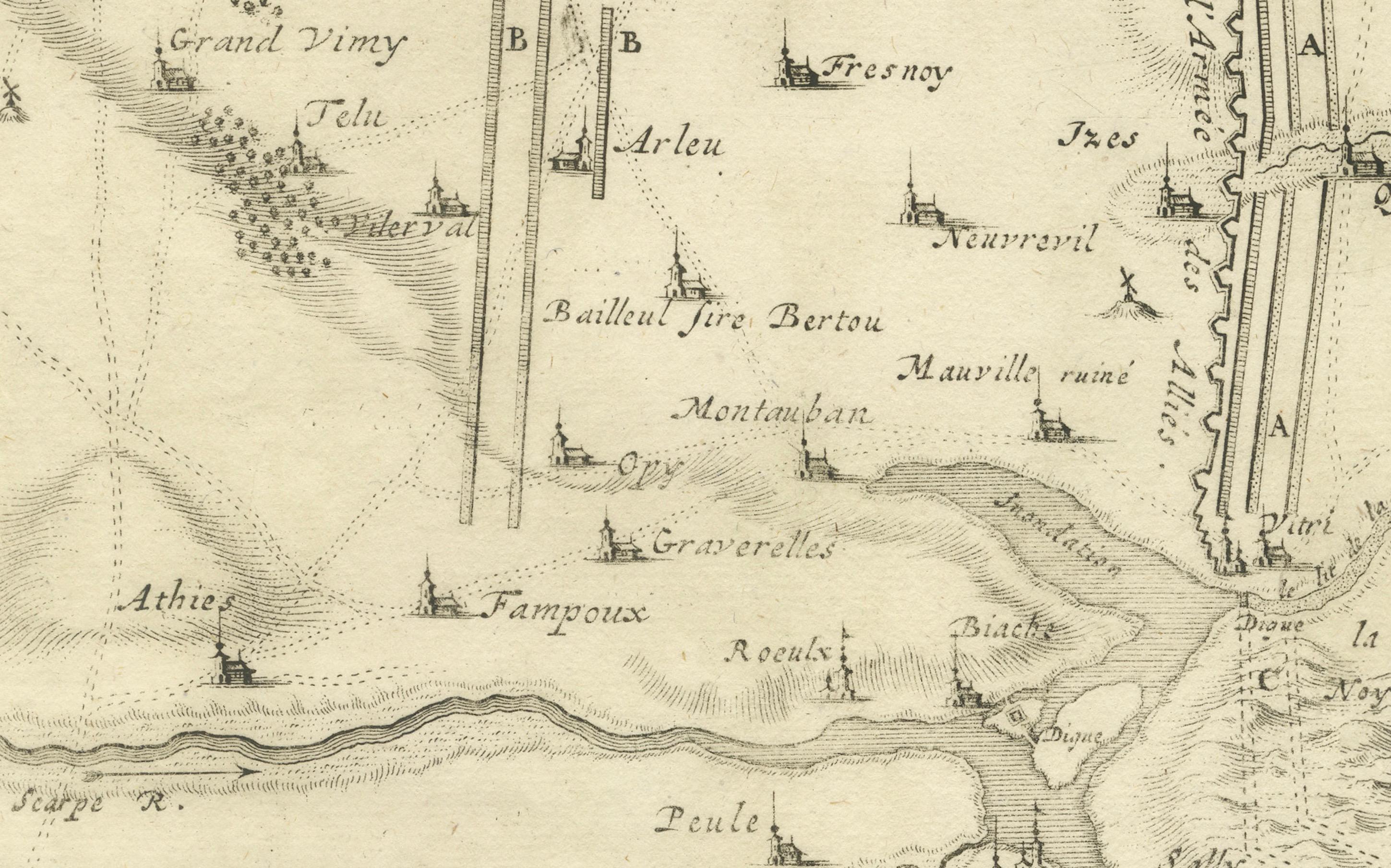
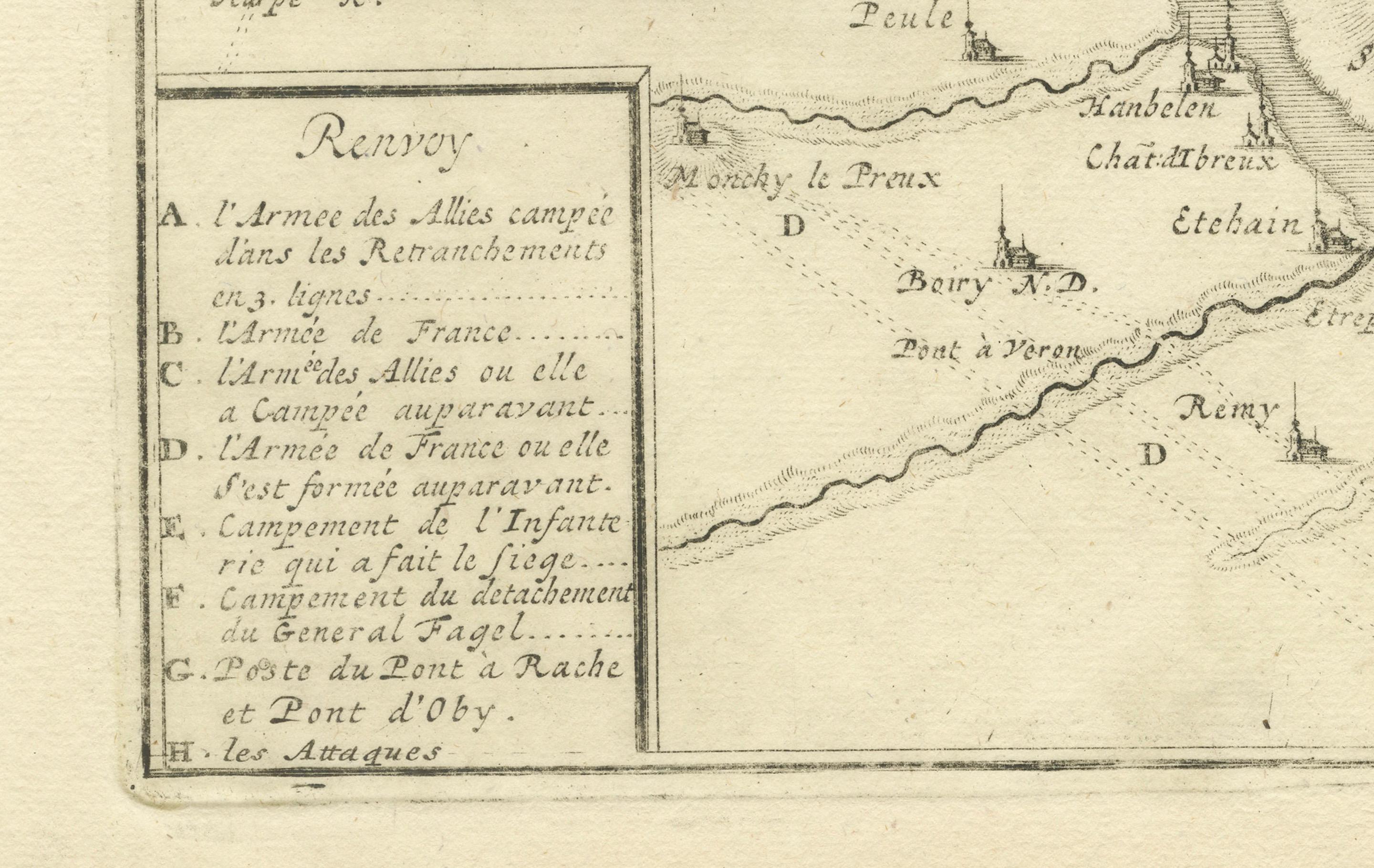
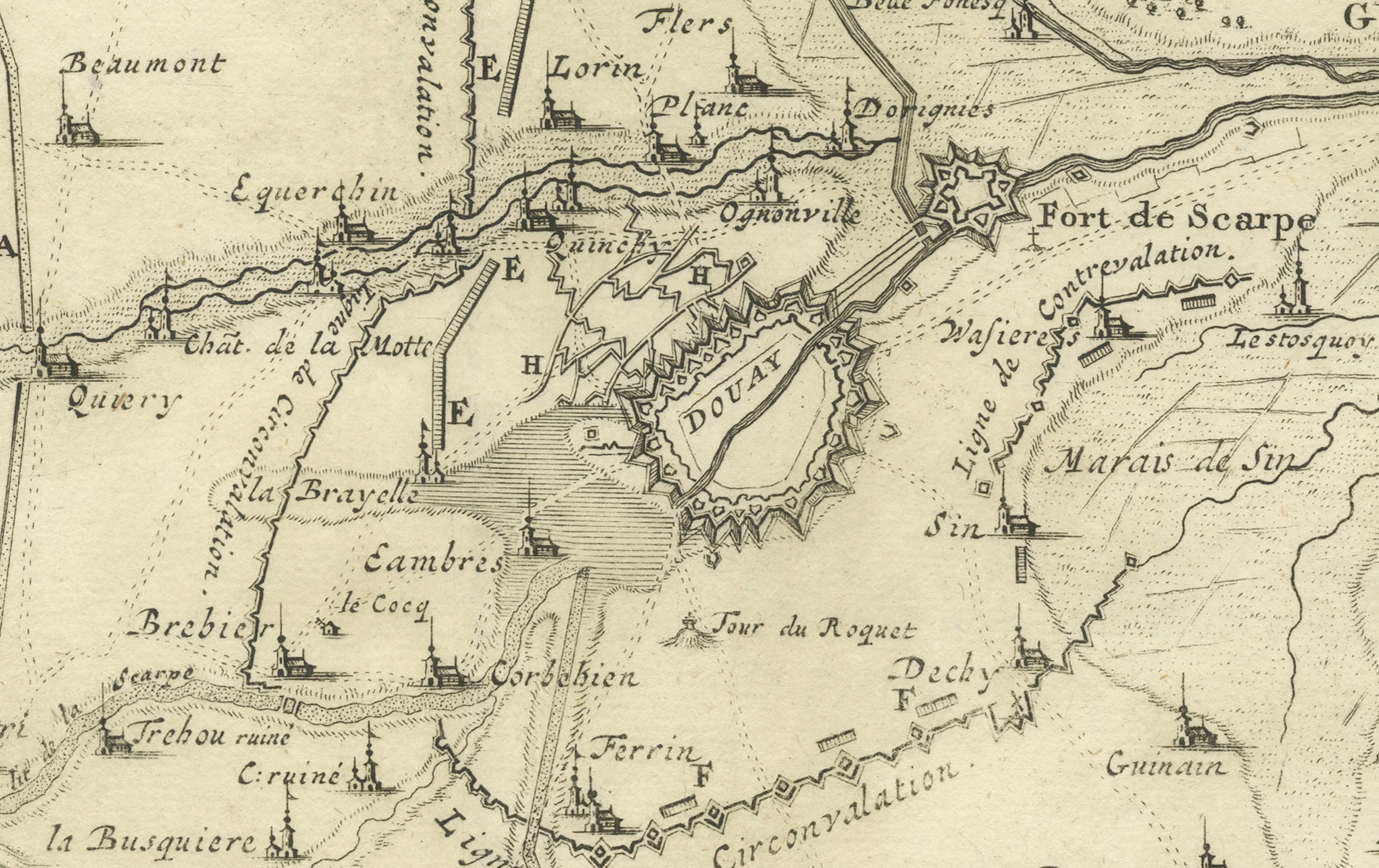
This engraved map shows the detailed fortifications and surrounding region of Douay (Douai) in northern France, titled Carte (Tres particuliere des Lignes) pour le Siege de Douay et des postes... indicating a highly detailed map of the lines during the Siege of Douai. The map depicts extensive fortifications, the fort de Scarpe, rivers, canals, nearby villages, roads, and positions of the armies and entrenchments.
The inset keys (Renvoi) list strategic features and military positions, indicating troop arrangements, camps, and batteries. The map shows a classic early 18th-century military cartography style, focusing on topography and engineered defenses. It is engraved with precision, with fine linework detailing forests, roads, and waterways, and small pictorial symbols for settlements and forts.
This engraving was likely published in the 1720s, possibly by Nicolas de Fer, Pieter Schenk, or Homann Heirs, known for publishing military maps of the War of the Spanish Succession and the War of the Quadruple Alliance. The Siege of Douai occurred several times during the early 18th century, including in 1710 and 1712, as part of major campaigns involving Marlborough and French forces under Villars.
Such maps are highly collectible for their historical significance, illustrating the complexity of siege warfare and the extensive use of lines of circumvallation and contravallation in early modern European military strategy. They are valued by collectors of French history, military cartography, and antique engravings.
Condition report:
Very good condition. Strong and clear impression. Light general age toning and minimal scattered foxing, mostly confined to margins. Original center fold as issued. Wide margins intact with very slight handling wear at edges.
Framing suggestion:
Frame with a slim black or dark wood moulding and an archival cream or off-white mat to emphasize the engraving detail. UV-protective glass is recommended to preserve the paper and ink quality.