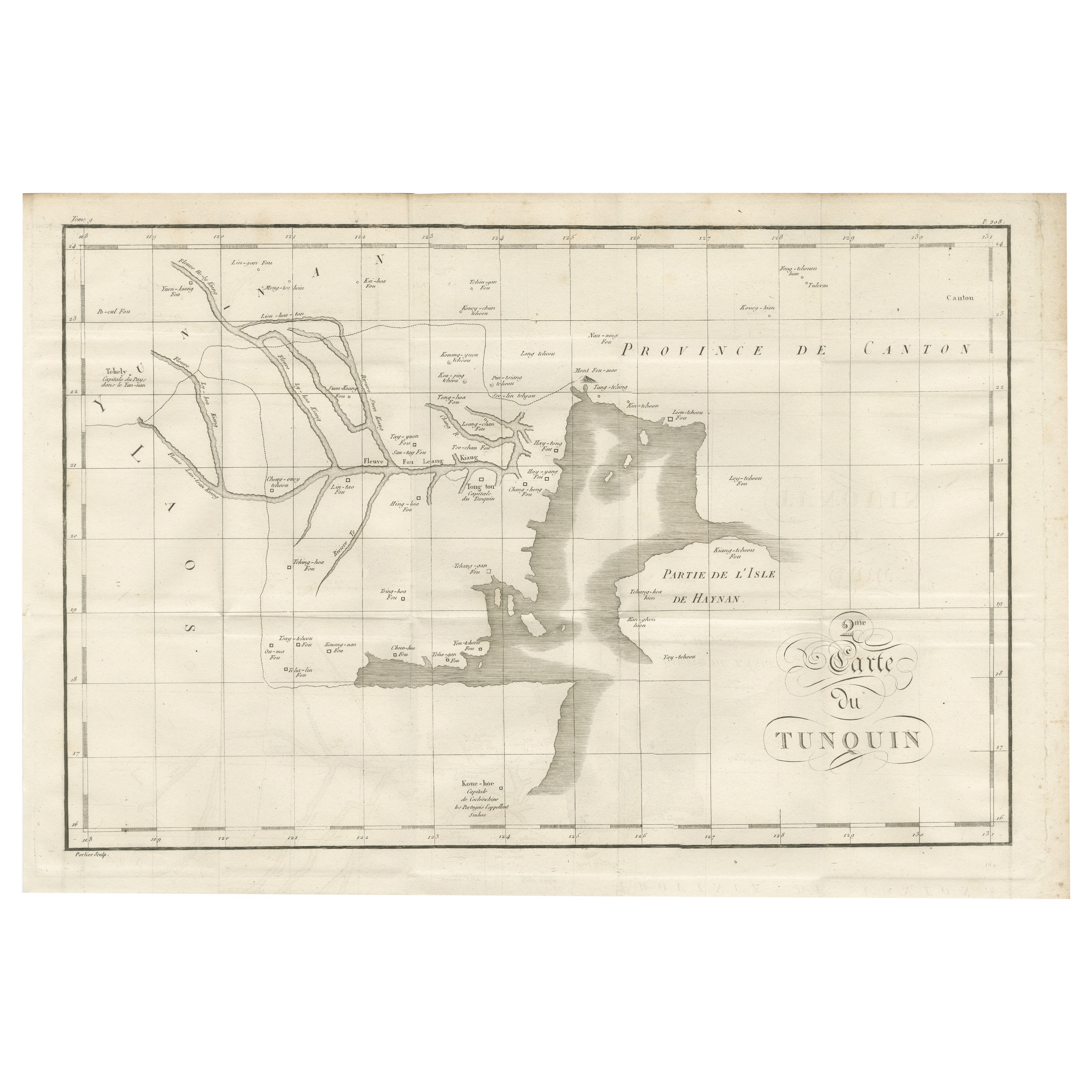
Antique Map of Tonkin and Hainan Island – 18th Century French Engraving
€ 490
Original antique · The actual sheet photographed · Certificate of authenticity on request · Sold unframed · Worldwide shipping from € 15 (rates)
Mapmaker / artist
Unattributed (French school), 18th century
Technique
Engraving
Sheet size
31 × 46 cm (12.2 × 18.1 in)
Reference
BG-14078-44
What the condition grades mean
Excellent
Bright and clean, with no faults worth mentioning.
Very good
Only light signs of age, such as faint toning.
Good
Normal signs of age for a sheet of this period: toning, some foxing, small marks or neat old repairs.
Fair
Clear faults such as staining, tears or repairs, priced to match.
Every fault we see is written in the condition note, and the whole sheet is shown uncropped in the photos.
Condition
Very good for its age, with a visible central fold as issued, minor handling marks, and some light toning to the edges. Paper remains strong, and all engraved lines are clear and sharp. No significant tears or losses.
About this sheet
Antique Map of Tonkin and Hainan Island – 18th Century French Engraving
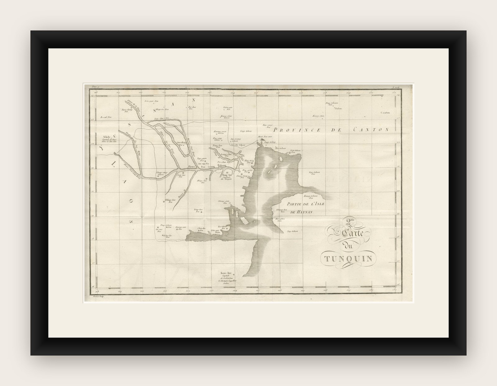
This is the “5me Carte du Tunquin,” an antique engraved map depicting the northern coastal region of modern-day Vietnam, southern China, and the island of Hainan. The map shows detailed waterways, settlements, and geographic features along the Gulf of Tonkin, including the “Province de Canton” to the north and “Partie de l’Isle de Haynan” to the east. Coastal towns, rivers, and islands are named in French transliterations of local names, such as Fleuve Ton Leuang and Koue-hoe. The chart is laid out with a fine coordinate grid, reflecting 18th-century cartographic precision and French mapping conventions.
Produced during a period of heightened European interest in Southeast Asia, this map would have been part of a larger geographic and missionary record, possibly associated with Jesuit explorations and reporting from the region. Such maps were important in disseminating geographic knowledge to European audiences and documenting key coastal and inland trade routes. The style, typography, and engraving technique suggest mid-to-late 18th century origins, with clean hachuring to indicate relief and stippling for coastal waters.
Framing tips: This map would look excellent framed in a dark wooden or black frame to contrast with the pale paper, with a cream or light ivory mount to highlight the engraved details. A UV-protective glass is recommended to preserve the paper from further toning.