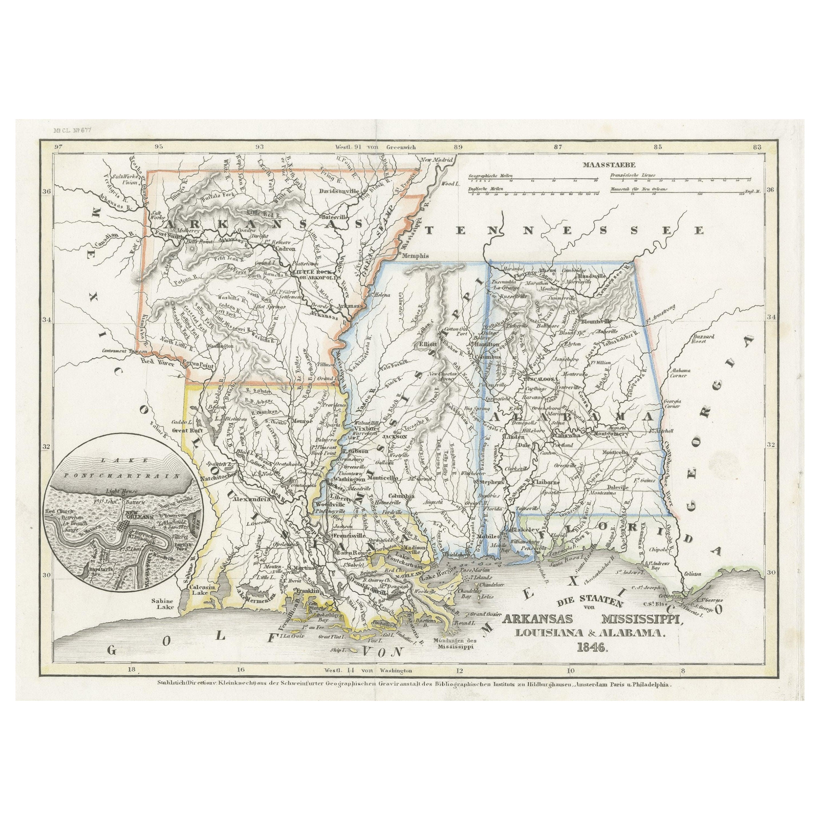
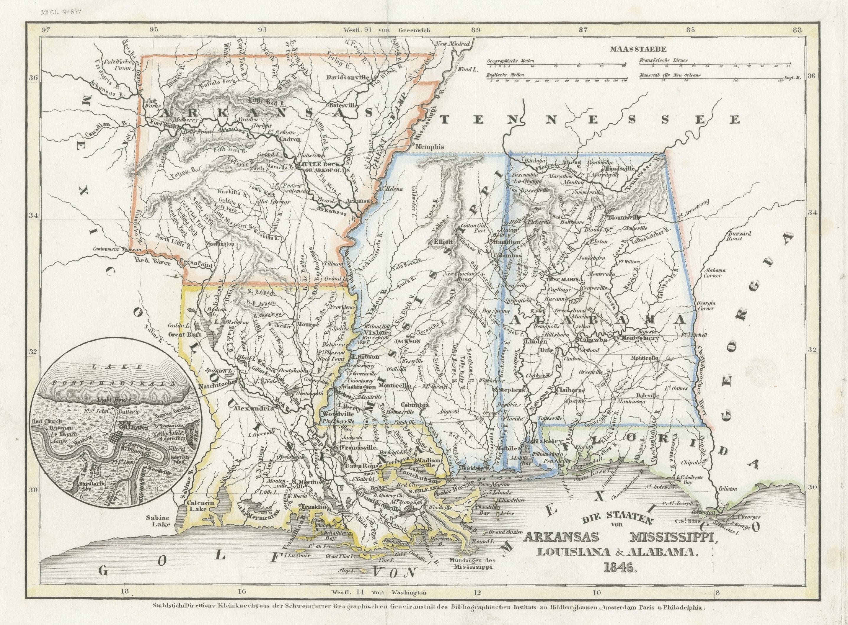
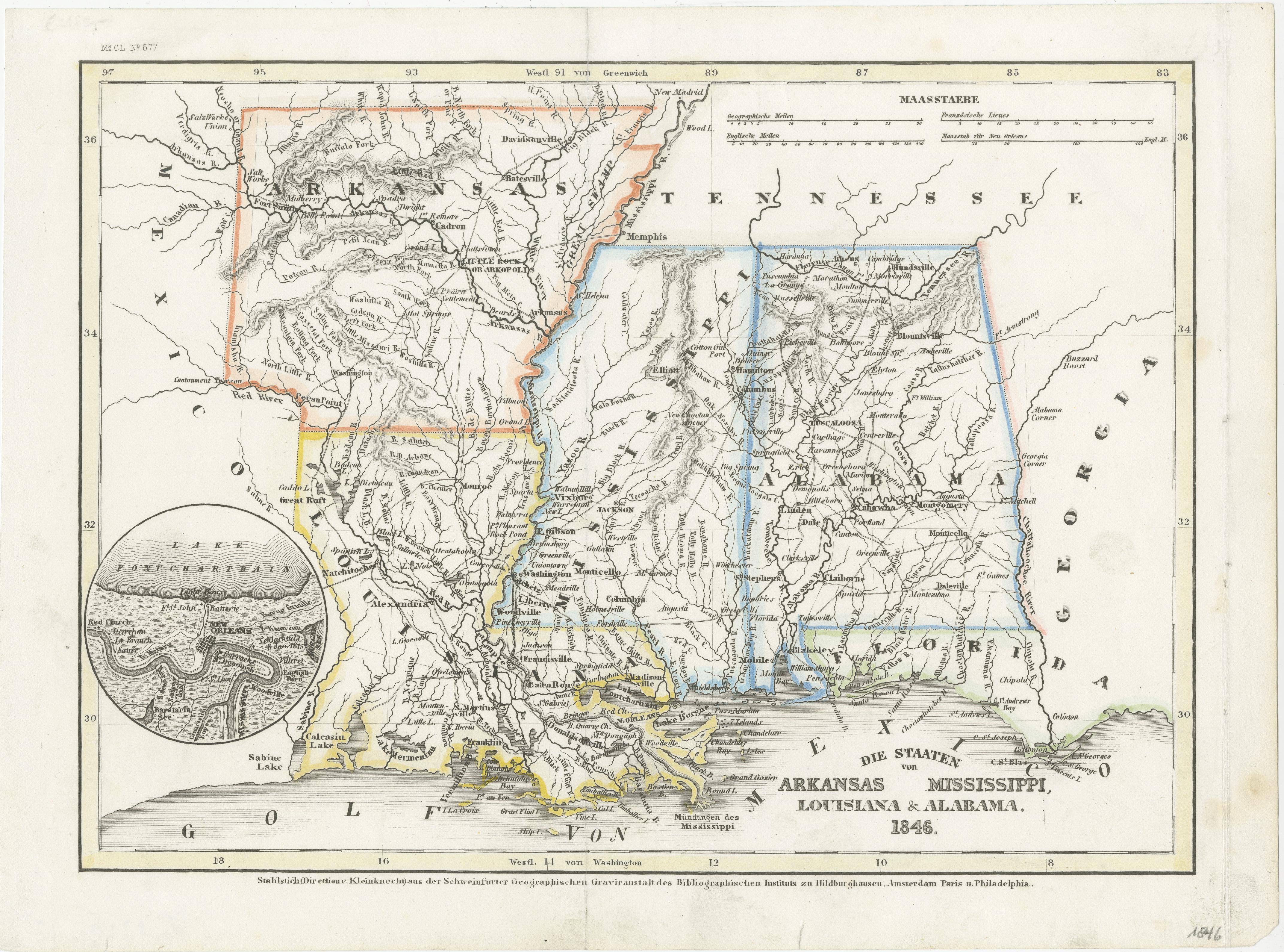
Antique Map of the Southern United States with Inset Map of New Orleans
€ 140
One of a kind: this is the sheet in the photographs. Ships from Langweer, the Netherlands.
Sheet size
23 × 31 cm (9.1 × 12.2 in)
Condition
Good
Reference
BG-13191-12
Condition
Wear consistent with age and use. General age-related toning. Some wear and soiling. Few tiny tears in margins. Original folding line, with splits. Blank verso. Please study image carefully.
About this sheet
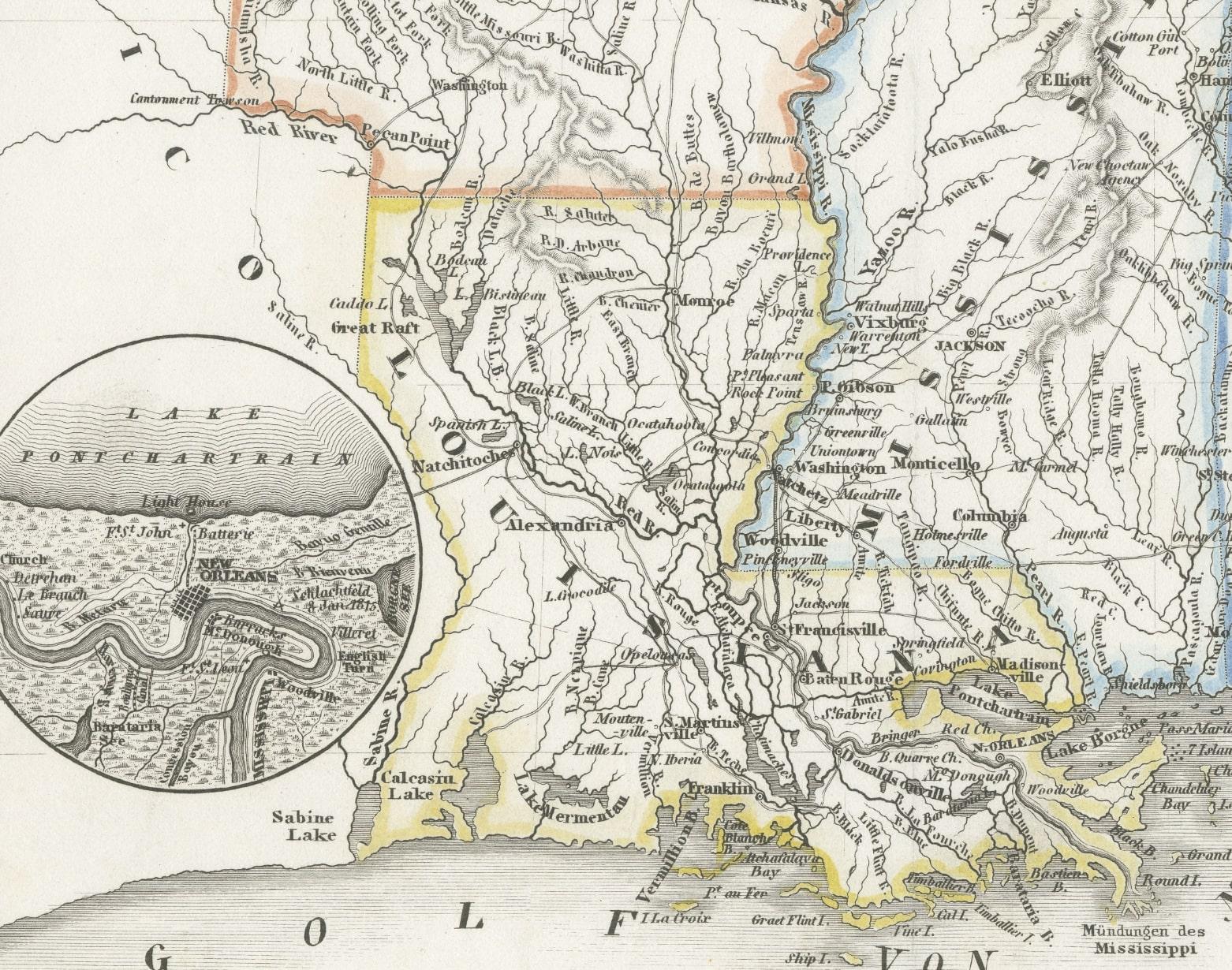
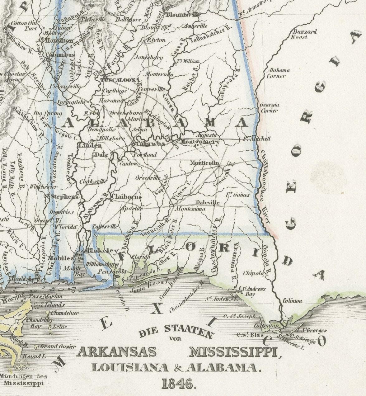
Antique map titled 'Die Staaten von Arkansas Mississippi, Louisiana & Alabama'. Detailed map of the region, which includes the Florida Panhandle. Shows many roads, rivers, forts, etc. Inset of New Oreleans vicinity. Published by J. Meyer, circa 1850.
Joseph Meyer (1796-1856) was a German publisher who released Meyers Konversations-Lexikon, a German-language encyclopedia in print from 1839 to 1984. Meyer was born in Gotha and educated as a merchant in Frankfurt, an important city in the book trade. He traveled in London in 1816 and was back in German in 1820, where he began to invest in textiles and railways. He opened his publishing operation, Bibliographisches Institut, in 1826. His publications each had a serial number, a new innovation at the time. He was best known for his atlases and the Meyers Universum (1833-1861), which featured steel-engravings of the world. The Universum stretched to 17 volumes in 12 languages and was subscribed to by 80,000 people all over Europe. Thanks to his publishing success, Meyer moved the Institut from Gotha to Hildburghausen in 1828.