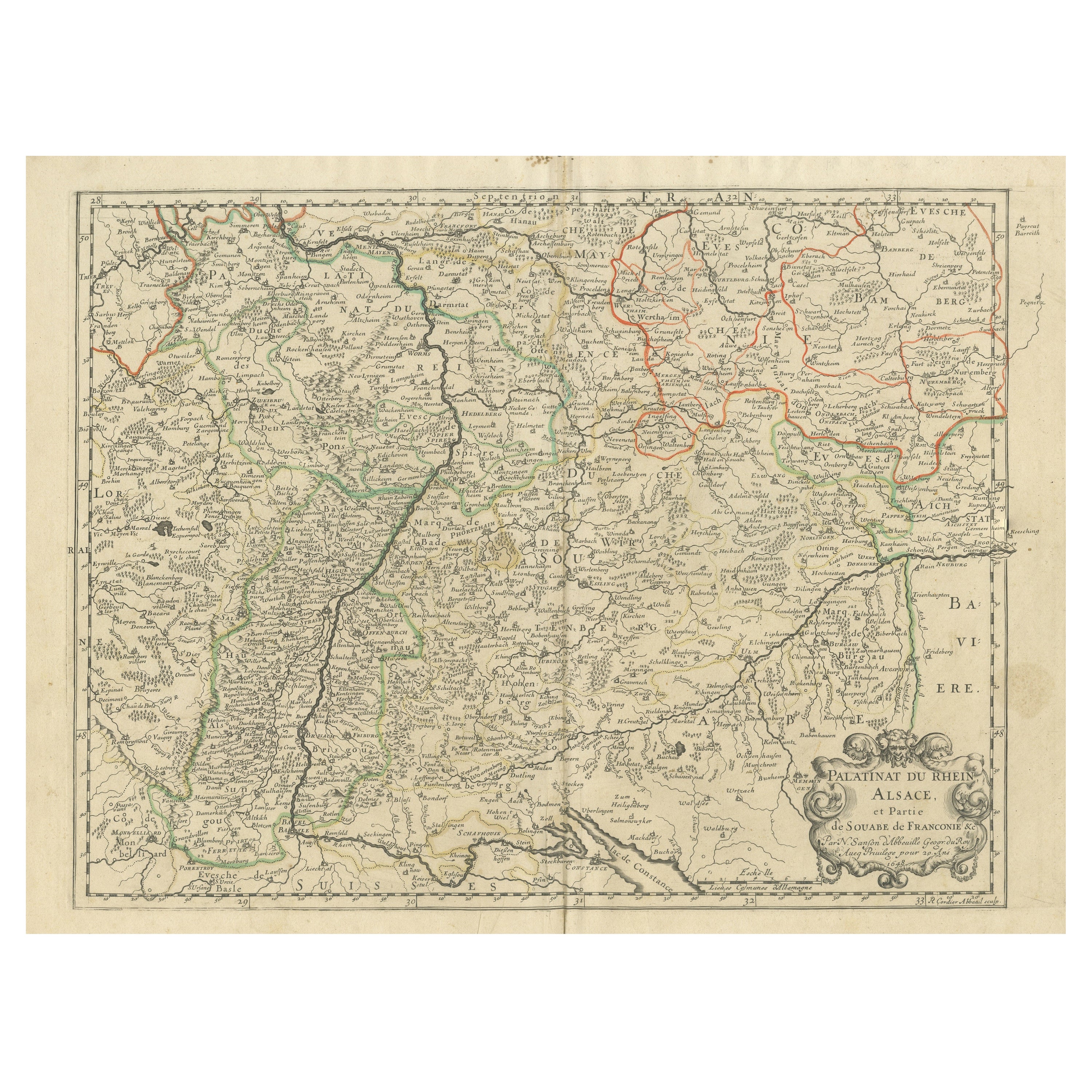

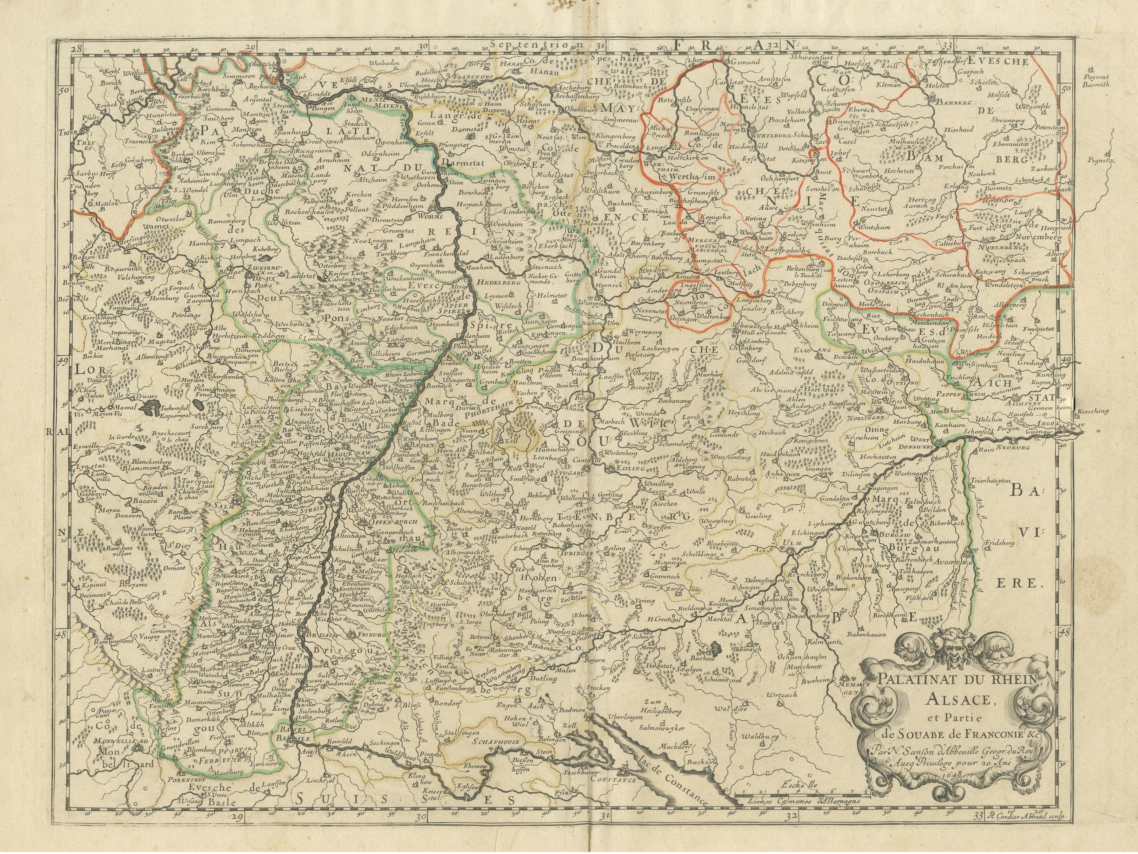
Antique Map of the Rhineland and Alsace Region with Original Hand Coloring
€ 310
One of a kind: this is the sheet in the photographs. Ships from Langweer, the Netherlands.
Sheet size
43 × 57 cm (16.9 × 22.4 in)
Condition
Fair
Reference
BG-13397-21
Condition
Original folding line. Original/contemporary hand coloring. Shows some wear and soiling. Spots in upper margin, also a few very tiny holes. Blank verso. Please study image carefully.
About this sheet
Antique map titled 'Palitinat du Rhein, Alsace, et partie de Souabe de Franconie (..)'. Double-page engraved map of the Rhineland and Alsace with original/contemporary hand coloring. Published by N. Sanson, circa 1648.
Nicolas Sanson (1600-1667) sometimes called Nicolas Sanson d'Abbeville or Sanson d'Abbeville, was the most important French cartographer of the 17th century. Tooley called Sanson "the founder of the French school of cartography." He began making maps in the late 1620s, and in the 1630s he was working with Melchior Tavernier. Later, Sanson worked in concert with the print publisher Pierre Mariette, with whom he published his great atlas: Cartes générales de toutes les parties du monde (1658). After Sanson's death in 1667, his son Guillaume carried on the business in partnership with Alexis Hubert Jaillot. Guillaume established himself as a very important French mapmaker in his own right.