Maps & PrintsBartele Gallery · Langweer
Home / Antique Maps / Europe / Western Europe / France

France

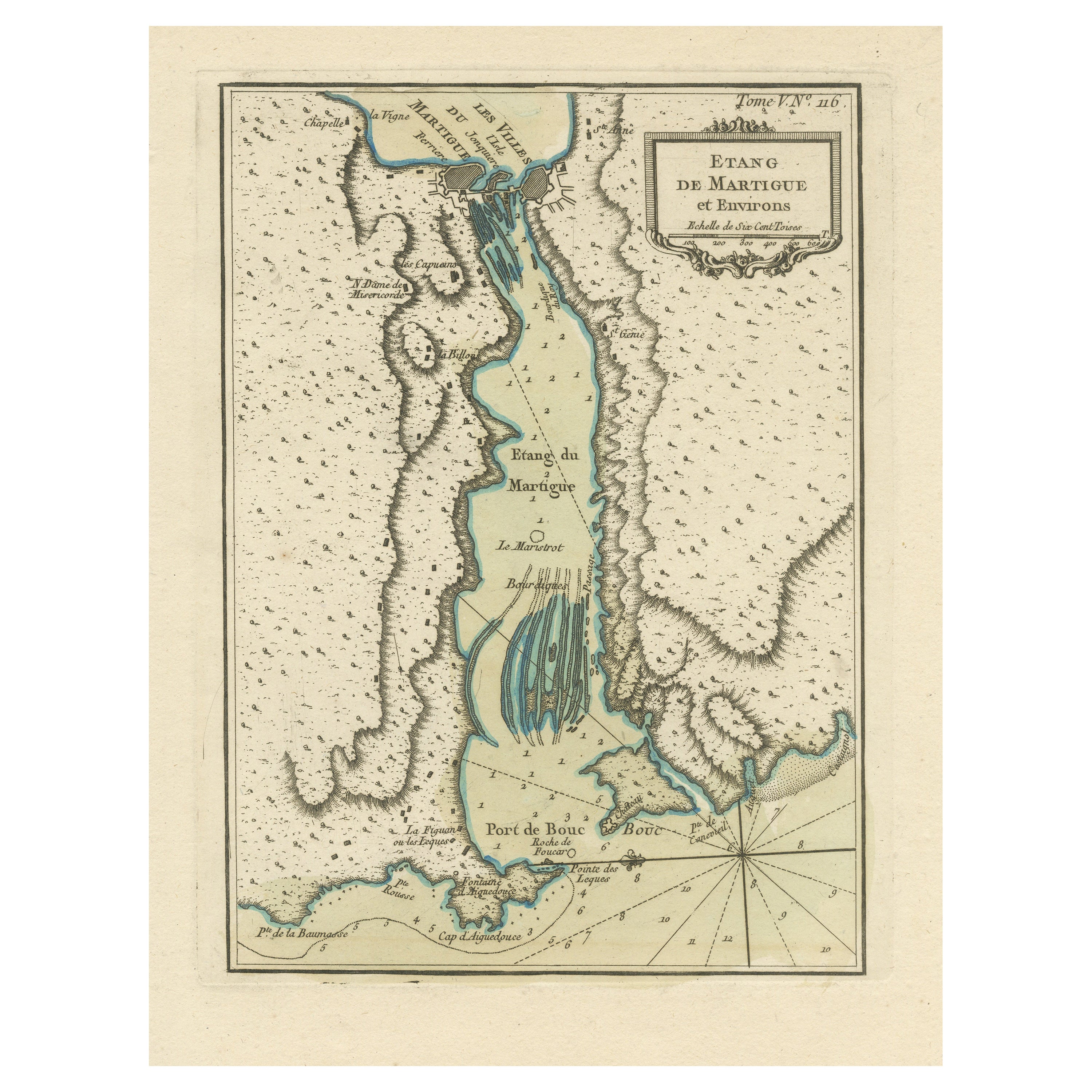
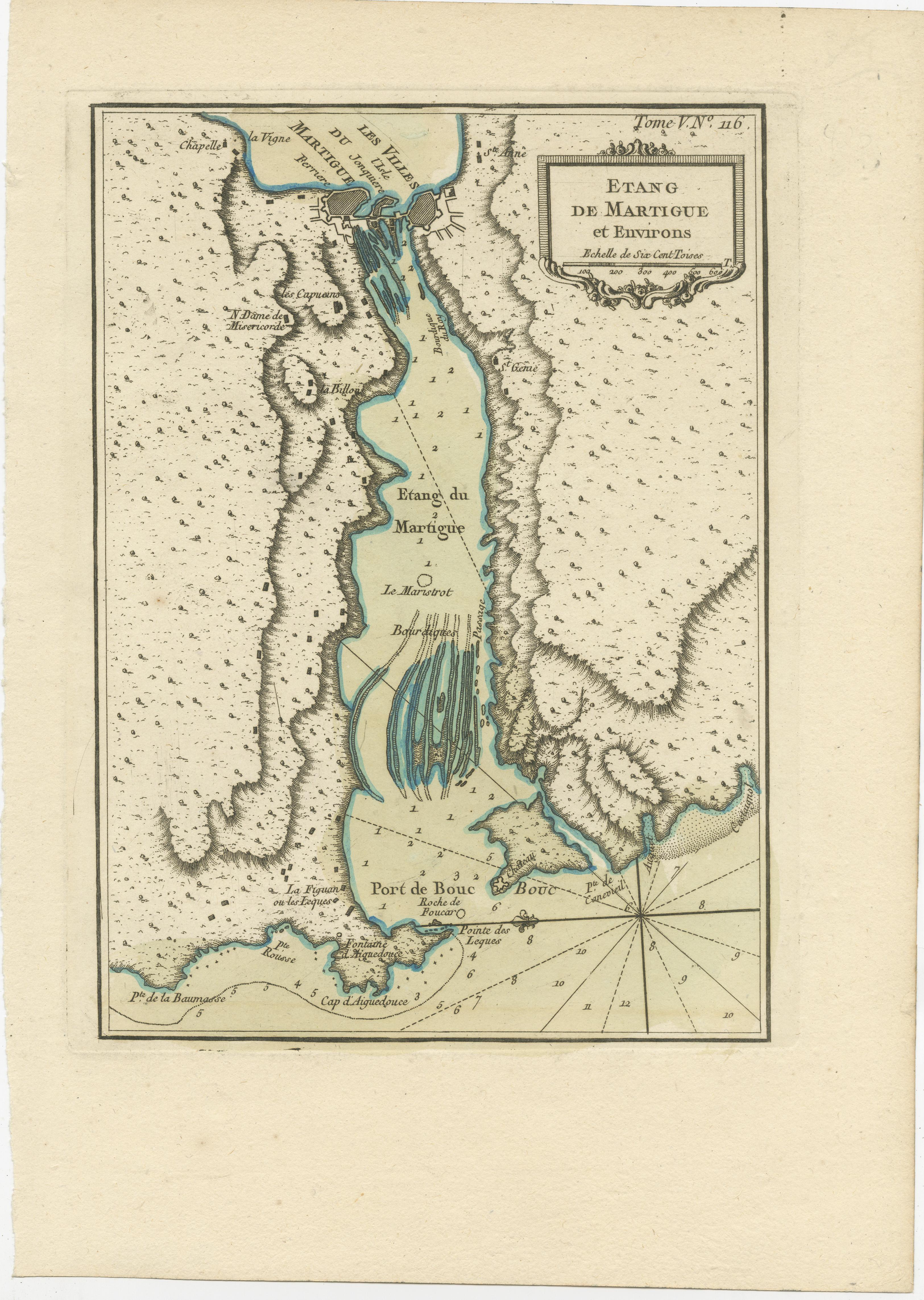
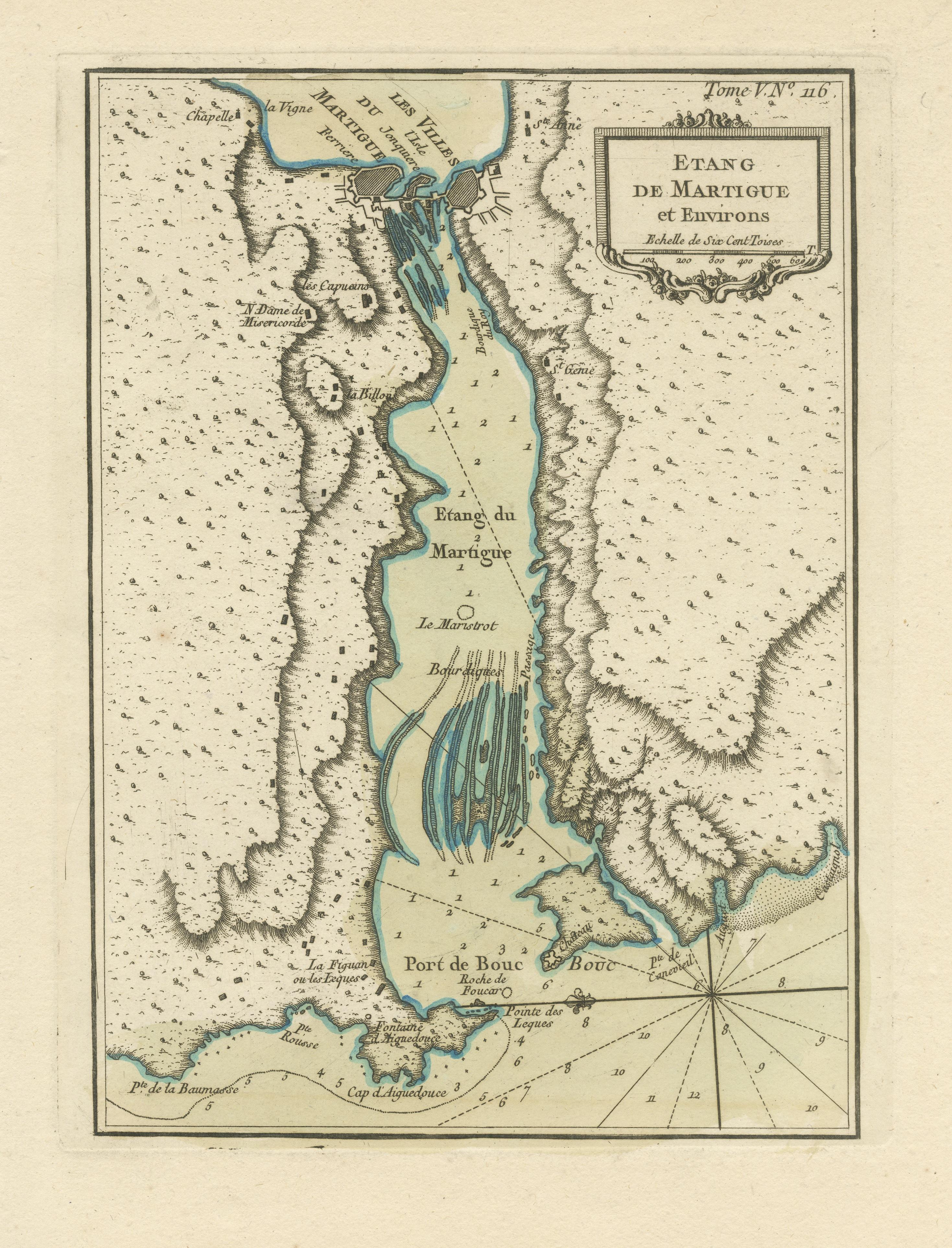
Antique Map of the Region of Martigues, France

€ 340

One of a kind: this is the sheet in the photographs. Ships from Langweer, the Netherlands.

Sheet size
31.7 × 22.8 cm (12.5 × 9.0 in)
Condition
Good
Reference
BG-13397-6

Condition

General age-related toning. Minor wear and soiling, blank verso. Please study image carefully.

About this sheet

This antique map, titled "Etang de Martigue et Environs," offers a detailed view of the Martigues region in France. It is a valuable historical document that provides insights into the geographical features and surroundings of Martigues during the 18th century. The map is part of "Le Petit Atlas Maritime," a work by the renowned cartographer Jacques-Nicolas Bellin, published in 1764. It serves as a window into the past, offering a glimpse of the coastal landscape and geographical knowledge of the Martigues area during that era.

Bellin was an important maker of charts for the French Depot de la Marine. He was born in Paris in 1703 and educated as an engineer. He produced many important charts and published them individually and in compilations. The Neptune Francais was published in 1753 and the Hydrographie Francaise in 1756. His largest and most comprehensive work is the Petit Atlas Maritime.

More from France

Ask about this sheet

Antique Map of the Region of Martigues, France
Ref. BG-13397-6 · € 340
We reply by email, usually within one working day.




