About this sheet
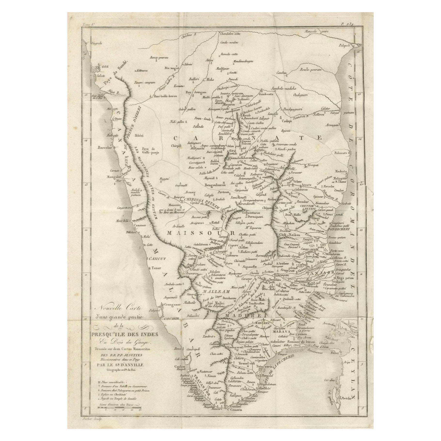
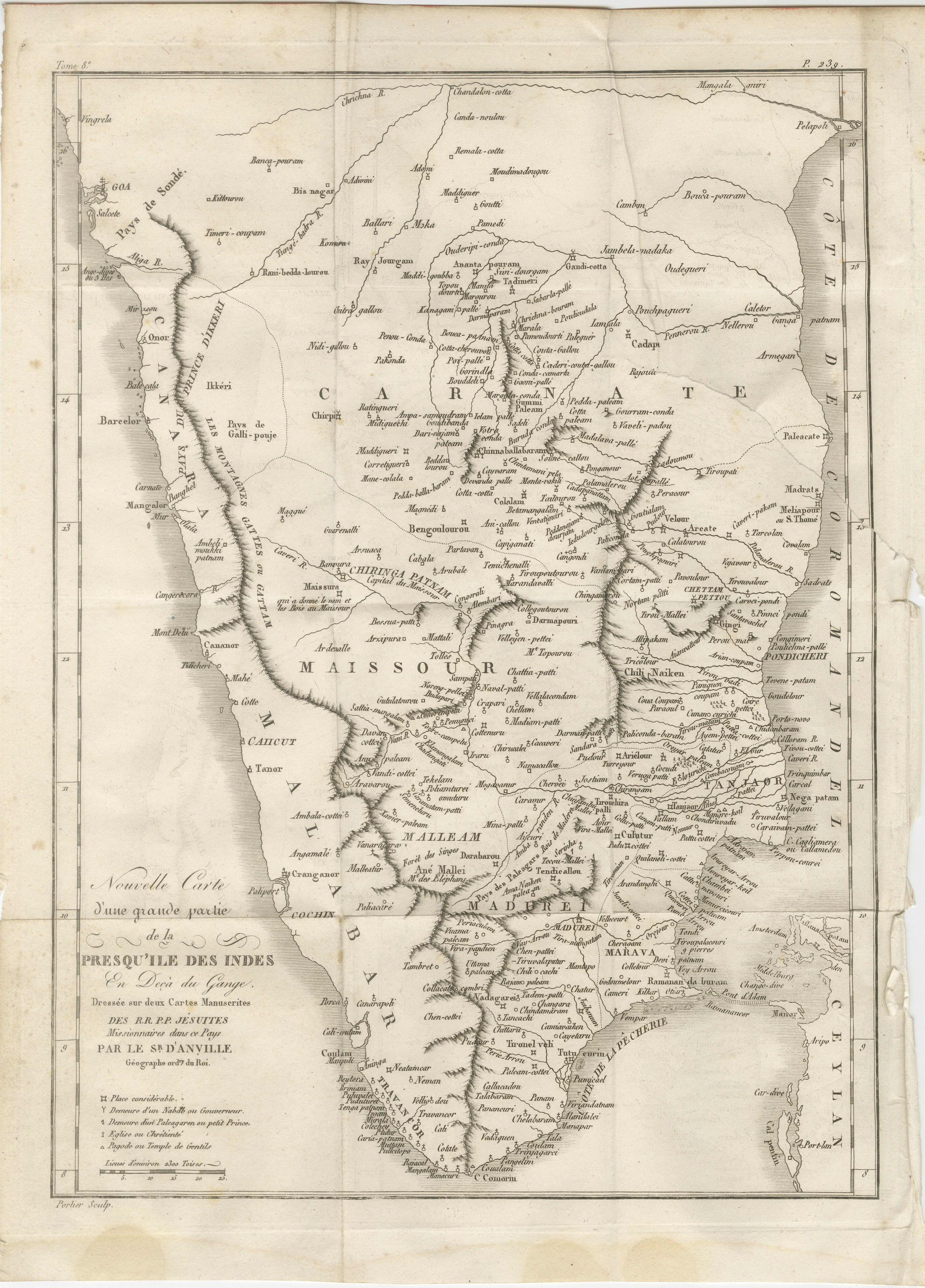
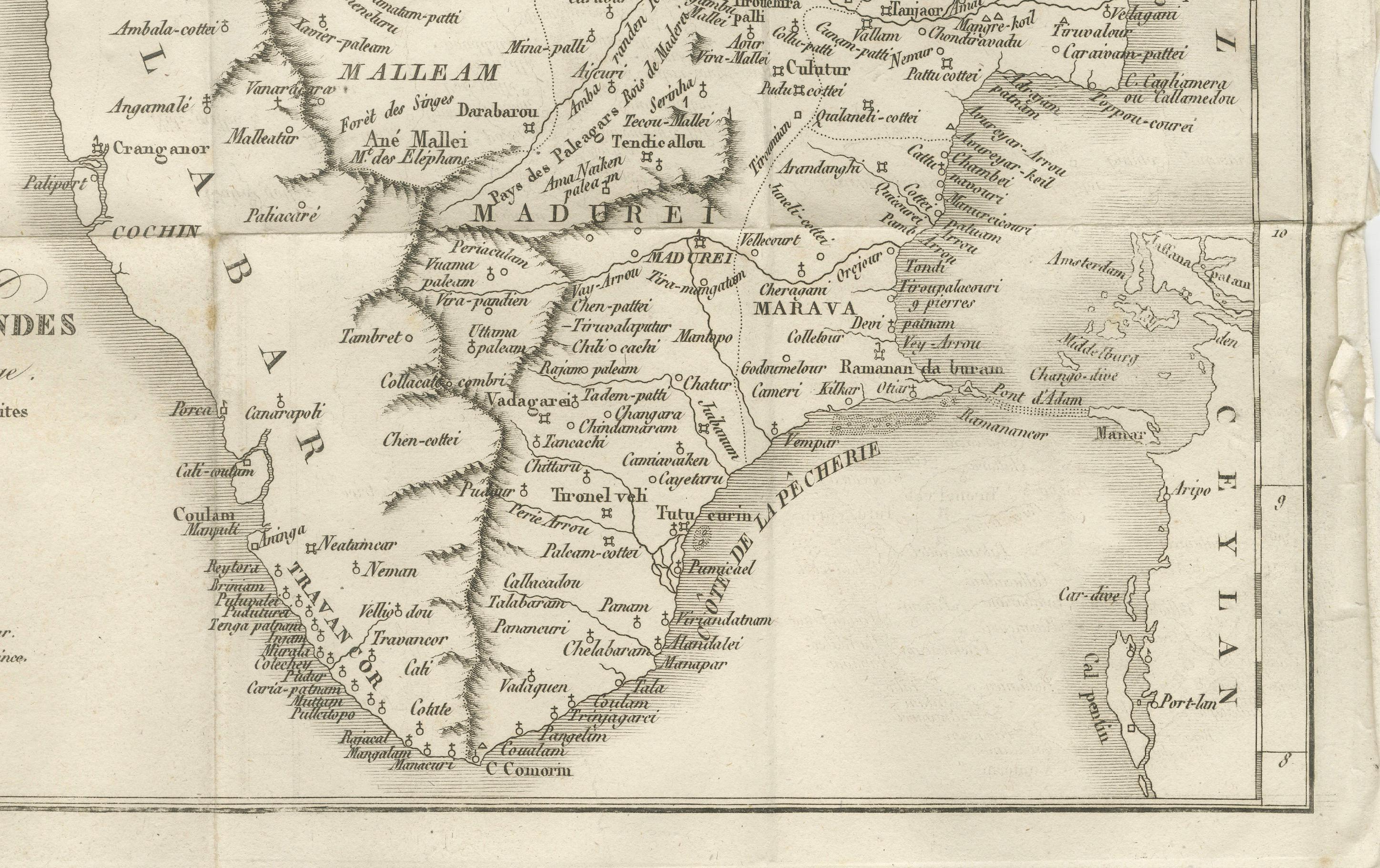
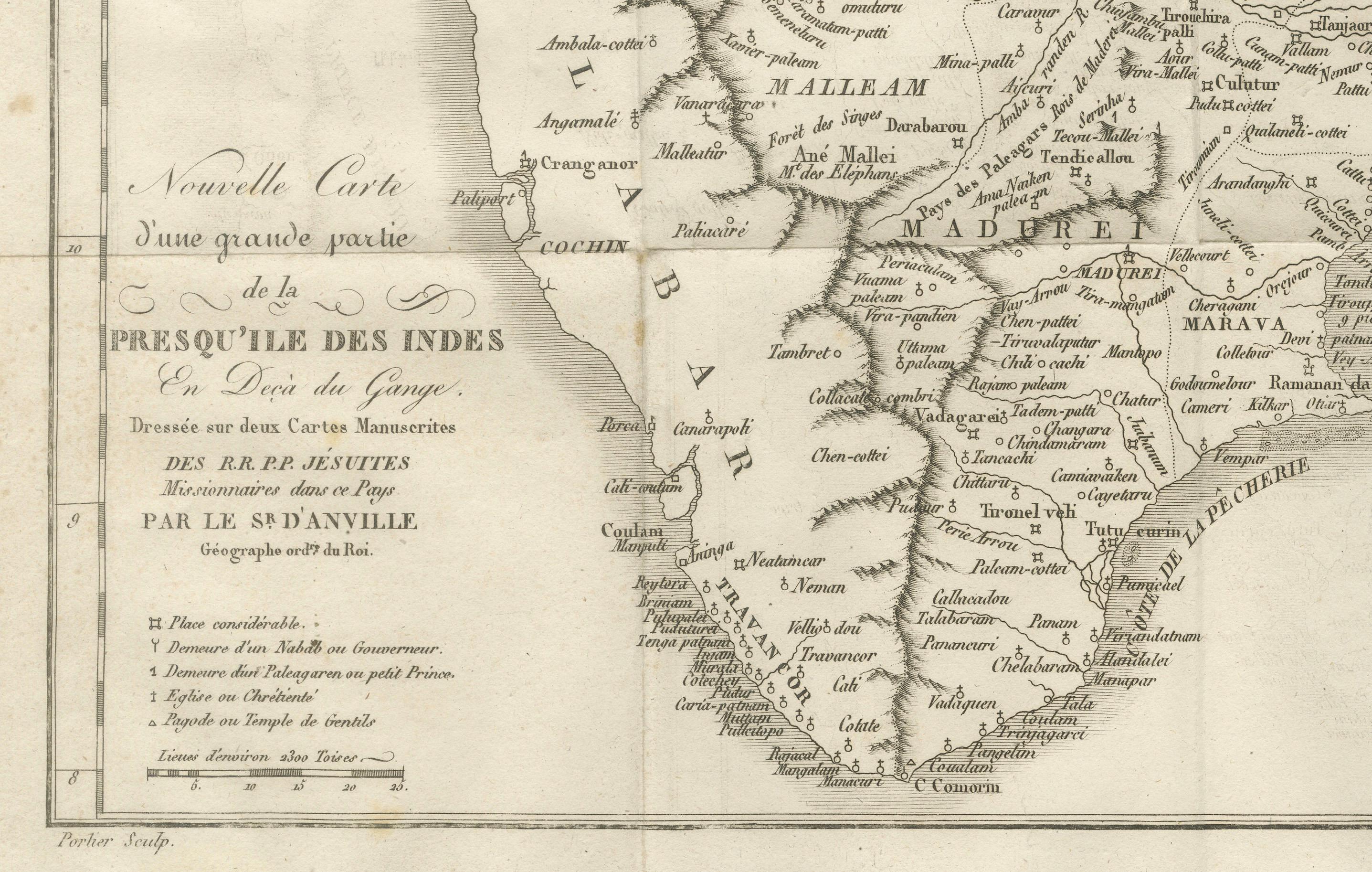
This finely detailed antique map presents the southern portion of India, engraved in the 18th century by the renowned French cartographer Jean-Baptiste Bourguignon d’Anville.
It depicts the region south of the Krishna River, covering the territories of the Carnatic, Mysore (Maissour), Malabar, and Coromandel coasts, extending down to the Cape Comorin (modern Kanyakumari) at the southern tip. The map includes the territories of major kingdoms and states of the period, such as the Kingdom of Mysore, the Carnatic region under various rulers, and the coastal trading hubs influenced by European powers. Place names are given in their French transliterations of local names, reflecting geographical and political knowledge from missionary and colonial sources of the time.
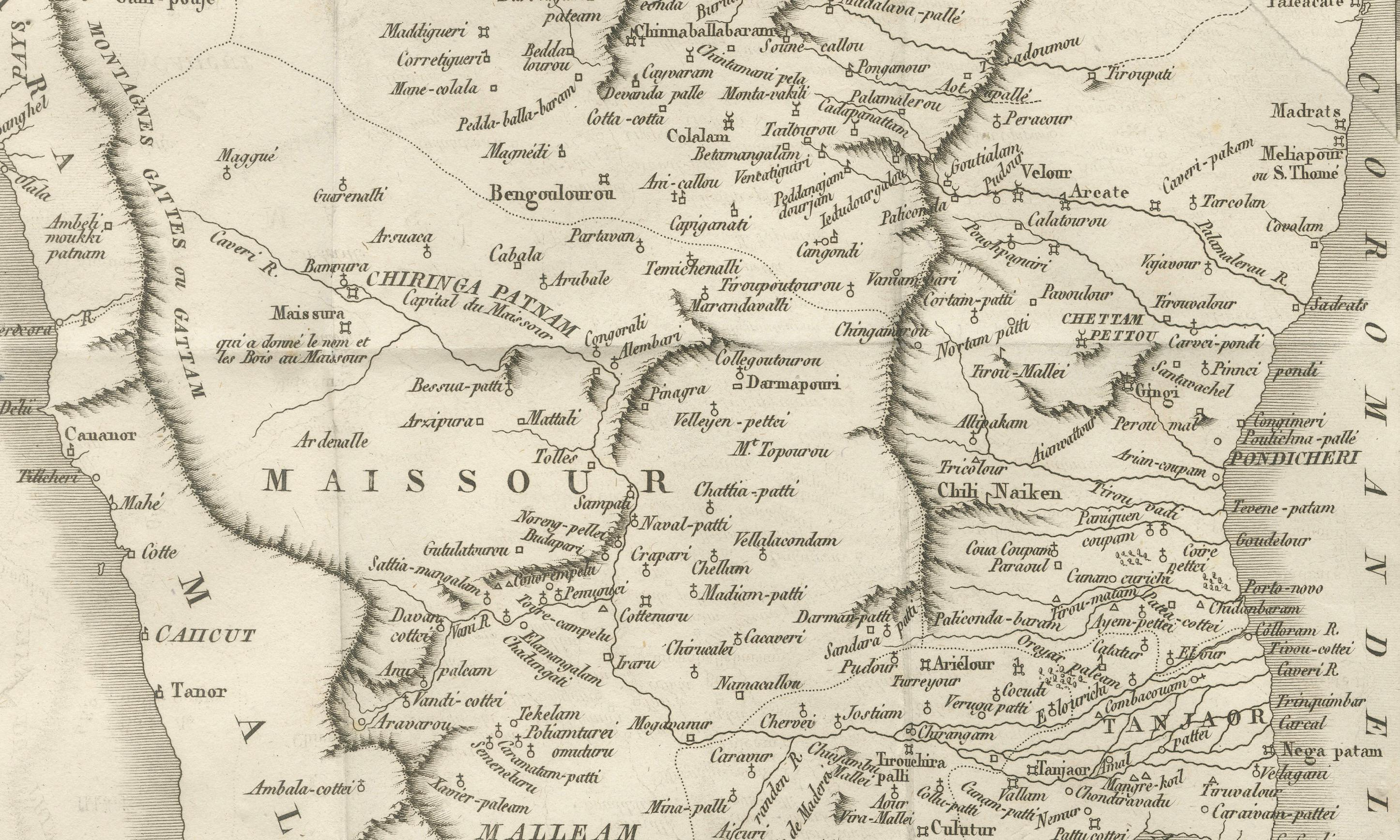
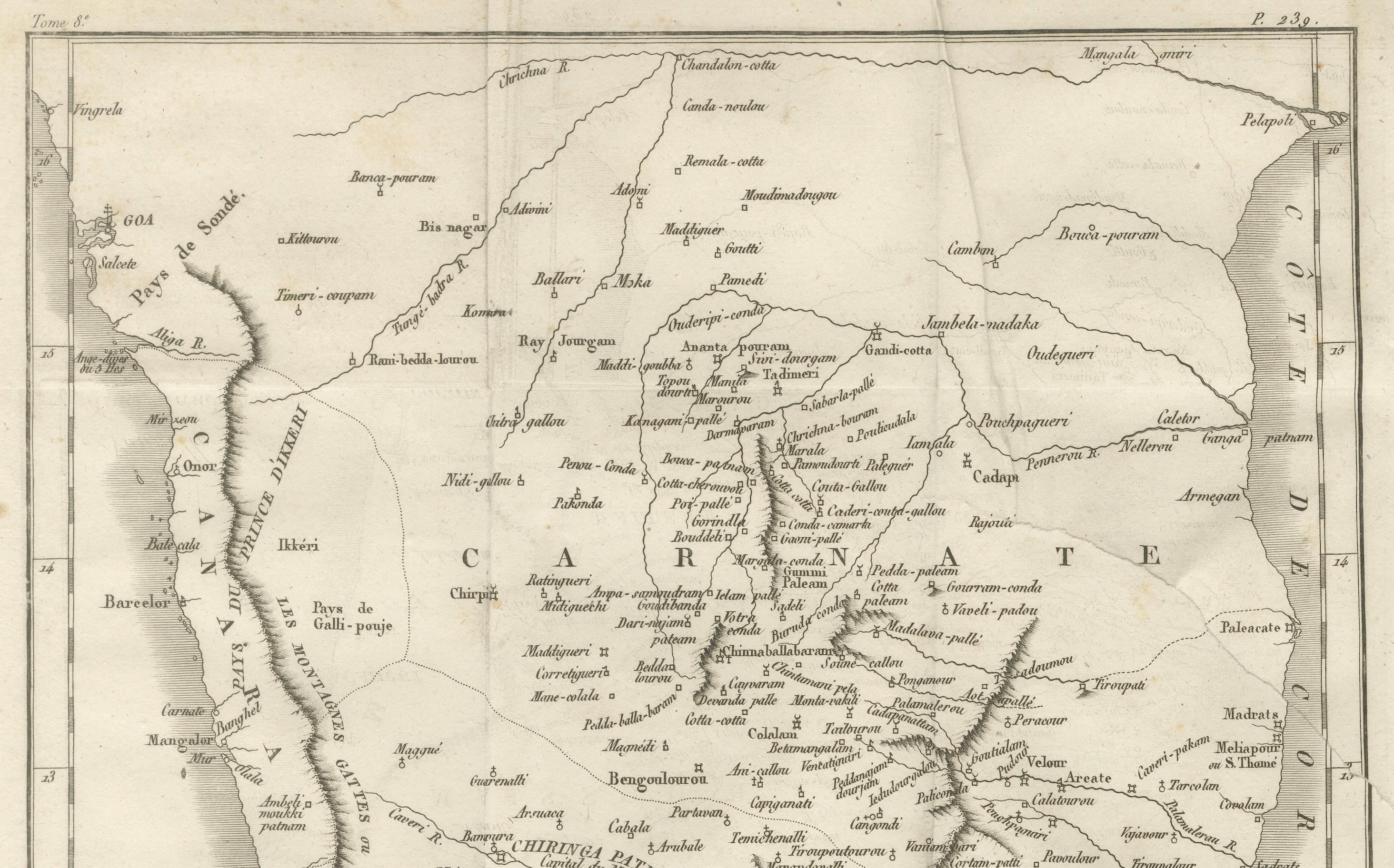
Prominently featured are key cities such as Goa, Mangalore, Calicut, Cochin, Madras (Chennai), Pondicherry, and Trichinopoly (Tiruchirappalli), along with smaller settlements, river systems, and coastal features. The Coromandel and Malabar coasts are clearly distinguished, showing their importance in 18th-century trade and politics. The engraving reflects the French interest in the region, both through their colonial settlement in Pondicherry and through the influence of Jesuit missionaries, whose manuscript maps informed this work.
D’Anville’s cartography was celebrated for its accuracy, rejecting speculative geography in favor of data from travelers, missionaries, and official surveys. This map is an excellent example of his precise and uncluttered style, with finely engraved lines and subtle hachuring to indicate relief. It not only served as a geographical reference but also as a visual record of European engagement with the Indian subcontinent during a time of significant political change and conflict.
Condition: Good for its age, with light toning and some minor spotting. Vertical and horizontal folds as issued. Slight edge wear and small marginal tears not affecting the engraved area. Strong, clear impression on sturdy paper.
Framing tips: This map would display beautifully in a dark wood or black frame with a cream or light tan archival mat, which would enhance its historical tones and crisp engraving. A double mat with a thin inner line in a muted earth color could further complement the antique aesthetic.
Technique: Engraving
Maker: Jean-Baptiste Bourguignon d’Anville, France, 18th century