About this sheet
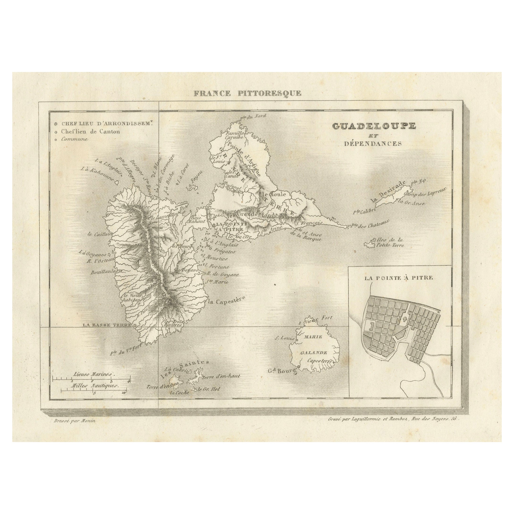
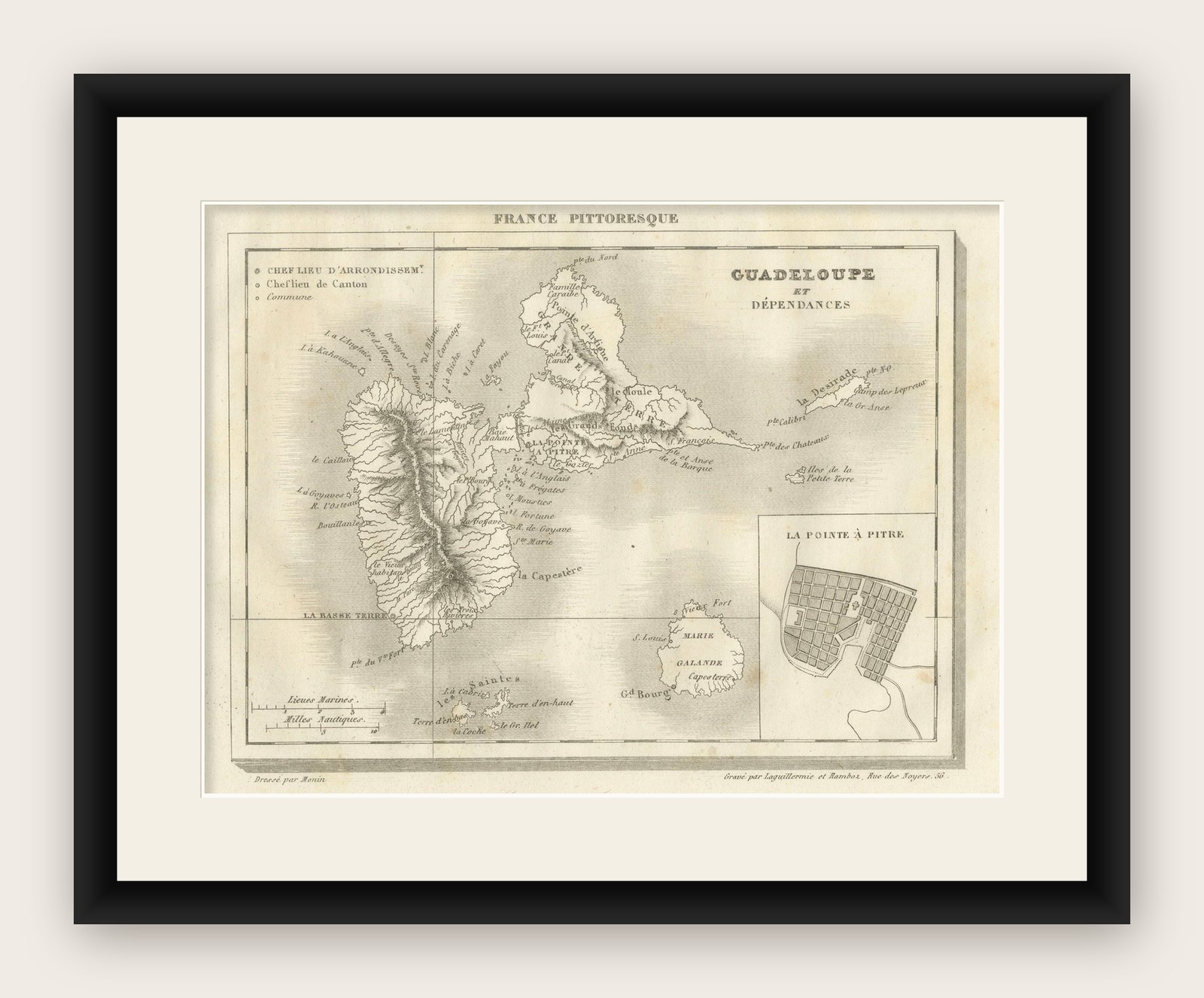
Antique Map of Guadeloupe and Dependencies – France Pittoresque, c. 19th Century
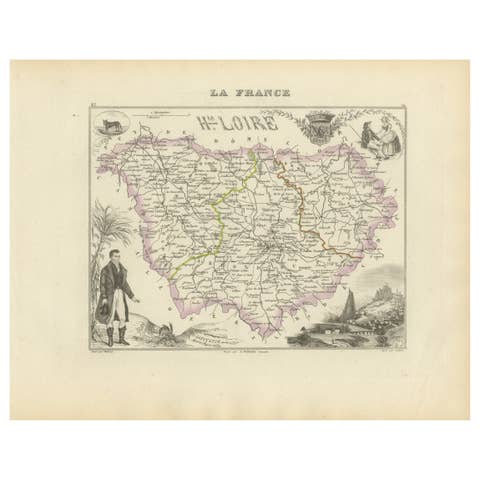
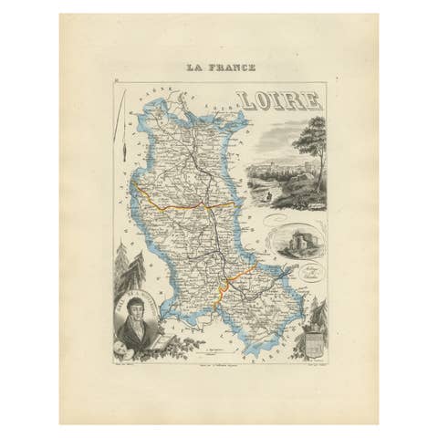
This finely engraved antique map of Guadeloupe and its dependencies originates from France Pittoresque, a 19th-century geographical and pictorial publication. The map, drawn by Monin and engraved by Laguillermie & Ramboz, showcases the islands of Basse-Terre and Grande-Terre, along with surrounding islets such as La Désirade, Marie-Galante, and Les Saintes. A detailed inset of Pointe-à-Pitre, the main commercial hub of Guadeloupe, is positioned in the lower right corner. The map highlights key geographical features, settlements, and maritime routes, with fine shading used to indicate topography.
Published during the height of French colonial influence, this map provides a historical perspective on Guadeloupe's administrative divisions and strategic importance in the Caribbean.
Condition Report:
- Paper Quality: Lightly aged paper with a warm patina, typical for maps of this period.
- Engraving: Crisp and clear, with fine detailing intact.
- Margins: Full margins present, though minor toning or light foxing may be visible at the edges.
- Overall Condition: Very good for its age, with no significant tears or losses.
Framing Tips:
- Matting: Use an acid-free mat in an off-white or cream color to complement the map’s aged paper tone.
- Glass: UV-protective glass or museum-grade acrylic will help prevent further aging and protect against light exposure.
- Frame Style: A classic wood or gold-leaf frame can enhance the historical character, while a simple black or dark brown frame offers a more neutral presentation.
- Mounting: Ensure archival-quality mounting materials are used to prevent damage over time.