About this sheet
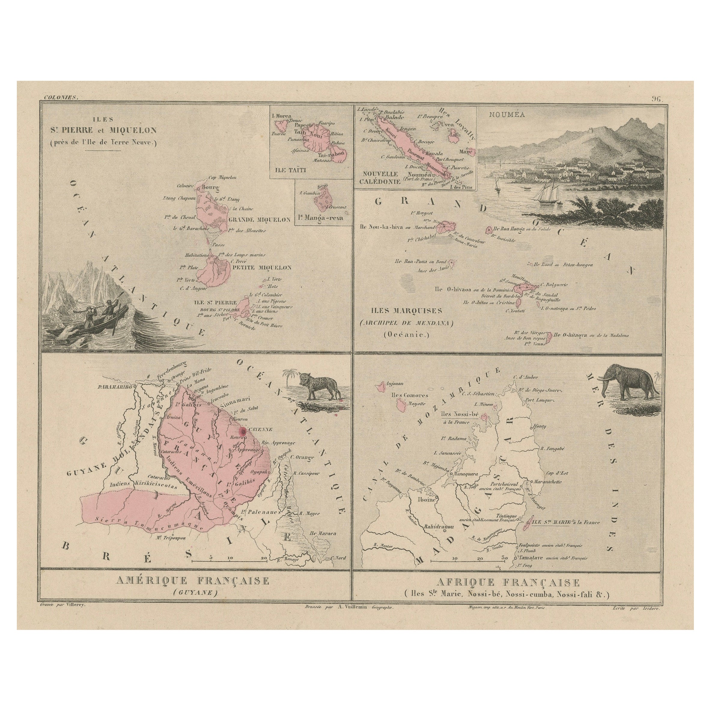
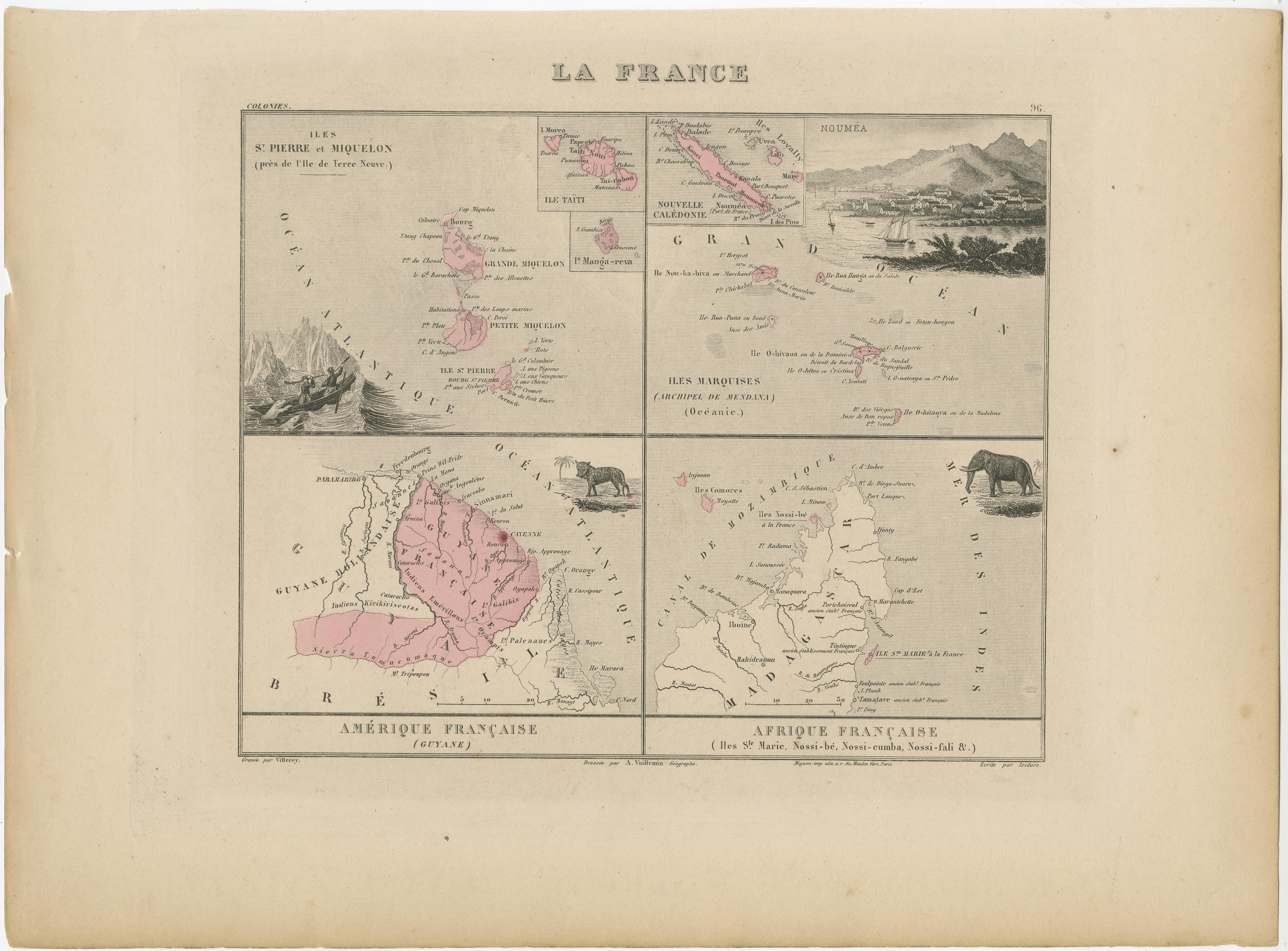
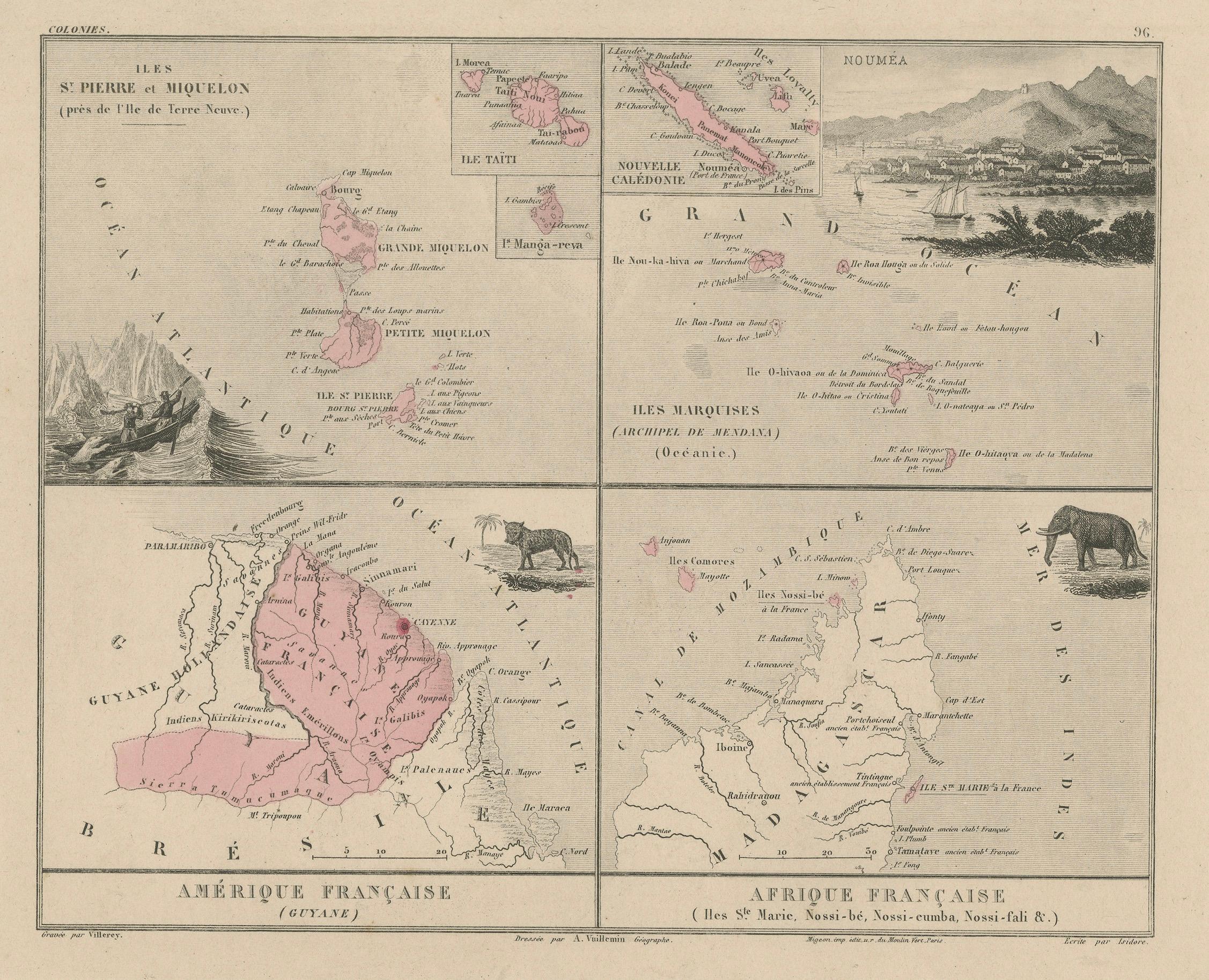
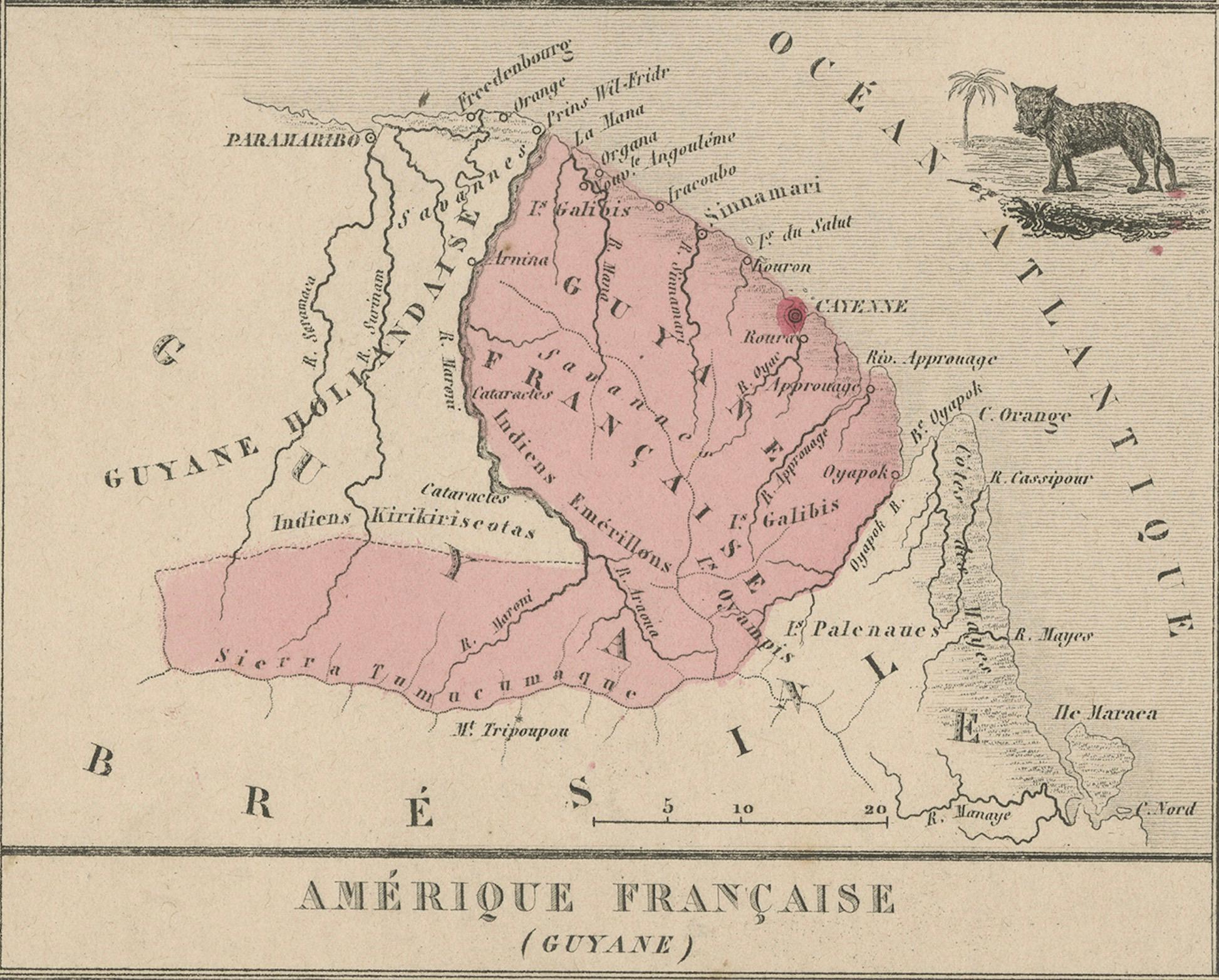
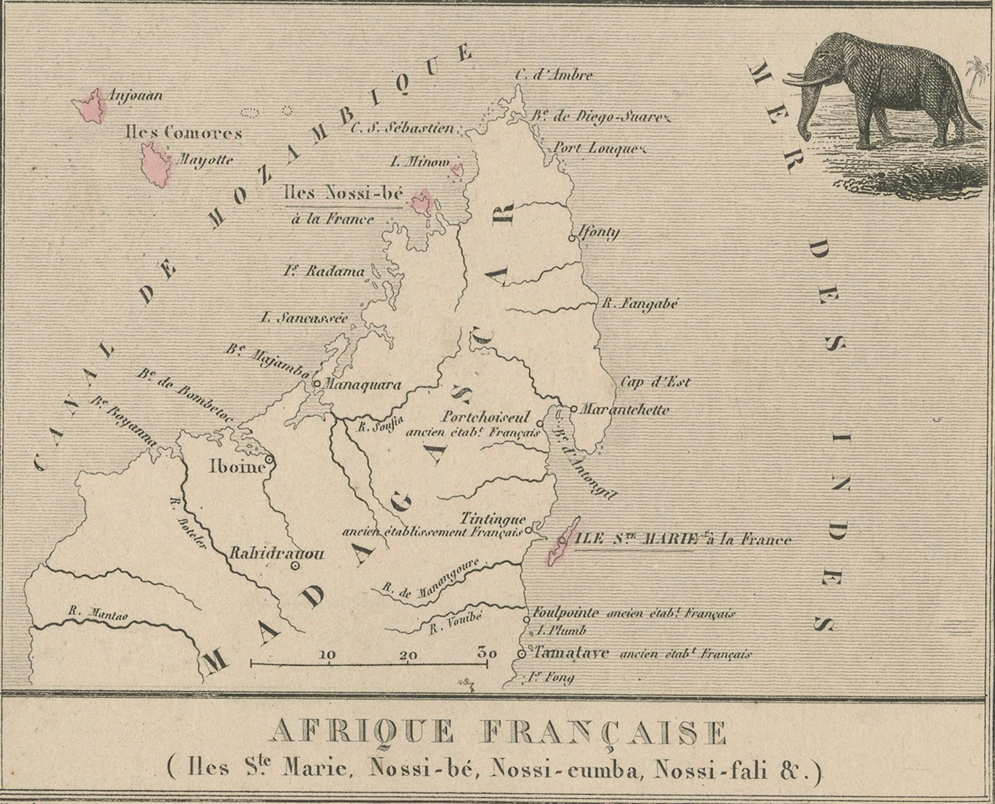
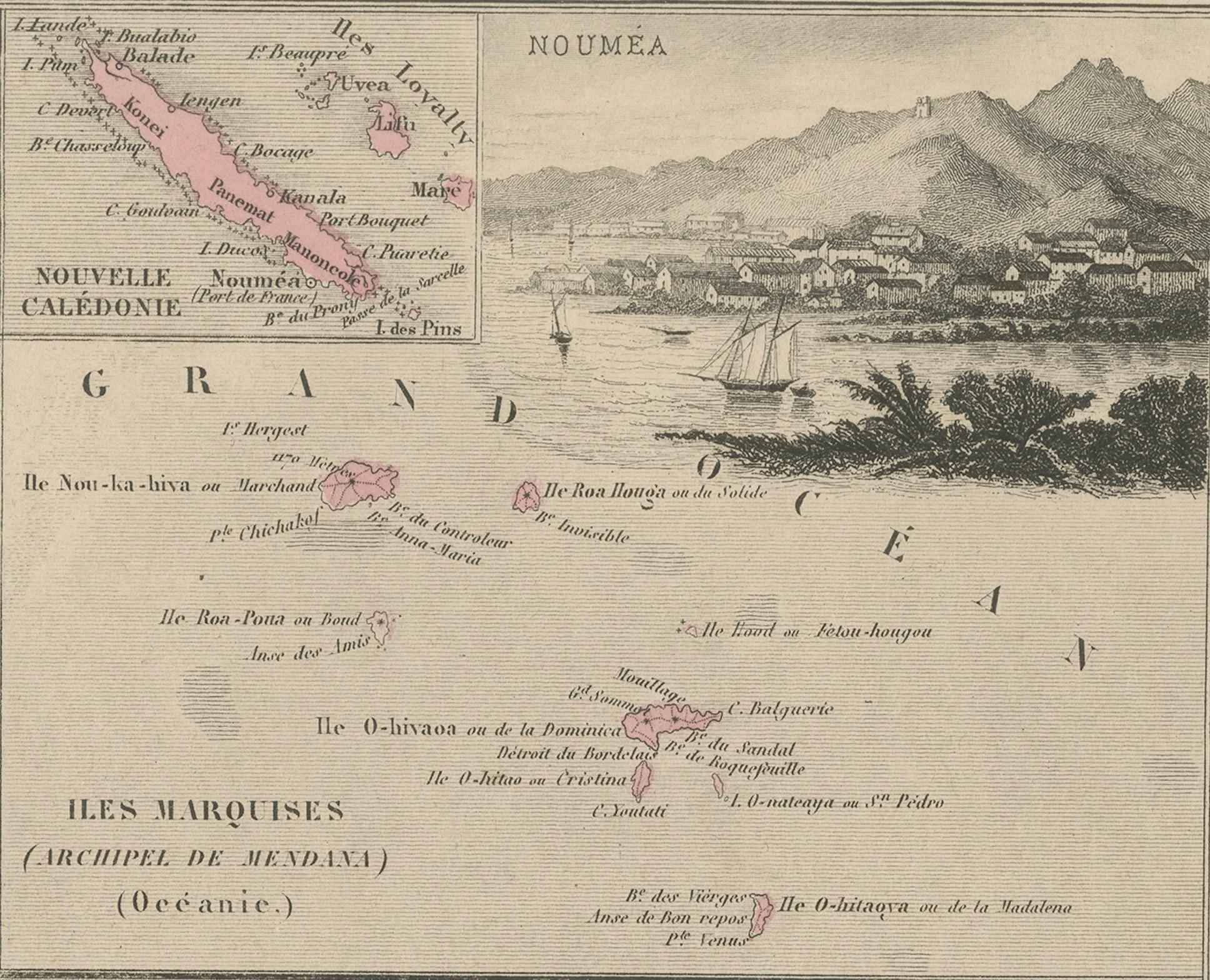
This antique 19th-century map, titled La France, presents a detailed depiction of France’s overseas colonies, including territories in the Americas, Africa, and Oceania. The map is divided into four sections:
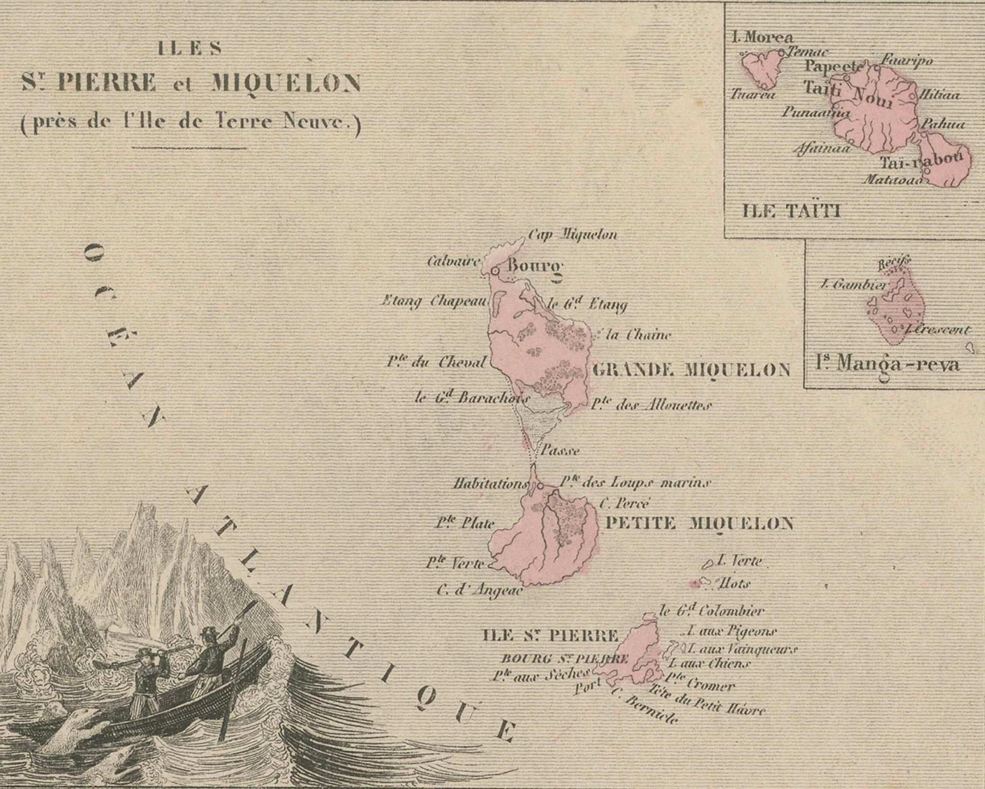
- Saint Pierre and Miquelon (near Newfoundland, Canada), showing the small French territories in the Atlantic.
- New Caledonia and the Marquesas Islands, featuring French possessions in the Pacific, including a scenic engraving of Nouméa.
- French Guiana (Amérique Française), highlighting the colony’s geography along the northern coast of South America.
- French African Islands, detailing islands such as Nosy Be, Nosy Komba, and Île Sainte-Marie near Madagascar.
The map includes hand-colored elements, primarily in pink, to distinguish French territories. Additionally, decorative engravings, such as a coastal view of Nouméa and illustrations of indigenous wildlife, enhance its visual appeal.
Produced by Migeon, a well-known 19th-century French cartographer, this map exemplifies France's colonial reach during the period.
Condition Report:
Paper Quality: Thick, high-quality 19th-century paper with natural aging.
Engraving: Well-preserved with crisp detailing.
Coloring: Original hand-coloring in pink remains vibrant.
Margins: Wide margins with light age-toning and minor foxing spots.
Overall Condition: Excellent for its age, with no major defects or tears.
Framing Tips:
Matting: Use a neutral acid-free mat to complement the soft tones of the aged paper.
Glass: Museum-grade UV-protective glass to prevent further fading.
Frame Style: A classic wooden frame with gold or dark brown accents will enhance the antique aesthetic.
Mounting: Ensure archival mounting to preserve the integrity of the paper over time.