Original antique · The actual sheet photographed · Certificate of authenticity on request · Sold unframed · Worldwide shipping from € 15 (rates)
Date
1790
Sheet size
57.5 × 129 cm (22.6 × 50.8 in)
Condition
Good
Reference
BG-12390-60
What the condition grades mean
Excellent
Bright and clean, with no faults worth mentioning.
Very good
Only light signs of age, such as faint toning.
Good
Normal signs of age for a sheet of this period: toning, some foxing, small marks or neat old repairs.
Fair
Clear faults such as staining, tears or repairs, priced to match.
Every fault we see is written in the condition note, and the whole sheet is shown uncropped in the photos.
Condition
Extended with text on both sides (joined). General age-related toning, creasing and minor wear. Blank verso. Please review the images for further condition details.
About this sheet
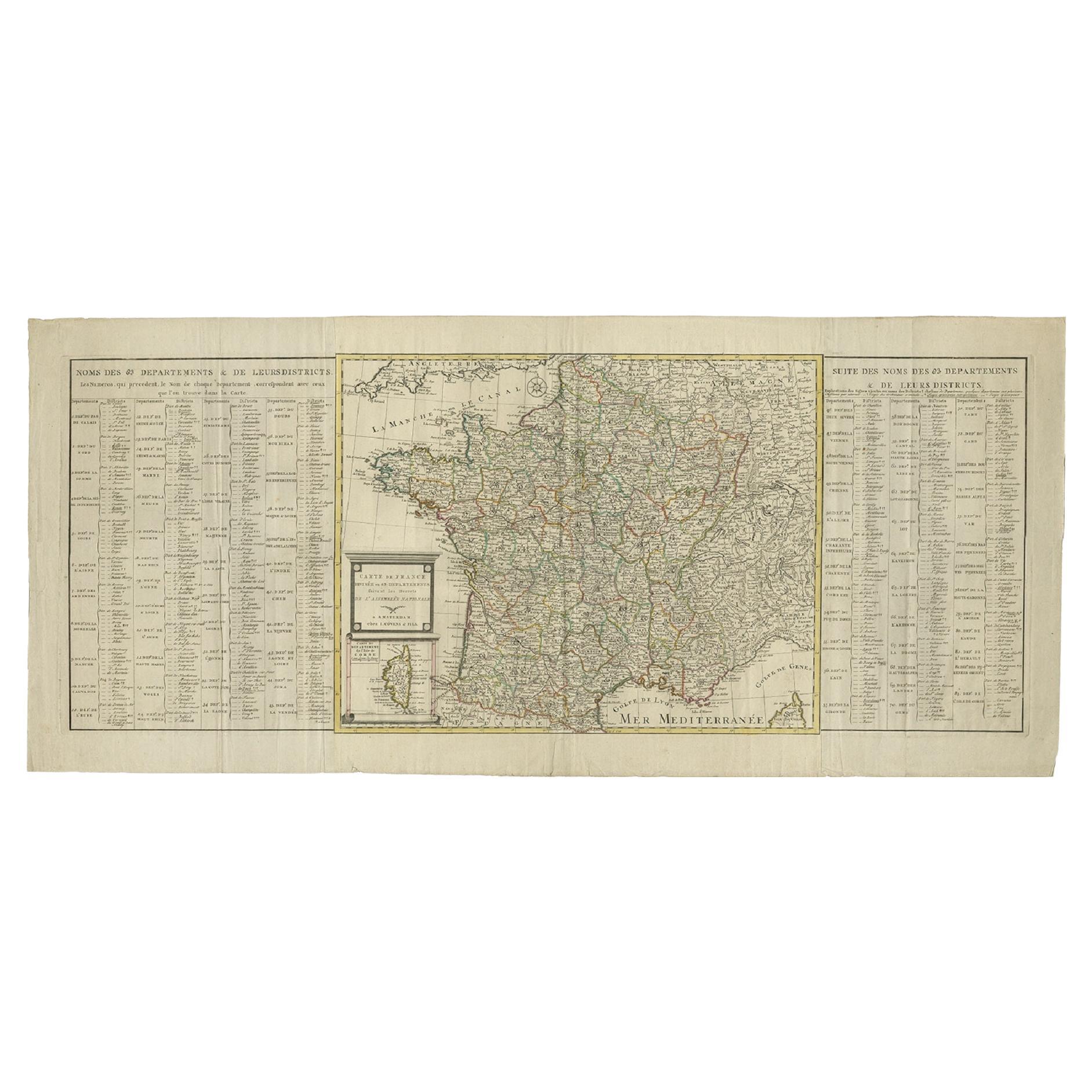
A detailed description of the 'Carte de France divisée en 83 Departements (..)', an antique map circa 1790, along with information about its publishers, Covens & Mortier:
Title: 'Carte de France divisée en 83 Departements (..)'
Artists and Engravers: The map was produced by Covens & Mortier, a renowned Dutch publishing firm known for its extensive and successful history in map publishing. The firm was established by Pierre Mortier the Elder (1661-1711), who initially obtained the privilege to distribute the works of French geographers in the Netherlands. After Pierre's widow managed the business for several years, Cornelis Mortier took over in 1719. In 1721, Cornelis forged a partnership with Johannes Covens, who had married Cornelis’ sister, leading to the creation of the Covens & Mortier name. This partnership continued through various family successors, including Johannes Covens II and later Cornelis (son of Johannes Covens II), who integrated Petrus Mortier IV (the great-grandson of Petrus Mortier I) back into the business. In 1794, the company was renamed Mortier, Covens & Zoon, reflecting its enduring legacy and family lineage in the field of map publishing.
Significance: The map is a testament to the skill and artistry of Covens & Mortier, showcasing their ability to blend accurate geographic information with detailed and aesthetically pleasing design. As a historical document, it provides insights into the geographical understanding of France during a pivotal period in its history. The map's large format, detailed text, and division into departments make it a valuable resource for historians, collectors, and enthusiasts of cartography.