Maps & PrintsBartele Gallery · Langweer
Home / Antique Maps / Europe / Western Europe / France

France

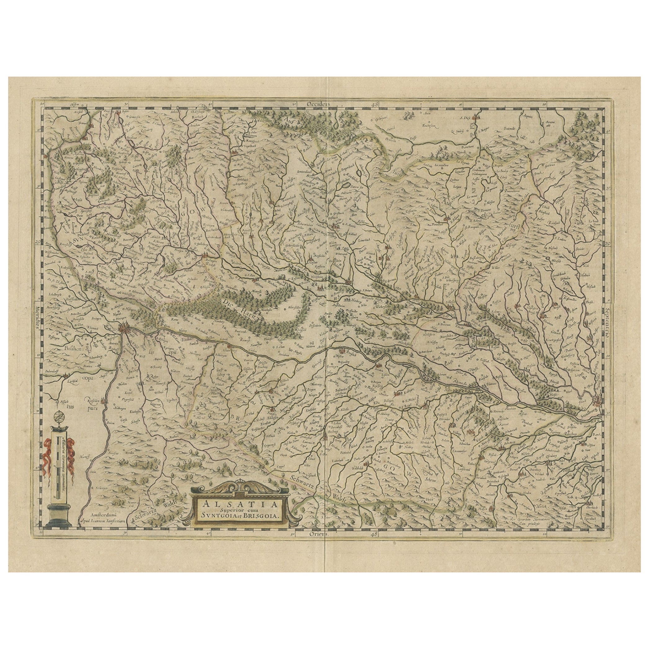
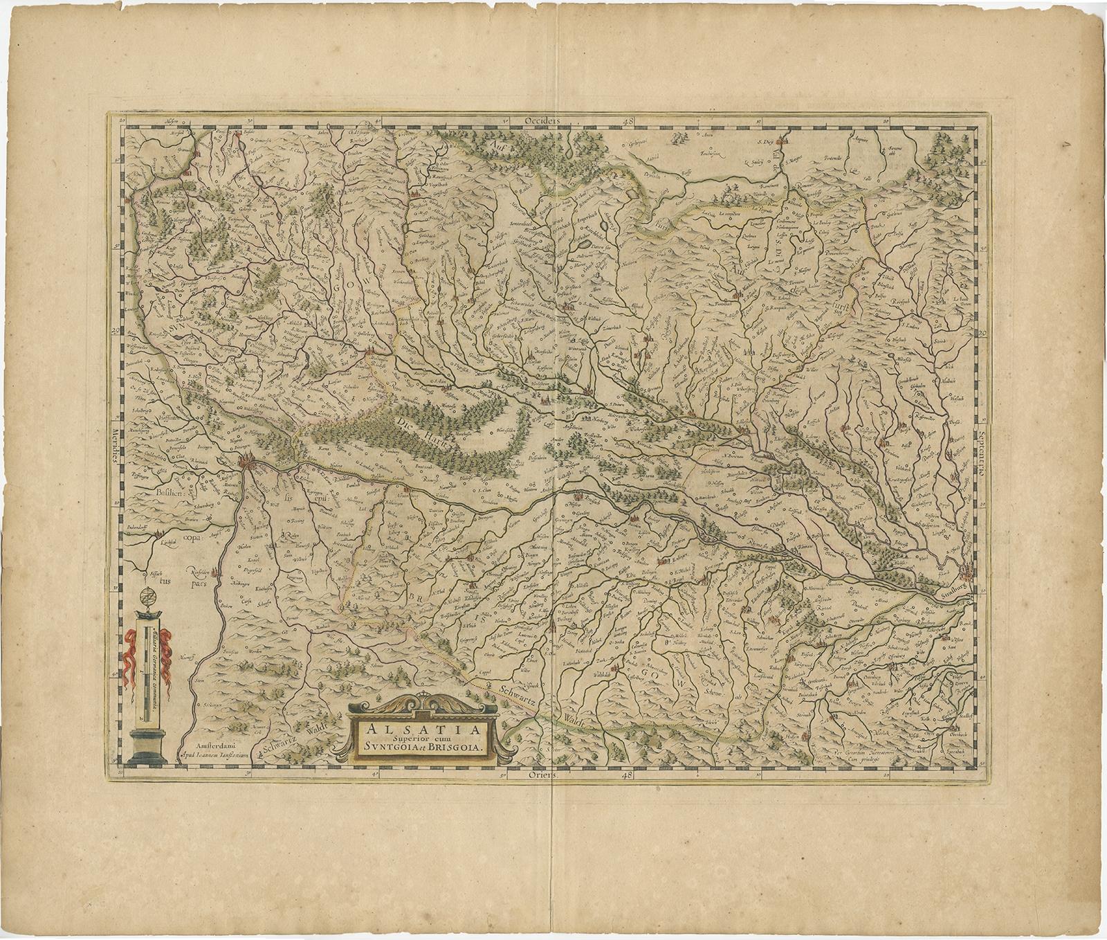
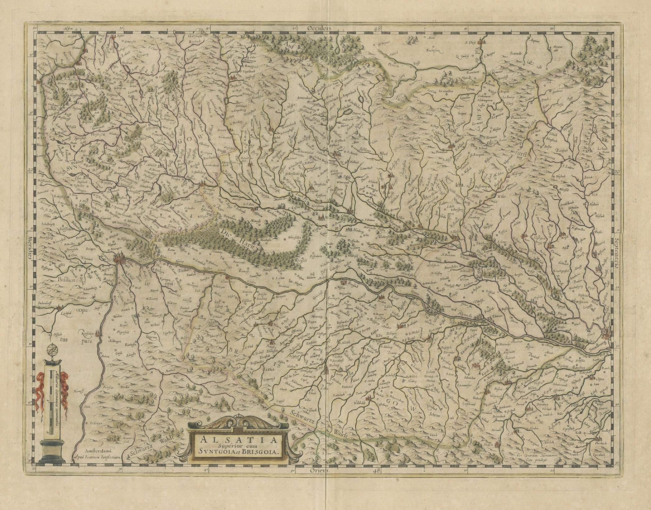
Old Map of the Alsace 'Elzas' Region with Lotharingen 'Lorraine', France, c1650

€ 440

Original antique · The actual sheet photographed · Certificate of authenticity on request · Sold unframed · Worldwide shipping from € 15 (rates)

Sheet size
50 × 58.5 cm (19.7 × 23.0 in)
Condition
Good
Reference
BG-11262

Condition

Original/contemporary hand coloring. General age-related toning and some wear. Dutch text on verso. Please review the images for further condition details.


About this sheet

Antique map titled 'Alsatia superior cum Suntgoia et Brisgoia'.

Old map of the Alsace (or Elzas) region with Lotharingen (Lorraine), Strassburg, Freiburg, Basel etc. Source unknown, to be determined.

Artists and Engravers: Johannes Janssonius (Jansson), ( 1588- 1664) Amsterdam was born in Arnhem, the son of Jan Janszoon the Elder, a publisher and bookseller.

More from France

Ask about this sheet

Old Map of the Alsace 'Elzas' Region with Lotharingen 'Lorraine', France, c1650
Ref. BG-11262 · € 440
We reply by email, usually within one working day.



