About this sheet
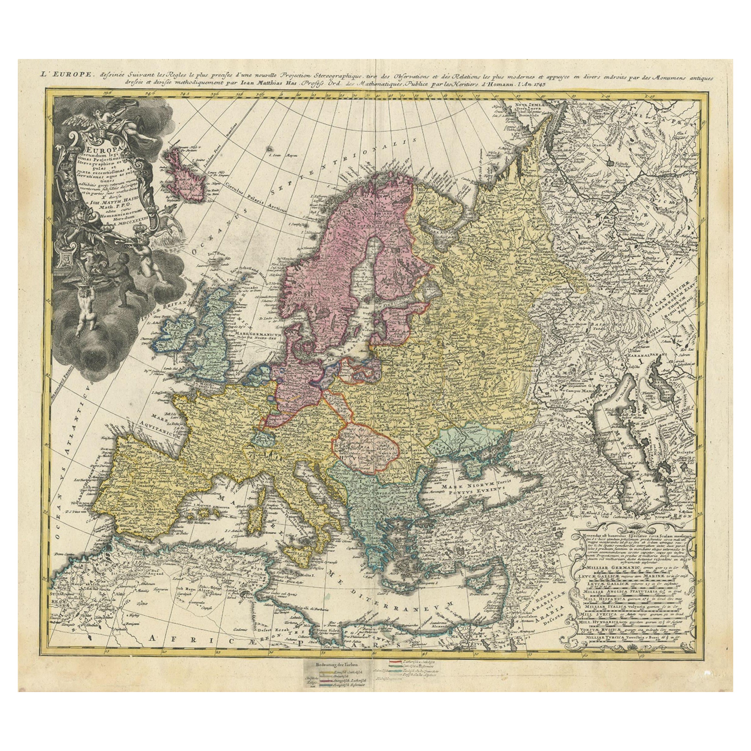
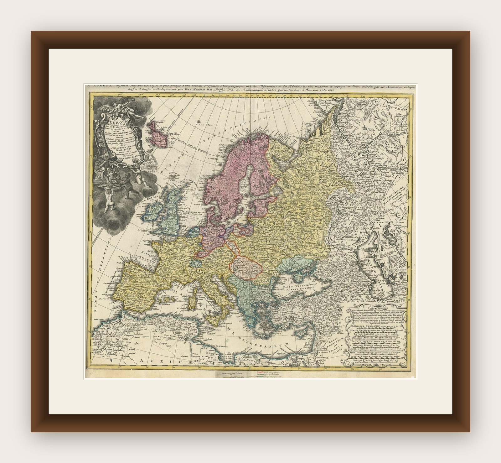
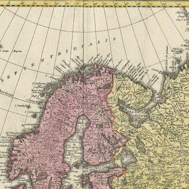
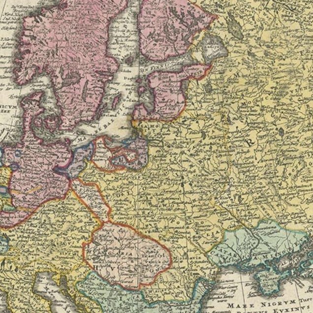
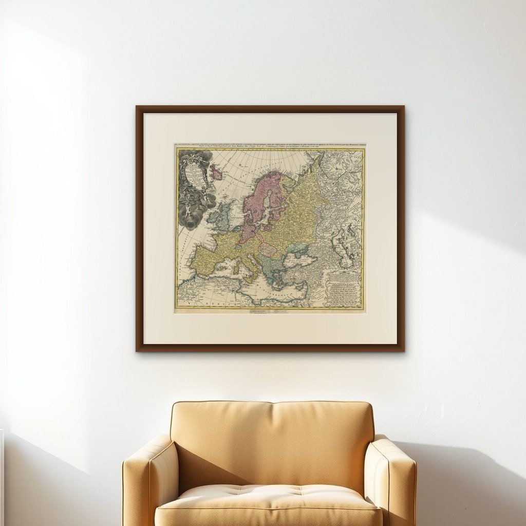
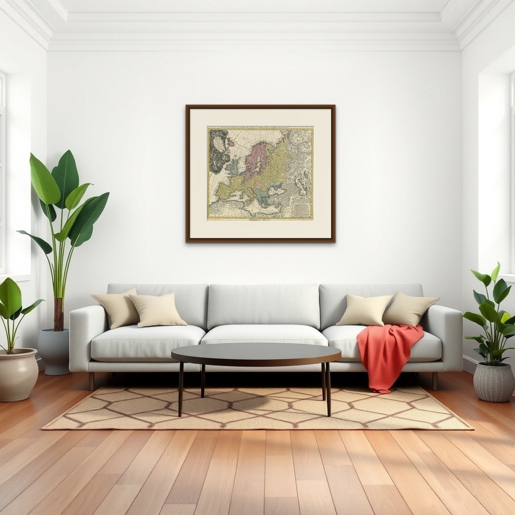
Antique map of Europe titled 'Europa Secundum legitimas Projectionis Stereographicae regulas et juxta recentissimas observationes aeque ac relationes… - L'Europe, dessinee suivant les Regles le plus precises d'une nouvelle Projection Stereographique, tiree des Observations et des Relations les plus modernes et appuyee en divers endroits des Monumens antiques, dressee et divisee methodiquement par Iean Mattias Has Profess. Ordin des Mathematiques: Publiee par les Heritiers d'Homann L'An 1743'. This map depicts all of Europe including Iceland and parts of North Africa and Asia. Color coded according to sovereign nation. Elaborate title cartouche in the upper left quadrant features Europa, an angel, numerous crowns representing the royal houses of Europe, three children and several horses.
Artists and Engravers: This map was drawn in Nuremberg by Johann Matthais Haas for inclusion the 1752 Homann Heirs 'Maior Atlas Scholasticus ex Triginta Sex Generalibus et Specialibus'. Following the long period of Dutch domination, the Homann family became the most important map publishers in Germany in the eighteenth century, the business being founded by J.B. Homann in Nuremberg about the year 1702. Soon after publishing his first atlas in 1707 he became a member of the Berlin academy of Sciences and in 1715 he was appointed Geographer to the Emperor. After the founder's death in 1724, the firm was continued under the direction of his son until 1730 and was then bequeathed to his heirs on the condition that it trades under the name of Homann Heirs. The firm remained in being until the next century and had a wide influence on map publishing in Germany. Apart from the atlases the firm published a very large number of individual maps. The Homanns produced a Neuer Atlas in 1714, a Grosser Atlas in 1737, and an Atlas Maior with about 300 maps in 1780. They also issued a special Atlas of Germany with full sized plans of principal cities, school atlases and an Atlas of Silesia in 1750 with 20 maps.
Image size: 55 x 49 cm.