About this sheet
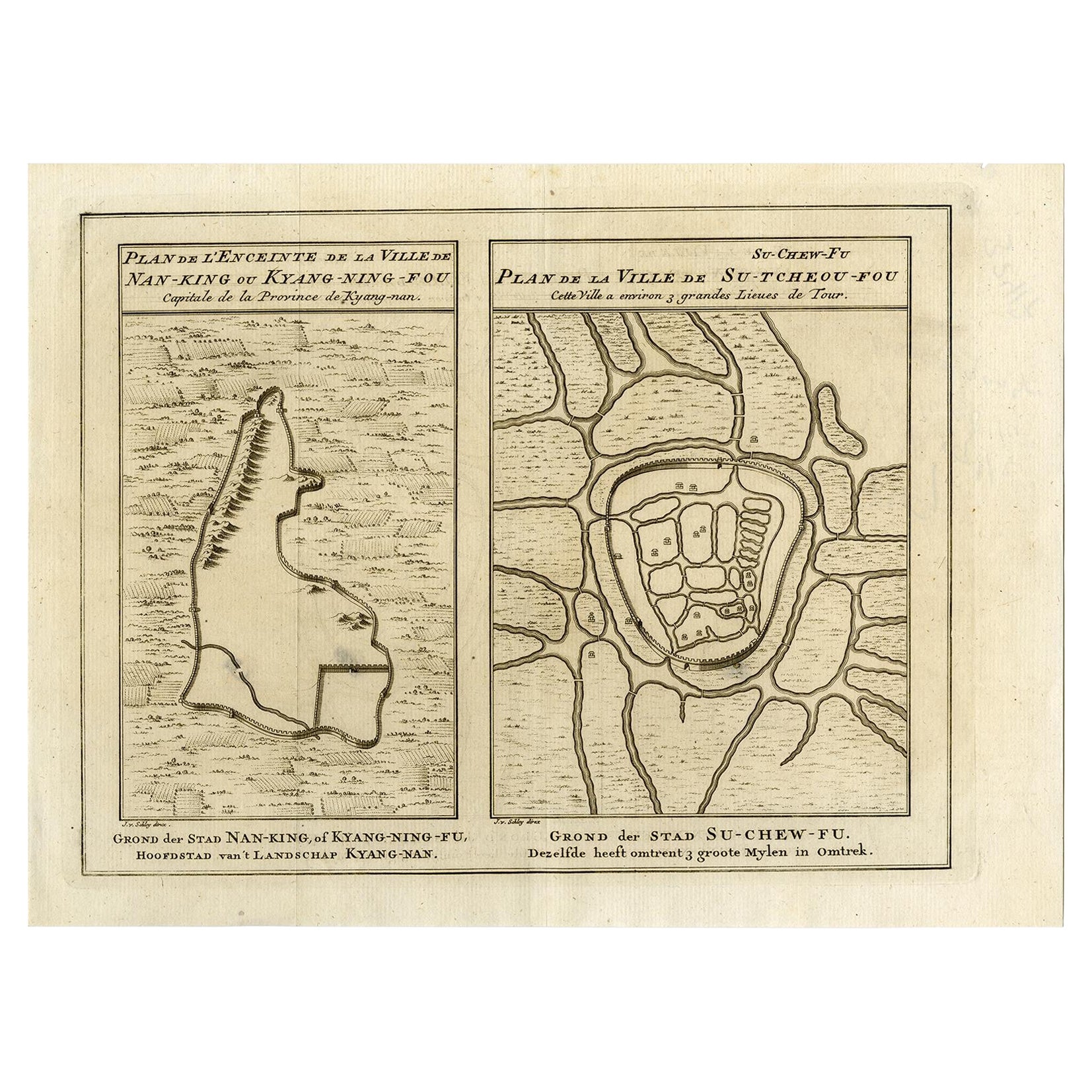
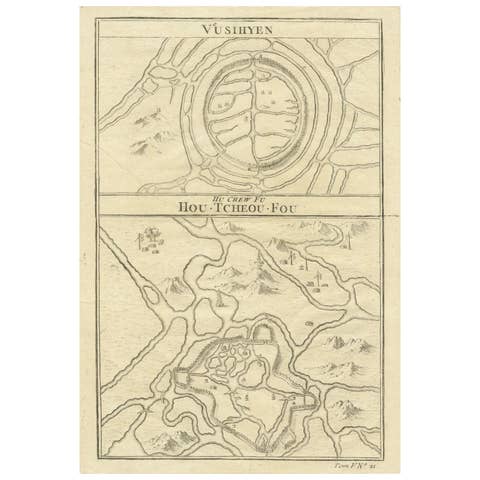
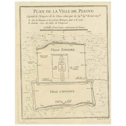
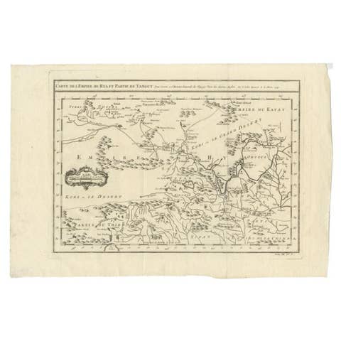
Antique map titled 'Plan de l' Enceinte de la Ville de Nan-King ou Kyang-Ning-Fou et plan de la ville de Su-Tcheou-Fou.' A map of the city of Nanking or Nanjing. A second map shows Suzhou (?) in the Jiangsu region. While these maps by Van Schley after Bellin were initially made for 'Histoire Generale des Voyages' (Paris 1746-1759), this is from the 1758 Dutch edition of that work published by Arkstee & Merkus.
Artists and Engravers: Made by 'Jakob van Schley' after 'Jacques Nicolas Bellin'. Jakob van der Schley (1715-1779) was a Dutch draughtsman and engraver, who studied under Bernard Picart. Jacques-Nicolas Bellin (1703-1772) was a French hydrographer, geographer and member of The Philosophes. His career, spanning over 50 years, caused an enormous outpt in maps, particular of maritime interest.
Condition: Very good, given age. Original middle fold, as issued. Three tiny holes in the print, closed using contemporary paper backed with acid free archival tape. General age-related toning and/or occasional minor defects from handling. Please study image carefully.
Date: 1758
Overall size: 32.2 x 23.8 cm.
Image size: 28.2 x 21.8 cm.