Original antique · The actual sheet photographed · Certificate of authenticity on request · Sold unframed · Worldwide shipping from € 15 (rates)
Date
1878
Sheet size
24 × 28 cm (9.4 × 11.0 in)
Condition
Fair
Reference
BG-03437
What the condition grades mean
Excellent
Bright and clean, with no faults worth mentioning.
Very good
Only light signs of age, such as faint toning.
Good
Normal signs of age for a sheet of this period: toning, some foxing, small marks or neat old repairs.
Fair
Clear faults such as staining, tears or repairs, priced to match.
Every fault we see is written in the condition note, and the whole sheet is shown uncropped in the photos.
Condition
General age-related toning. Defect on folding line. Please review the images for further condition details.
About this sheet
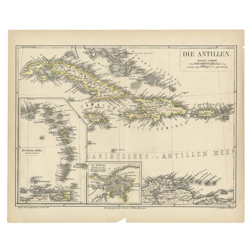
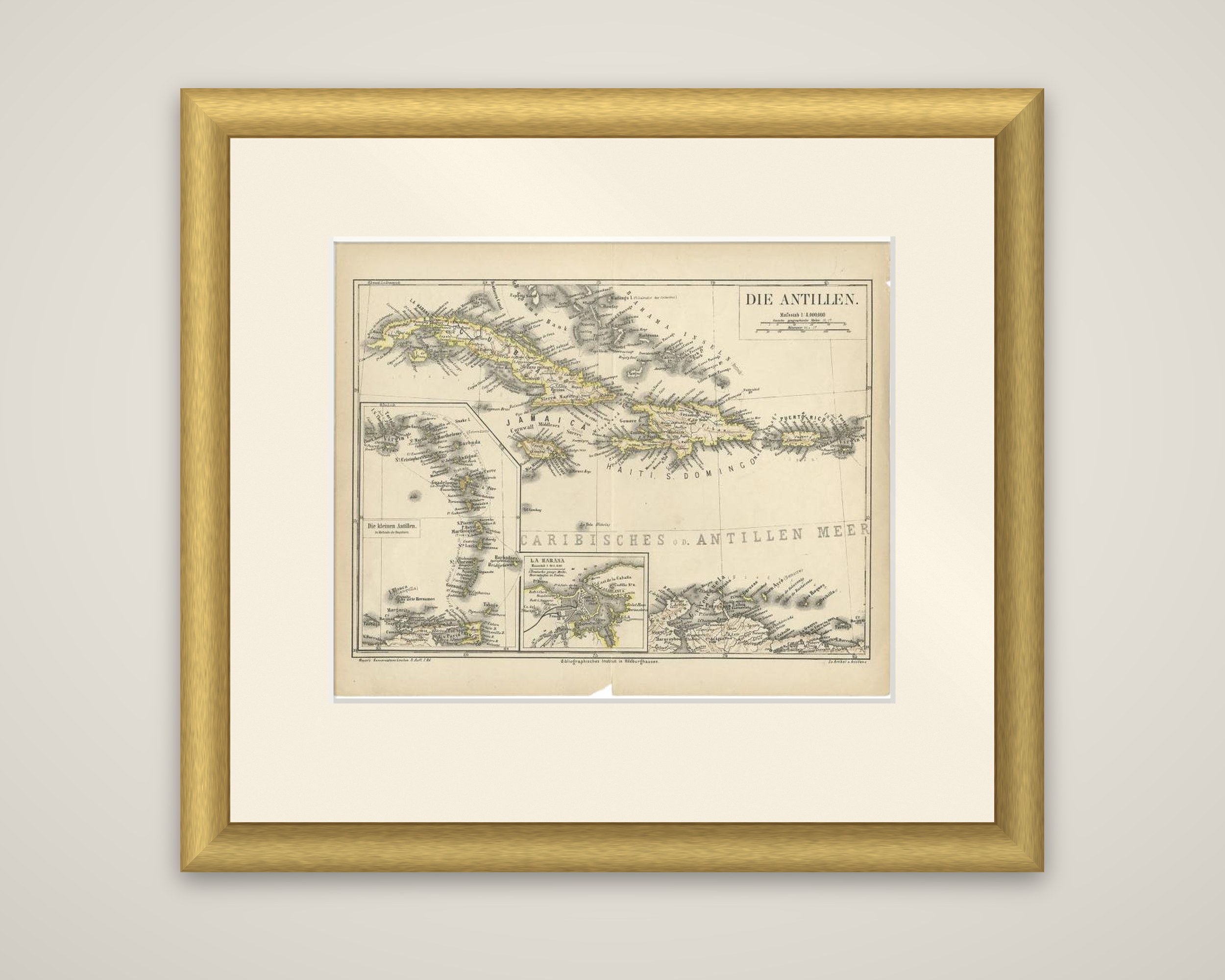
The West Indies on a German map titled "Die Antillen", from Meyer's Konversations-Lexikon, the encyclopedia published in Hildburghausen by the Bibliographisches Institut. The sheet is dated 1878 in the catalog and is printed in black with yellow tint along the coasts and island outlines.
The main map shows Cuba, Jamaica, Haiti with Santo Domingo, Puerto Rico and the Bahama Islands, with the Caribbean Sea lettered across the center as "Caribisches od. Antillen Meer" and the coast of Venezuela along the foot of the sheet. Two insets sit at the lower left: "Die kleinen Antillen" (the Lesser Antilles) on a larger scale, and a plan of La Habana, Havana, with its harbor and fortifications. A scale of 1:4,000,000 is printed in the box at upper right.
The sheet is an encyclopedia plate in German, with the island names given in the German forms of the day, and it was meant as a reference map for readers of the lexicon.