About this sheet
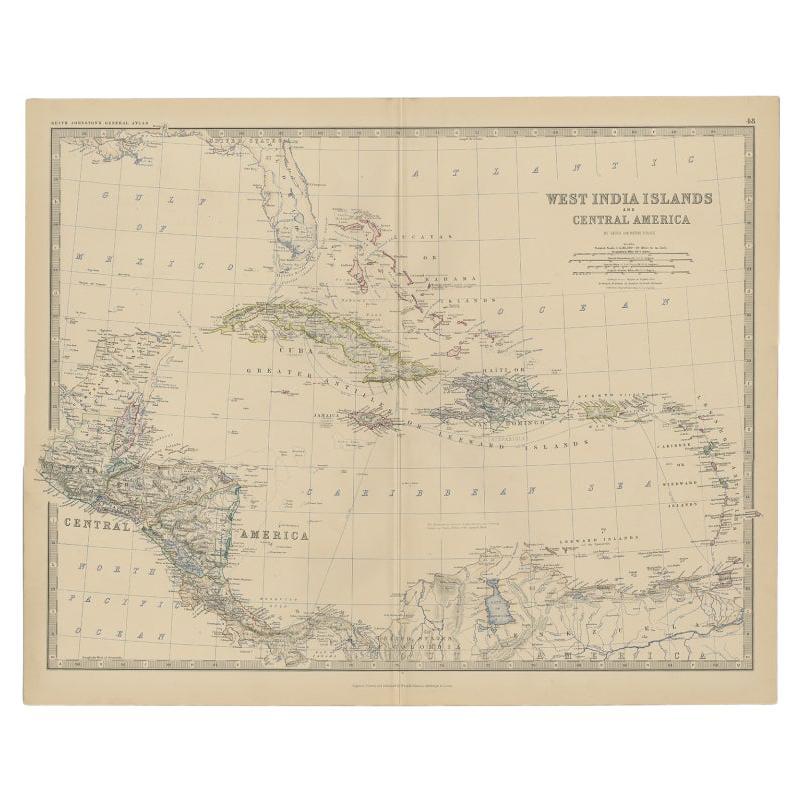
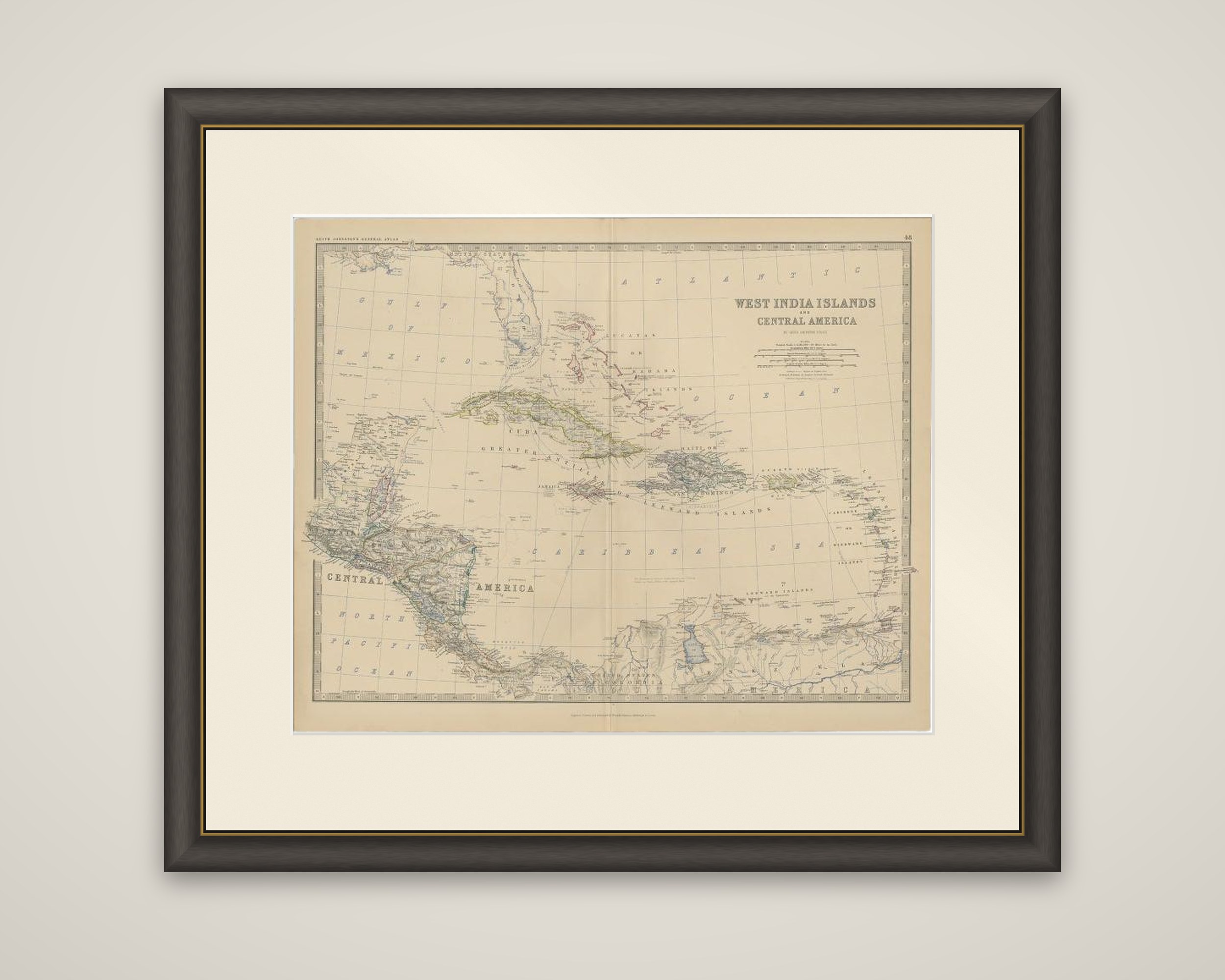
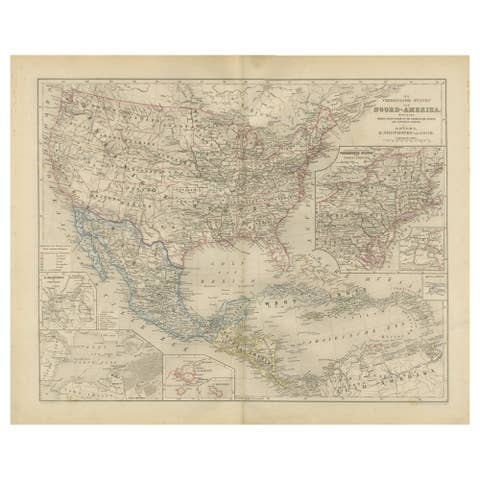
The West Indies and Central America on a map from The Royal Atlas of Modern Geography, by Alexander Keith Johnston, published by W. & A.K. Johnston in 1882. The sheet is engraved and lettered "West India Islands and Central America", with the title and scales at upper right.
The map covers the Gulf of Mexico and the Caribbean Sea, with the southern tip of Florida and the Bahama Islands at the top, Cuba and the Greater Antilles across the center, and the Lesser Antilles and the Leeward and Windward Islands curving to the right. Central America fills the left side, from Yucatan and the Mosquito coast down to Panama, and the north coast of Venezuela and Colombia with Lake Maracaibo runs along the foot of the sheet. The political divisions are tinted in color, and the islands, ports and rivers are lettered in detail.
The sheet shows the political divisions of the region as drawn in the early 1880s.