About this sheet
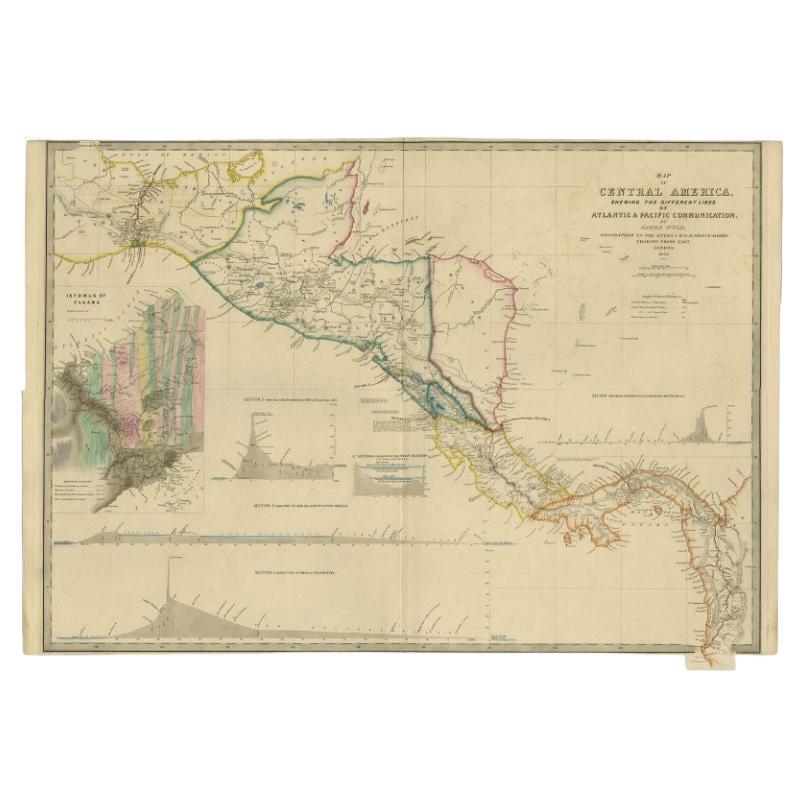
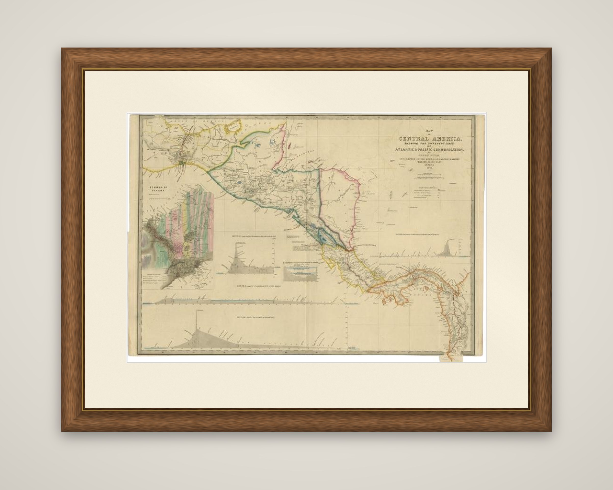
Central America on an 1850 map titled "Map of Central America Shewing the Different Lines of Atlantic & Pacific Communication", drawn by the English geographer James Wyld and issued in a United States government edition, published in a report to Congress. The sheet is an engraved map with outline color, printed on heavier paper than the usual government document.
The main map runs from southern Mexico and the Isthmus of Tehuantepec at the upper left to Panama at the lower right, with the borders of Guatemala, Honduras, Nicaragua, Costa Rica and the Mosquito coast outlined in color. Four profile sections of the proposed routes run across the foot of the sheet, covering the lines across the Isthmus of Tehuantepec, from Port San Juan del Norte to Port Realejo, from Chagres on the Atlantic to Vaca de Monte on the Pacific, and from Lake Nicaragua to San Juan del Sur. A large, colorful inset at the left shows the Isthmus of Panama and the planned route in detail.
At the time there was great interest in a land transit through Central America that would cut weeks off the journey to California and the gold fields.