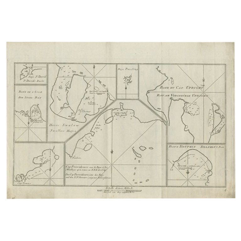
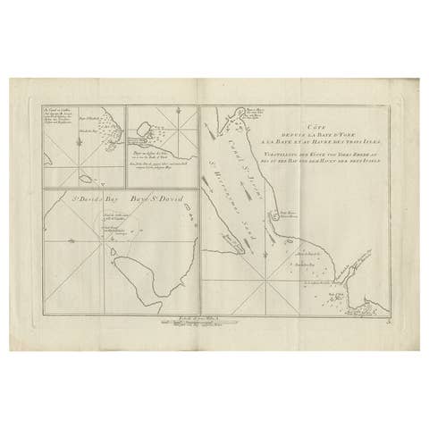
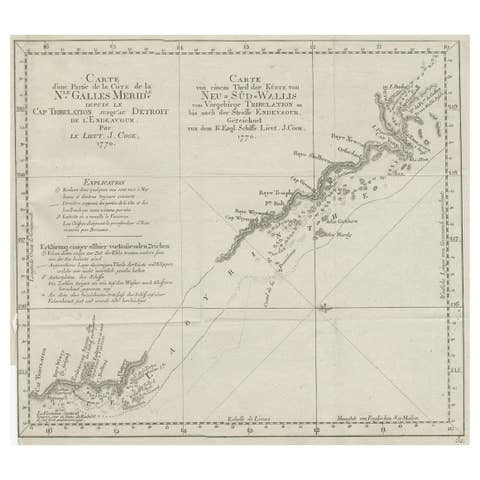
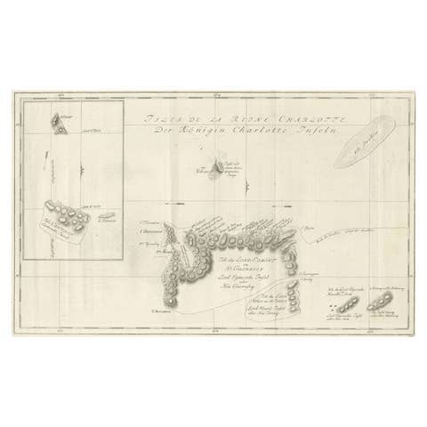
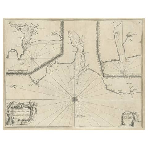
Antique Chart of CAP Providence and Other Charts by Hawkesworth, 1774
€ 320
One of a kind: this is the sheet in the photographs. Ships from Langweer, the Netherlands.
Date
1774
Sheet size
26 × 38.5 cm (10.2 × 15.2 in)
Reference
BGJC-219
Condition
Very good, general age-related toning. Please study image carefully.
About this sheet
Antique print titled 'Baye du Cap Upright (..)'. Eight charts on one sheet of Cap Providence, St. David's Cove, the Bay of the Island, Swallow's Haven, Puzzling Bay, Baye du Cape Upright 's Bay, Dauphina's Bay. Originates from 'Geschichte der See-Reisen und Entdeckungen im Süd-Meer welche auf Befehl Sr. Großbrittanischen Majestät unternommen, und von Commodore Byron, Capitain Wallis, Capitain Carteret und Capitain Coockim Dolphin, der Swallow, und dem Endeavour nach einander ausgeführt worden sind (..)'.
Artists and Engravers: Published by Haude & Spener, Berlin.
Condition: Very good, general age-related toning. Please study image carefully. Date: 1774 Overall size: 38.5 x 26 cm. Image size: 35.5 x 20.5 cm.
Antique prints have long been appreciated for both their aesthetic and investment value. They were the product of engraved, etched or lithographed plates. These plates were handmade out of wood or metal, which required an incredible level of skill, patience and craftsmanship. Whether you have a house with Victorian furniture or more contemporary decor an old engraving can enhance your living space. We offer a wide range of authentic antique prints for any budget.