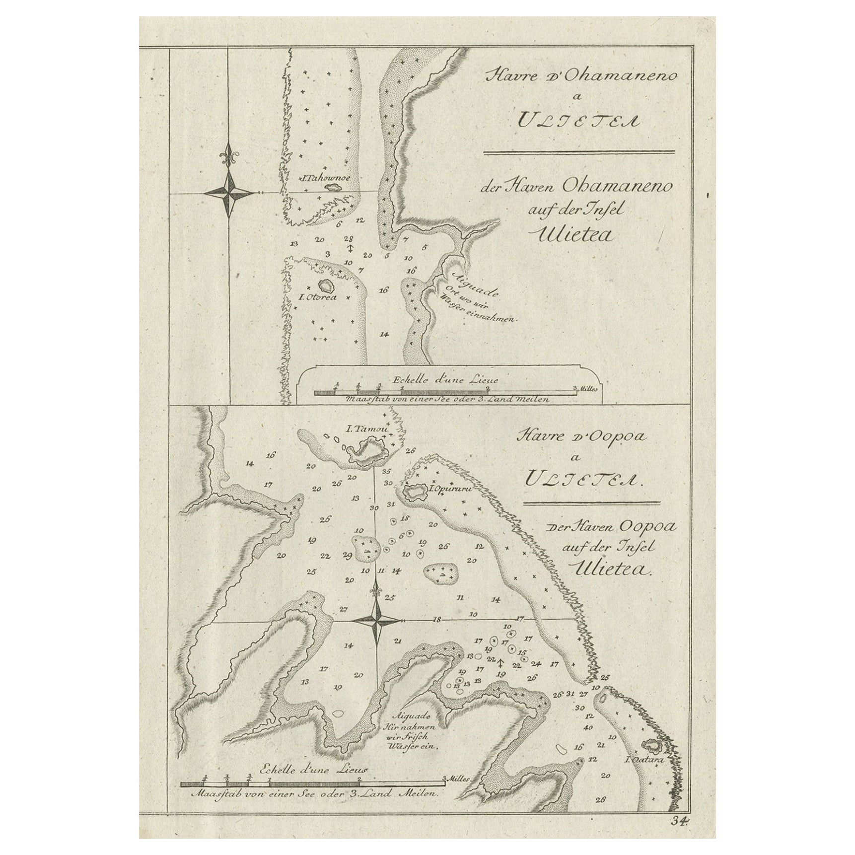
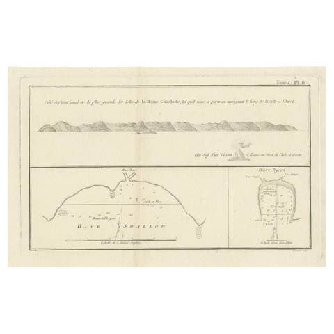
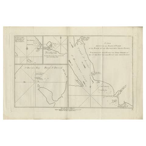
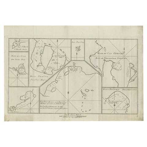
Antique Print of Various Island in French Polynesia, circa 1774
€ 240
Original antique · The actual sheet photographed · Certificate of authenticity on request · Sold unframed · Worldwide shipping from € 15 (rates)
Date
1774
Sheet size
27 × 20 cm (10.6 × 7.9 in)
Condition
Good
Reference
BGJC-181
What the condition grades mean
Excellent
Bright and clean, with no faults worth mentioning.
Very good
Only light signs of age, such as faint toning.
Good
Normal signs of age for a sheet of this period: toning, some foxing, small marks or neat old repairs.
Fair
Clear faults such as staining, tears or repairs, priced to match.
Every fault we see is written in the condition note, and the whole sheet is shown uncropped in the photos.
Condition
General age-related toning. Please review the images for further condition details.
About this sheet
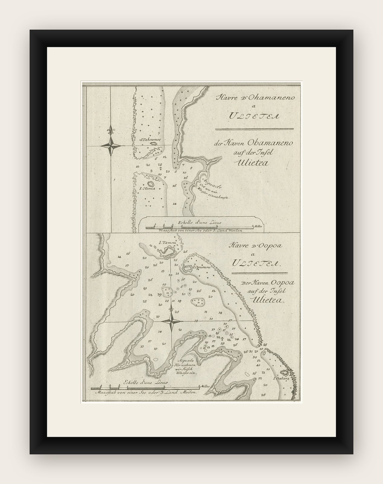
Two antique maps on one sheet titled 'Havre d'Ohamaneno a Ulietea' and Havre d'Oopoa a Ulietea'. Also with German subtitles. The upper image depicts Ohamaneno (Vaiaau) Harbour Raiatea (Ulietea) - Leeward Islands. The lower image depicts Oopoa (Opoa) Harbour, Raiatea (Ulietea) - Leeward Islands. Both located in French Polynesia, South Pacific. By Capt James Cook during his first voyage of discovery in 1769. This print originates from 'An Account of the Voyages Undertaken by the Order of His Present Majesty for Making Discoveries in the Southern Hemisphere and Successively Performed by Commodore Byron, Captain Wallis, Captain Carteret, and Captain Cook, in the Dolphin, the Swallow, and the Endeavor, Drawn Up from the Journals Which Were Kept by the Several Commanders, and from the Papers of Joseph Banks'.
Artists and Engravers: Published by J. Hawkesworth, Paris.