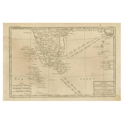
Old Map of Indian Ocean & Sumatra, Java, Borneo, India, Arabia, Africa, c.1783
€ 1 400
Original antique · The actual sheet photographed · Certificate of authenticity on request · Sold unframed · Worldwide shipping from € 15 (rates)
Date
1783
Sheet size
53 × 64.5 cm (20.9 × 25.4 in)
Reference
BG-00811
Condition
Very good. General age-related toning. Please review the images for further condition details.
About this sheet
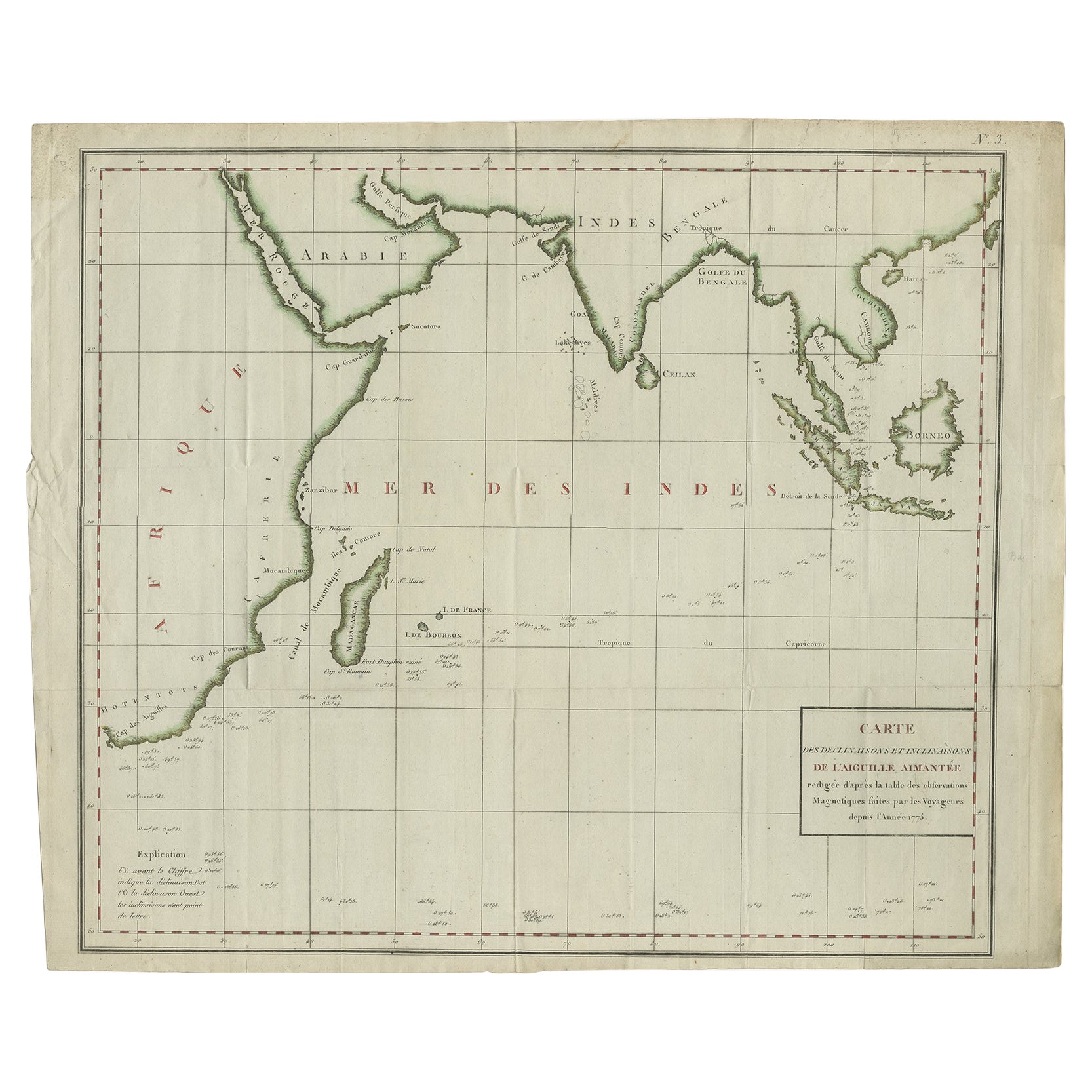
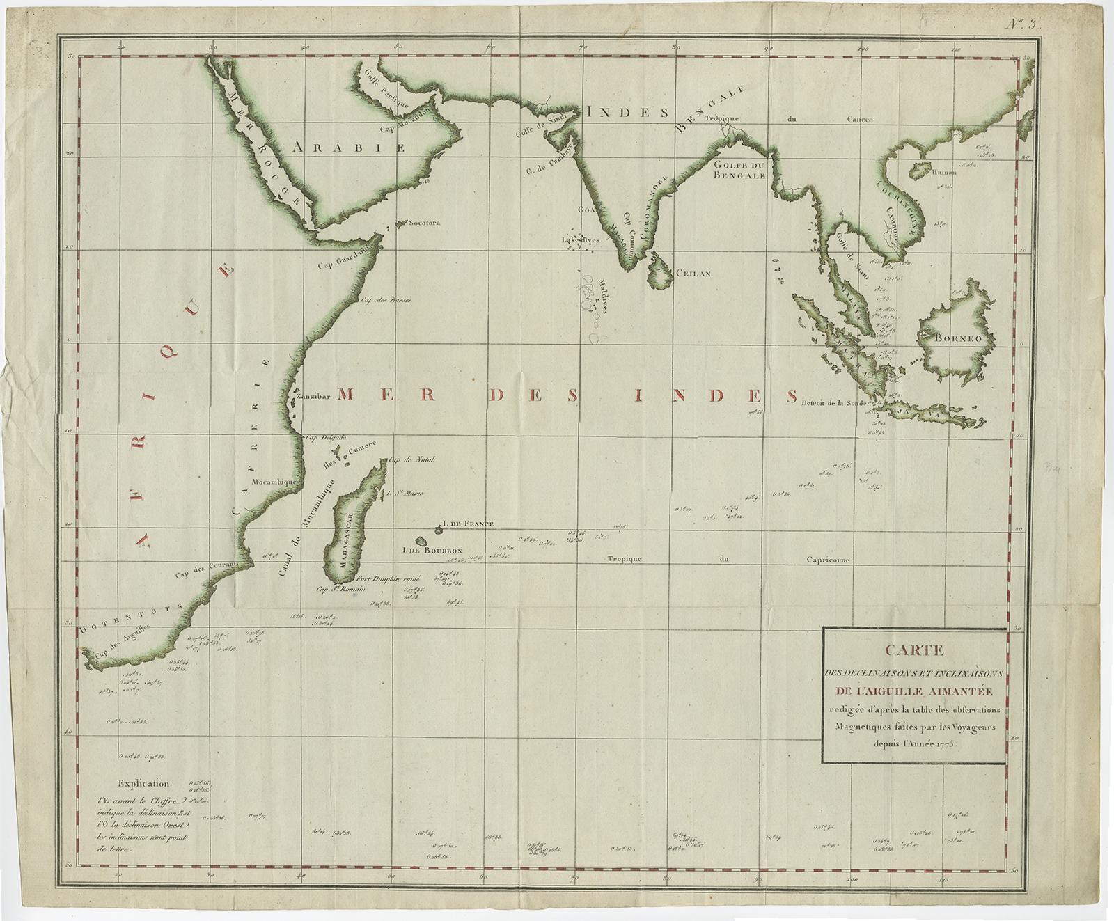
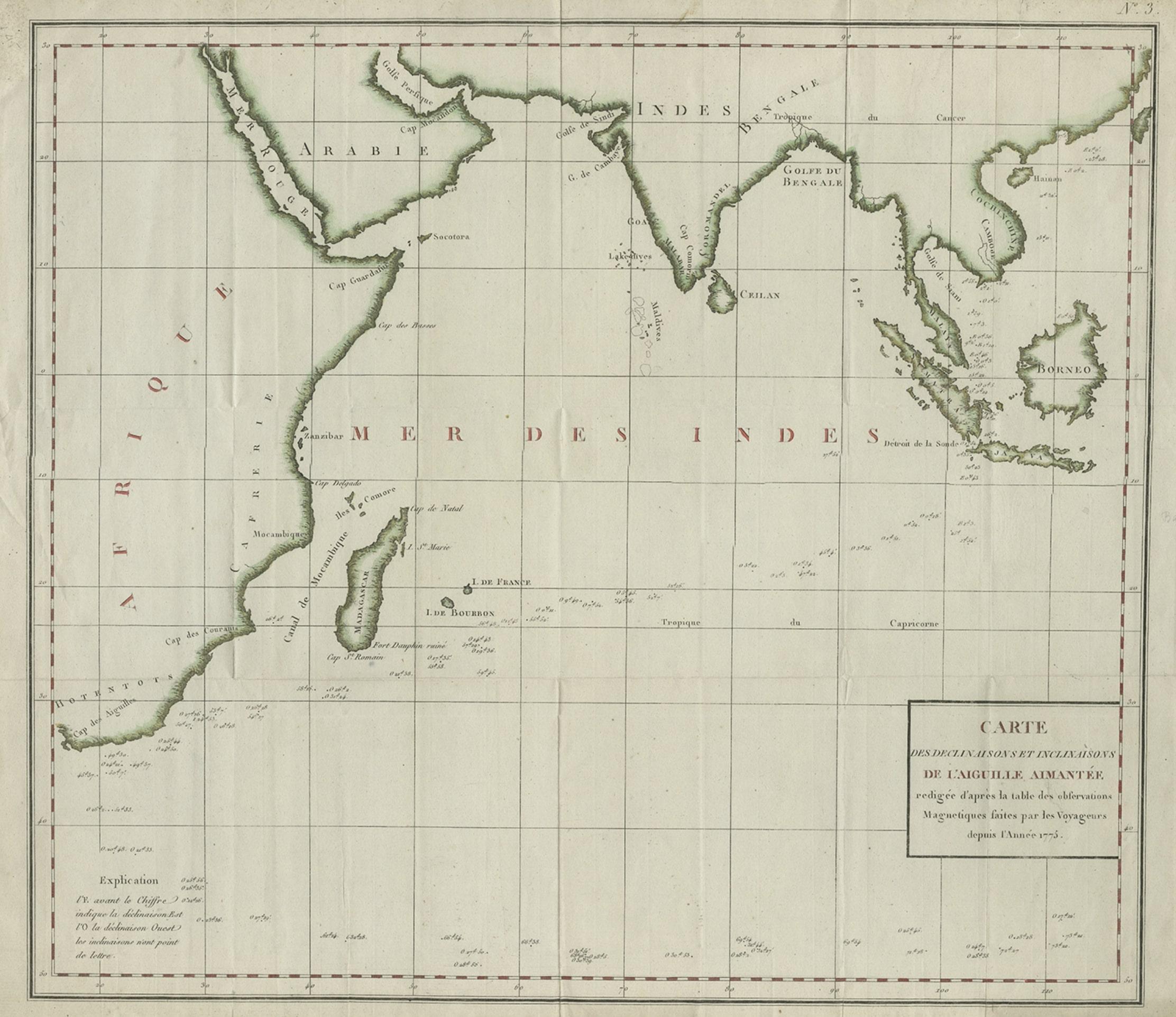
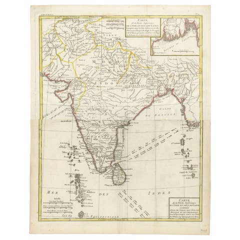
Antique map titled 'Carte des Declinaisons et Inclinaisons de L'Aiguille Aimantée redigée d'après la table des observations Magnetiques faites par les Voyageurs depuis l'Année 1775'.
Beautiful map depicting the Indian Ocean and surroundings including Sumatra, Java, Borneo, India, Arabia, Africa and Madagascar. This map originates from 'Illustrations de Histoire naturelle des minéraux' by Buffon.
Artists and Engravers: Comte de Buffon (September 7, 1707 - April 16, 1788). French naturalist, mathematician, biologist, cosmologist and author. Buffon's views influenced the next two generations of naturalists, including Jean-Baptiste Lamarck and Charles Darwin.
Condition: Very good. General age-related toning, please study image carefully.