Antique Maps of Southern Europe
264 original sheets
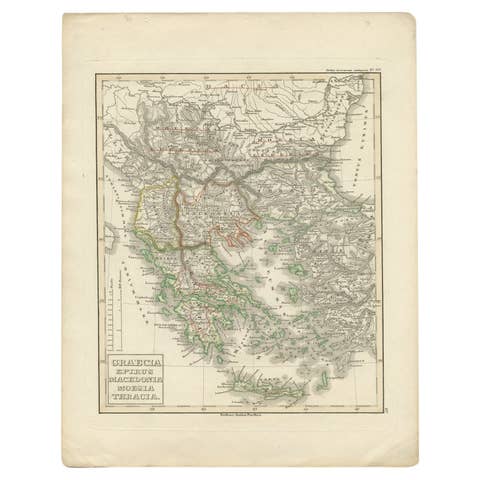
Antique Map of Greece and Macedonia, 1848
1848 · € 250

Antique Engraved Map of Italy in Roman Times, ca.1730
1730 · € 680

Antique Map of Italy, Showing Corsica, Sardinia, Croatia, Malta and More, C.1740
1740 · € 399

Antique Map of Italy with Hand-Colored Borders, 1852
1852 · € 220
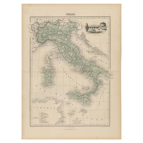
Antique Map of Italy with Vignette of Saint Angu Castle in Rome, 1880
1880 · € 160
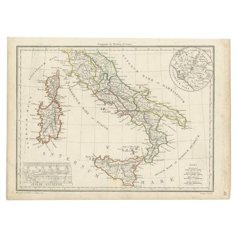
Antique Map of Italy with an Inset of Rome, 1812
1812 · € 160
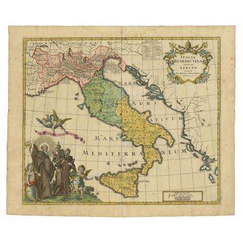
Unusual Benedictine Map of Italy, Showing Various States of the Church, C.1745
1745 · € 1 500
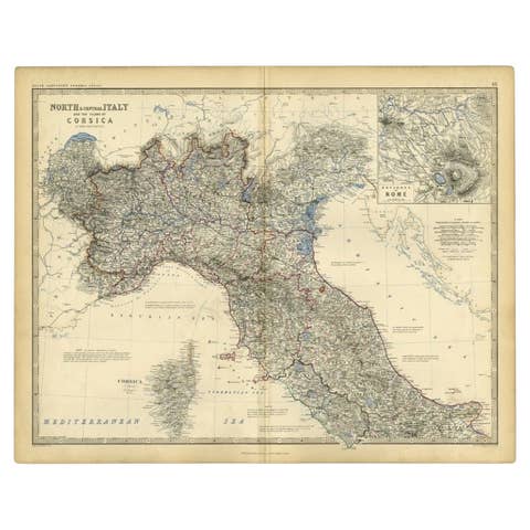
Antique Map of Italy and Corsica, c.1860
1860 · € 110

Antique Map of Italy and Corse in Ancient Times, 1848
1848 · € 260

Antique Map of Iberia or the Iberian Peninsula with Portugal and Spain, 1842
1842 · € 340
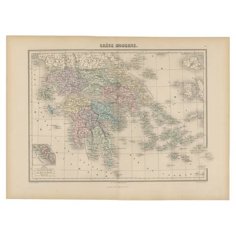
Antique Map of Greece from an Old French School Atlas, 1880
1880 · € 110
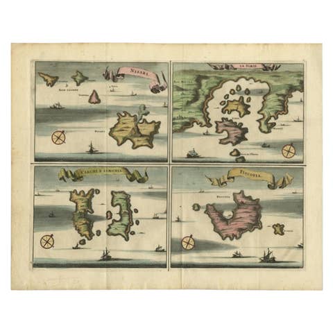
Antique Map of Nisari, Le Simie, Carchi Elimoia and Piscopia, Greece, 1687
1687 · € 420
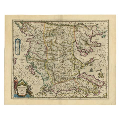
Antique Map of Macedonia by the Famous Mapmaker Blaeu, c.1650
1650 · € 1 150

Original Antique Map of Leros and Kalimnos, and other islands, Greece, 1687
1687 · € 550
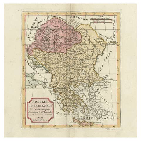
Old Engraved Map of Hungary, European Balkan Countries, Greece and Crete, 1806
1806 · € 450
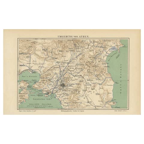
Antique Map of the Region of Athens from a German Atlas of 1893
1893 · € 85

Antique Map of Italy from an Old French Atlas, 1842
1842 · € 330
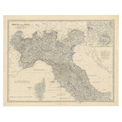
Antique Map of North and Central Italy and the Island of Corsica, c.1860
1860 · € 310
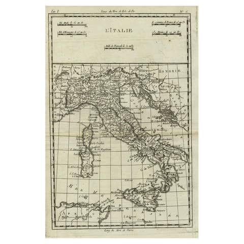
Antique Map of Italy, Corsica, Sardinia and Sicily, ca.1780
1780 · € 320
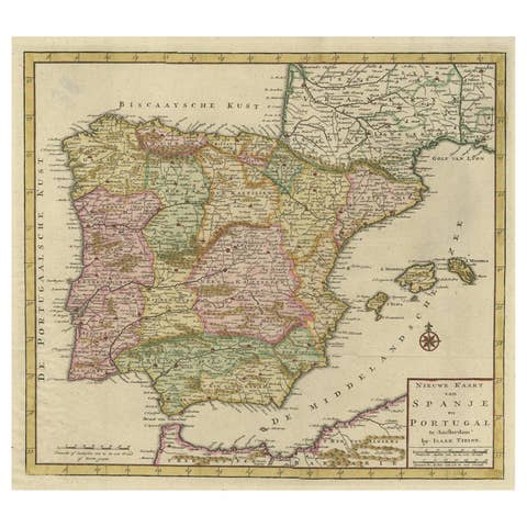
Attractive Engraved Old Map Showing Spain, Portugal Majorca, Ibiza etc. ca.1760
1760 · € 700

Old Map of the Balkans Incl Greece, Turkey, Serbia, Montenegro, Bulgaria, C.1900
1900 · € 560

Old Antique Colorful Decorative Map of Northern Italy, 1846
1846 · € 220
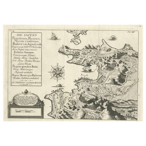
Old Original Map of Pozzuoli Near Naples in the Campania Region, Italy, ca.1740
1740 · € 350
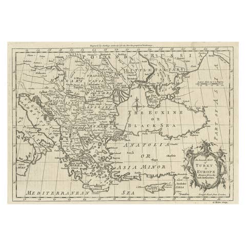
Map of the Ottoman Empire in Europe, incl. the Balkans, Greece & Turkey, c.1760
1760 · € 380

Beautiful Old Map of Spain and Portugal With Decorative Title Cartouche, ca.1740
1740 · € 1 200
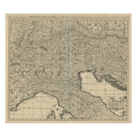
Antique Map Covering Northern Italy, Austria, Slovenia & Croatia, ca.1690
1690 · € 750
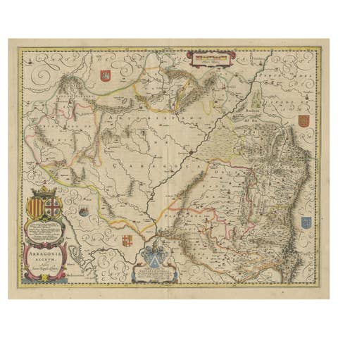
Detailed Antique Map of Northern Spanish Region of Aragon, c.1650
1650 · € 1 150
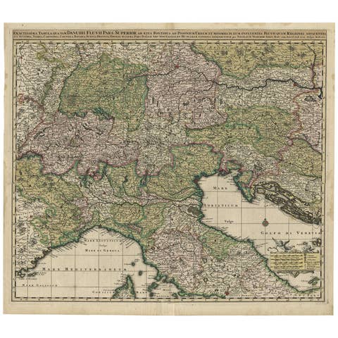
Finely Detailed Map Covering Northern Italy, Austria, Slovenia & Croatia, c.1690
1690 · € 1 850
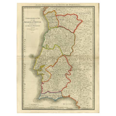
Engraved Large Map of The Kingdom of Portugal Original Handcolored, 1854
1854 · € 1 100
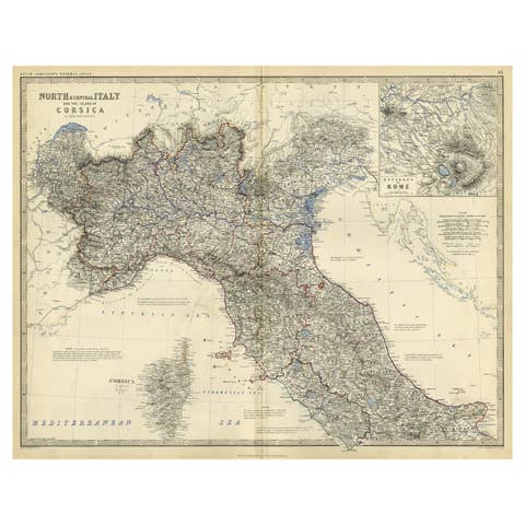
Old Colore Map of North & Central Italy & Corsica with an Inset of Rome, c.1860
1860 · € 290
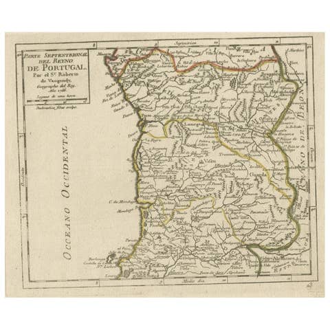
Antique Hand-Colored Map of Northern Portugal, 1756
1756 · € 180
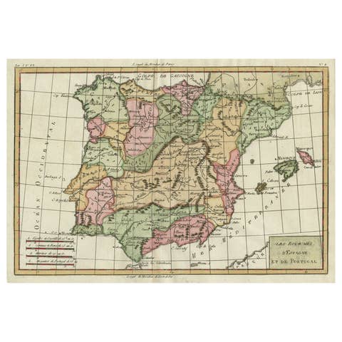
Map of Spain & Portugal Incl. the islands of Ibiza, Minorque & Majorque, 1780
1780 · € 350
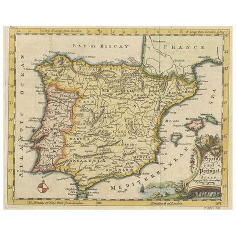
Antique Map of Spain & Portugal 'Iberian Peninsula', Decorative Cartouche, c1755
1755 · € 240
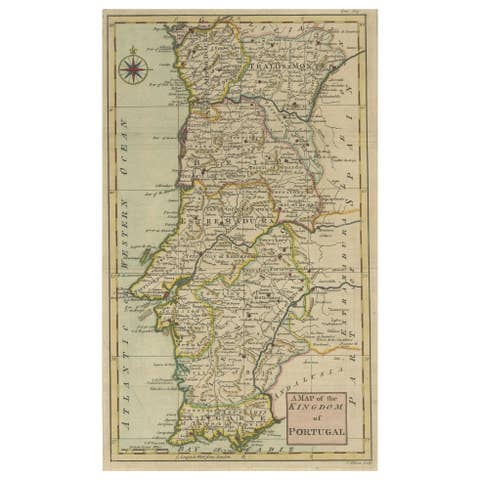
Detailed Antique Map of Portugal, Published for the 'Gentleman's Magazine', 1758
1758 · € 250

Antique Map of Spain and Portugal by Pierre M. Lapie, 1842, Wall Art
1842 · € 370
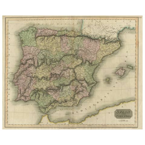
Antique Colorful Antique Map of Spain and Portugal, 1815
1815 · € 290
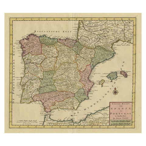
Detailed Old Map showing Spain and Portugal Incl. Majorca, Minorca & Ibiza, 1740
1740 · € 520
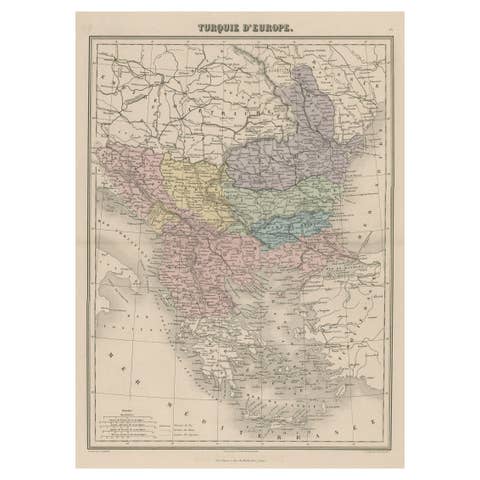
Antique Map of Moldova to Thessaly and from the Adriatic to the Black Sea, 1880
1880 · € 140
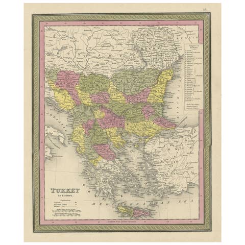
Old Colorful Decorative Map of Turkey in Europe, 1846
1846 · € 230
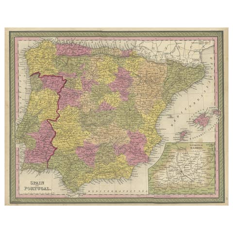
Old Map of Spain and Portugal, with an Inset Map of the Region of Madrid, 1846
1846 · € 220
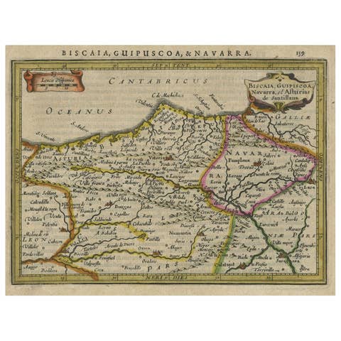
Charming Map of Northeastern Spain with the Areas of Pamplona & Valladolid, 1634
1634 · € 440
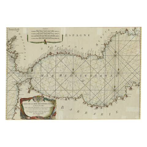
Large Decorative Antique Map of the Mediterranean, ca.1770
1770 · € 1 140
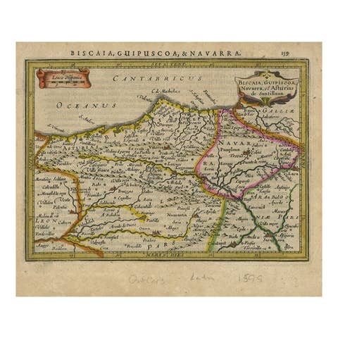
Antique Map of Northeastern Spain by Mercator, 1634
1634 · € 139
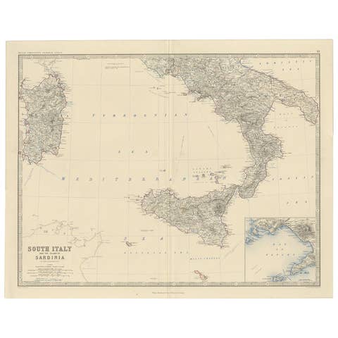
Map of Southern Italy inlcluding Sardinia and Inset of the Bay of Naples, c.1860
1860 · € 340
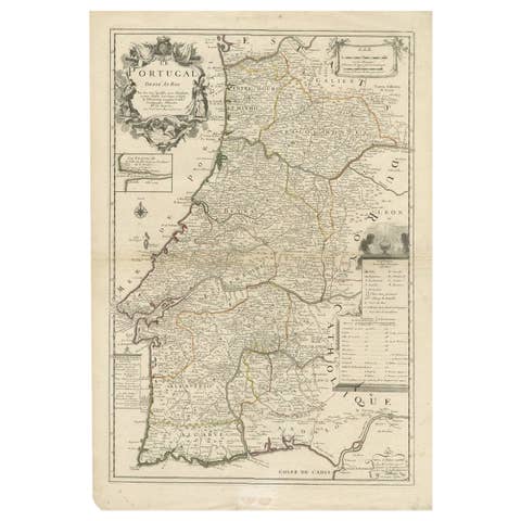
Antique Map of Portugal by Placide, c.1700
1700 · € 380
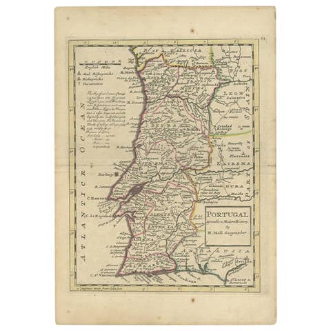
Antique Map of Portugal by Moll, 1727
1727 · € 198
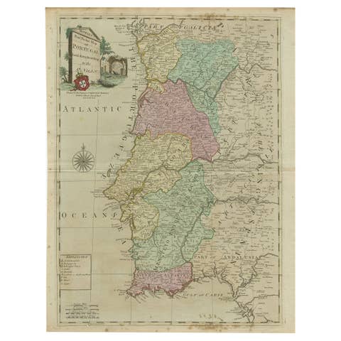
18th Century Portugal Original Antique Engraving by Bowles
€ 445

Antique Map of Northwest Italy by Cluver, 1685
1685 · € 115