Maps & PrintsBartele Gallery · Langweer
Home / Antique Maps / Europe / Southern Europe

Southern Europe · 18th century

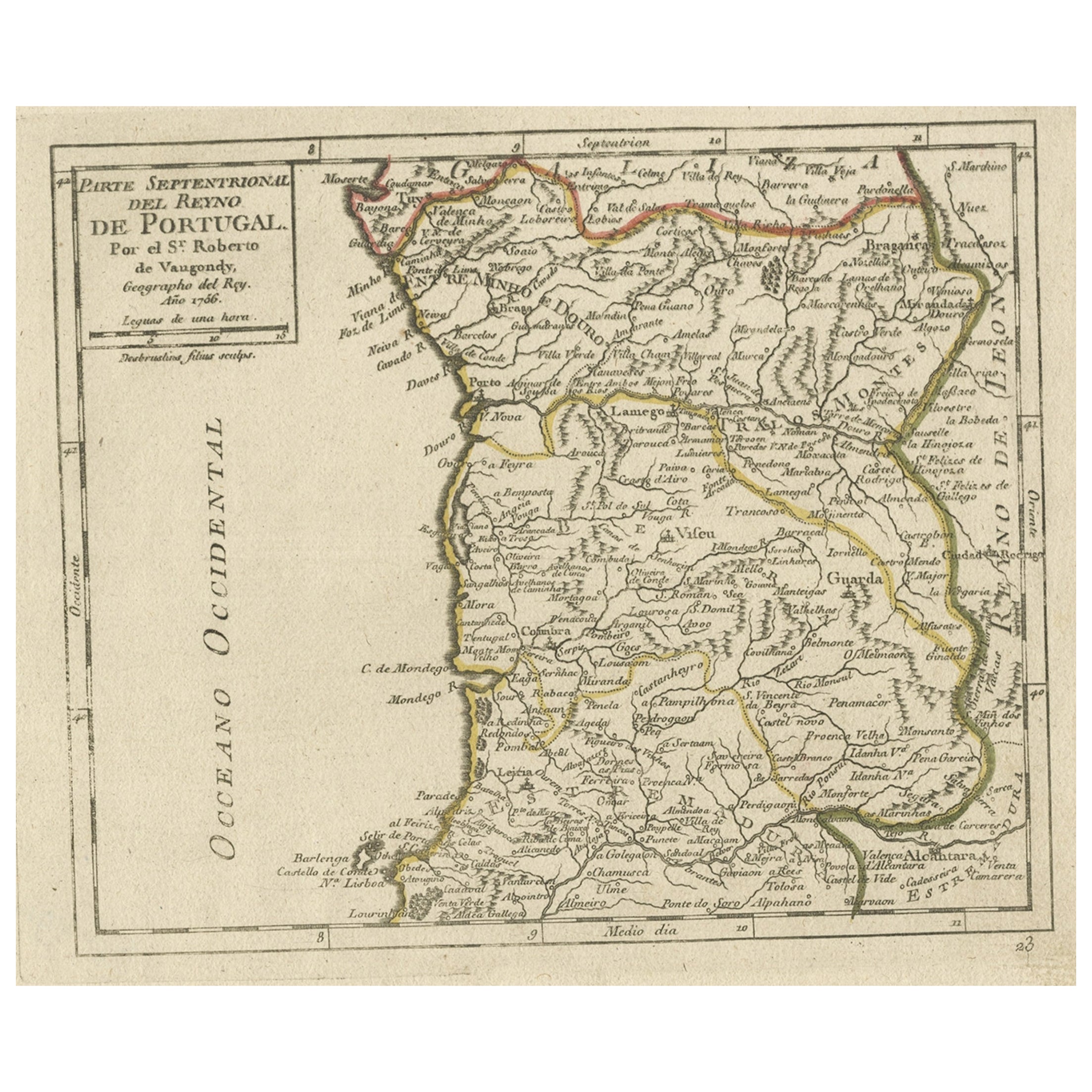
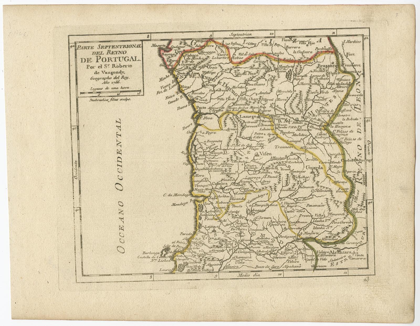
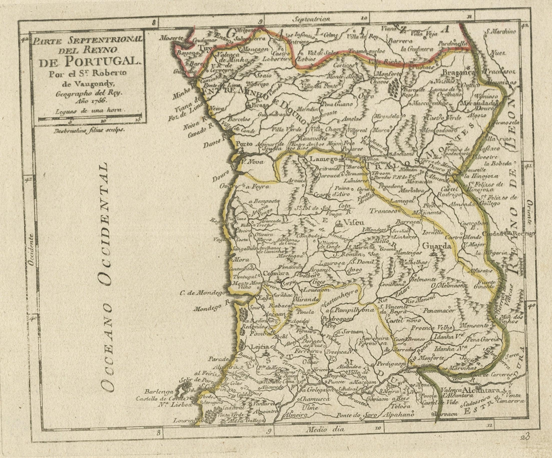
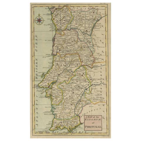
Antique Hand-Colored Map of Northern Portugal, 1756

€ 180

Original antique · The actual sheet photographed · Certificate of authenticity on request · Sold unframed · Worldwide shipping from € 15 (rates)

Date
1756
Sheet size
20.5 × 26 cm (8.1 × 10.2 in)
Reference
BG-09406

Condition

Very good, general age-related toning. Original/contemporary hand coloring. Please review the images for further condition details.
About this sheet

Antique map Portugal titled 'Parte Sepentrional del Reyno de Portugal'.

Antique map of Northern Portugal. This map originates from 'Atlas Portatif'.

Artists and Engravers: Didier Robert de Vaugondy (ca. 1723-1786) was the son of prominent geographer Gilles Robert de Vaugondy and Didier carried on his father’s impressive work.

Condition: Very good, general age-related toning. Original/contemporary hand coloring, please study image carefully.

More from Southern Europe

Ask about this sheet

Antique Hand-Colored Map of Northern Portugal, 1756
1756 · Ref. BG-09406 · € 180
We reply by email, usually within one working day.