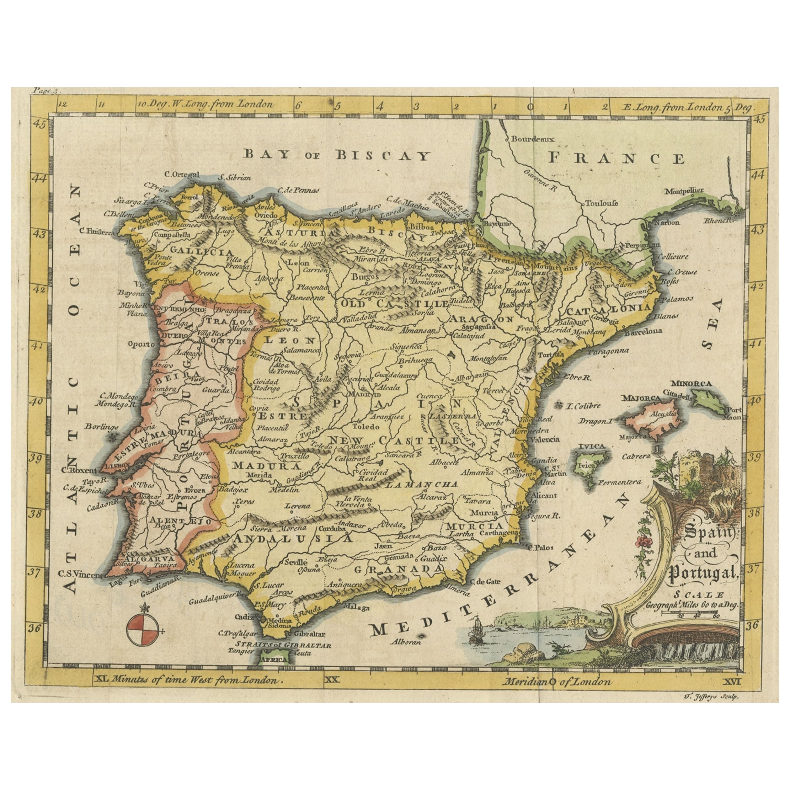
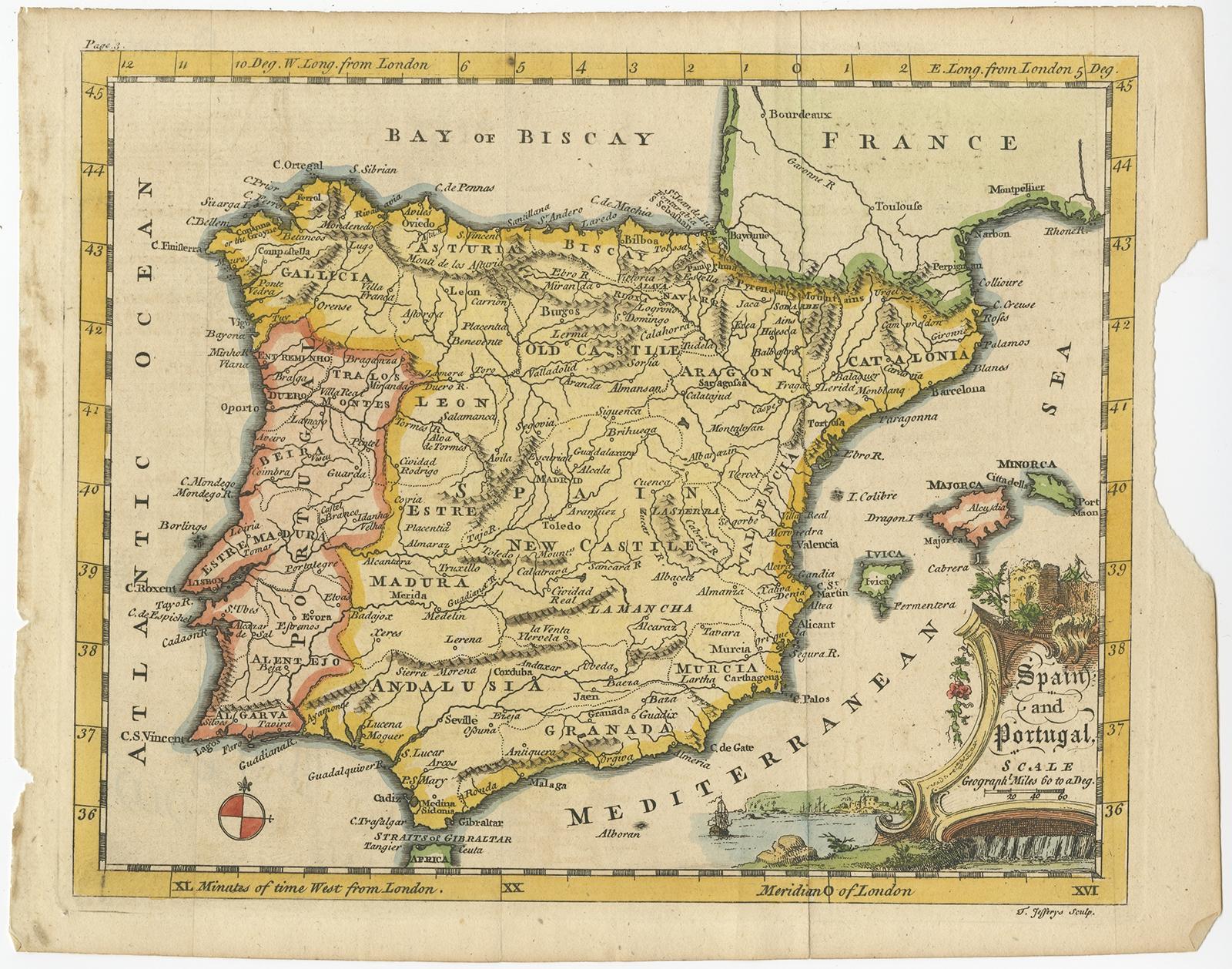
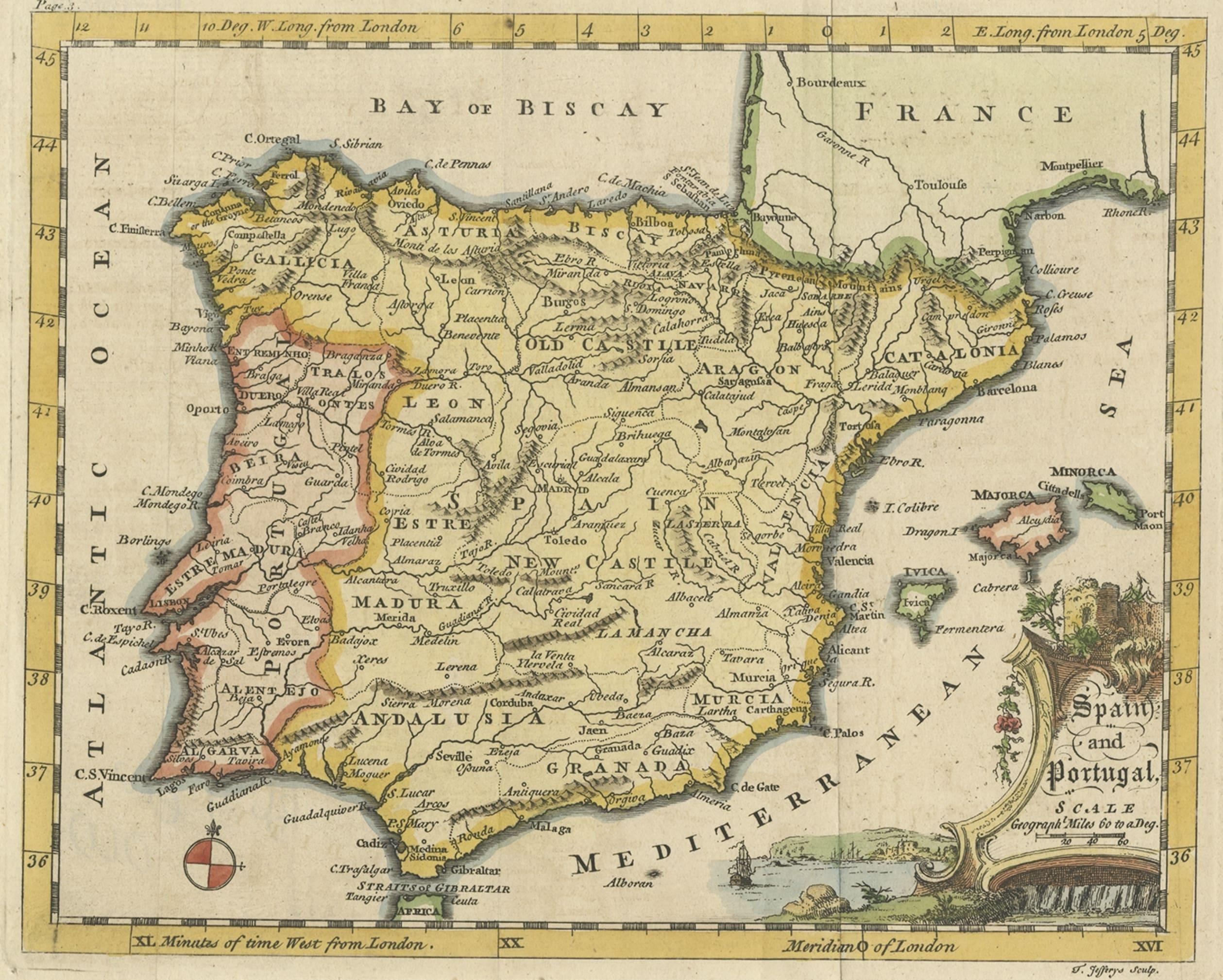
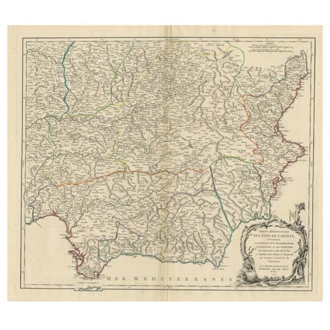
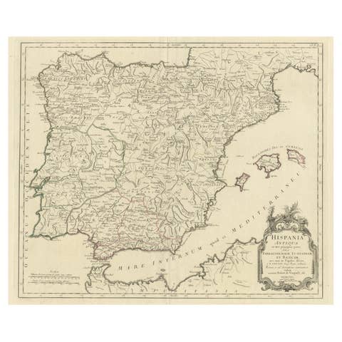
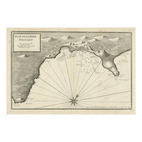
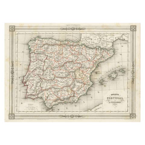
Antique Map of Spain & Portugal 'Iberian Peninsula', Decorative Cartouche, c1755
€ 240
One of a kind: this is the sheet in the photographs. Ships from Langweer, the Netherlands.
Sheet size
20 × 25 cm (7.9 × 9.8 in)
Reference
BG-09321
Condition
Very good, but structural damages outside image border, luckily leaving the image intact for framing. Please study image carefully.
About this sheet
Antique map titled 'Spain and Portugal'.
Small, detailed antique map of Spain and Portugal (Iberian Peninsula). Decorative title cartouche.
Artists and Engravers: Thomas Jefferys (c.1719 - 1771), "Geographer to King George III", was an English cartographer who was the leading map supplier of his day. He engraved and printed maps for government and other official bodies and produced a wide range of commercial maps and atlases, especially of North America.
Condition: Very good, structural damages outside image border, luckily leaving the image intact for framing. Please study image carefully.