About this sheet
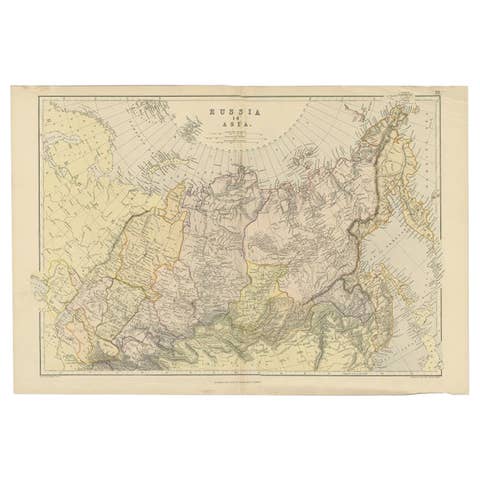
Antique Map Russia in Europe, Bartholomew for Black’s General Atlas 1884
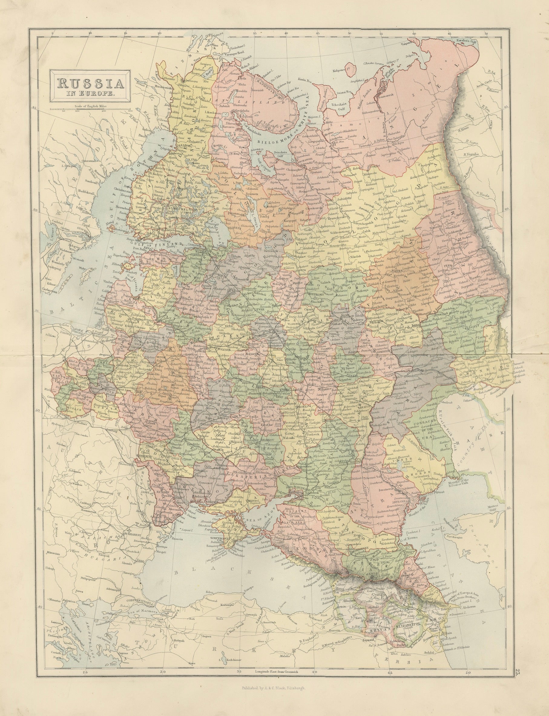
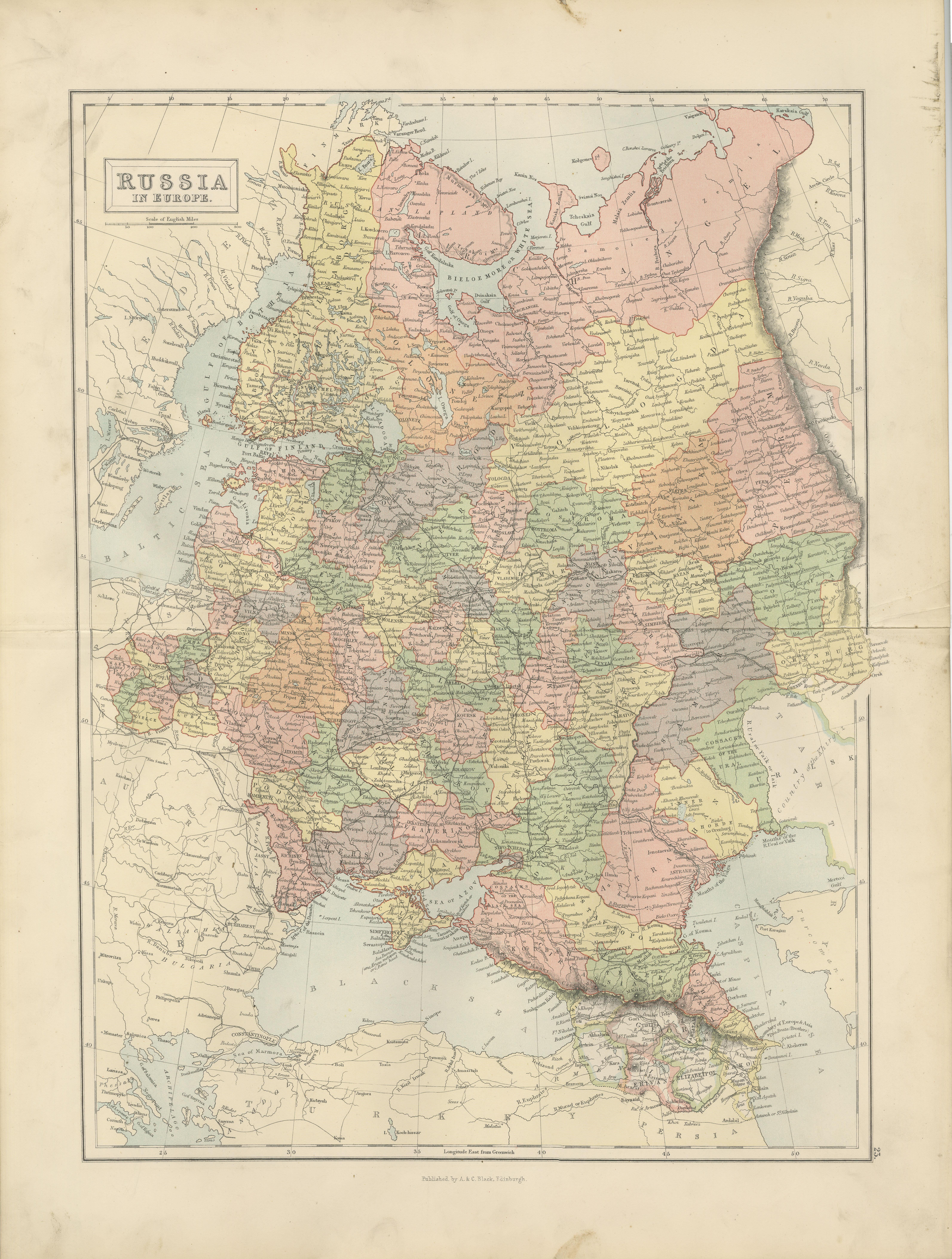
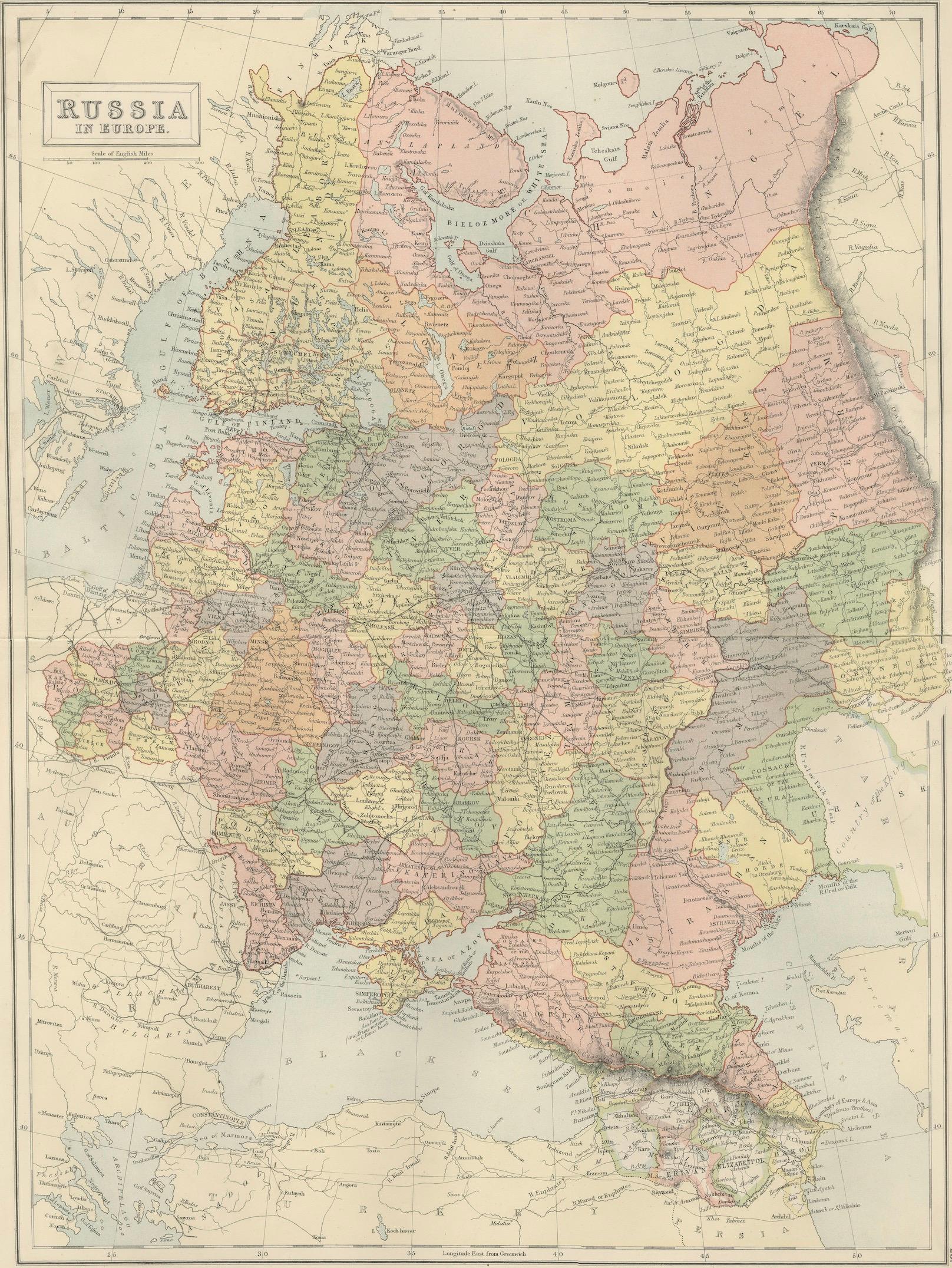
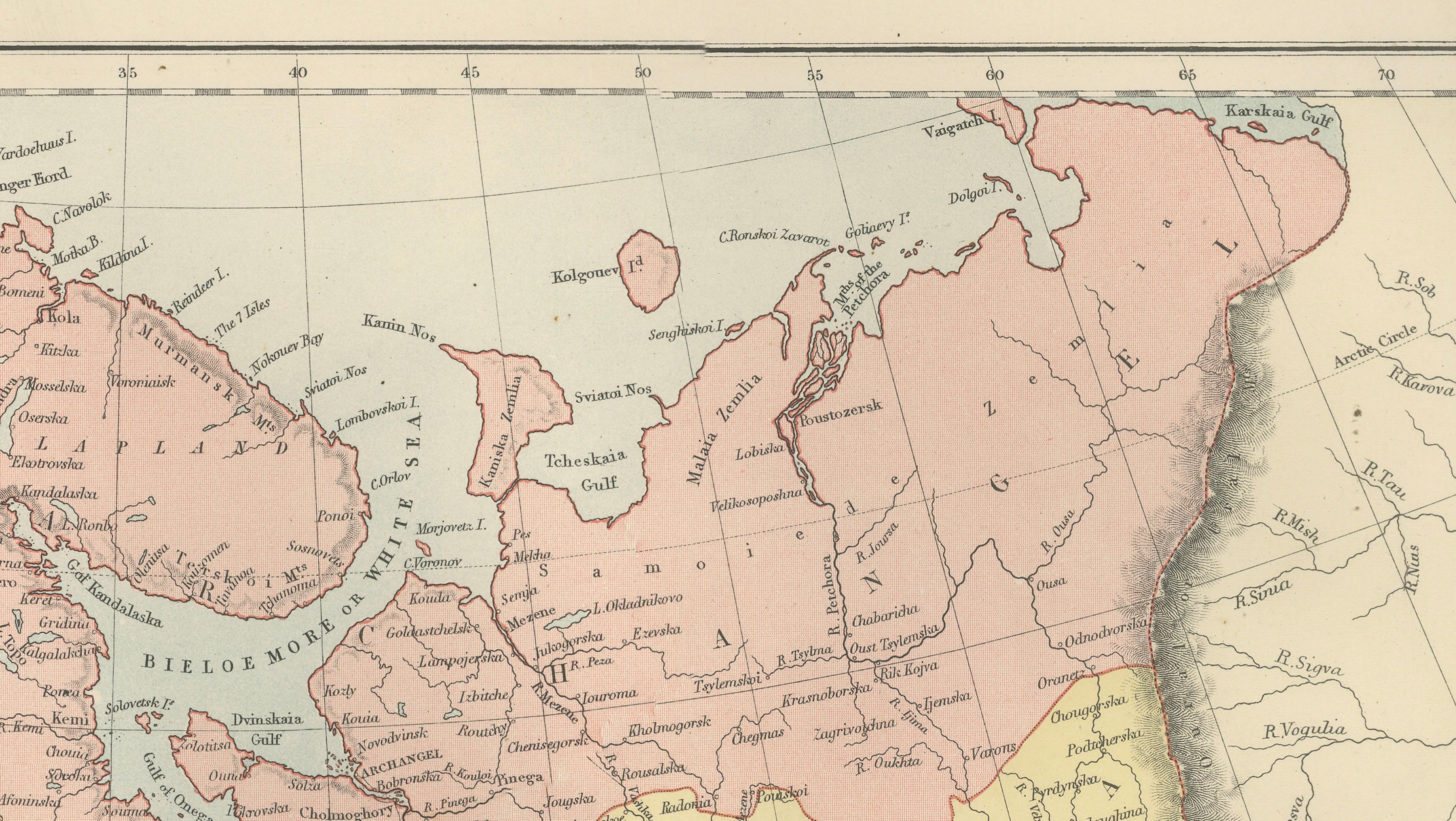
This detailed map titled “Russia in Europe” was published in the New and Revised Edition of Black’s General Atlas of the World, issued in Edinburgh in 1884 by the respected Scottish publisher A. & C. Black. The map was produced under the direction of the influential cartographer John Bartholomew, whose work set new standards for clarity and accuracy in nineteenth-century atlas cartography.
John Bartholomew was among the most respected mapmakers of the Victorian period. His atlases for A. & C. Black combined scientific geographic information with refined engraving and carefully printed color, creating maps that were both educational and visually elegant. Black’s General Atlas became widely used across Europe and the British Empire and remains an important example of late nineteenth-century cartographic production.
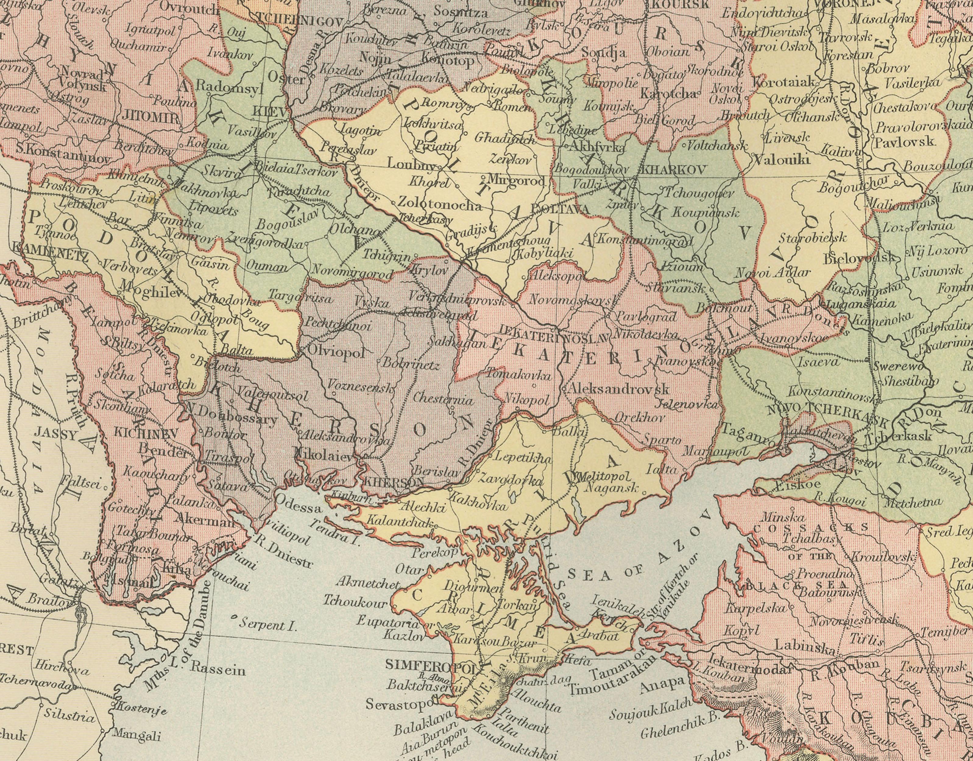
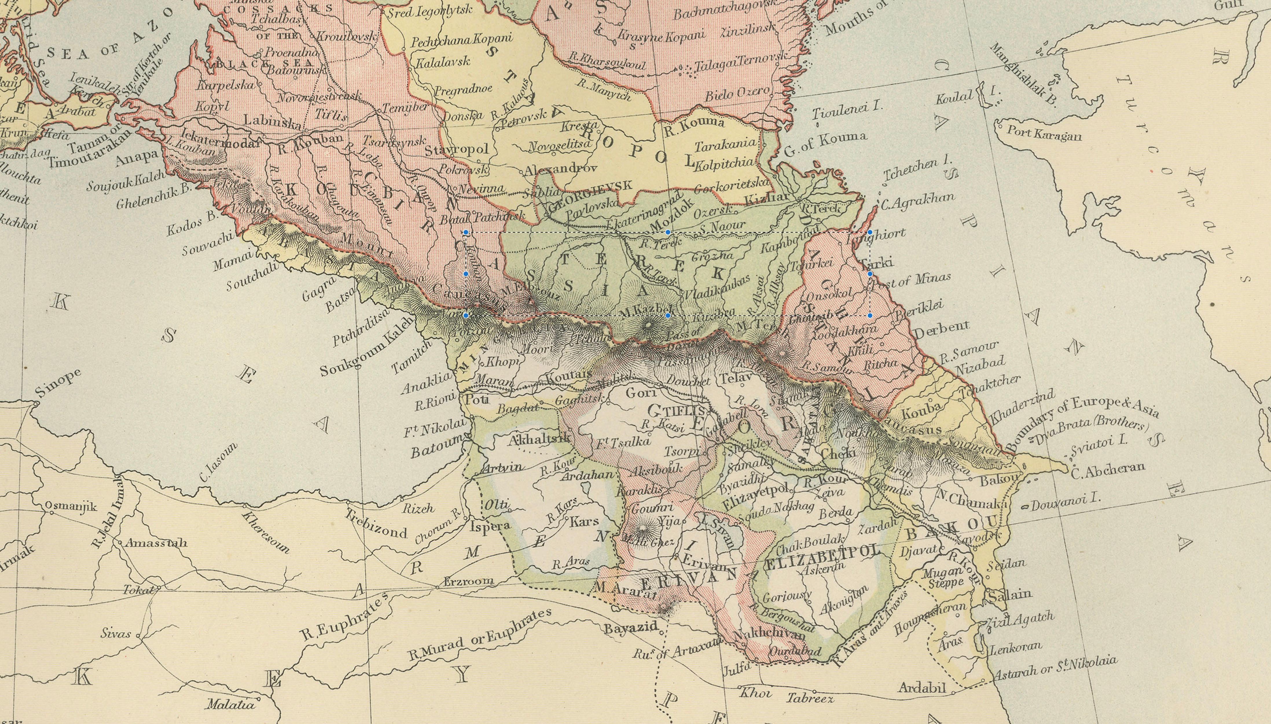
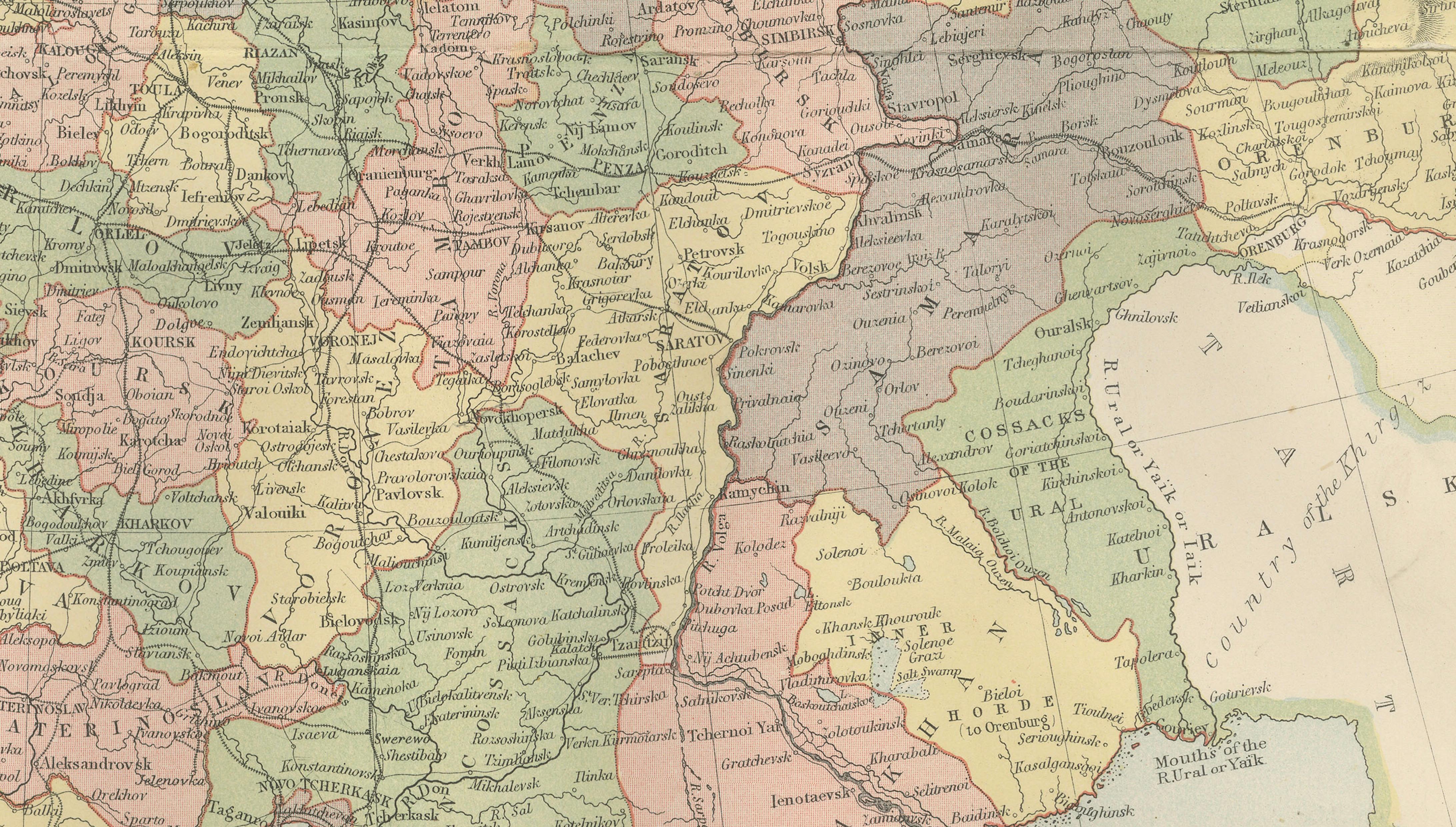
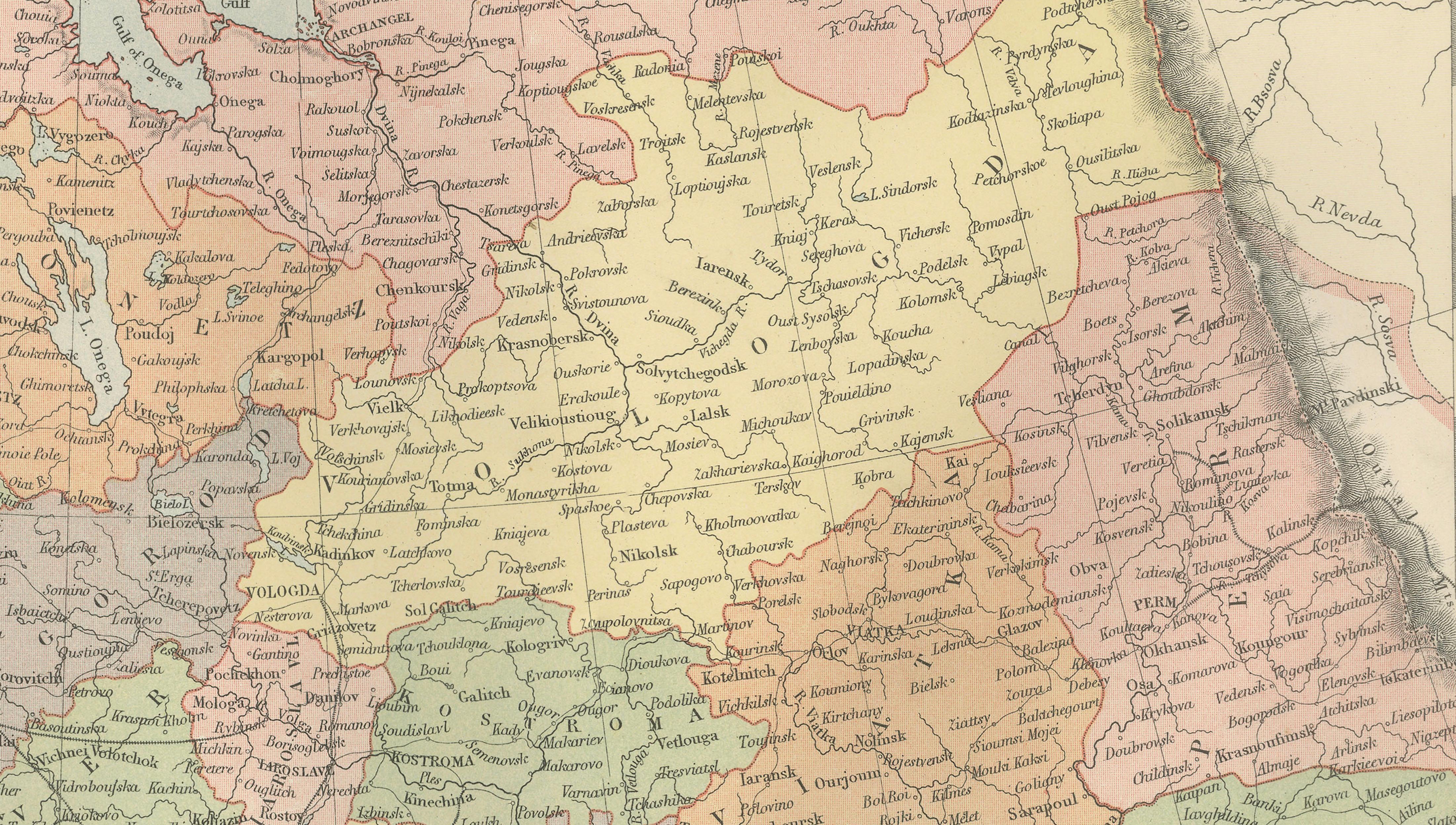
The map presents the western portion of the Russian Empire, often referred to historically as “European Russia.” It stretches from the Baltic Sea and Finland in the northwest across the vast plains of Russia toward the Ural frontier in the east. The map also includes neighboring regions such as Poland, the Baltic provinces, parts of the Caucasus, and territories bordering the Black Sea.
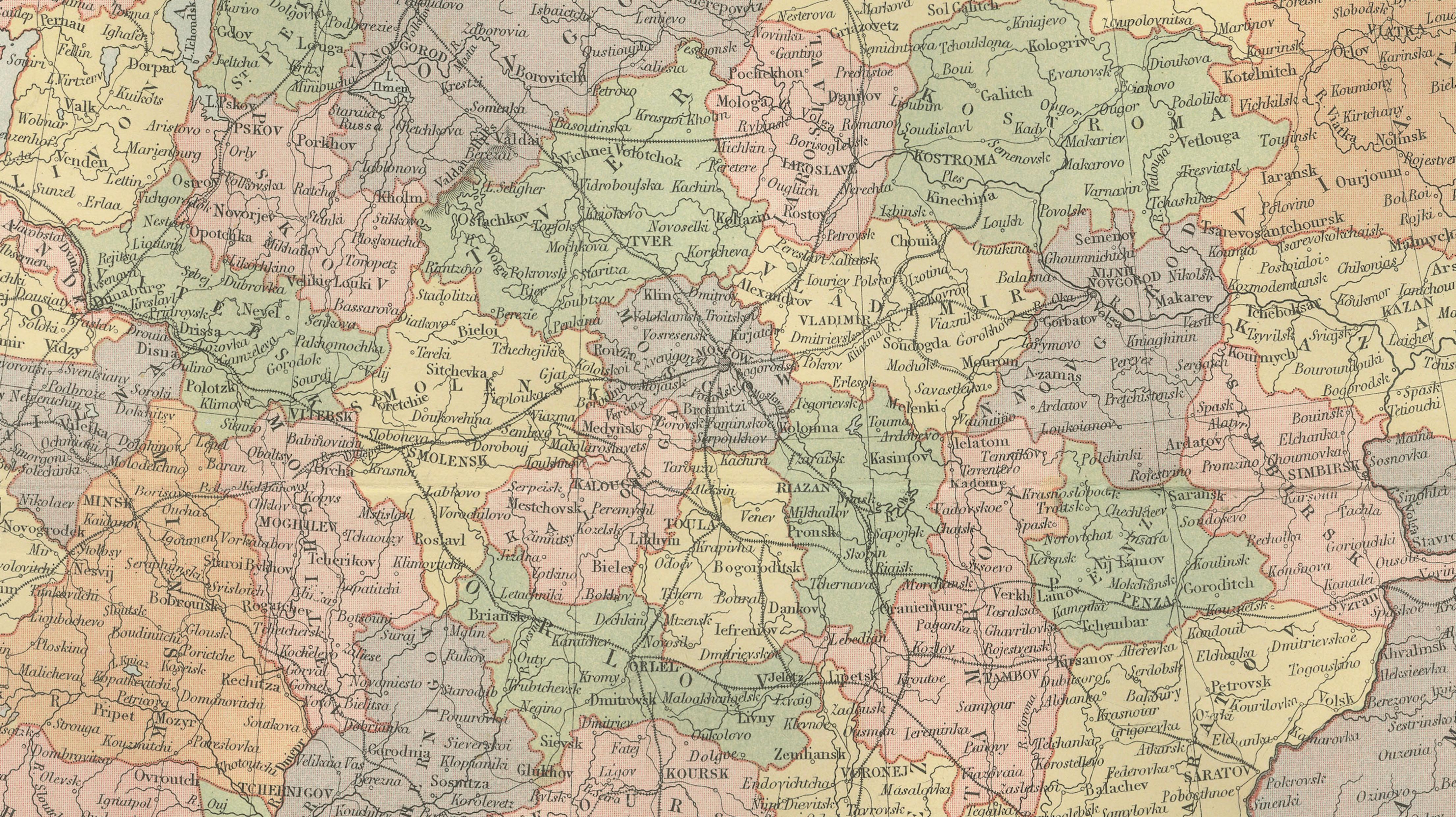
Administrative divisions within the Russian Empire are carefully distinguished through printed color and patterned overlays, reflecting the complex provincial structure of the empire during the late nineteenth century. Numerous cities, rivers, and geographic features are engraved in fine detail. Major urban centers such as St. Petersburg, Moscow, Kiev, Riga, and Odessa appear prominently, while a dense network of smaller towns and settlements is also recorded.
The Baltic region, including Finland and the Gulf of Finland, is clearly shown in the north. To the south the map includes the Black Sea coastline and the Crimean Peninsula, an area of great strategic importance during the nineteenth century. The Caucasus Mountains appear at the southern edge of the map, marking the frontier between Russia and the Ottoman and Persian spheres of influence.
Throughout the map, rivers such as the Volga, Dnieper, and Don are carefully engraved, illustrating the important waterways that historically connected trade and settlement across the Russian plains. Mountain ranges, coastlines, and provincial boundaries are rendered with precision, creating a highly informative geographic document of the Russian Empire at its height.
Because it originates from a major Victorian atlas, the map combines scholarly geographic information with a refined decorative appearance. The clear engraving and printed color make it both historically significant and visually attractive. As such, it is an excellent example of nineteenth-century European cartography and a compelling addition for collectors of antique maps or those interested in the history of Russia and Eastern Europe.
Condition:
Good antique condition. Light age toning and minor handling wear consistent with age. Original center fold visible as issued in the atlas. The printed colors remain clear and well preserved.
Framing tips:
This map frames beautifully with a generous ivory or museum-white mat and a dark walnut or ebonized frame. Its balanced rectangular composition makes it particularly suitable for display in studies, libraries, or classic interiors where historical maps create a refined visual focal point.
Technique: engraving with printed color
Maker: J. Bartholomew for A. & C. Black, Edinburgh, 1884
Keywords
Russia in Europe, antique map Russia, Russia map 1884, Bartholomew map Russia, Black’s General Atlas, Russian Empire map, European Russia map, historical map Russia, Victorian map Russia, Eastern Europe map, St Petersburg, Saint Petersburg, Moscow, Kiev, Riga, Odessa, Warsaw, Baltic Sea, Finland, Gulf of Finland, Baltic provinces, Crimea, Black Sea, Caucasus, Volga River, Dnieper River, Don River, Russian Empire provinces, 19th century cartography, imperial Russia map