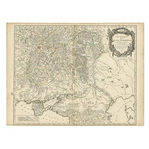
Historic Map of Poland and Lithuania – Tirion Edition c.1740
€ 770
Original antique · The actual sheet photographed · Certificate of authenticity on request · Sold unframed · Worldwide shipping from € 15 (rates)
Date
1740
Sheet size
41.6 × 50.5 cm (16.4 × 19.9 in)
Condition
Excellent
Reference
BG-14031-2
What the condition grades mean
Excellent
Bright and clean, with no faults worth mentioning.
Very good
Only light signs of age, such as faint toning.
Good
Normal signs of age for a sheet of this period: toning, some foxing, small marks or neat old repairs.
Fair
Clear faults such as staining, tears or repairs, priced to match.
Every fault we see is written in the condition note, and the whole sheet is shown uncropped in the photos.
Condition
This antique map is in excellent condition with wide margins, strong plate impression, and fresh original hand color. Very minimal foxing or age toning is visible, and the sheet remains clean and structurally sound. No tears or repairs are present.
About this sheet
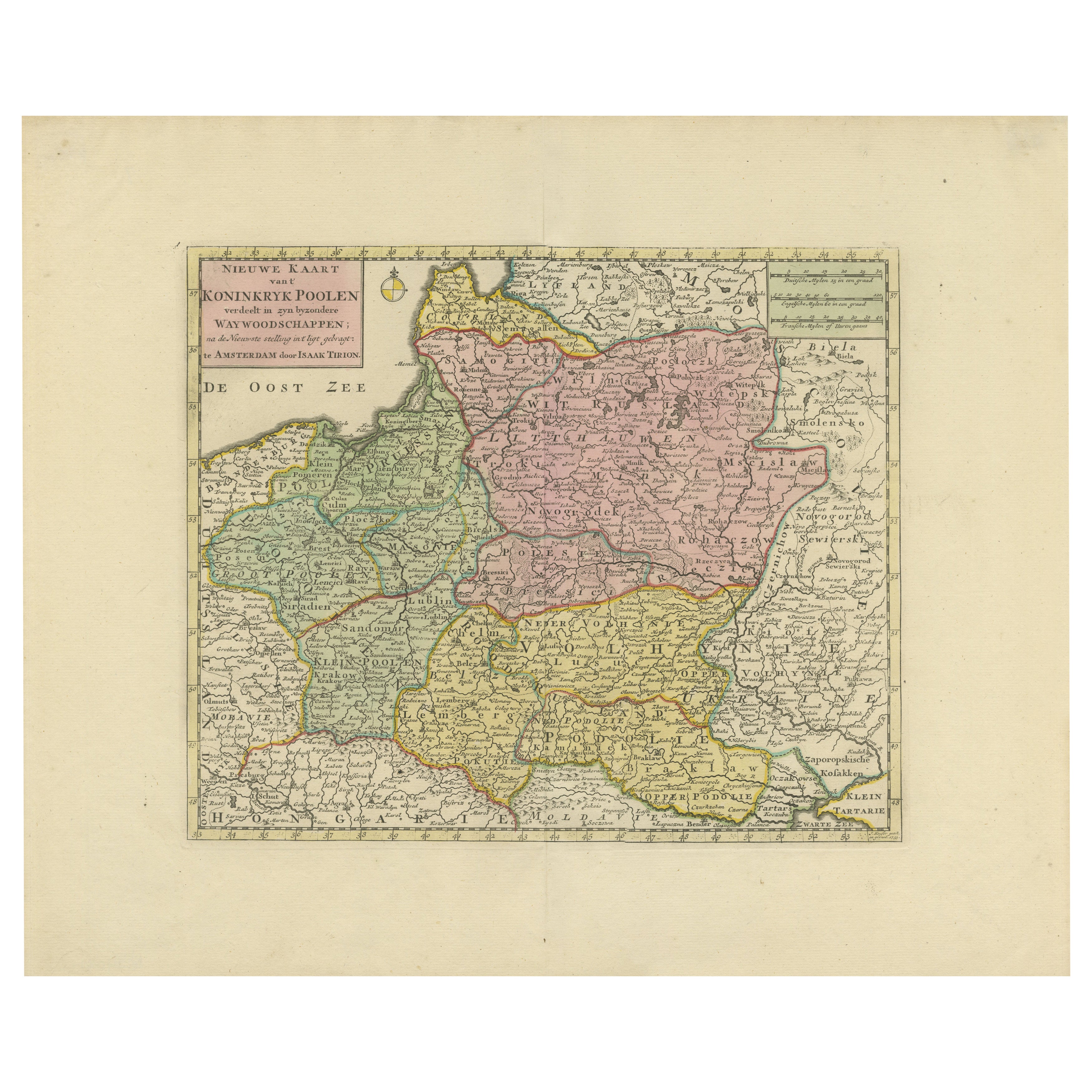
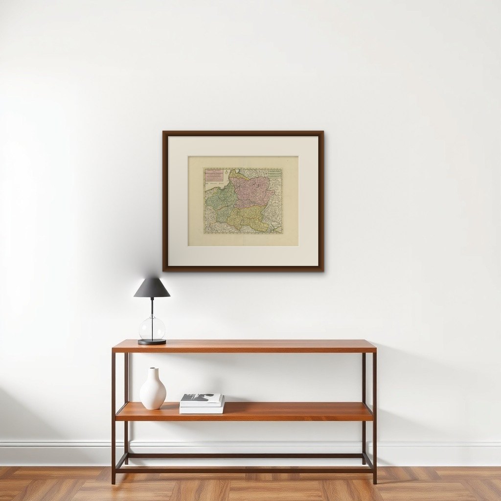
Poland Map 1740s – Nieuwe Kaart van het Koninryk Poolen by Isaak Tirion
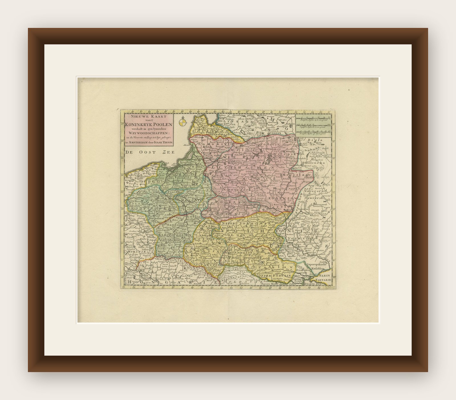
This finely engraved and attractively hand-colored map of the Kingdom of Poland was published by Isaak Tirion in Amsterdam in the mid-18th century, likely around the 1740s. Titled in Dutch as 'Nieuwe Kaart van het Koninryk Poolen', the map presents an accurate and beautifully detailed rendering of Poland and its constituent voivodeships (Way-woodschaappen), as they existed prior to the partitions that would later redefine the region.
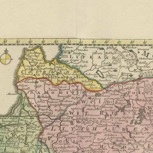
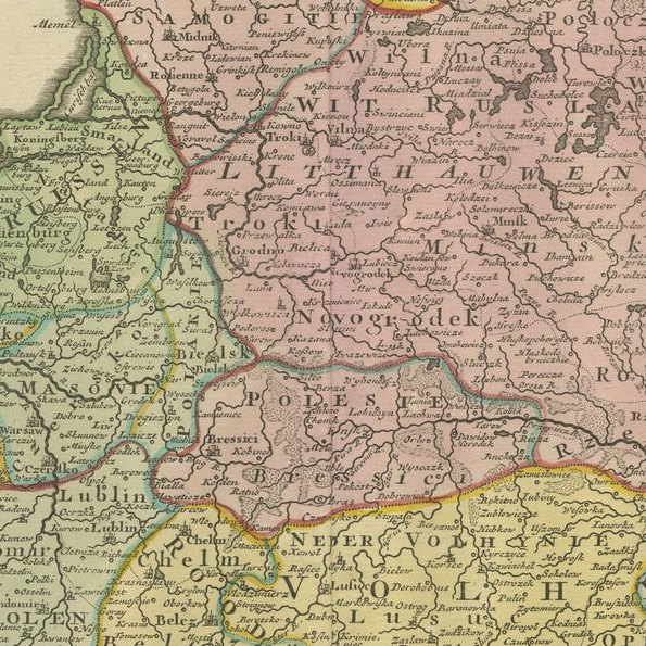
The map shows the eastern territories of the Polish–Lithuanian Commonwealth, including areas of modern-day Poland, Lithuania, Belarus, and western Ukraine. Political boundaries are clearly delineated in original outline color, with provinces shaded in soft pastels—pink, green, yellow, and blue—allowing the viewer to distinguish between major regions such as Lithuania, Mazovia, and Podolia. The map is densely engraved with towns, rivers, mountain ranges, and forests, reflecting the high standard of geographic accuracy for which Tirion was renowned.
The title cartouche in the upper left corner is both informative and elegant, printed in Dutch and emphasizing the map’s reliability and use of the latest sources available at the time. Isaak Tirion (1705–1765) was a prominent Amsterdam-based publisher whose atlases and historical works remain prized for their craftsmanship and clarity. This map appeared in his 'Hedendaagsche Historie' or 'Nieuwe en Beknopte Hand-Atlas'.
This antique map is in excellent condition with wide margins, strong plate impression, and fresh original hand color. Very minimal foxing or age toning is visible, and the sheet remains clean and structurally sound. No tears or repairs are present.
Framing Tips: This historic map is well suited for framing in a simple, narrow black or gold moulding to match its cartographic elegance. A soft cream or pale beige mat will complement the pastel tones while keeping the focus on the detail. Ideal for a study, library, or office, this map is a refined collector’s item for those interested in Polish or Eastern European history.