Antique Maps of Europe
1,158 original sheets
Western Europe 1908Northern Europe 146Central Europe 88Eastern Europe 102South-East Europe 135Southern Europe 275Europe as a Whole 169
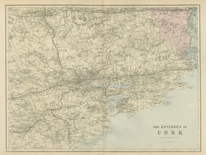
Antique Map of the Environs of Cork with its Harbor and Islands, 1885
1885 · € 290
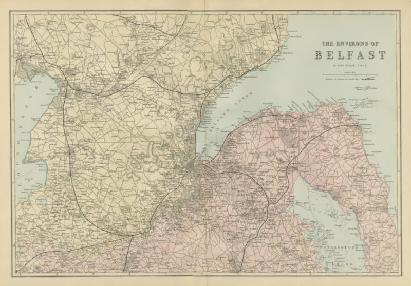
Antique Map of the Environs of Belfast and Belfast Lough, 1885
1885 · € 310
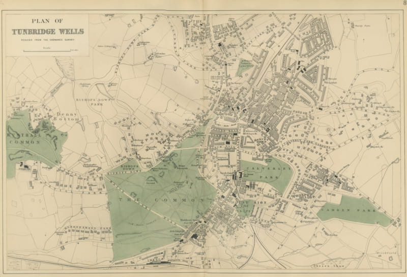
Antique Town Plan of Tunbridge Wells with the Common and its Parks, 1885
1885 · € 305
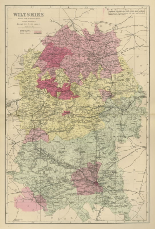
Antique Map of Wiltshire with Salisbury and its Parliamentary Divisions, 1885
1885 · € 295
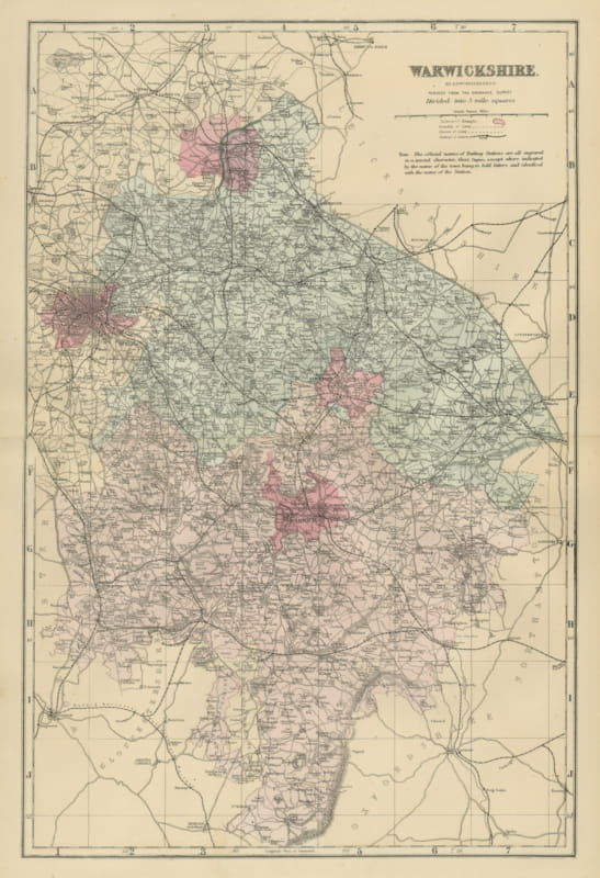
Antique Map of Warwickshire with Birmingham, Coventry and Warwick, 1885
1885 · € 295
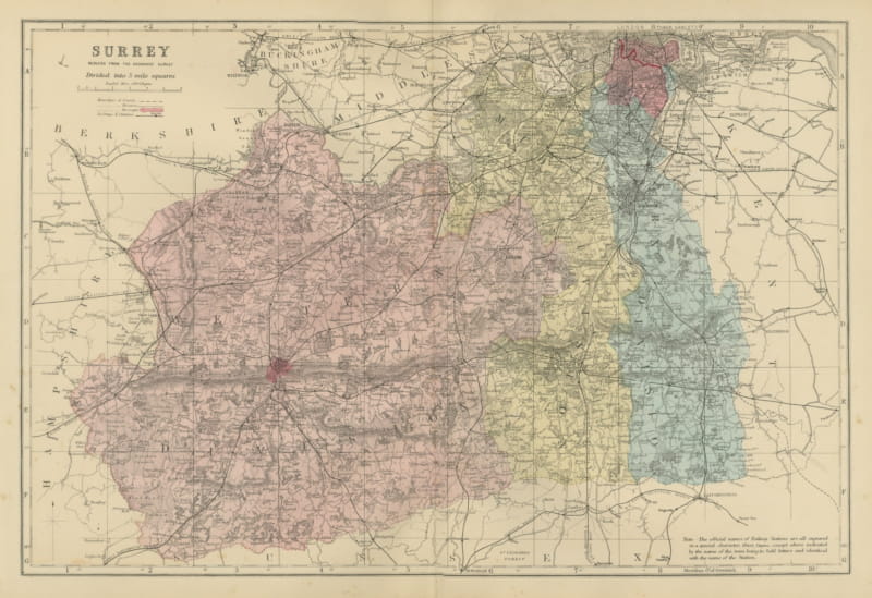
Antique Map of Surrey with Guildford, Reigate and Croydon, 1885
1885 · € 330
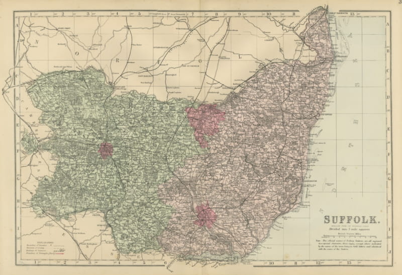
Antique Map of Suffolk with Great Yarmouth and the North Sea Coast, 1885
1885 · € 295
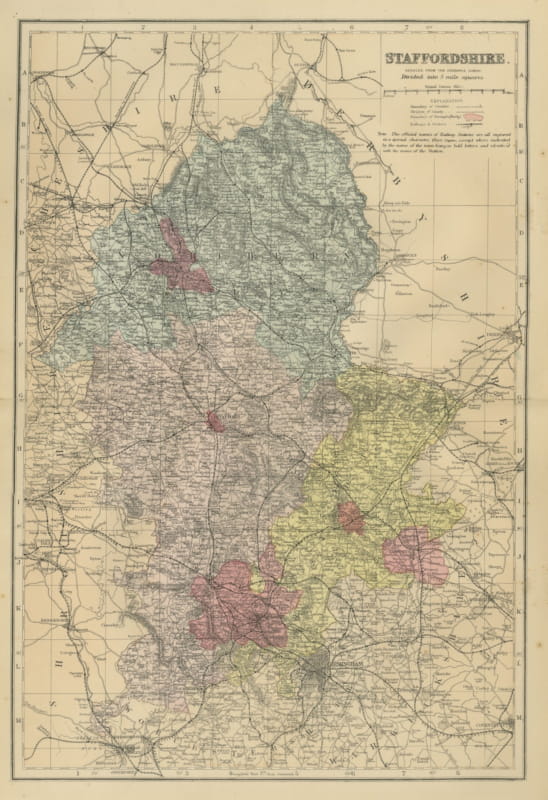
Antique Map of Staffordshire with Stafford, Lichfield and Birmingham, 1885
1885 · € 310
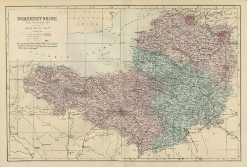
Antique Map of Somersetshire, Bridgwater Bay and the Bristol Channel, 1885
1885 · € 310
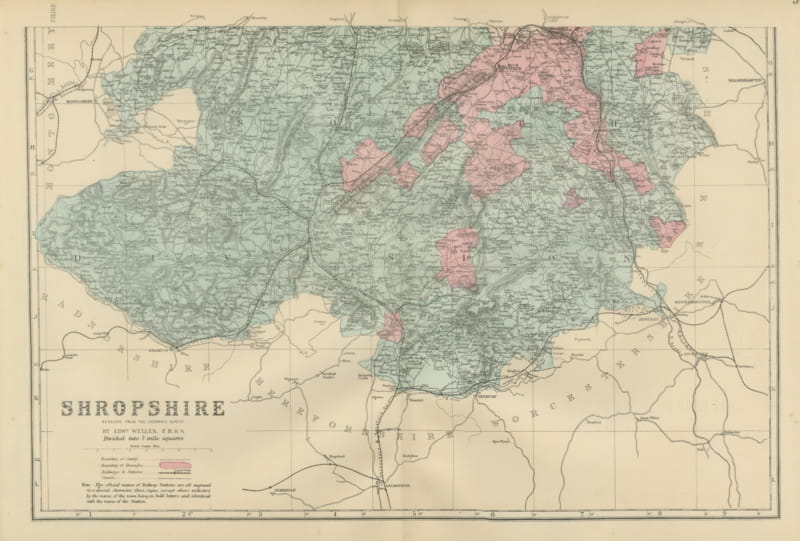
Antique Map of Shropshire on Two Sheets, North and South, 1885
1885 · € 495
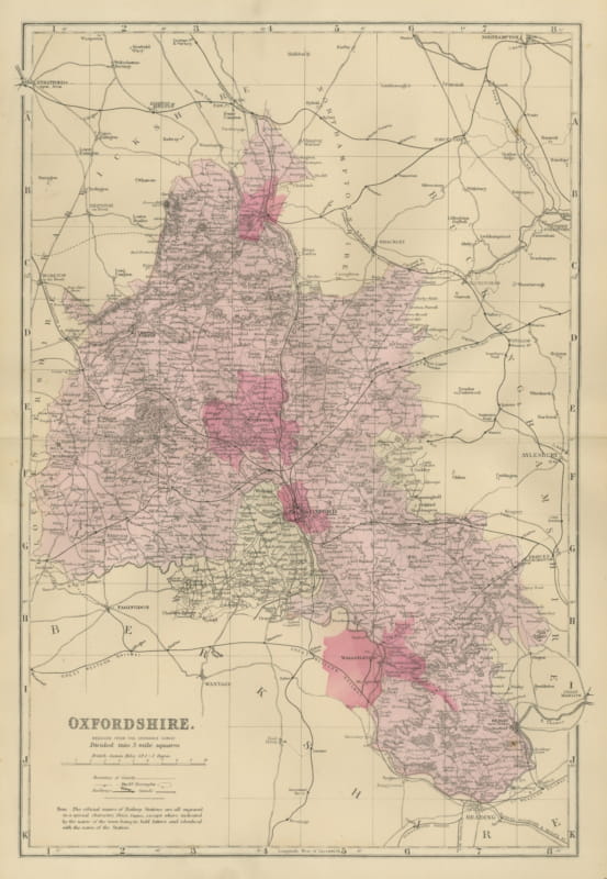
Antique Map of Oxfordshire with Banbury, Abingdon and Wantage, 1885
1885 · € 320
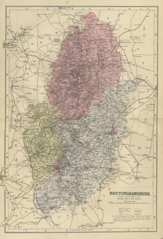
Antique Map of Nottinghamshire with Mansfield, Newark and Worksop, 1885
1885 · € 300
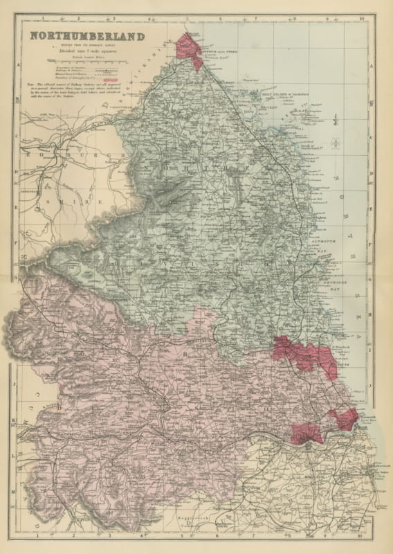
Antique Map of Northumberland with Holy Island and Berwick, 1885
1885 · € 310
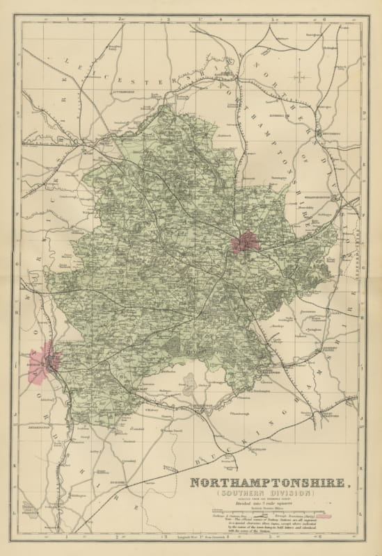
Antique Map of South Northamptonshire and Northampton Town, 1885
1885 · € 290
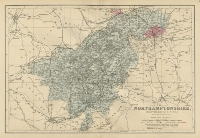
Antique Map of North Northamptonshire with Peterborough, Weller, 1885
1885 · € 290
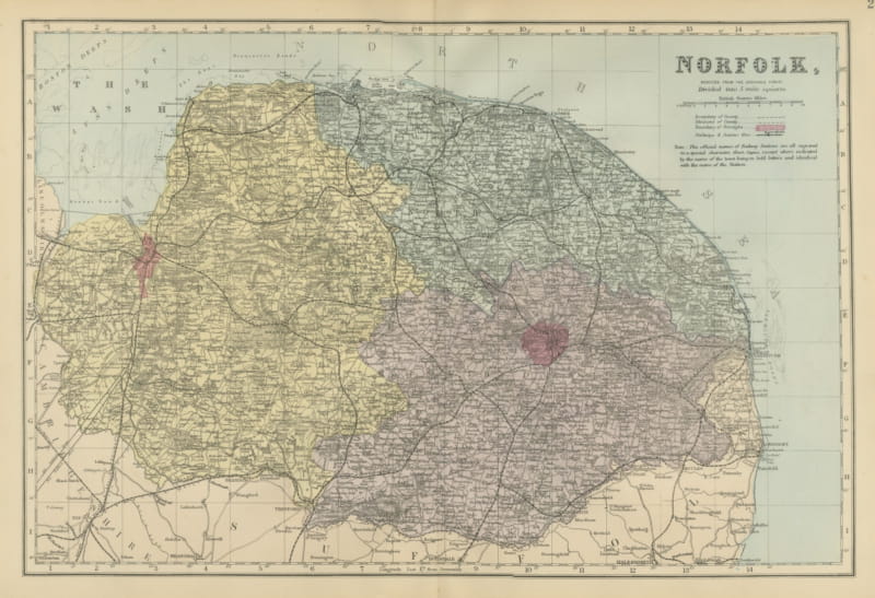
Antique Map of Norfolk with Norwich and the Wash, Edward Weller, 1885
1885 · € 310
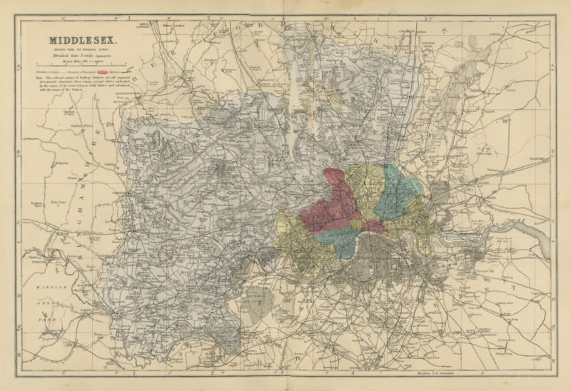
Antique Map of Middlesex and Victorian London with its Railways, 1885
1885 · € 340
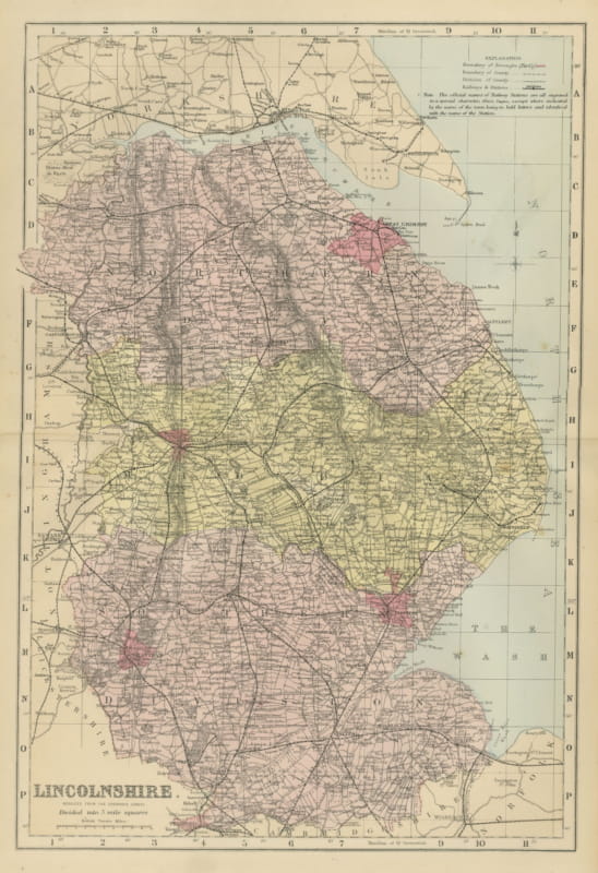
Antique Map of Lincolnshire with Great Grimsby and the Wash, 1885
1885 · € 320
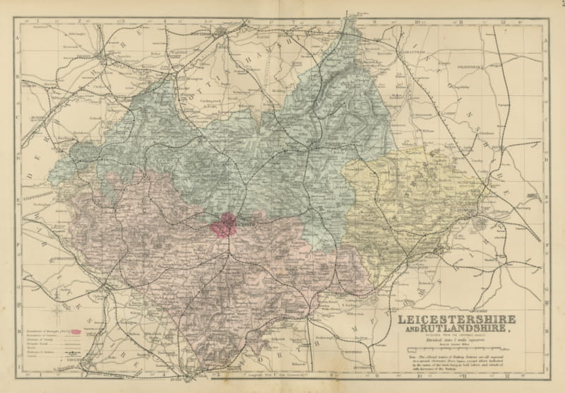
Antique Map of Leicestershire and Rutlandshire with Leicester, 1885
1885 · € 295
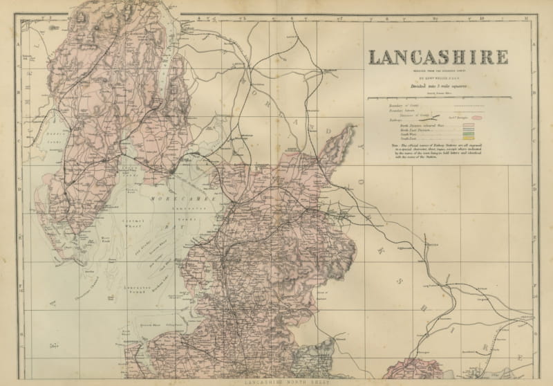
Antique Map of Lancashire on Two Sheets, North and South, 1885
1885 · € 550
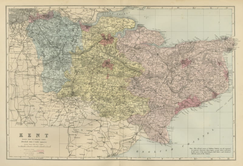
Antique Map of Kent with Maidstone, Rochester and the Channel, 1885
1885 · € 310
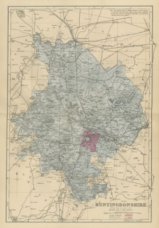
Antique Map of Huntingdonshire with Huntingdon and Peterborough, 1885
1885 · € 285
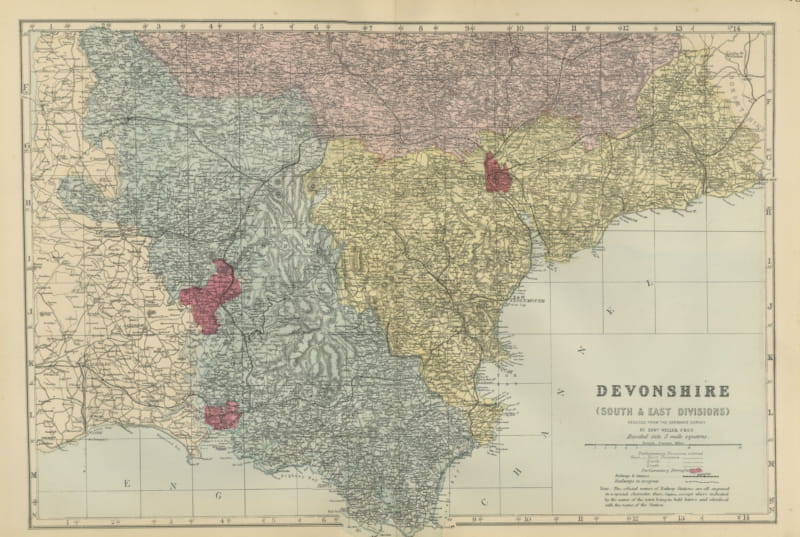
Antique Map of South and East Devon on the English Channel Coast, 1885
1885 · € 310
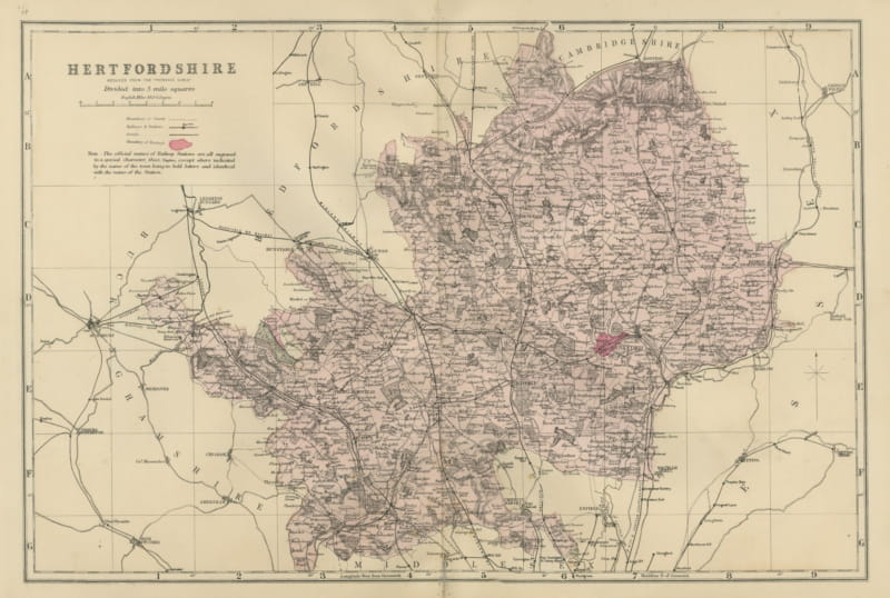
Antique Map of Hertfordshire with Railways and Boroughs, Weller, 1885
1885 · € 320
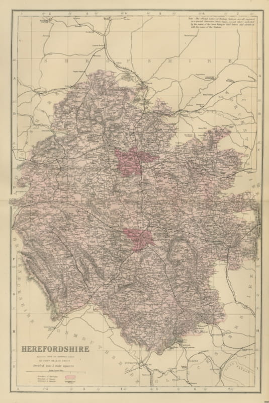
Antique Map of Herefordshire with Hereford and the Welsh Border, 1885
1885 · € 290
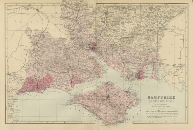
Antique Map of South Hampshire and the Isle of Wight, Weller, 1885
1885 · € 340
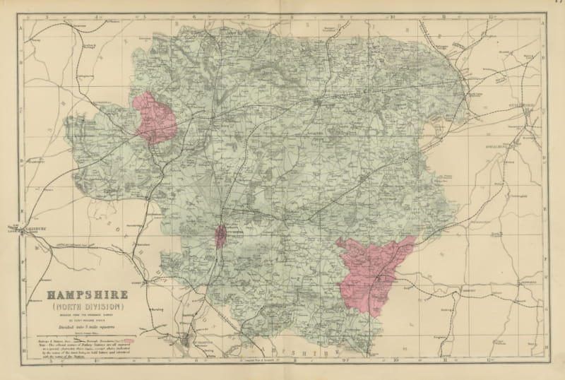
Antique Map of North Hampshire in Five Mile Squares, Edward Weller, 1885
1885 · € 290
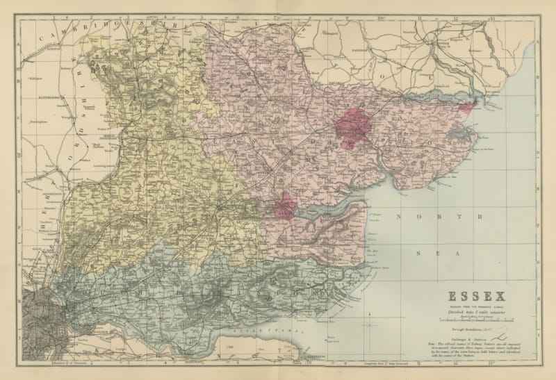
Antique Map of Essex with the Thames Estuary and the North Sea, 1885
1885 · € 310
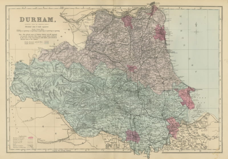
Antique Map of Durham with Sunderland, Hartlepool and the North Sea, 1885
1885 · € 295
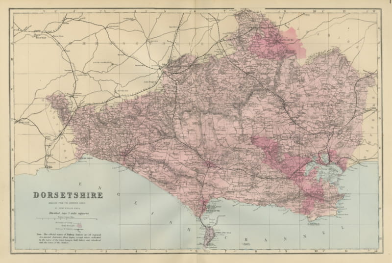
Decorative Antique Map of Dorsetshire and the English Channel Coast, 1885
1885 · € 295
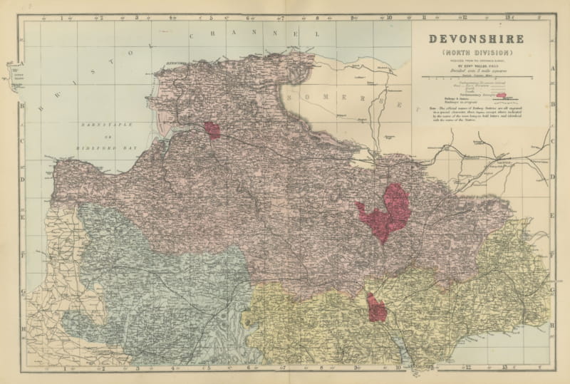
Antique Map of North Devon, Barnstaple Bay and Bristol Channel, 1885
1885 · € 310
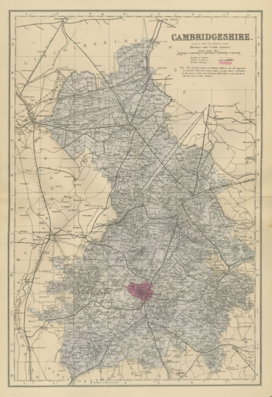
Antique Map of Cambridgeshire with Peterborough and Huntingdon, 1885
1885 · € 320
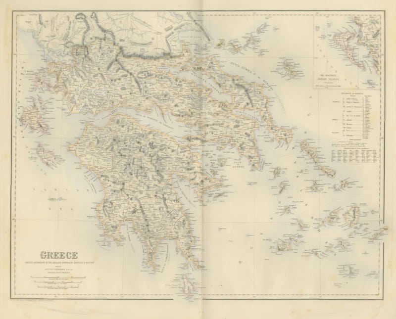
Antique Map of Greece with the Northern Ionian Islands Inset, circa 1860
circa 1860 · € 435
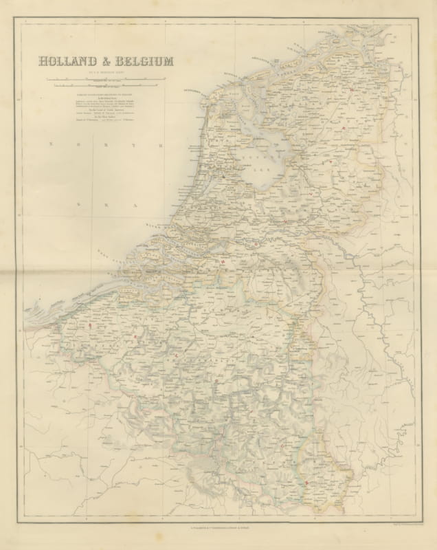
Antique Map of Holland and Belgium with Foreign Possessions Table, circa 1860
circa 1860 · € 370
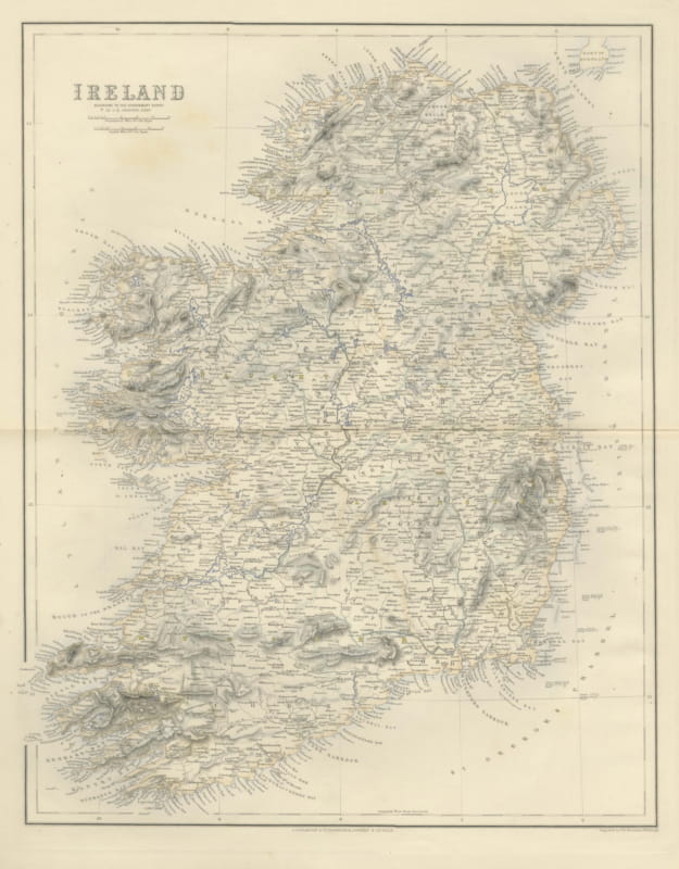
Antique Map of Ireland According to the Government Survey, circa 1860
circa 1860 · € 465
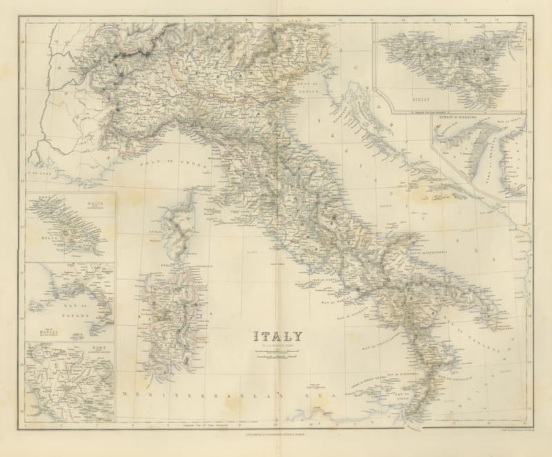
Antique Map of Italy with Sicily, Malta and Bay of Naples Insets, circa 1860
circa 1860 · € 495
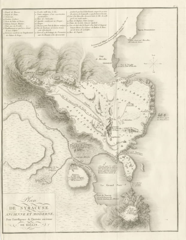
Plan of Ancient and Modern Syracuse with Numbered Key, Rollin Atlas, 1818
1818 · € 295
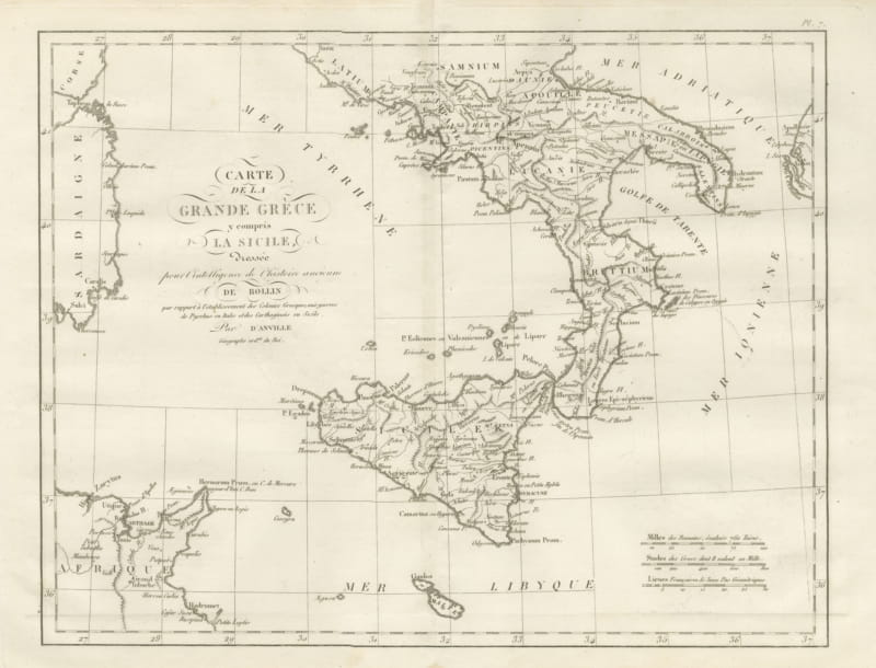
Magna Graecia and Sicily, Greek Colonies Map after d'Anville, 1818
1818 · € 255
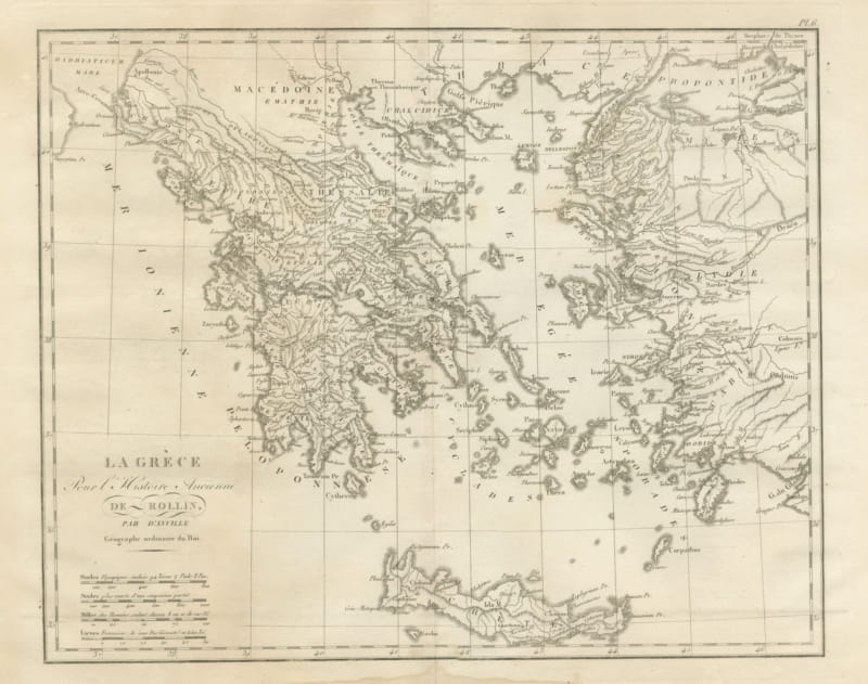
Ancient Greece and the Aegean with Crete, d'Anville for Rollin, 1818
1818 · € 255
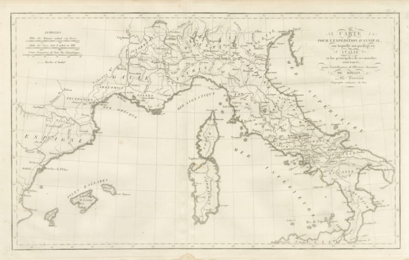
Hannibal's Expedition into Italy with His Marches Traced, d'Anville, 1818
1818 · € 255
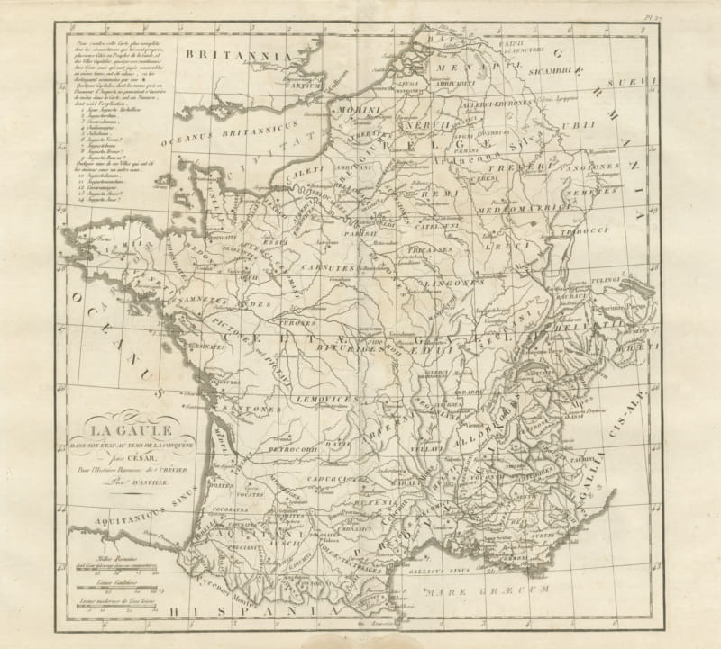
Gaul at the Time of Caesar's Conquest, d'Anville for Crevier, 1818
1818 · € 285
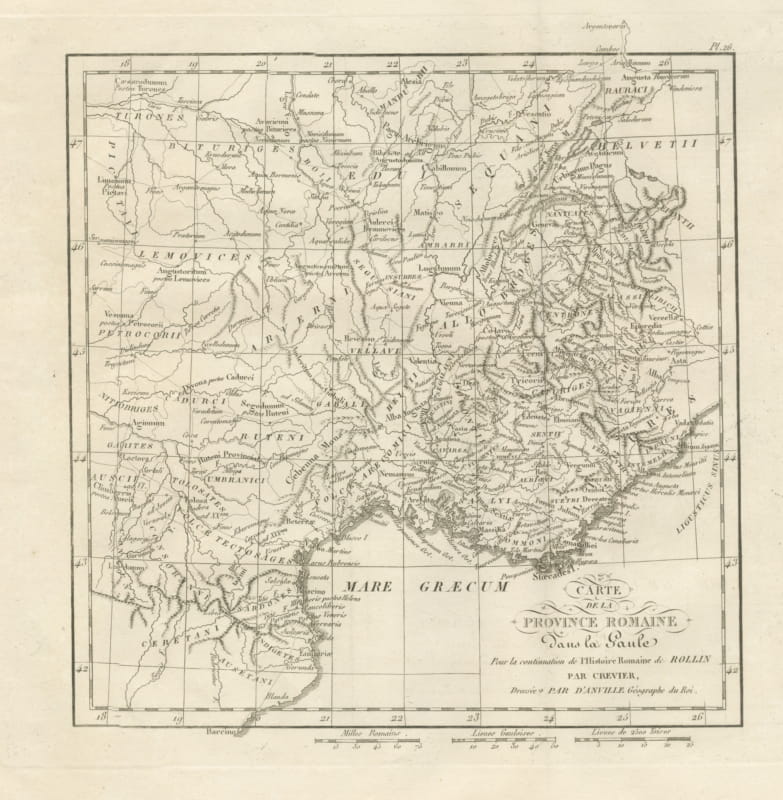
Roman Province in Gaul, Provence and the Alps, d'Anville for Crevier, 1818
1818 · € 245
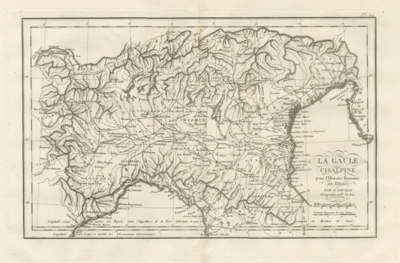
Cisalpine Gaul and the Po Valley, d'Anville Map for Rollin, 1818
1818 · € 245
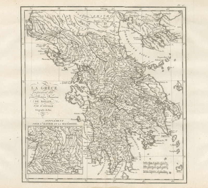
Ancient Greece with an Illyria and Macedonia Inset, d'Anville, 1818
1818 · € 295
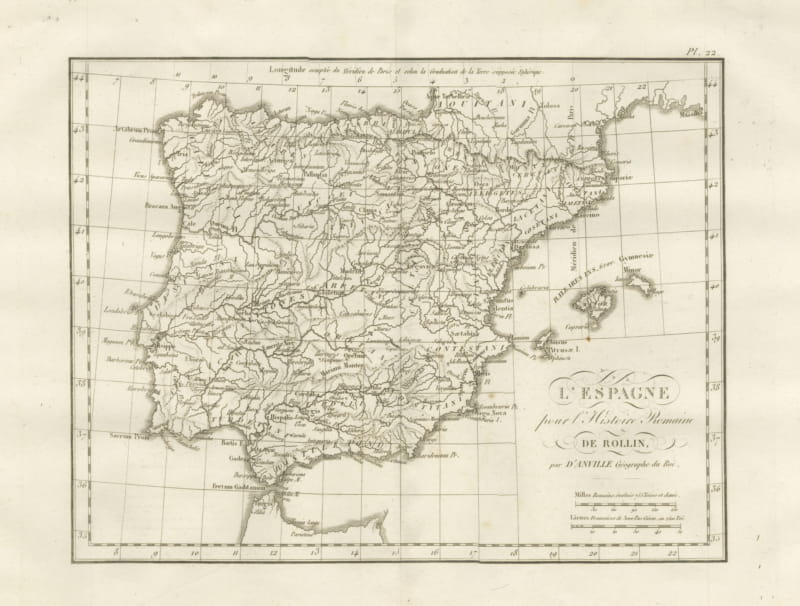
Roman Spain and Portugal with the Balearic Islands, d'Anville, 1818
1818 · € 255
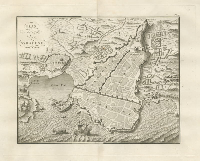
Plan of Ancient Syracuse with Ortygia and Galleys, Rollin Atlas, 1818
1818 · € 285
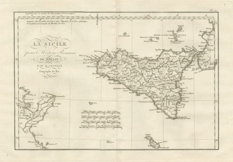
Ancient Sicily with Malta and the Carthage Coast, d'Anville, 1818
1818 · € 285
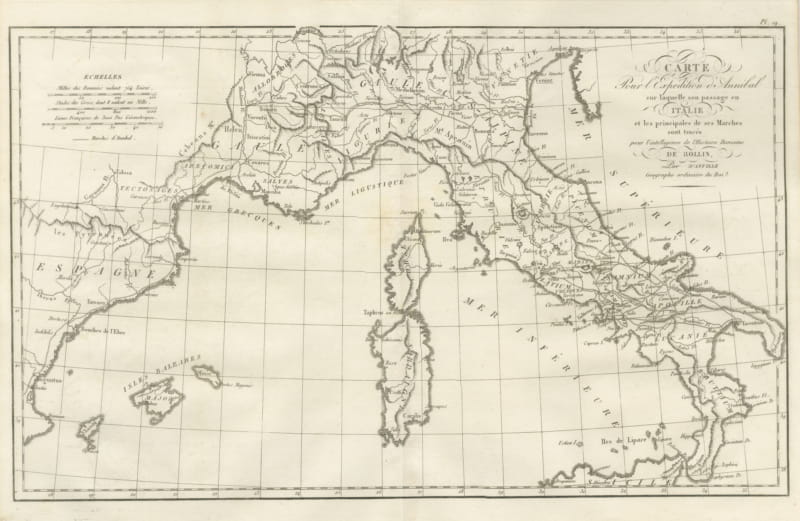
Hannibal's March into Italy, d'Anville Map for Rollin's Roman History, 1818
1818 · € 285