Antique Maps of Europe
631 original sheets
Western Europe 1908Northern Europe 146Central Europe 88Eastern Europe 102South-East Europe 135Southern Europe 275Europe as a Whole 169
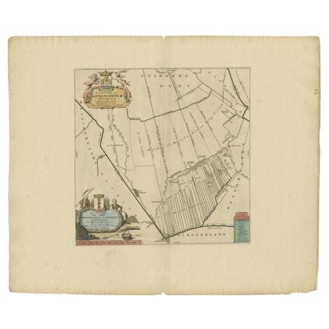
Antique Map of the Aengwirden Township 'Friesland' by Halma, 1718
1718 · € 238
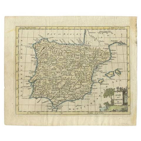
Antique Map of Spain and Portugal by Kitchin, 1770
1770 · € 140
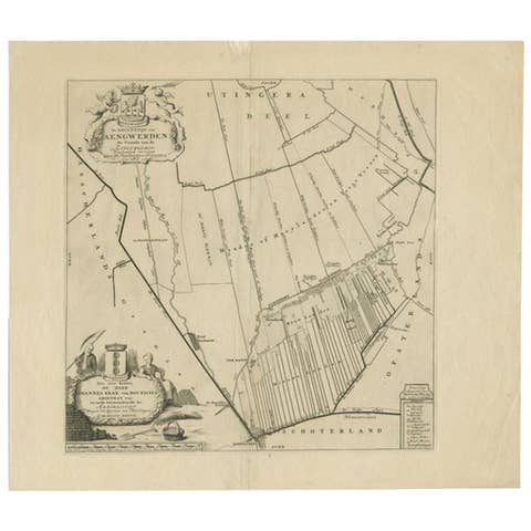
Antique Map of the Aengwirden Township, Friesland, the Netherlands, 1718
1718 · € 340
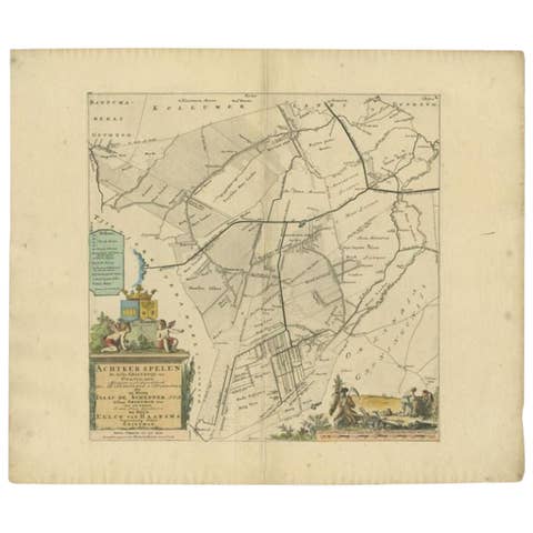
Antique Map of the Achtkarspelen township, Friesland, The Netherlands, 1718
1718 · € 380
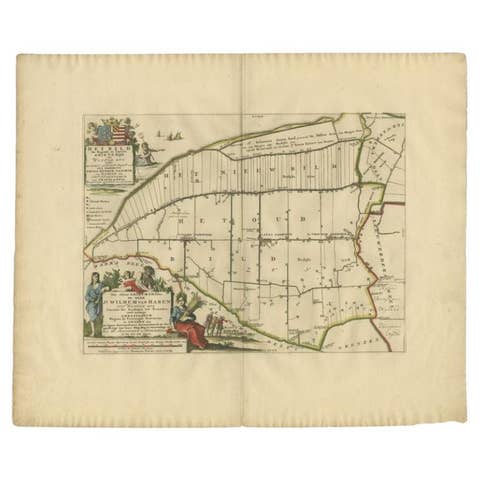
Antique Map of the Bildt Township 'Friesland' by Halma, 1718
1718 · € 379
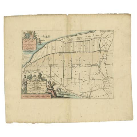
Antique Map of the Bildt Township 'Friesland' by Halma, 1718
1718 · € 369
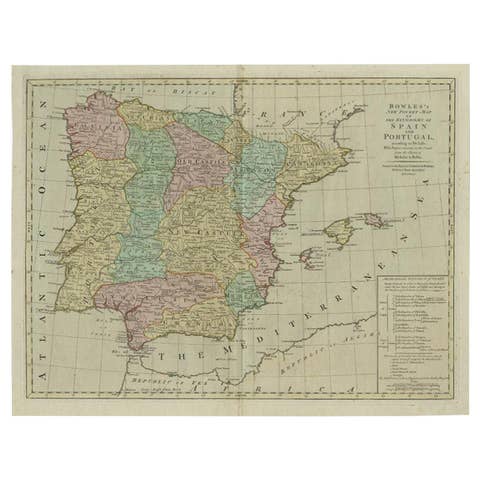
Antique Map of Spain and Portugal by Bowles, c.1780
1780 · € 395
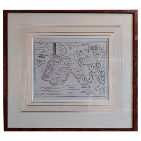
Antique Map of Southern Zeeland by Von Reilly, 1790
1790 · € 198
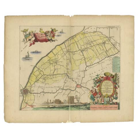
Antique Map of the Barradeel Township, 1718
1718 · € 383
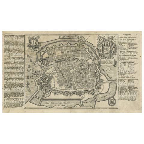
Antique Map of the City of Copenhagen in Denmark c.1720
1720 · € 254
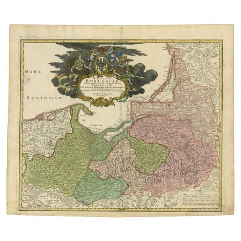
Antique Map of the Baltic Region by Homann Heirs, c.1730
1730 · € 470
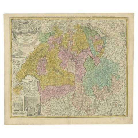
Antique Map of Switzerland by Homann Heirs, c.1732
1732 · € 393
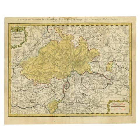
Antique Map of Switzerland by Homann, 1753
1753 · € 298
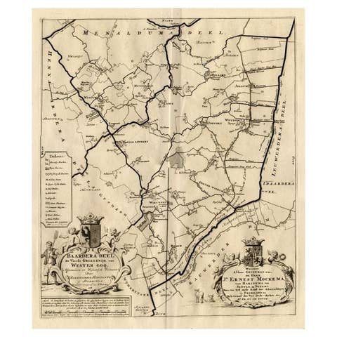
Antique Map of the Baarderadeel Township, 1718
1718 · € 243
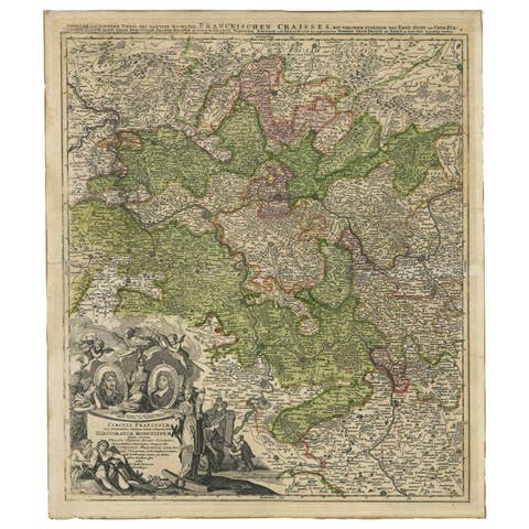
Antique Map of the Circle of Franconia by Homann, c.1703
1703 · € 440
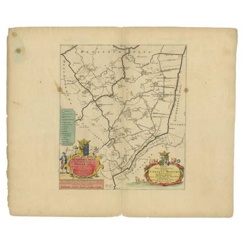
Antique Map of the Baarderadeel Township, 1718
1718 · € 370
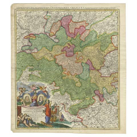
Antique Map of the Circle of Franconia by Homann, c.1703
1703 · € 357

Antique Map of Sweden by Bowen, 1747
1747 · € 270

Antique Map of the Circle of Bavaria by Vaugondy, 1757
1757 · € 199
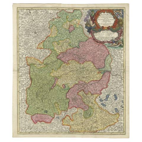
Antique Map of the Circle of Bavaria by Homann, c.1703
1703 · € 320
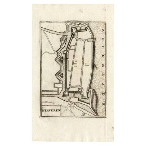
Antique Map of Stavoren by Coronelli, 1706
1706 · € 113
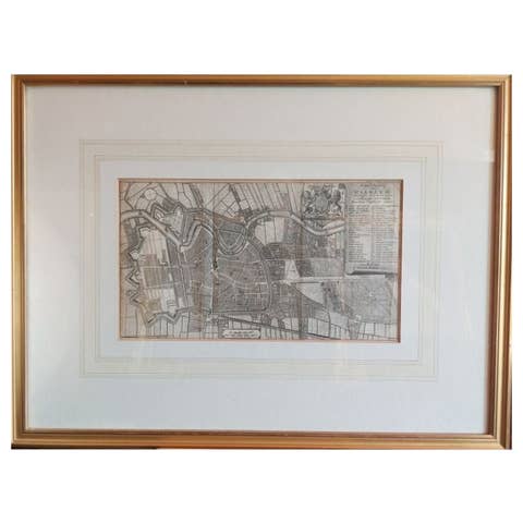
Antique Map of the City of Haarlem by Tirion, 1742
1742 · € 220
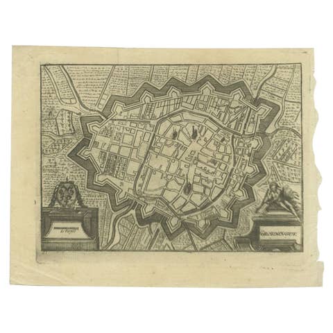
Antique Map of the City of Groningen Made After Harrewijn, C.1750
1750 · € 110
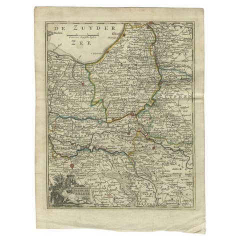
Antique Map of the Duchy of Gelderland by Keizer & De Lat, 1788
1788 · € 220
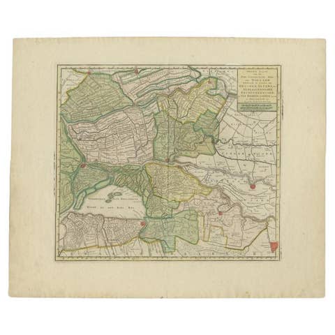
Antique Map of the 'Biesbosch' Region by Tirion, 1749
1749 · € 325
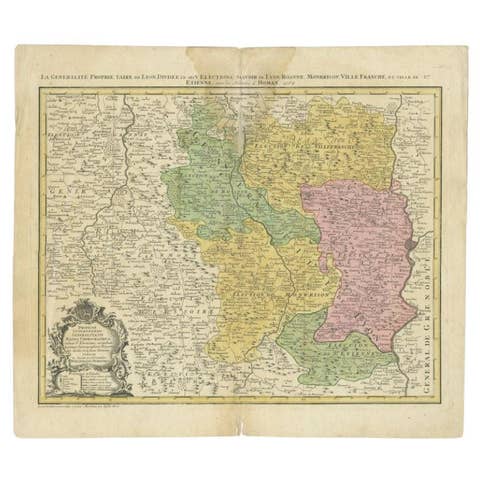
Antique Map of the Beaujolais Region by Homann Heirs, 1762
1762 · € 315
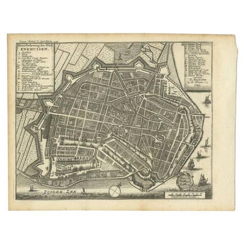
Antique Map of the City of Enkhuizen by Tirion, 1743
1743 · € 150
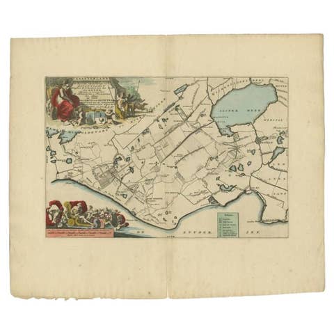
Antique Map of the Gaasterland Township 'Friesland' by Halma, 1718
1718 · € 383
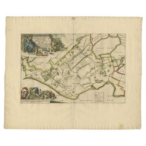
Antique Map of the Gaasterland Township 'Friesland' by Halma, 1718
1718 · € 399
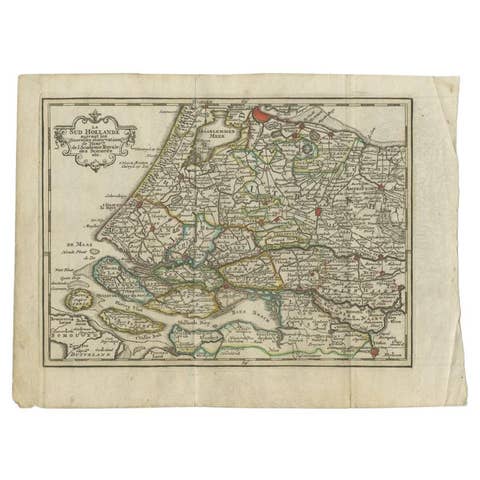
Antique Map of the Province of Zuid-Holland by Keizer & De Lat, 1788
1788 · € 220
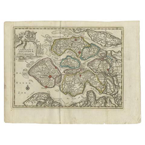
Antique Map of the Province of Zeeland by Keizer & De Lat, 1788
1788 · € 220
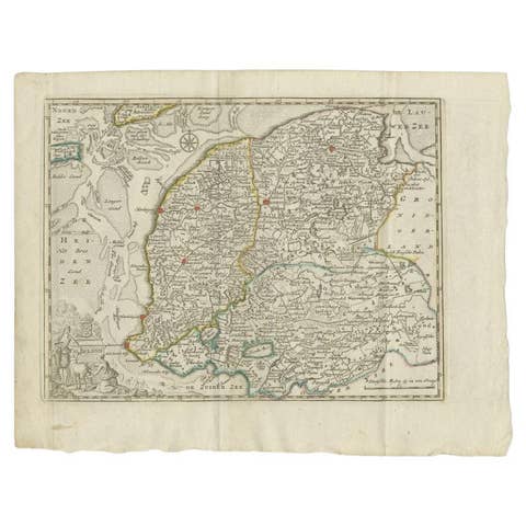
Antique Map of the Province of Friesland by Keizer & De Lat, 1788
1788 · € 220
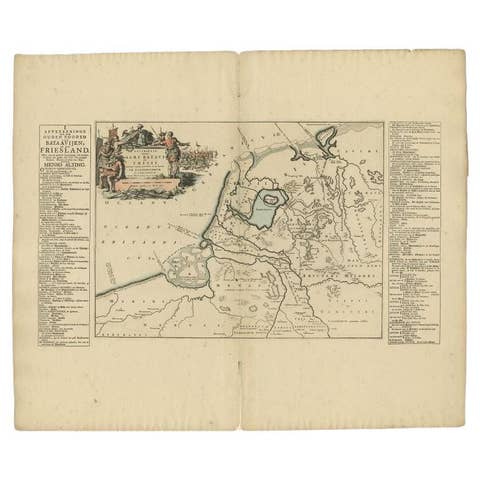
Antique Map of the Old Land of Batavia and FriesLand by Halma, 1718
1718 · € 185
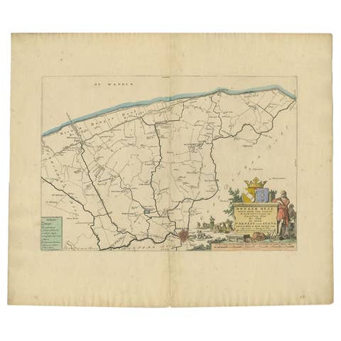
Antique Map of the Dongeradeel Township in Friesland, The Netherlands, 1718
1718 · € 490
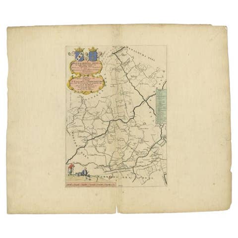
Antique Map of the Hennaarderadeel Township 'Friesland' by Halma, 1718
1718 · € 298
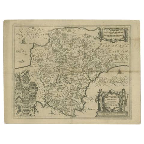
Antique Map of the County of Devon by Overton, 1713
1713 · € 289
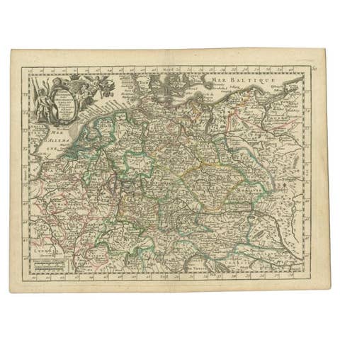
Antique Map of the German Empire by Le Rouge, 1743
1743 · € 155
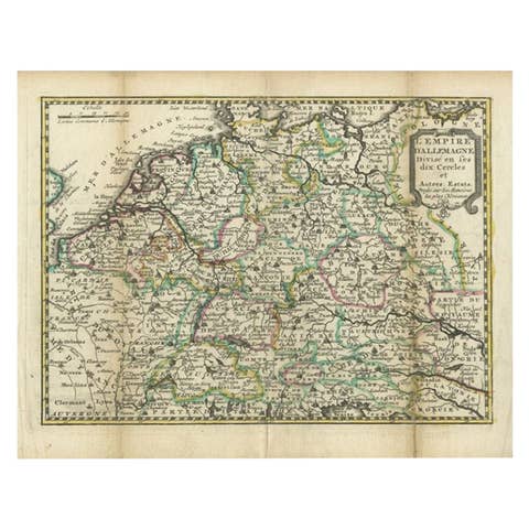
Antique Map of the German Empire by De Leth, 1749
1749 · € 168
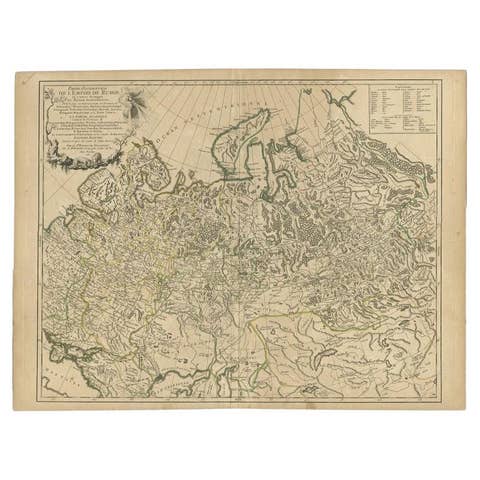
Antique Map of the Russian Empire in Europe by Vaugondy, 1750
1750 · € 340
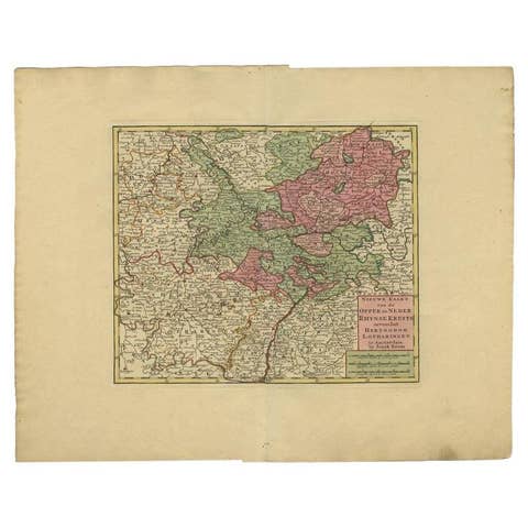
Antique Map of the Rhineland and Lotharingen by Tirion, c.1740
1740 · € 273
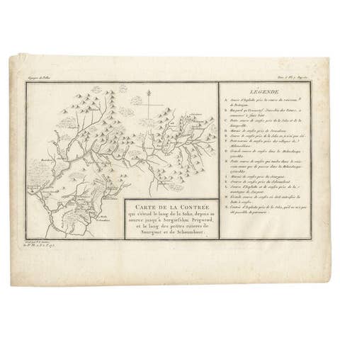
Antique Map of the Region of the Sok River in Russia, 1794
1794 · € 280
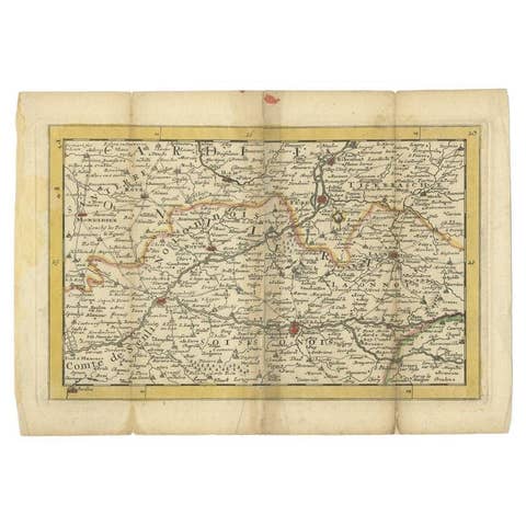
Antique Map of the Region of Soissons in France, 1737
1737 · € 128
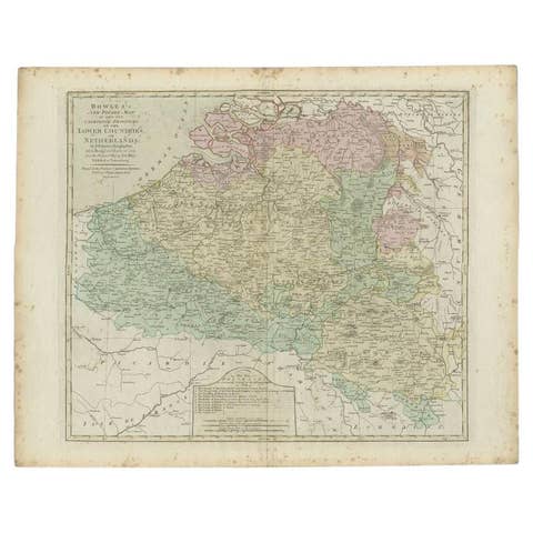
Antique Map of the Southern Netherlands by Bowles, c.1780
1780 · € 295

Antique Map of the South Part of Great Britain by Tirion, c.1750
1750 · € 450
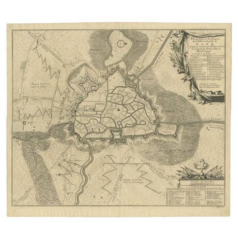
Antique Map of the Siege of Gent by Dumont, 1729
1729 · € 335
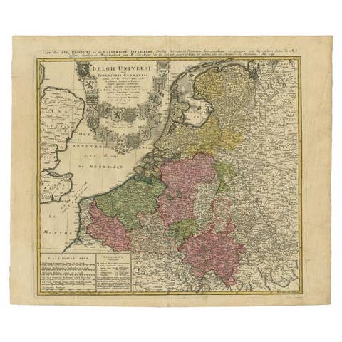
Antique Map of the Seventeen Provinces of Netherlands, Belgium, Luxembourg, 1748
1748 · € 460
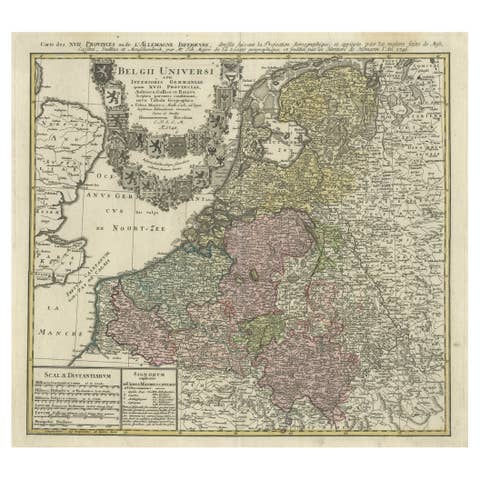
Antique Map of the Seventeen Provinces by Homann Heirs, 1748
1748 · € 550
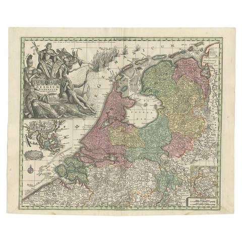
Antique Map of the Seven United Provinces of Holland by Seutter, 1727
1727 · € 725