About this sheet
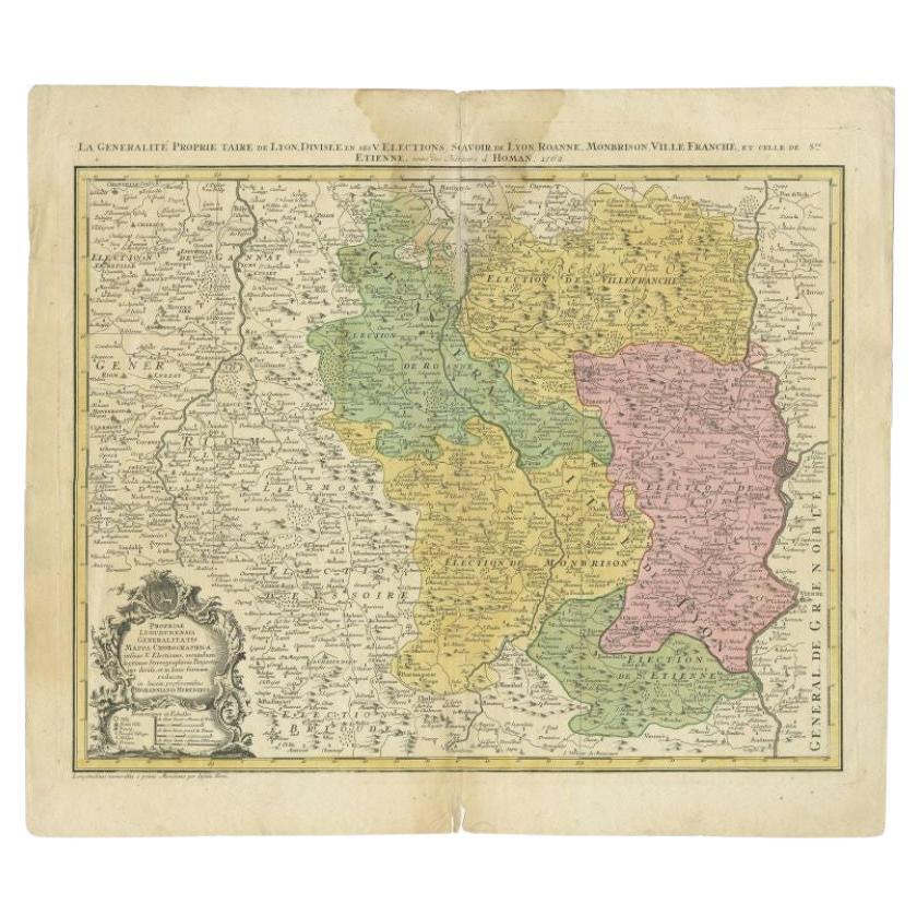
Antique map titled 'La Generalite Proprie Taire De Lyon (..) - Propriae Lugudunensis Generalitatis (..)'. Detailed regional map of the Beaujolais region including the cities of Lyon, Clermont Ferrand, Roanne, Saint Etienne and Vienne. Fully engraved with mountains, forests and tiny villages. A decorative title cartouche incorporates a legend and distance scale. Artists and Engravers: Following the long period of Dutch domination, the Homann family became the most important map publishers in Germany in the eighteenth century, the business being founded by J.B. Homann in Nuremberg about the year 1702. Soon after publishing his first atlas in 1707 he became a member of the Berlin academy of Sciences and in 1715 he was appointed Geographer to the Emperor. After the founder's death in 1724, the firm was continued under the direction of his son until 1730 and was then bequeathed to his heirs on the condition that it trades under the name of Homann Heirs. The firm remained in being until the next century and had a wide influence on map publishing in Germany. Apart from the atlases the firm published a very large number of individual maps. The Homanns produced a Neuer Atlas in 1714, a Grosser Atlas in 1737, and an Atlas Maior with about 300 maps in 1780. They also issued a special Atlas of Germany with full sized plans of principal cities, school atlases and an Atlas of Silesia in 1750 with 20 maps.
Condition: Fair/good, general age-related toning. Large stain in the upper part of the map. Minor wear/defects. Blank verso. Please study image carefully.
Date: 1762
Overall size: 62 x 54 cm.
Image size: 0.001 x 55 x 44 cm.
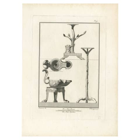
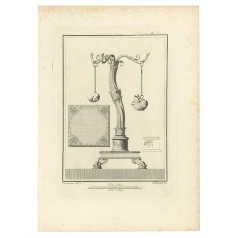
They were the product of engraved, etched or lithographed plates. These plates were handmade out of wood or metal, which required an incredible level of skill, patience and craftsmanship. Whether you have a house with Victorian furniture or more contemporary decor an old engraving can enhance your living space. We offer a wide range of authentic antique prints for any budget.