About this sheet
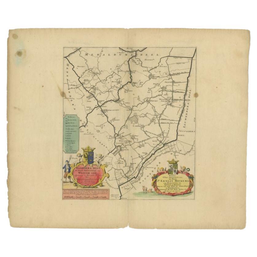
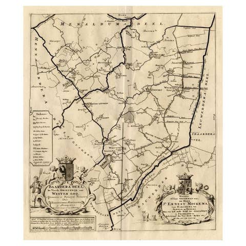
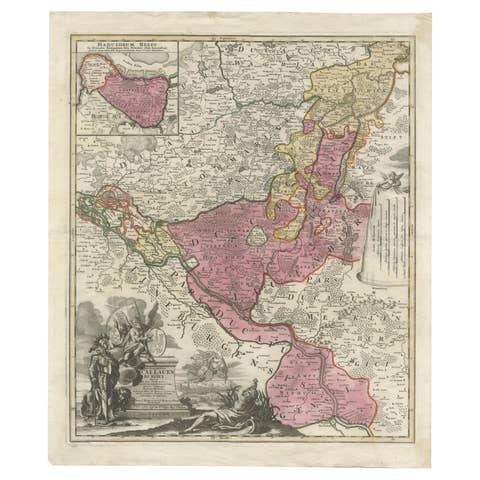
Antique map Friesland titled 'Baardera Deel de Vierde Grietenije van Wester Goo (..)'. Old map of Friesland, the Netherlands. This map depicts the region of Baarderadeel and includes cities and villages like Hijlaard, Winsum, Baard, Oosterlittens, Oosterwierum and more. With coat of arms of the Mockema family. Originates from 'Uitbeelding van de Heerlijkheid van Friesland' by Bernardus Schotanus à Sterringa. This atlas is considered the best atlas of Friesland, the Netherlands. Artists and Engravers: Published by F. Halma, Leeuwarden.
Condition: Good, general age-related toning. Minor defects and repair on folding line, please study image carefully.
Date: 1718
Overall size: 65.5 x 55.5 cm.
Image size: 0.001 x 36 x 42 cm.
They were the product of engraved, etched or lithographed plates. These plates were handmade out of wood or metal, which required an incredible level of skill, patience and craftsmanship. Whether you have a house with Victorian furniture or more contemporary decor an old engraving can enhance your living space. We offer a wide range of authentic antique prints for any budget.