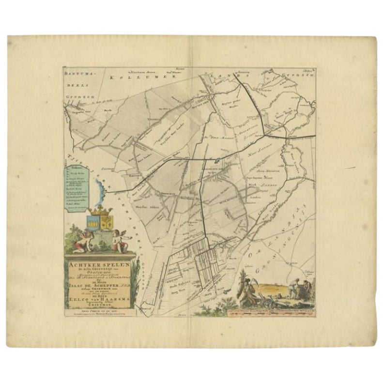
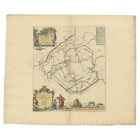
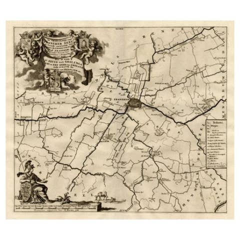
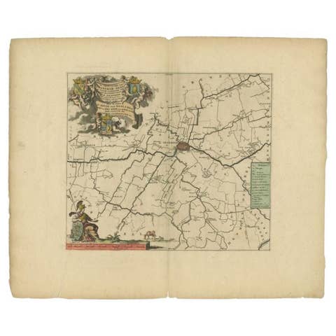
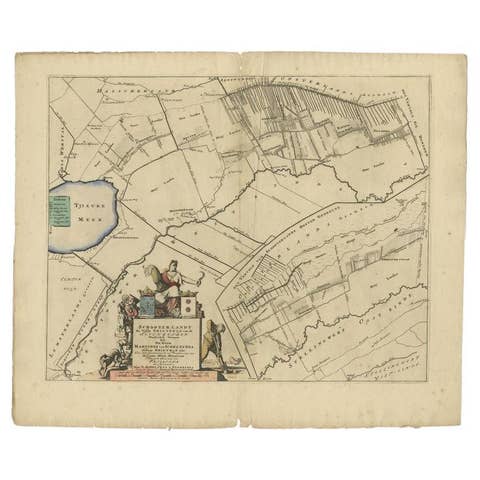
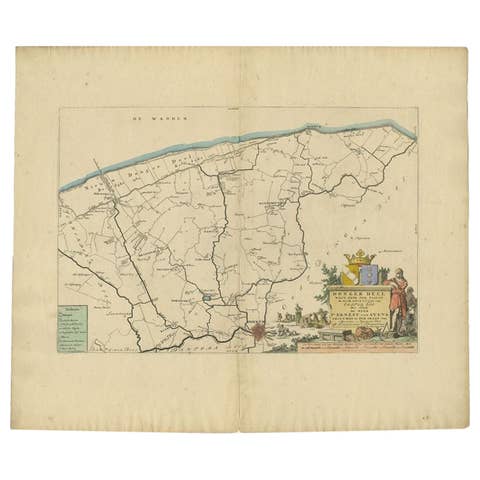
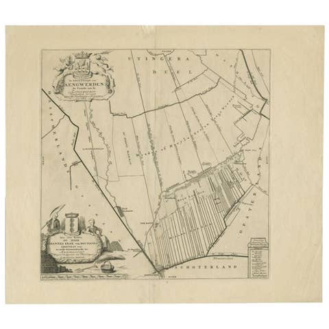
Antique Map of the Achtkarspelen township, Friesland, The Netherlands, 1718
€ 380
Original antique · The actual sheet photographed · Certificate of authenticity on request · Sold unframed · Worldwide shipping from € 15 (rates)
Date
1718
Mapmaker / artist
Published by F. Halma, Leeuwarden
Sheet size
55 × 65.5 cm (21.7 × 25.8 in)
Condition
Good
Reference
BG-05322-1
Condition
General age-related toning. Minor defects. Please review the images for further condition details.
About this sheet
Antique map Friesland titled 'Achtkarspelen, de sesde Grietenije van Ooster-Goo (..)'. Old map of Friesland, the Netherlands. This map depicts the region of Achtkarspelen and includes cities and villages like Drogeham, Hoogeveen, Augustinusga, Buitenpost and more. With coat of arms of the Haarsma family. Originates from 'Uitbeelding van de Heerlijkheid van Friesland' by Bernardus Schotanus à Sterringa. This atlas is considered the best atlas of Friesland, the Netherlands. Artists and Engravers: Published by F. Halma, Leeuwarden.
Condition: Good, general age-related toning. Minor defects, please study image carefully. Date: 1718 Overall size: 65.5 x 55 cm. Image size: 44 x 44 cm.
They were the product of engraved, etched or lithographed plates. These plates were handmade out of wood or metal, which required an incredible level of skill, patience and craftsmanship. Whether you have a house with Victorian furniture or more contemporary decor an old engraving can enhance your living space. We offer a wide range of authentic antique prints for any budget.