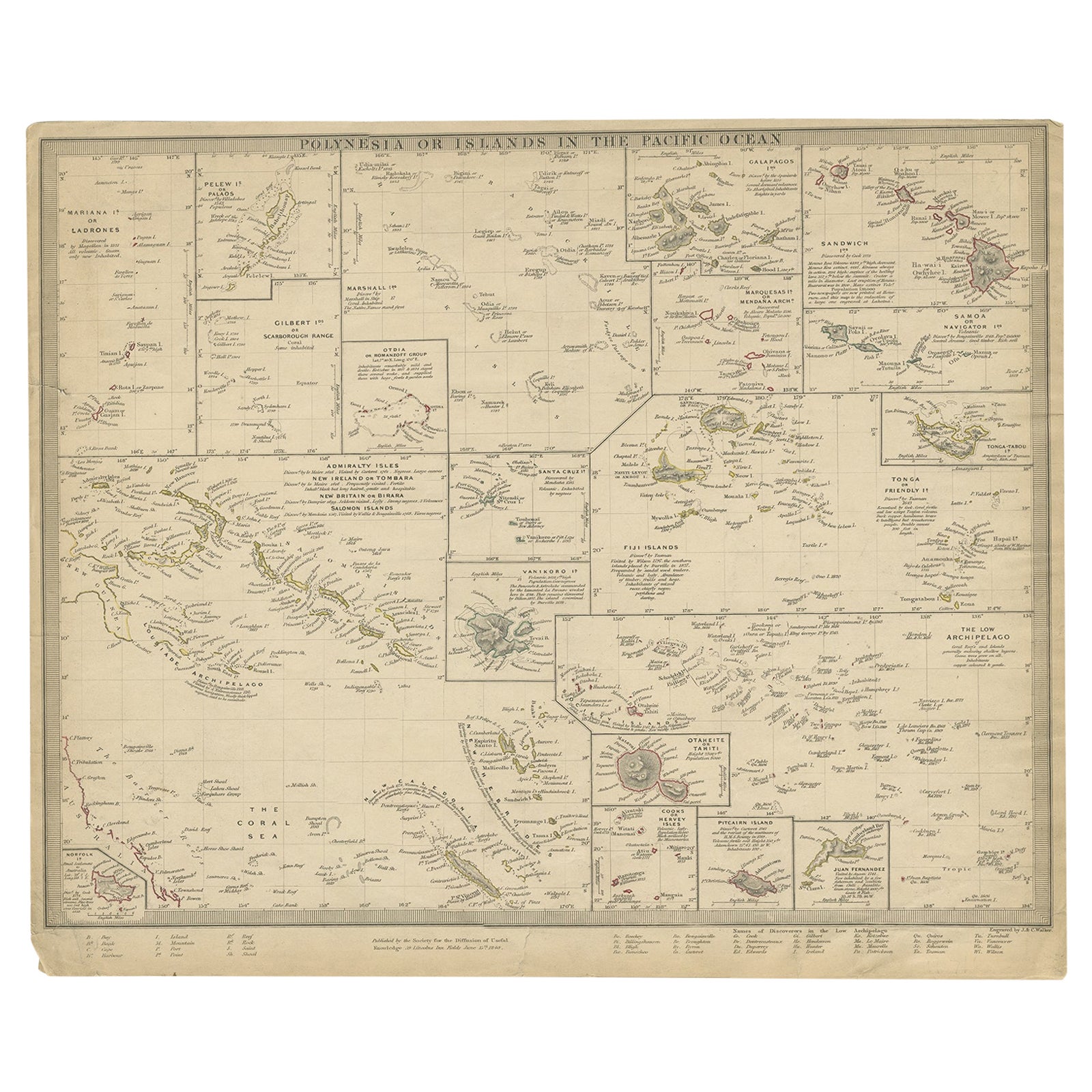
One of a kind: this is the sheet in the photographs. Ships from Langweer, the Netherlands.
Date
1840
Sheet size
33.5 × 40.5 cm (13.2 × 15.9 in)
Condition
Fair
Reference
BGJC-276
Condition
age-related toning. Few tears, slightly affecting image. Please study image carefully.
About this sheet
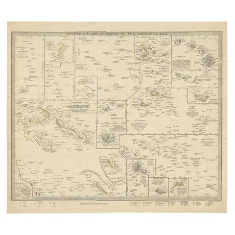
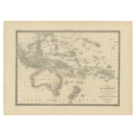
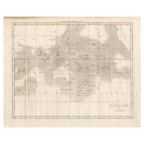
Antique map titled 'Polynesia or Islands in the Pacific Ocean'. This map depicts various islands including the Lousiade Archipelago, Tahiti, Pitcairn Island, Juan Fernandez, The low Archipelago, Tonga or Friendly Islands, Vanikoro, SantaCruz, the Admiralty Isles, Salomon Islands, Samoa, Sandwich and the Ladrones. Artists and Engravers: Published by the Society for the Diffusion of Useful Knowledge, 1840. Engraved by J. & C. Walker.
Artist: Published by the Society for the Diffusion of Useful Knowledge, 1840. Engraved by J. & C. Walker.
Condition: Fair, age-related toning. Few tears, slightly affecting image. Please study image carefully. Date: 1840 Overall size: 40.5 x 33.5 cm. Image size: 0.001 x 39.5 x 31 cm.
Antique prints have long been appreciated for both their aesthetic and investment value. They were the product of engraved, etched or lithographed plates. These plates were handmade out of wood or metal, which required an incredible level of skill, patience and craftsmanship. Whether you have a house with Victorian furniture or more contemporary decor an old engraving can enhance your living space. We offer a wide range of authentic antique prints for any budget.