Maps & PrintsBartele Gallery · Langweer
Home / Antique Maps / Asia / South Asia / India & Ceylon

India & Ceylon · 16th century

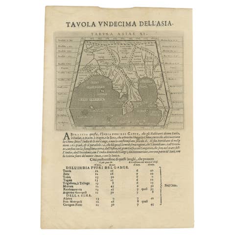
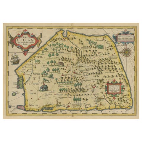
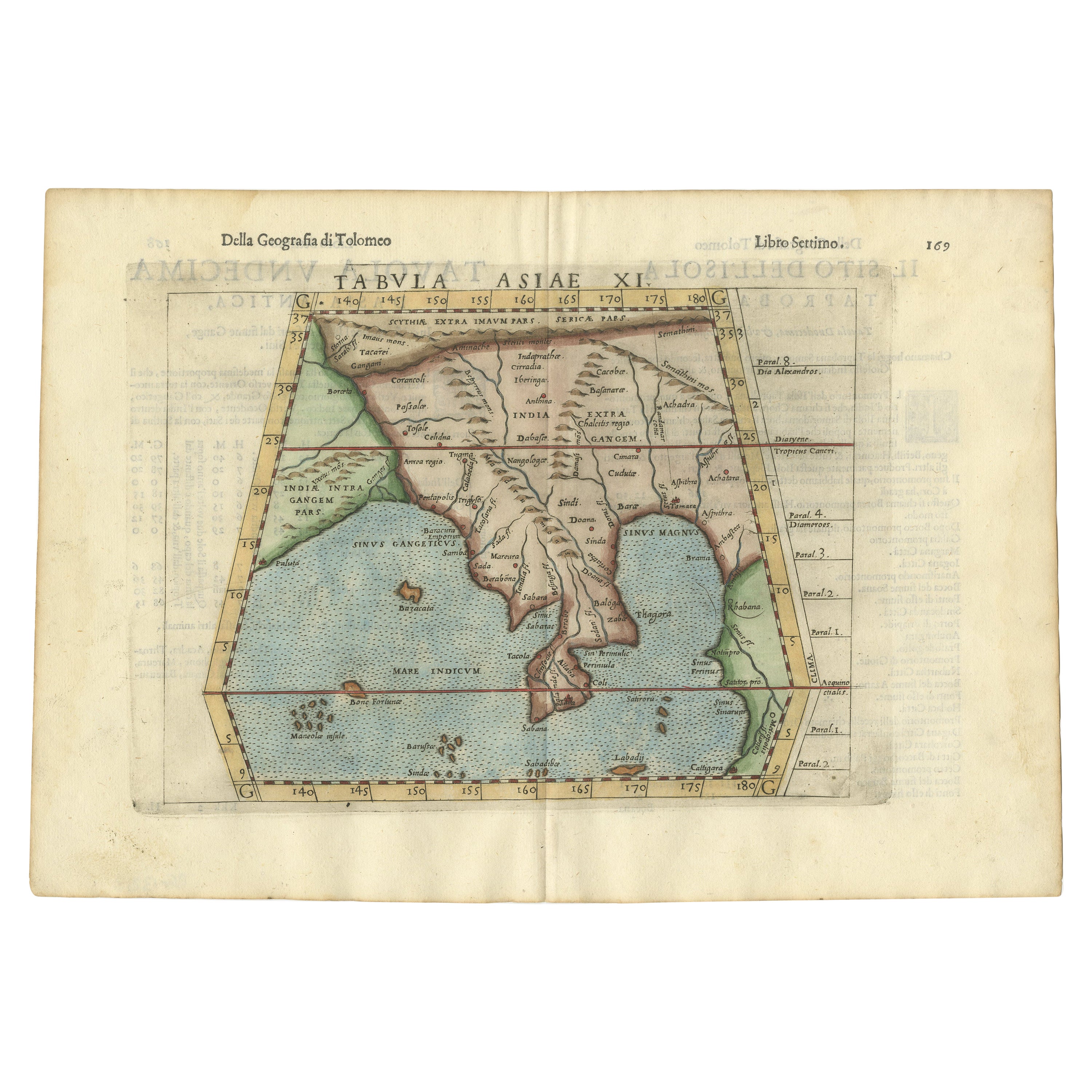
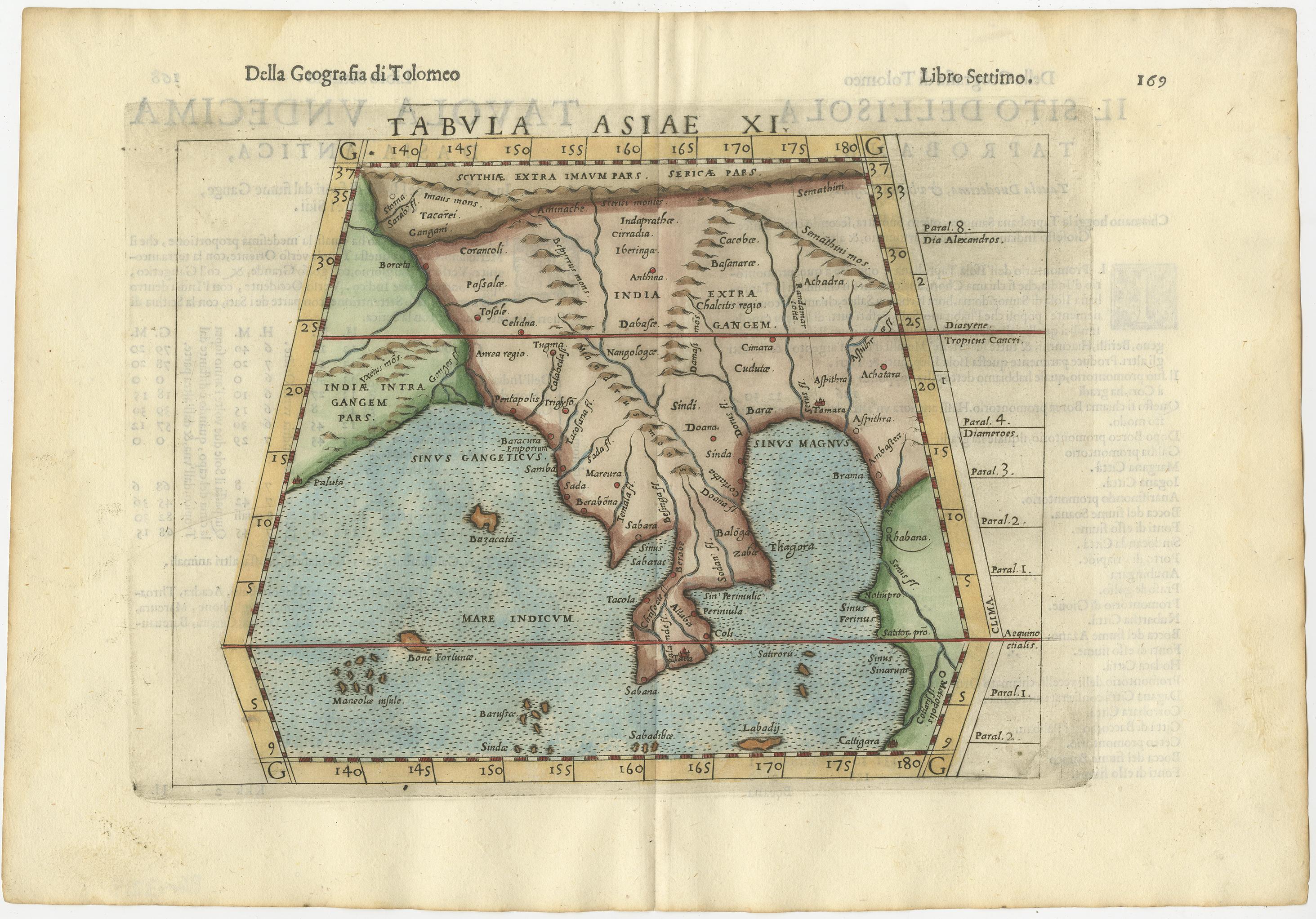
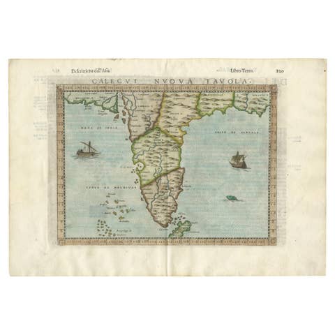
Antique Hand-Coloured Map of India, Sri Lanka, Maldives, ca.1599

€ 560

One of a kind: this is the sheet in the photographs. Ships from Langweer, the Netherlands.

Date
1599
Sheet size
24 × 35 cm (9.4 × 13.8 in)
Reference
BG-13013

Condition

very good (minor foxing) Verso: italian text.
About this sheet

Very old and decorative map of India, Sri Lanka and the Maledives. Put this map in a frame on the wall and amaze your visitors. This original engraving was made over 400 years ago and still in a stunning condition for its age.

Publication title: Geografia di Claudio Tolomeo Alessandrino Tradotta di Greco nell’Idioma Volgare Italiano da Girolamo Ruscelli.

Date: 1599
Verso: Italian text

Condition: Very Good. Centerfold line visible. Later hand-colouring. Please study the image carefully.

More from India & Ceylon

Ask about this sheet

Antique Hand-Coloured Map of India, Sri Lanka, Maldives, ca.1599
1599 · Ref. BG-13013 · € 560
We reply by email, usually within one working day.