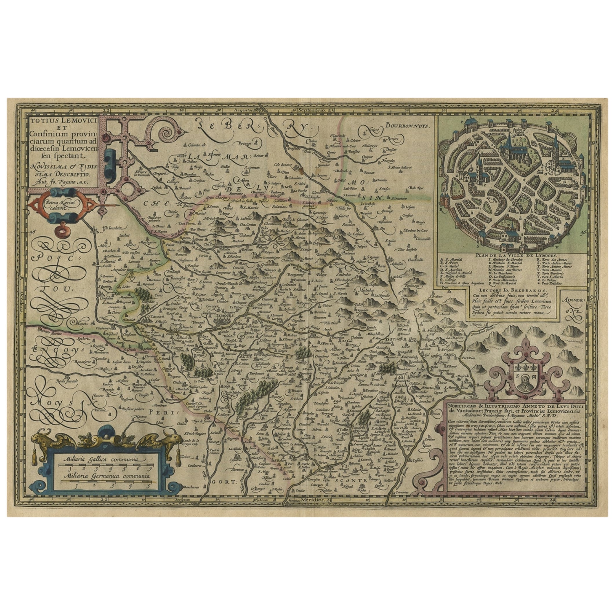
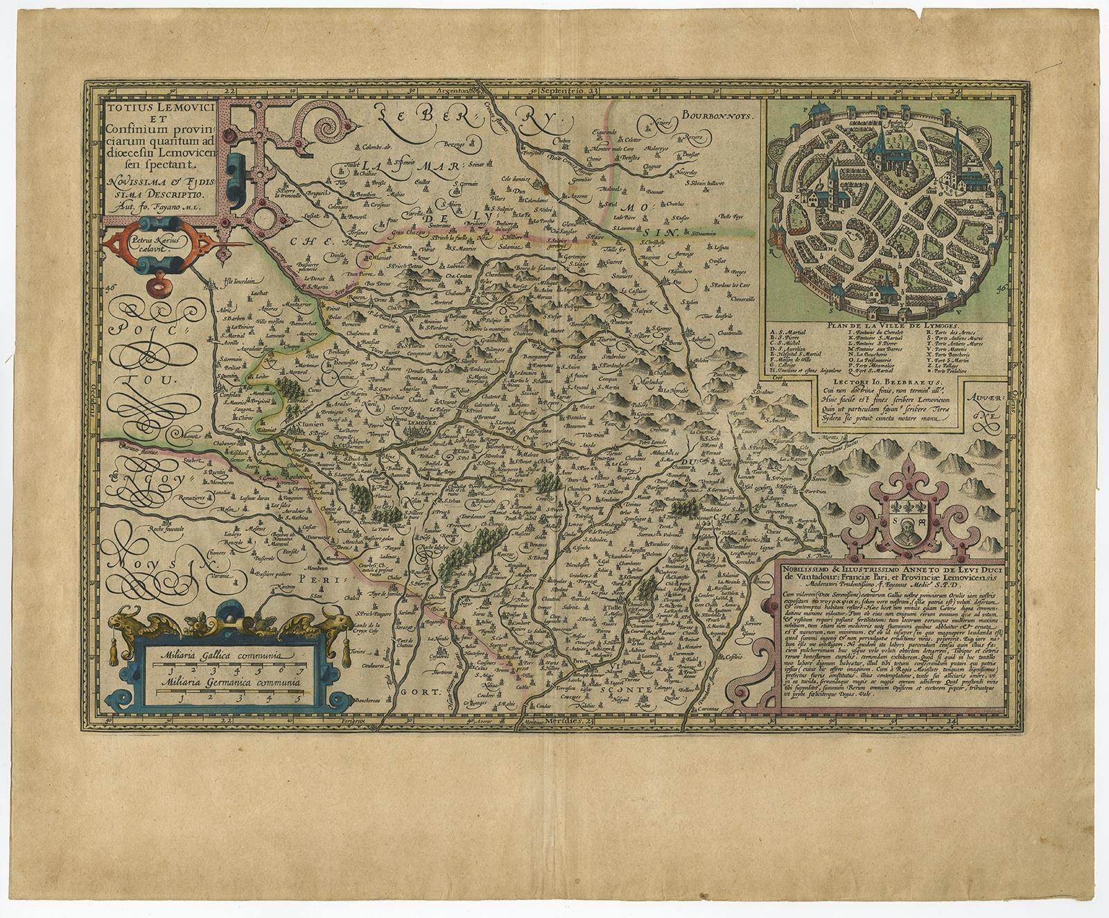
Original Very Old Hand-Colored Map of Limousin or Limoges, France, ca.1600
€ 1 400
Original antique · The actual sheet photographed · Certificate of authenticity on request · Sold unframed · Worldwide shipping from € 15 (rates)
Date
1600
Sheet size
40 × 53.5 cm (15.7 × 21.1 in)
Condition
Good
Reference
PCT-57970
Condition
Given age. Edges slightly browned. A few minor small creases. Some miniscule holes near middle fold, hardly visible. Original middle fold as issued. General age-related toning and/or occasional minor defects from handling.
About this sheet
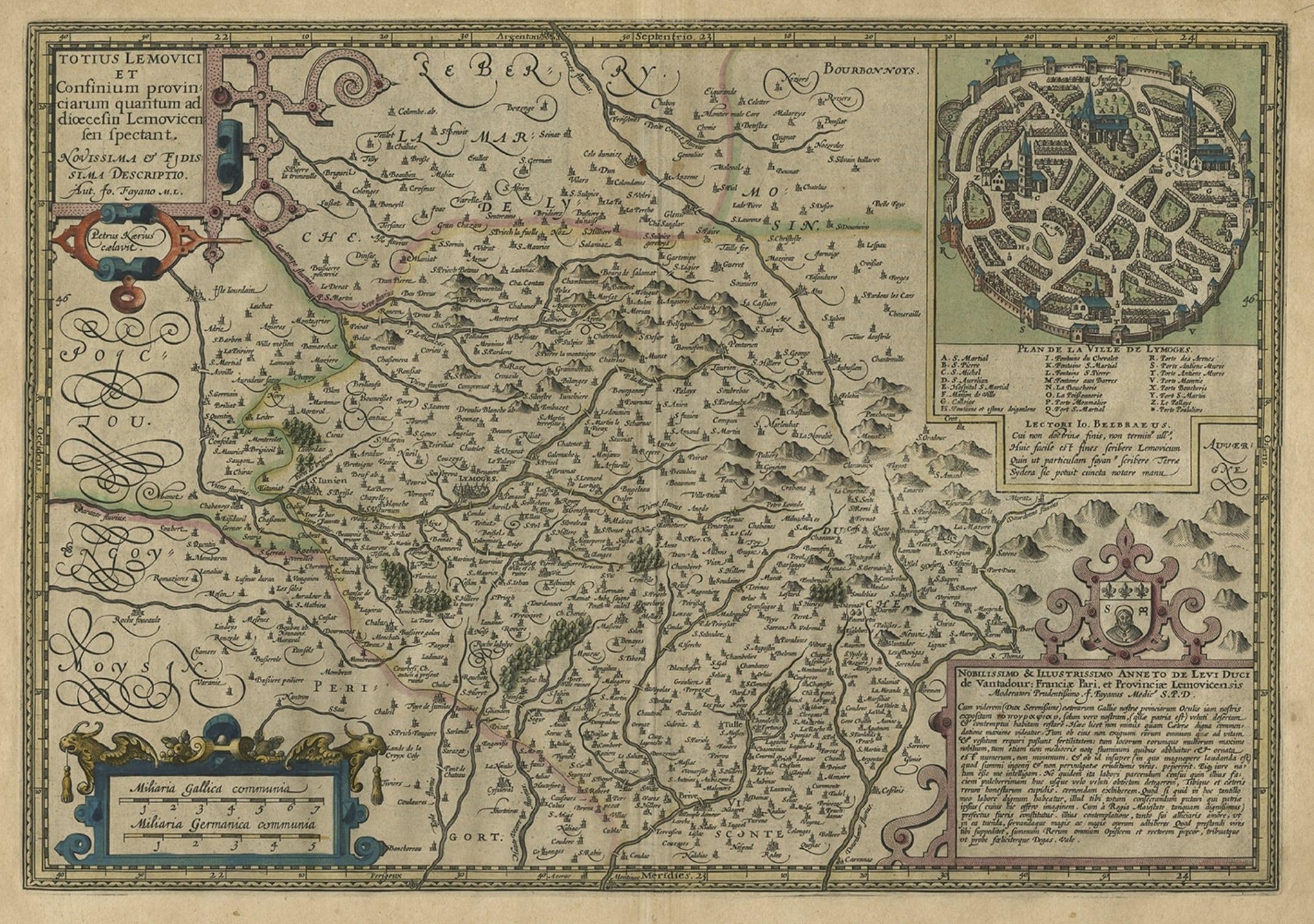
Antique map titled 'Totius Lemovici et Confinium (..).' -
A handsome and detailed map of Limousin/Limoges, prepared by the well-known engraver, Petrus Kaerius. With an insert view of Limoges at top right. Two strapwork cartouches and scale. Source unknown, to be determined.
Artists and Engravers: Made by 'Jodocus Hondius' after an anonymous artist. Jodocus Hondius (1563-1612) was the founder of the famous 17th century Dutch map publishing family. Hondius, along with sons Jodocus II and Henricus and son-in-law Jan Janssonius, was prominent in Dutch cartography and competed with the emerging Blaeu family map business. When Jodocus Hondius acquired the copperplates of the Mercator atlas and decided to re-issue them in 1606, he prepared this map for inclusion in his Atlas sive Cosmographicae.
Condition: Good, given age. Edges slightly browned. A few minor small creases. Some miniscule holes near middle fold, hardly visible. Original middle fold as issued. General age-related toning and/or occasional minor defects from handling. Please study image carefully.