Maps & PrintsBartele Gallery · Langweer
Home / Antique Maps / Europe / Western Europe / Germany

Germany · 19th century

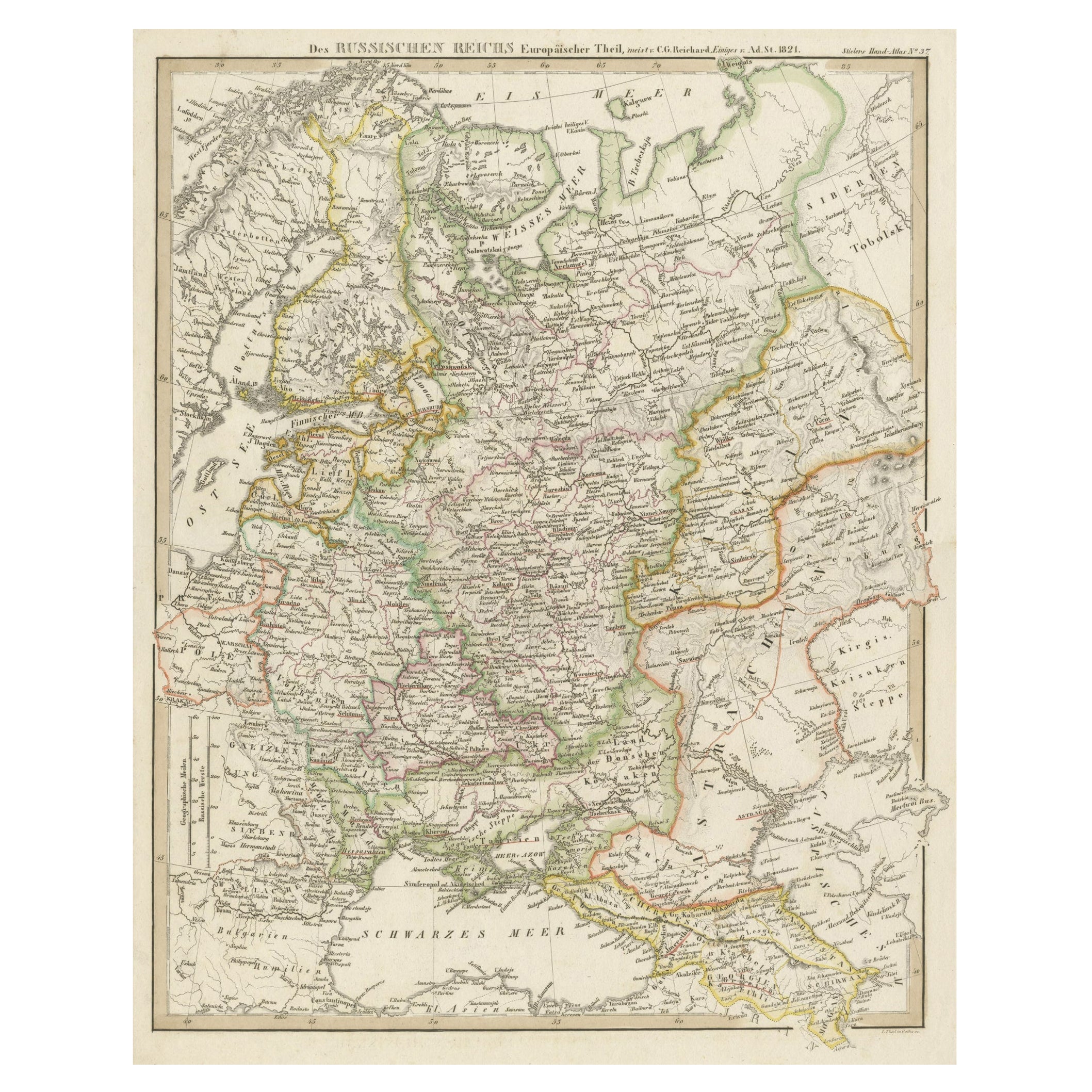
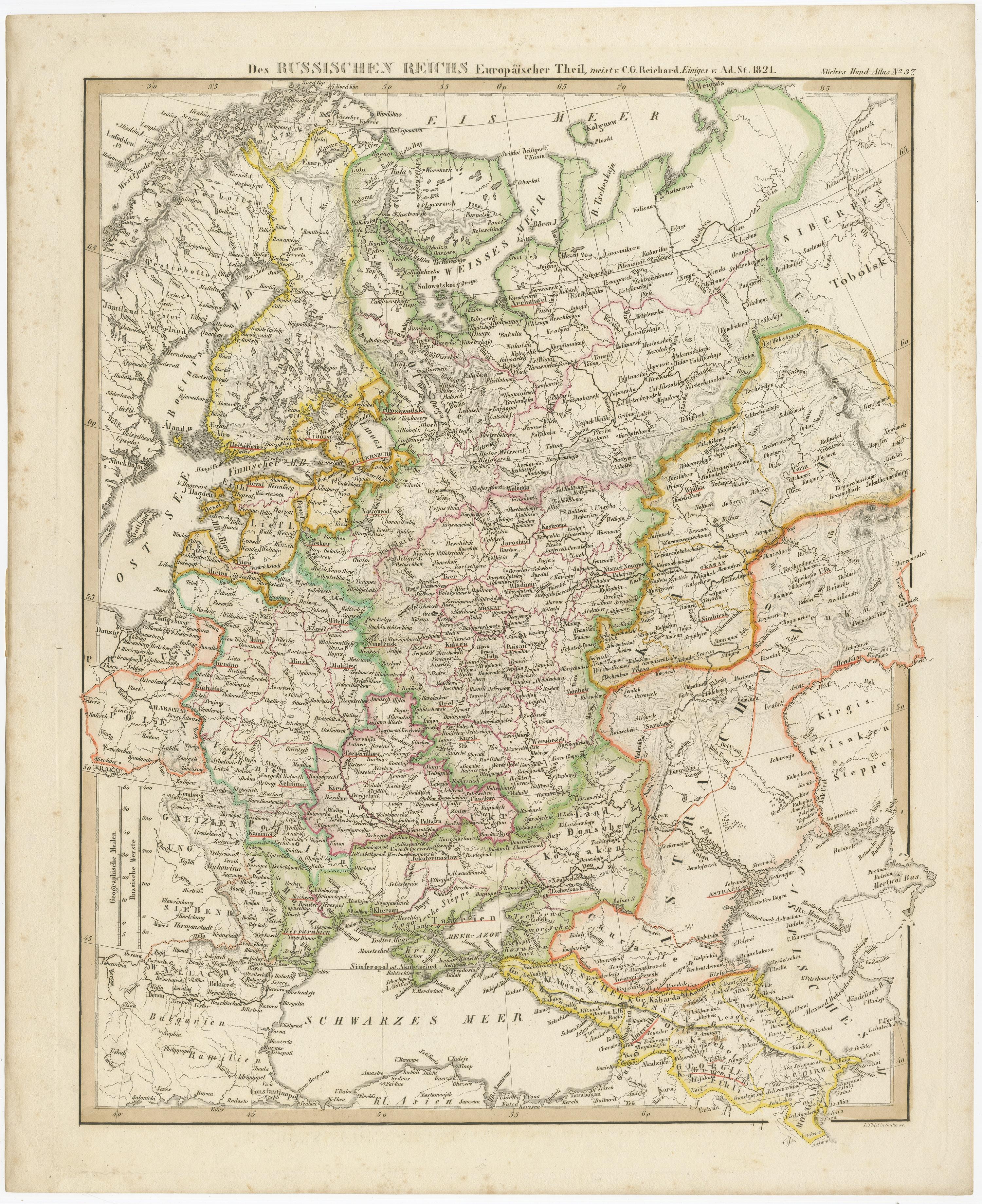
Original Antique German Map of the Russian Empire in Europe, ca.1825

€ 180

One of a kind: this is the sheet in the photographs. Ships from Langweer, the Netherlands.

Date
1825
Sheet size
31.4 × 36 cm (12.4 × 14.2 in)
Condition
Good
Reference
G-12994-6

Condition

general age-related toning. Original folding line. Blank verso. Please study image carefully.
About this sheet

Antique map titled 'Des Russischen Reichs - Europäische Theil'.

Original antique map of the Russian Empire in Europe. This map originates from 'Stielers Handatlas'. Published circa 1825.

Artists and Engravers: Stielers Handatlas (after Adolf Stieler, 1775–1836), formally titled Hand-Atlas über alle Theile der Erde und über das Weltgebäude (Handy atlas of all parts of the world and of the universe), was the leading German world atlas of the last three decades of the 19th and the first half of the 20th century.

More from Germany

Ask about this sheet

Original Antique German Map of the Russian Empire in Europe, ca.1825
1825 · Ref. G-12994-6 · € 180
We reply by email, usually within one working day.