Maps & PrintsBartele Gallery · Langweer
Home / Antique Maps / World Maps

World Maps · 18th century

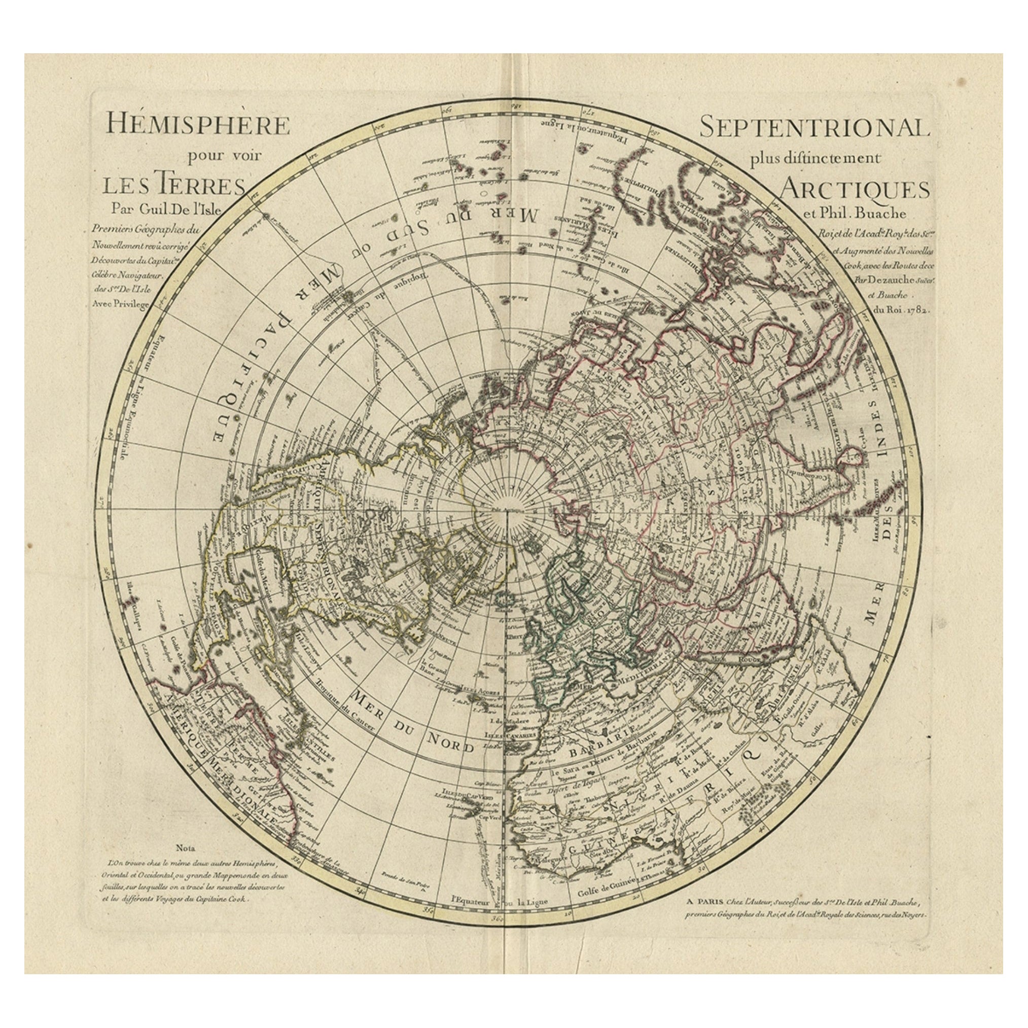
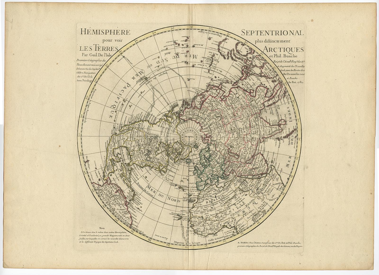
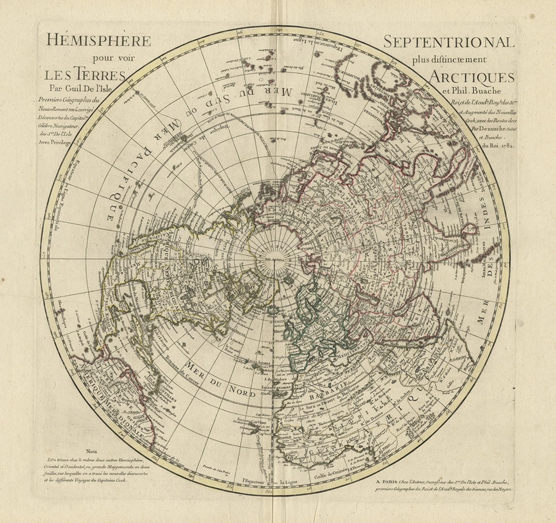
Antique Map of the Northern Hemisphere, 1782

€ 1 500

Original antique · The actual sheet photographed · Certificate of authenticity on request · Sold unframed · Worldwide shipping from € 15 (rates)

Date
1782
Sheet size
55 × 75 cm (21.7 × 29.5 in)
Condition
Good
Reference
BG-00872

About this sheet

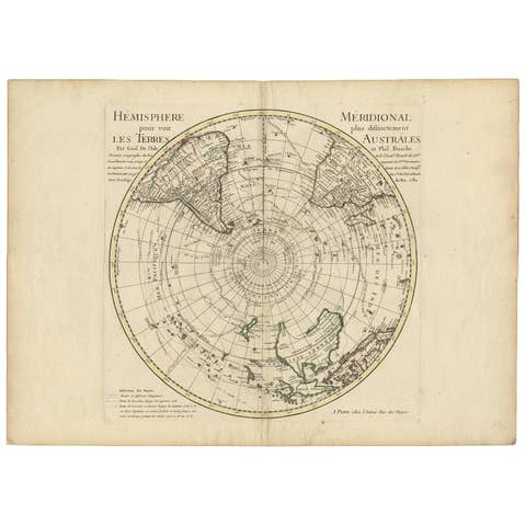
Antique map titled 'Hémisphère Septentrional pour voir plus distinctement les Terres Arctiques (..)'.

Map of the Northern Hemisphere, originally published by Gulliaume De L'Isle in 1714 and revised and corrected on a regular basis by De L'Isle, Buache and Dezauche.

Artists and Engravers: Jean André Dezauche.

Condition: Very good, general age-related toning. Please study image carefully.

More from World Maps

Ask about this sheet

Antique Map of the Northern Hemisphere, 1782
1782 · Ref. BG-00872 · € 1 500
We reply by email, usually within one working day.