Antique Maps
2,327 original sheets
Europe 3023Asia 1110Africa 236America 548Australia & Oceania 159World Maps 111Sea Charts 209Celestial Maps 22
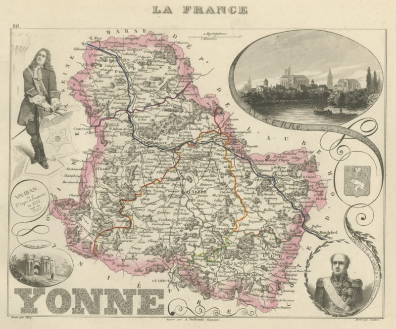
Antique Map of the Yonne, Auxerre, Vauban and Marshal Davout, circa 1860
circa 1860 · € 220
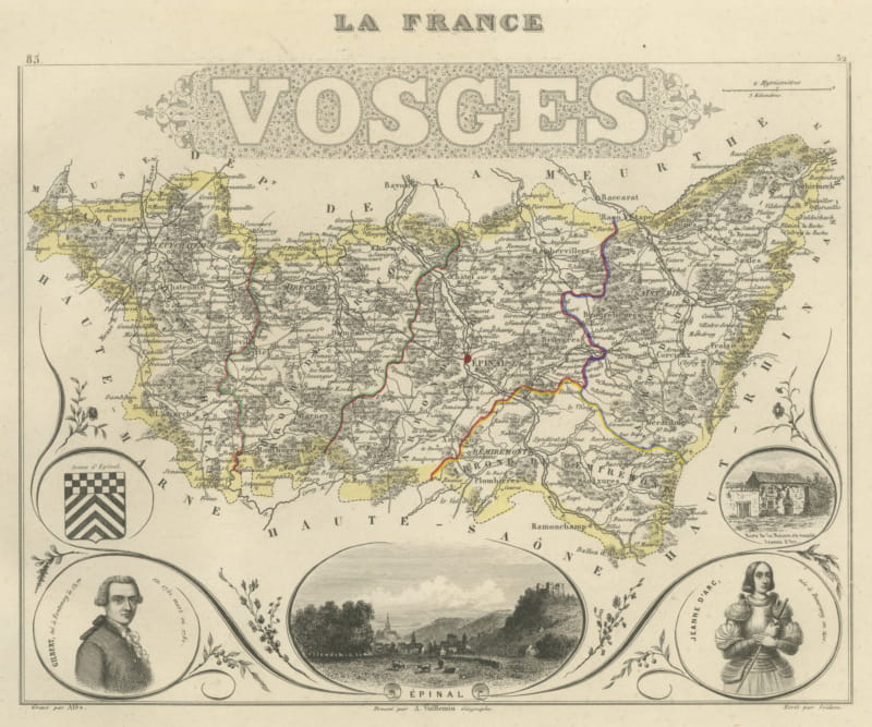
Antique Map of the Vosges, Epinal and Saint-Die, Vuillemin, circa 1860
circa 1860 · € 220
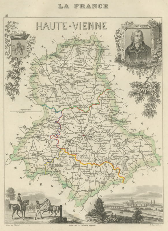
Antique Map of the Haute-Vienne, Limoges and Marshal Jourdan, circa 1860
circa 1860 · € 220
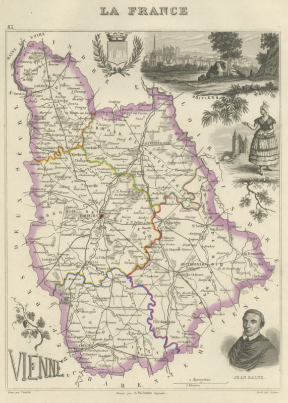
Antique Map of the Vienne, Poitiers and Cardinal Jean Balue, circa 1860
circa 1860 · € 220
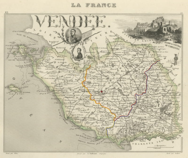
Antique Map of the Vendee, Noirmoutier and the Ruins of Tiffauges, circa 1860
circa 1860 · € 220
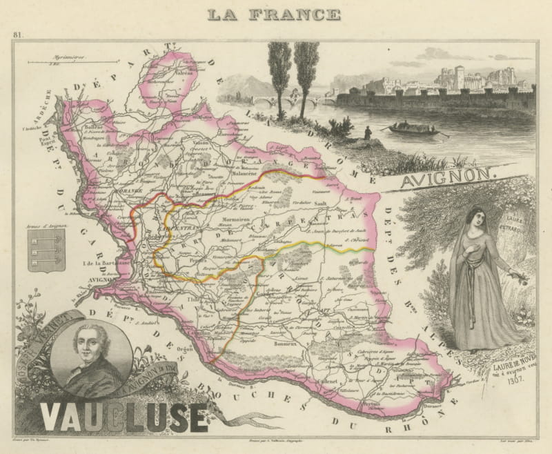
Antique Map of the Vaucluse, Avignon and Petrarch's Laura, circa 1860
circa 1860 · € 220
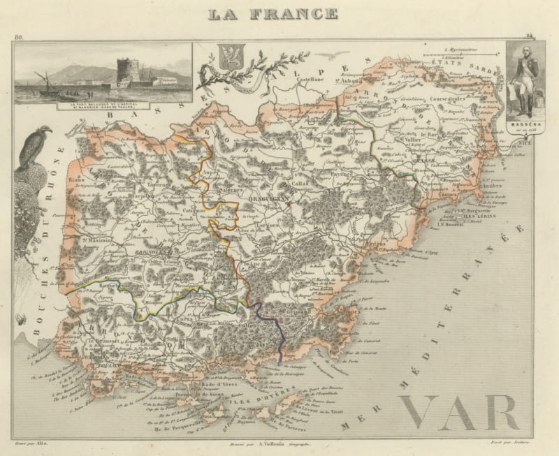
Antique Map of the Var, Draguignan, Before Nice Was French, circa 1860
circa 1860 · € 220
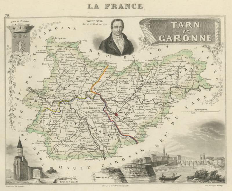
Antique Map of Tarn-et-Garonne, Montauban and Castelsarrasin, circa 1860
circa 1860 · € 220
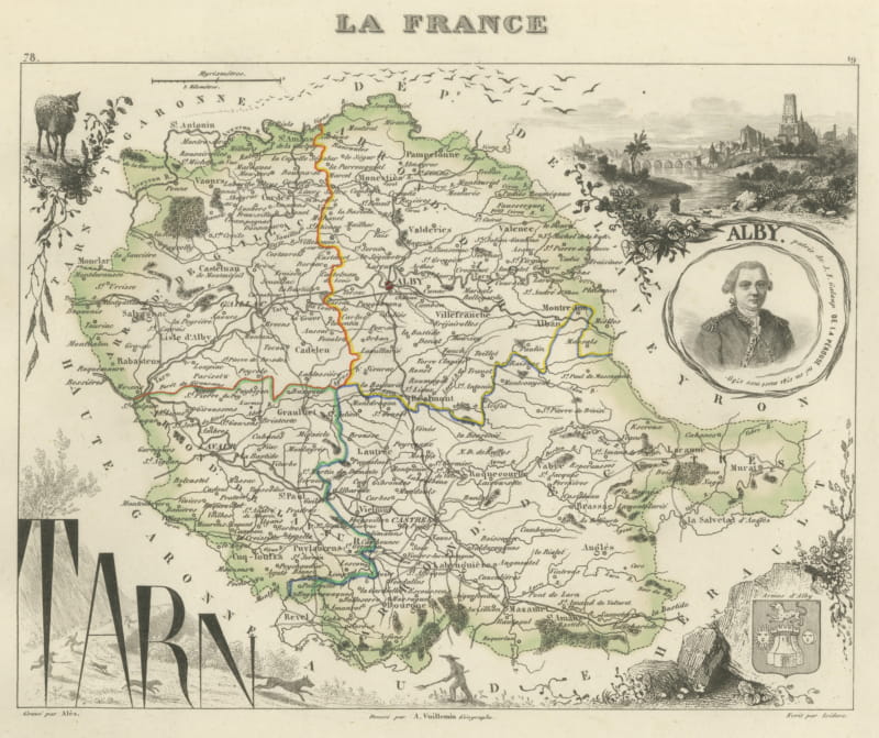
Antique Map of the Tarn, Albi and the Navigator La Perouse, circa 1860
circa 1860 · € 220
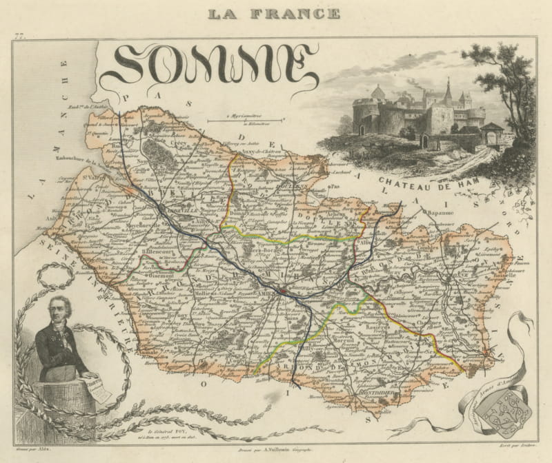
Antique Map of the Somme, Amiens and Abbeville, Vuillemin, circa 1860
circa 1860 · € 220
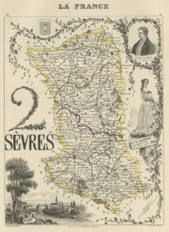
Antique Map of the Deux-Sevres, Niort and Madame de Maintenon, circa 1860
circa 1860 · € 220
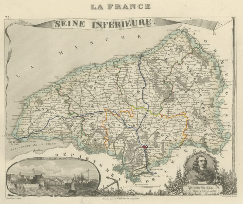
Antique Map of the Seine-Inferieure, Le Havre and Corneille, circa 1860
circa 1860 · € 220
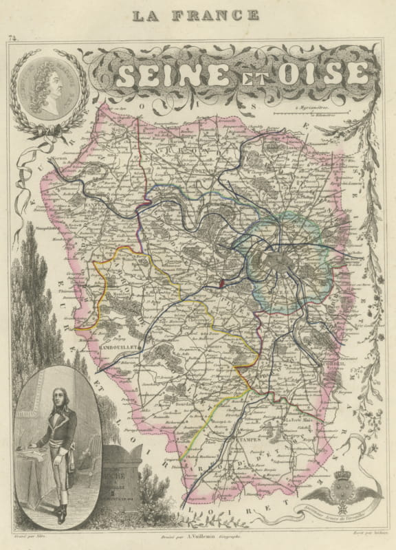
Antique Map of the Seine et Oise, Versailles, Vuillemin, circa 1860
circa 1860 · € 240
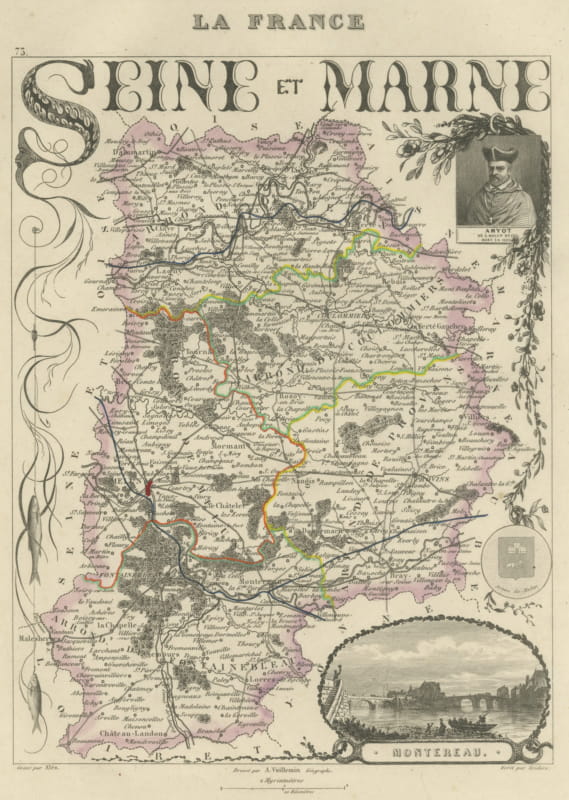
Antique Map of Seine-et-Marne, Fontainebleau and Amyot, circa 1860
circa 1860 · € 250
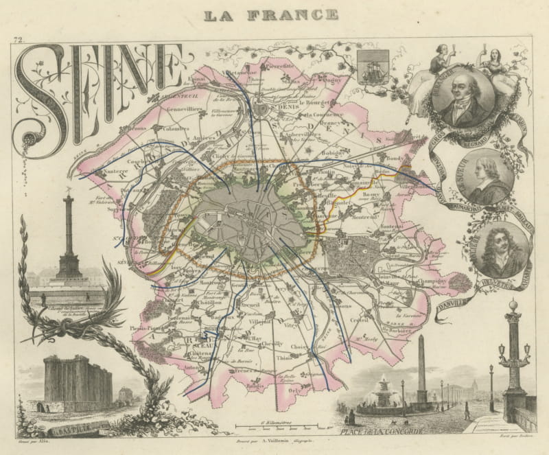
Antique Map of the Seine, Paris and its Suburbs, Vuillemin, circa 1860
circa 1860 · € 320
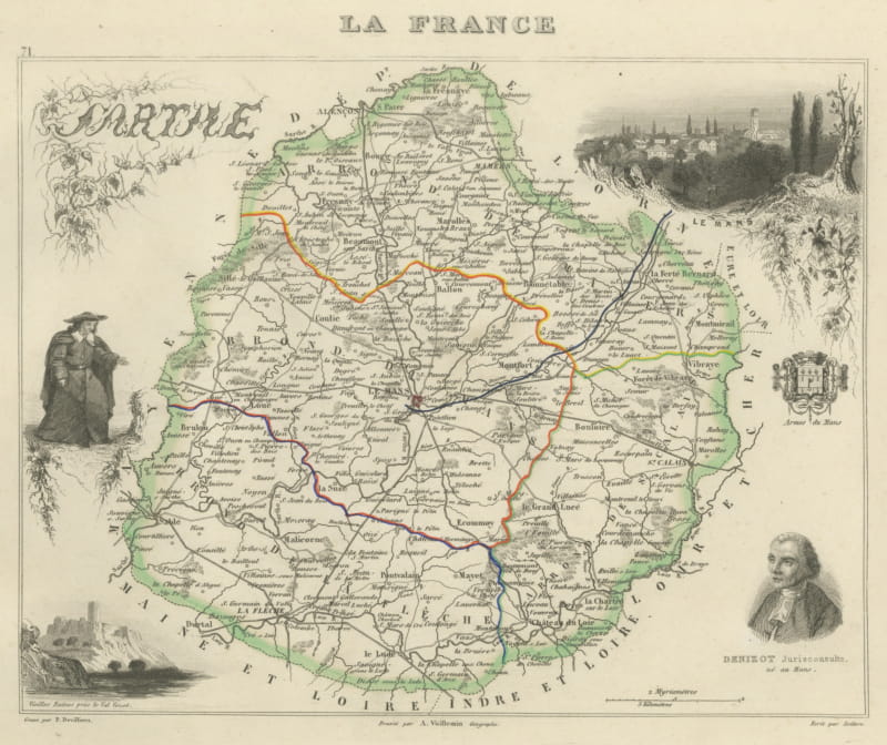
Antique Map of the Sarthe, Le Mans and the Jurist Denizot, circa 1860
circa 1860 · € 220
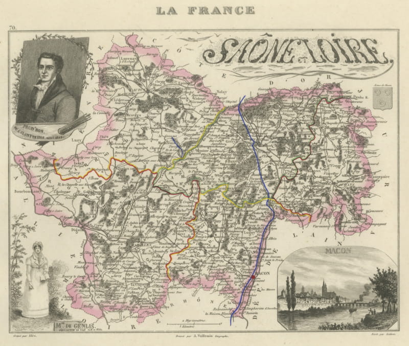
Antique Map of the Saone et Loire, Macon and Chalon, Vuillemin, circa 1860
circa 1860 · € 220
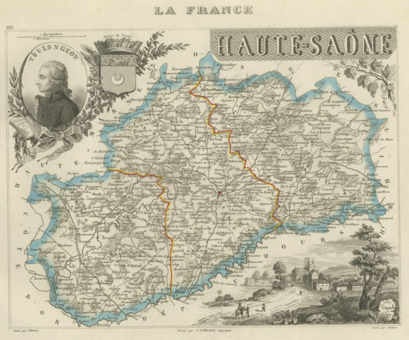
Antique Map of the Haute-Saone, Vesoul and Gray, Vuillemin, circa 1860
circa 1860 · € 220
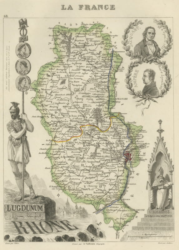
Antique Map of the Rhone, Lyon and Ancient Lugdunum, Vuillemin, circa 1860
circa 1860 · € 220
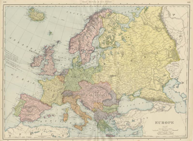
Antique Map of Europe, Before the First World War, Rand McNally, 1899
1899 · € 345
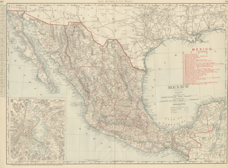
Antique Map of Mexico, with Valley of Mexico Inset, Rand McNally, 1899
1899 · € 395
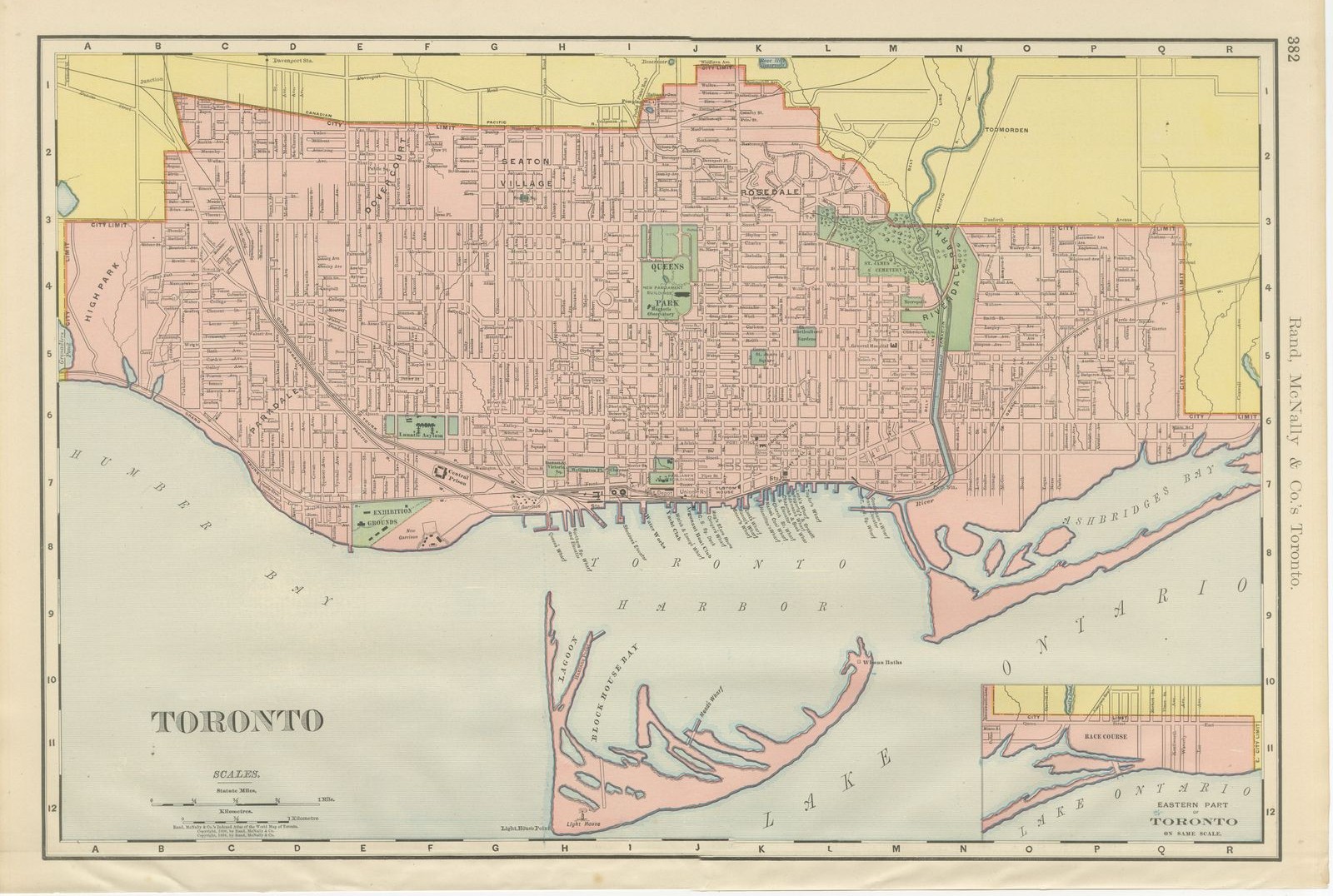
Antique Map of Toronto, with Queen's Park, Rand McNally, 1899
1899 · € 295
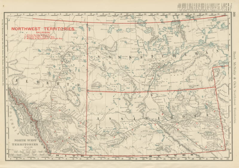
Antique Map of the North West Territories, Before Alberta and Saskatchewan, 1899
1899 · € 295
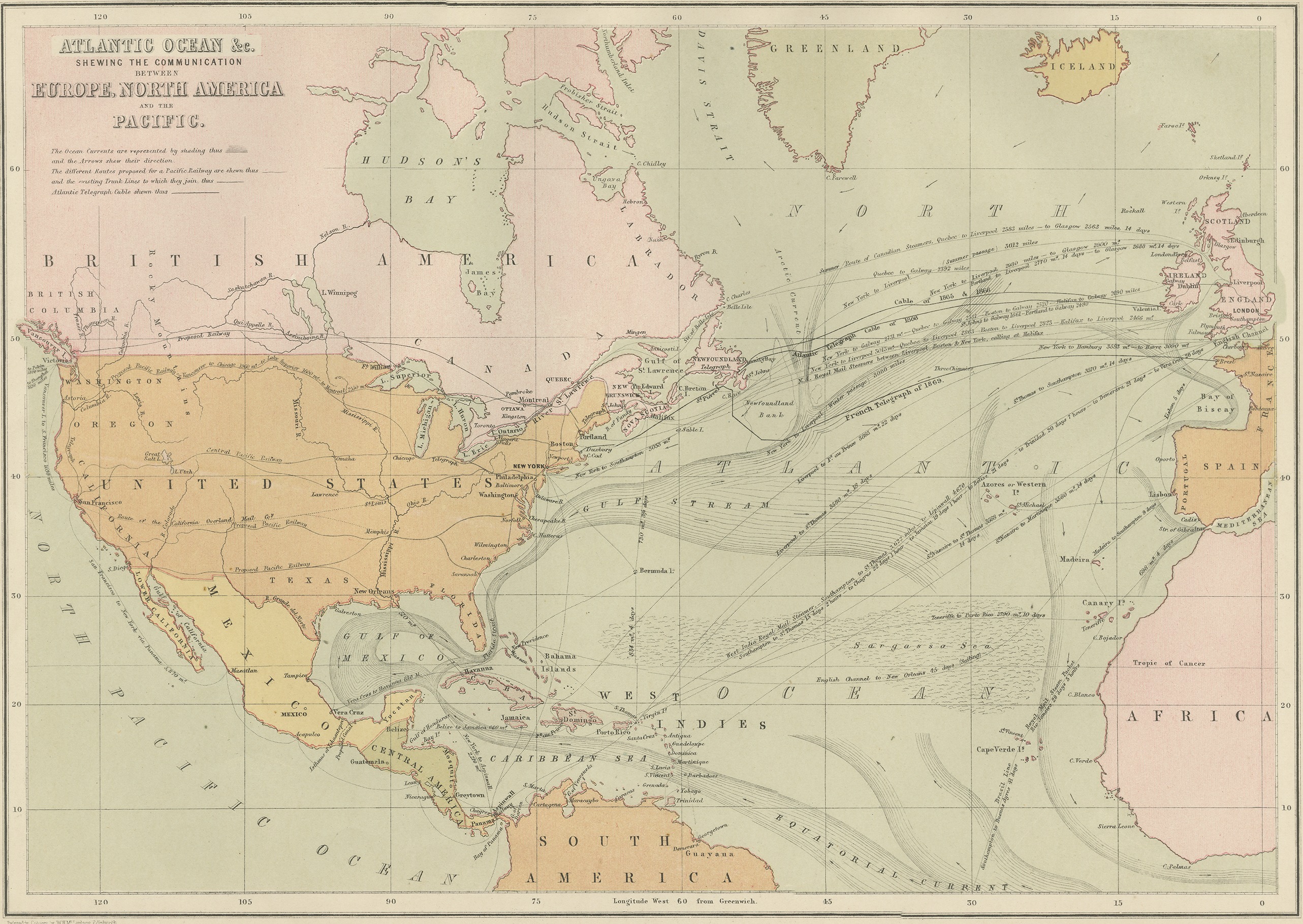
Antique Chart of the Atlantic Ocean, Europe to North America Route, 1870
1870 · € 240
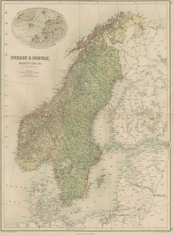
Antique Map of Sweden and Norway, Baltic Sea, Black's General Atlas, 1870
1870 · € 240
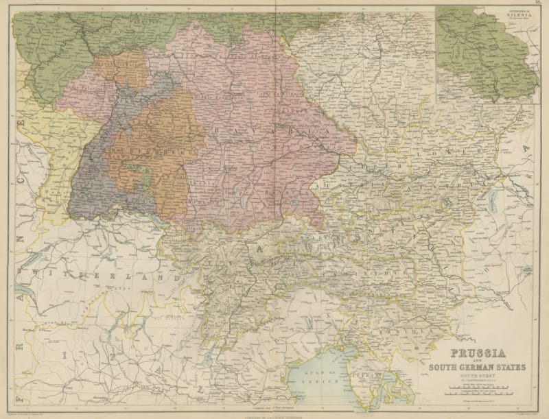
Antique Map of Prussia and the South German States, Black's General Atlas, 1870
1870 · € 240
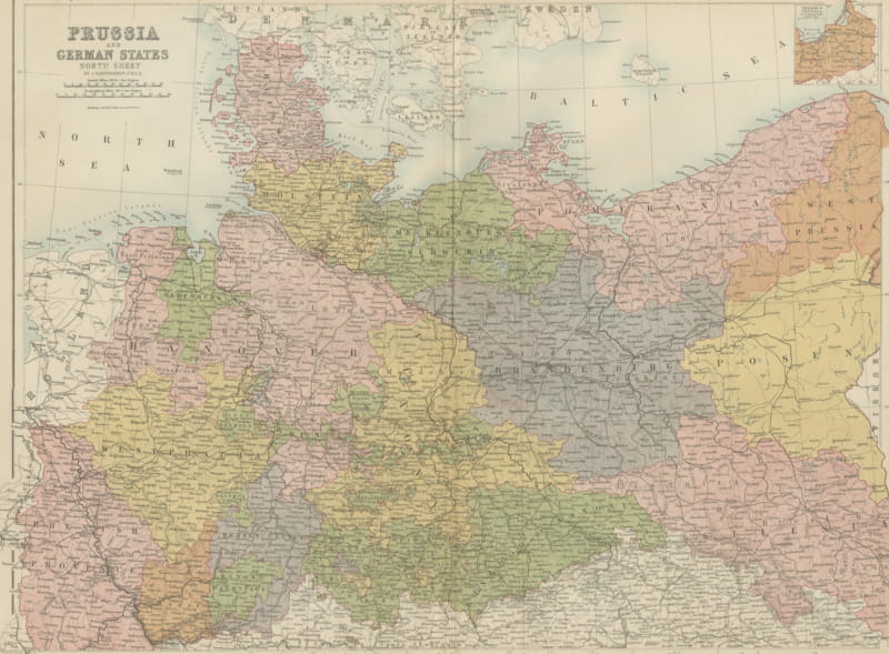
Antique Map of Prussia and the German States, North Sheet, Bartholomew, 1870
1870 · € 240
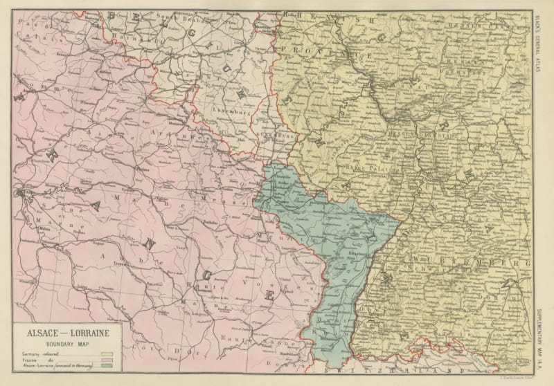
Antique Map of Alsace-Lorraine, Annexed to Germany, Bartholomew, circa 1871
circa 1871 · € 240
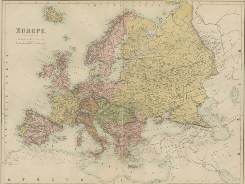
Antique Map of Europe, Black's General Atlas, Edinburgh, 1870
1870 · € 290
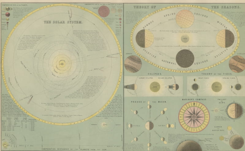
Antique Solar System Chart with the Seasons and Phases of the Moon, 1870
1870 · € 280
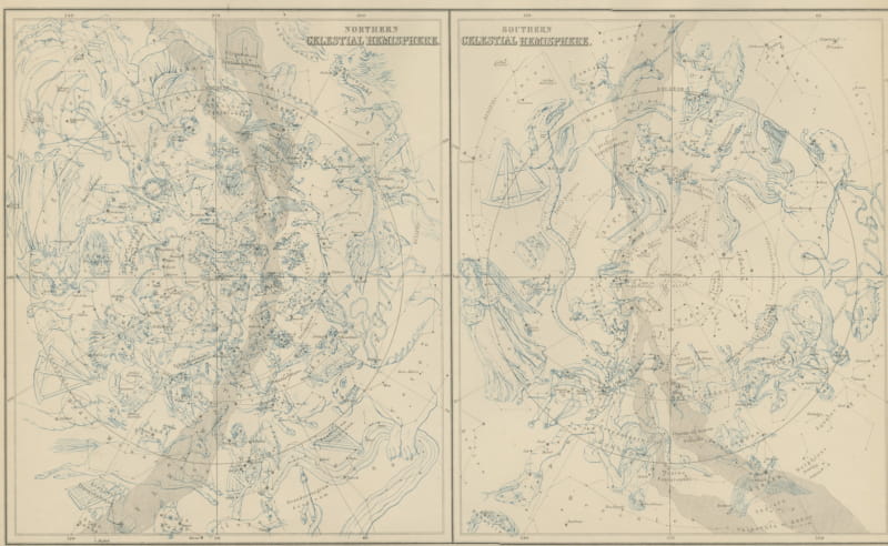
Antique Star Chart of Both Celestial Hemispheres, Black's General Atlas, 1870
1870 · € 280
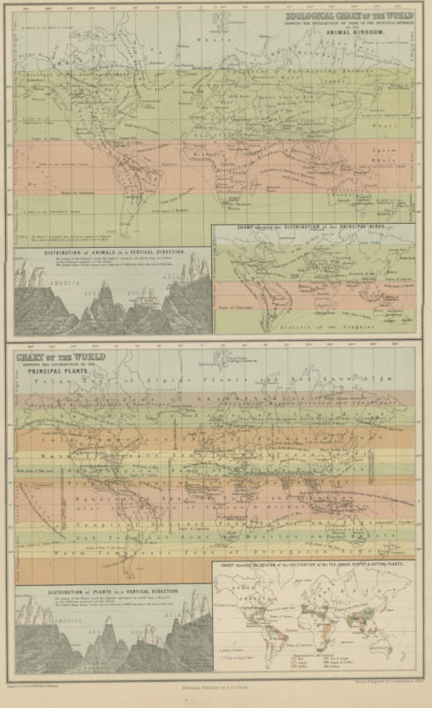
Antique Chart of the World, Tea, Sugar, Coffee and Cotton Regions, 1870
1870 · € 260
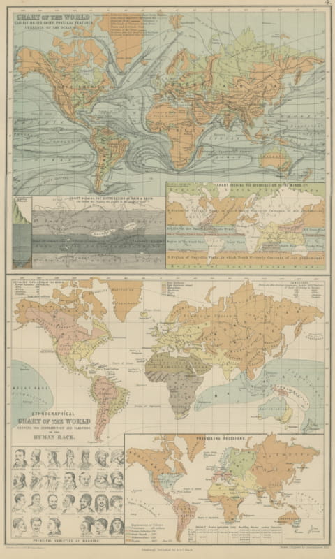
Antique Chart of the World, Winds, Currents and Races of Mankind, 1870
1870 · € 260
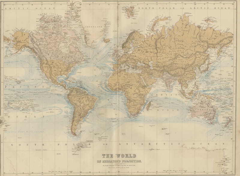
Antique Map of the World on Mercator's Projection, Black's General Atlas, 1870
1870 · € 290
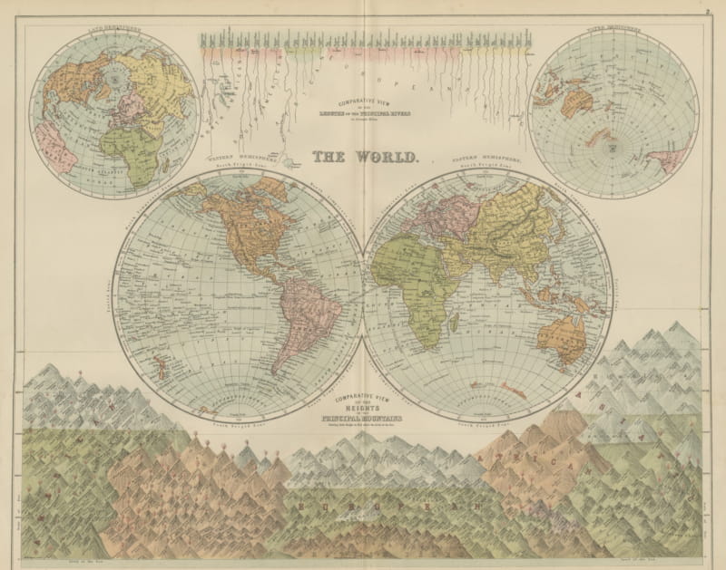
Antique Map of the World in Two Hemispheres, with Rivers and Mountains, 1870
1870 · € 330
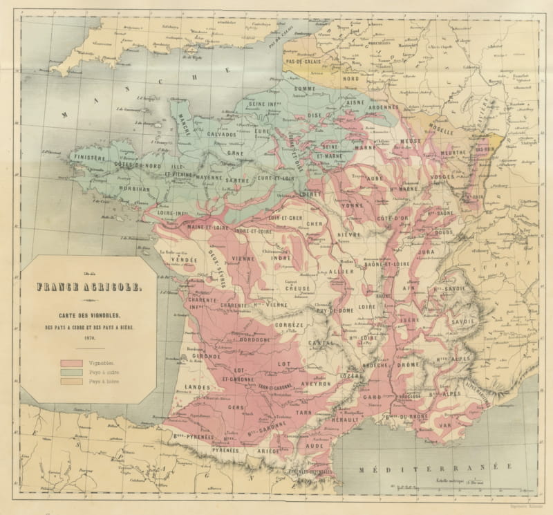
Antique Map of France, Wine, Cider and Beer Regions, Vienna, 1873
1873 · € 565
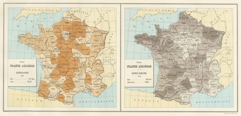
Antique Maps of France, Sheep and Pig Stock, Vienna Exposition, 1873
1873 · € 240
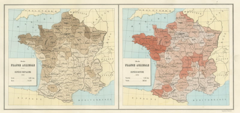
Antique Maps of France, Horse and Cattle Stock, Vienna Exposition, 1873
1873 · € 240
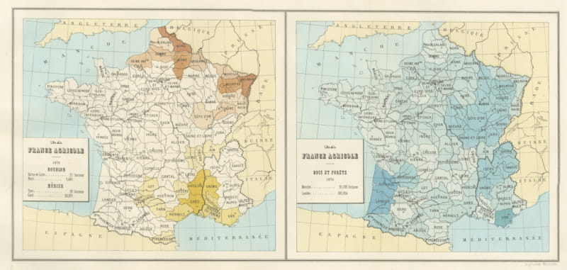
Antique Maps of France, Hops, Mulberry and Forests, Vienna, 1873
1873 · € 240
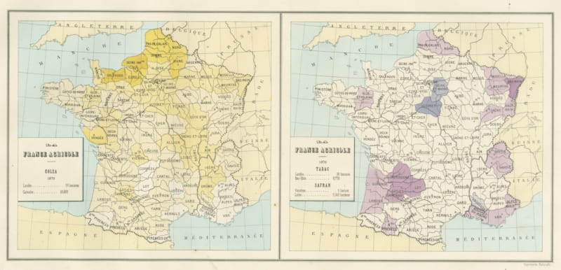
Antique Maps of France, Rapeseed, Tobacco and Saffron, 1873
1873 · € 230
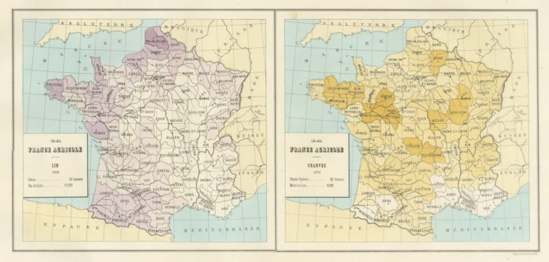
Antique Maps of France, Flax and Hemp Growing, Vienna Exposition, 1873
1873 · € 230
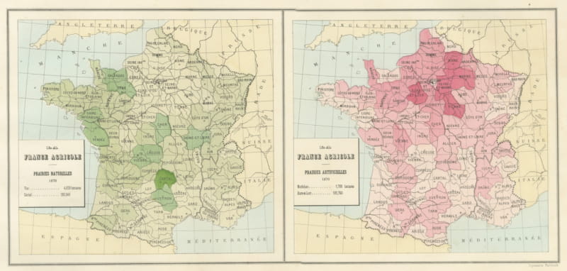
Antique Maps of France, Natural and Sown Meadows, Vienna Exposition, 1873
1873 · € 230
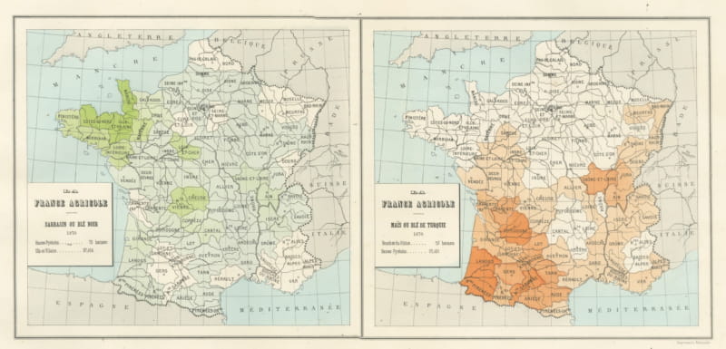
Antique Maps of France, Buckwheat and Maize, Vienna Exposition, 1873
1873 · € 190
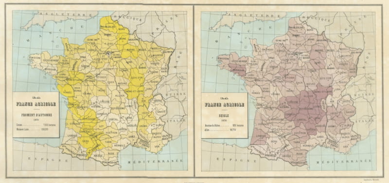
Antique Maps of France, Autumn Wheat and Rye, Vienna Exposition, 1873
1873 · € 210
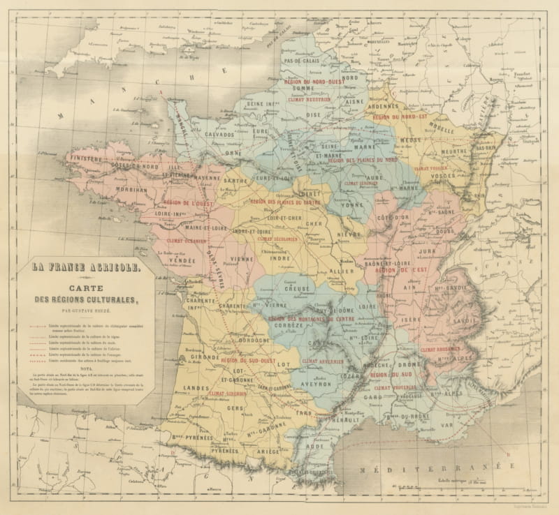
Antique Map of France, Cultural Regions and Climates, Heuze, 1873
1873 · € 320
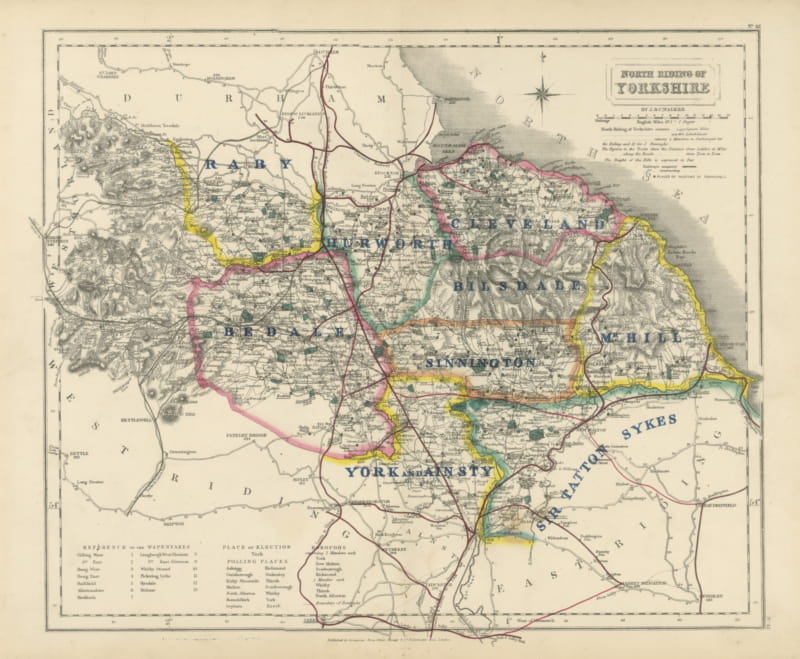
Hobson Fox Hunting Map of Yorkshire North Riding, Bedale Hunt, circa 1870
c. 1870 · € 350
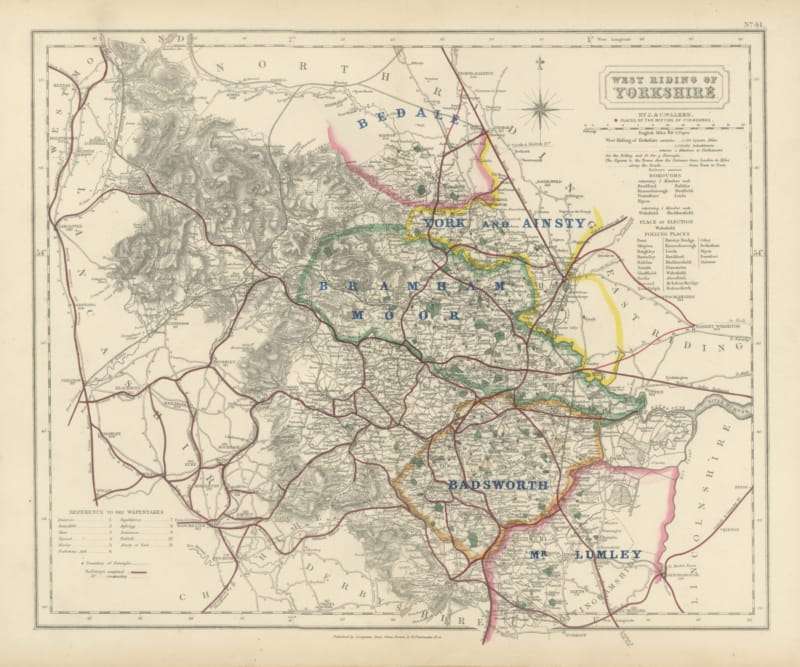
Hobson Fox Hunting Map of Yorkshire West Riding, Bramham Moor Hunt, circa 1870
c. 1870 · € 330
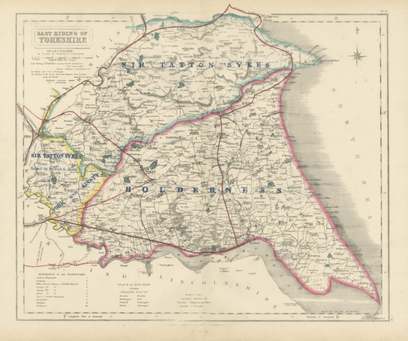
Hobson Fox Hunting Map of Yorkshire East Riding, Holderness Hunt, circa 1870
c. 1870 · € 320