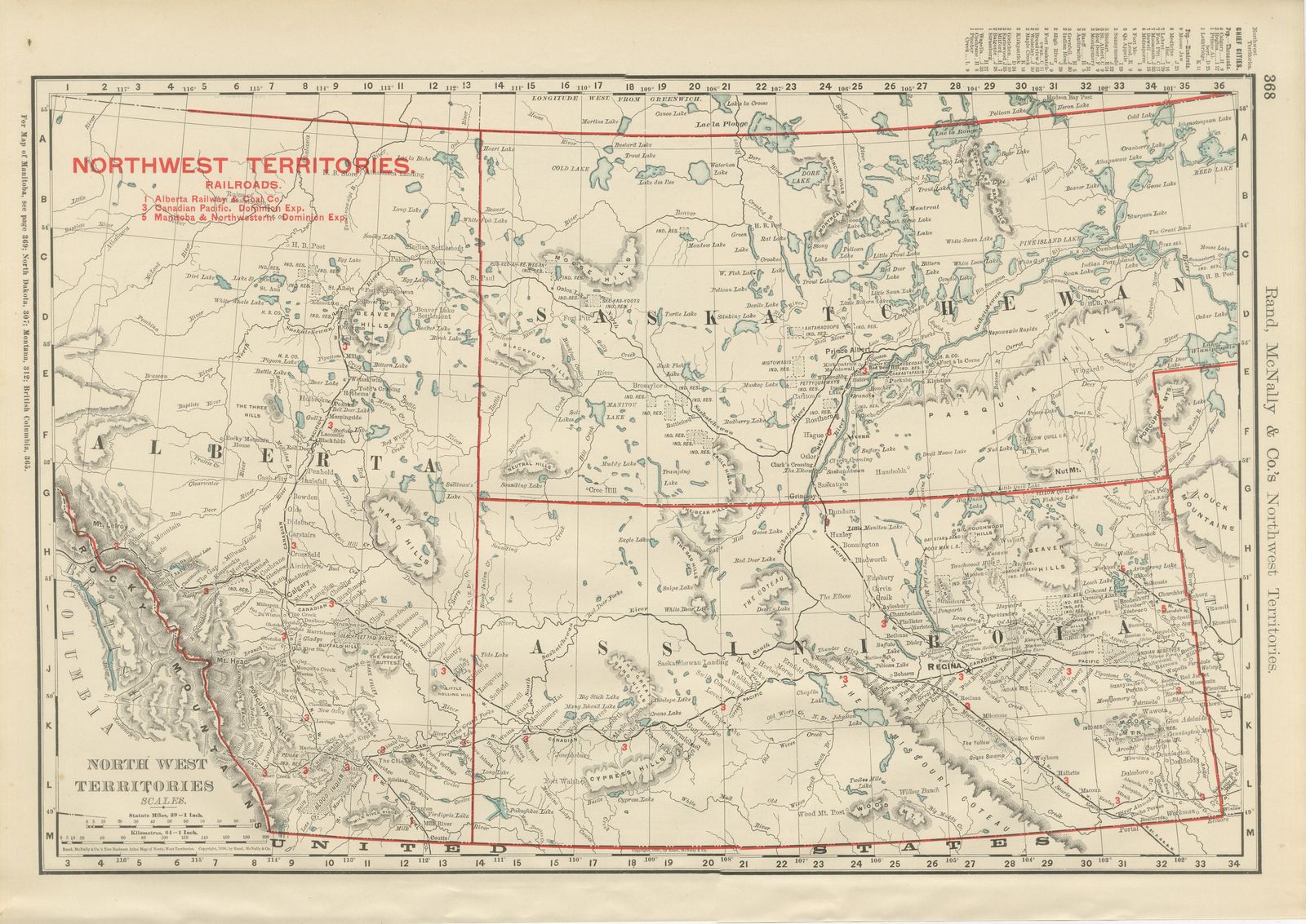
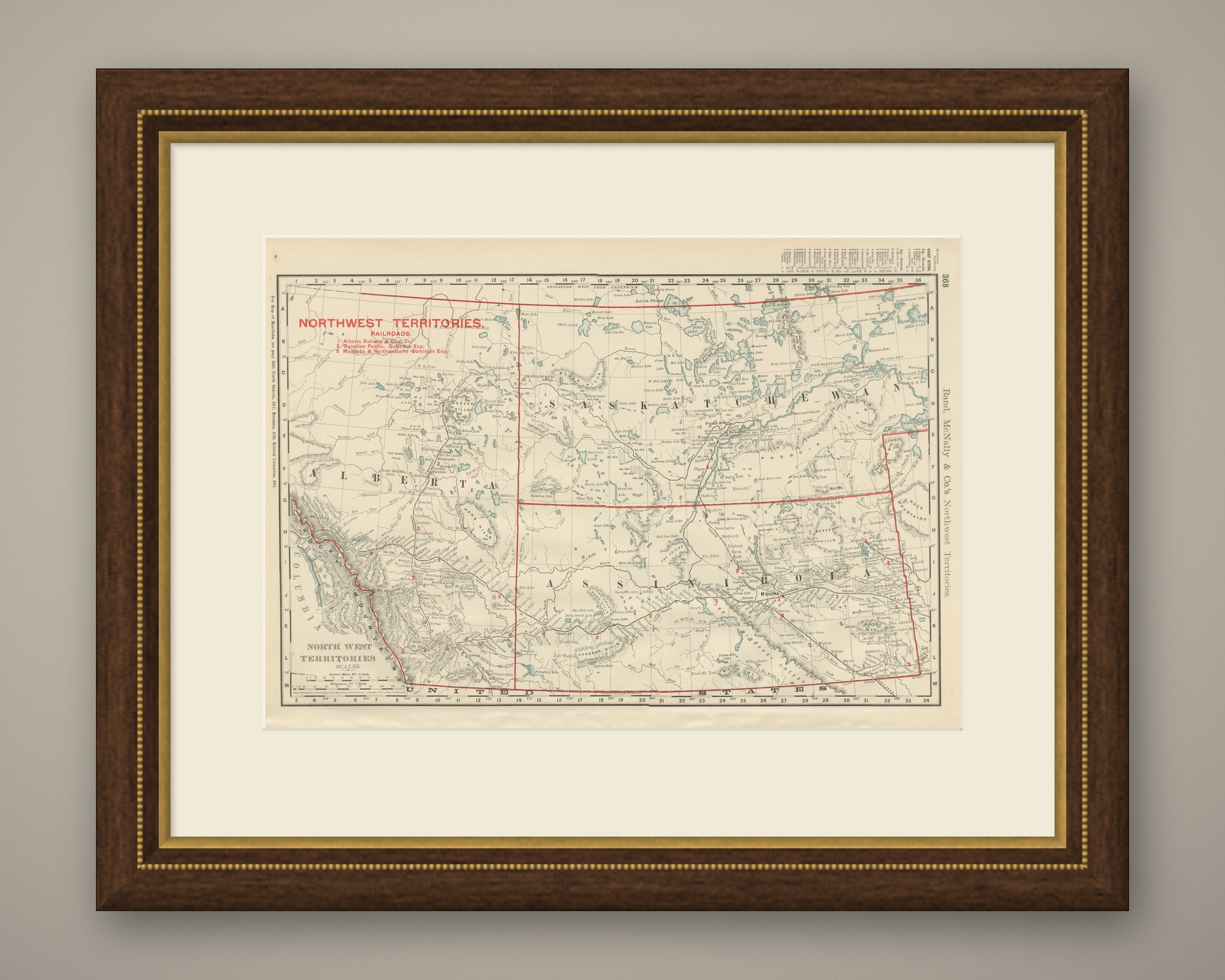
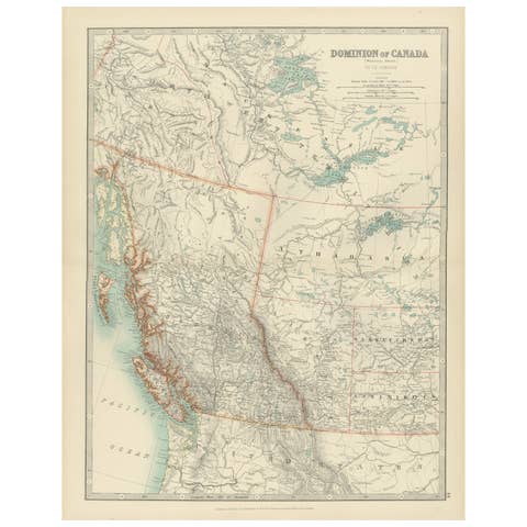
Antique Map of the North West Territories, Before Alberta and Saskatchewan, 1899
€ 295
Original antique · The actual sheet photographed · Certificate of authenticity on request · Sold unframed · Worldwide shipping from € 15 (rates)
Date
1899
Mapmaker / artist
Rand, McNally & Co.
Publisher
Rand, McNally & Co., Chicago
Technique
Lithograph
Colouring
Printed colour
Condition
Good
Reference
BG-12793-2-79
Condition
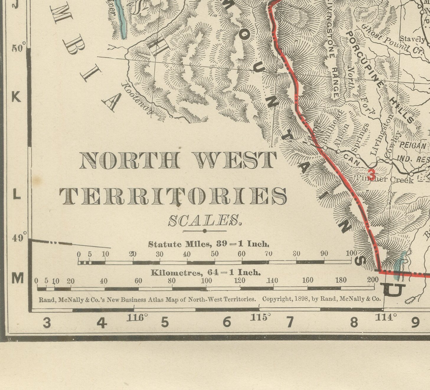
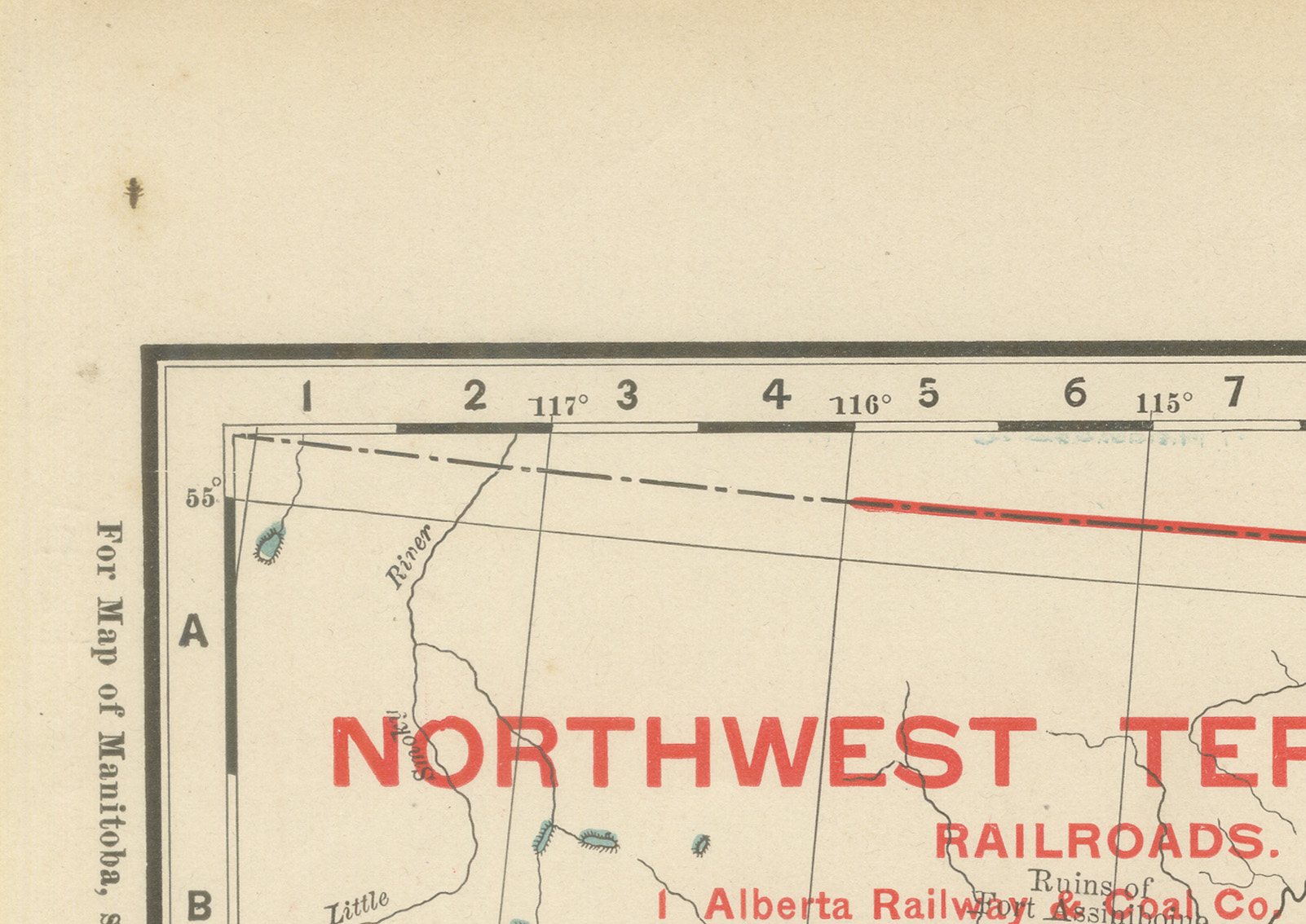
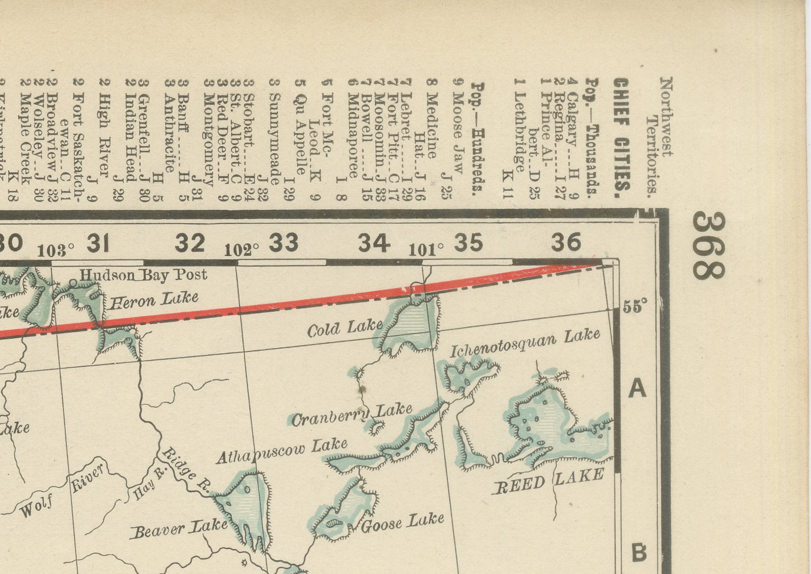
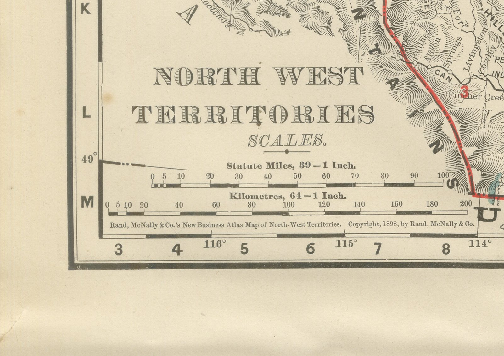
Good condition for its age. Light age toning, a small dark spot in the upper left margin and minor wear to the sheet edges. Please review the images for further condition details.
About this sheet
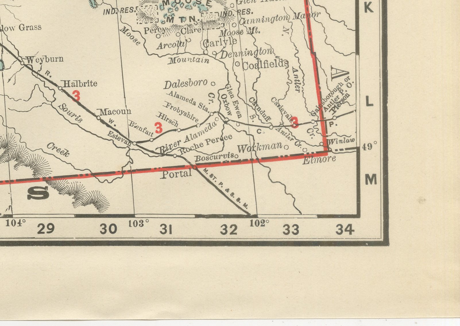
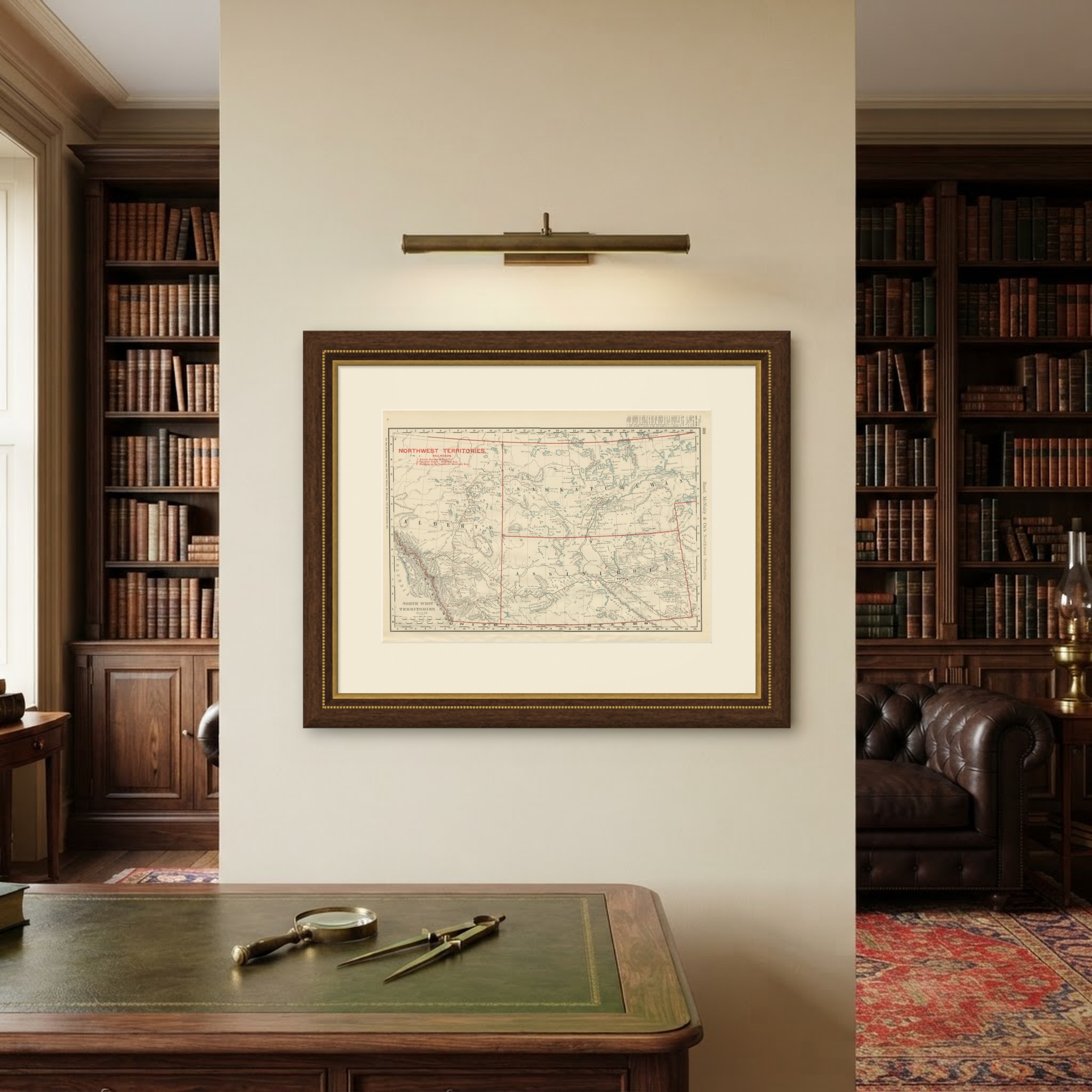
Rand McNally's antique map of the North West Territories, printed in 1899 on page 368 of the firm's indexed atlas, shows the pre-provincial districts of Alberta, Saskatchewan and Assiniboia, Canada's prairie west before Alberta and Saskatchewan became provinces in 1905, from the Rocky Mountains and the British Columbia border in the west to the Manitoba line in the east. Indian reserve lands, including the Blackfoot, Sarcee, Stony and Peigan reserves in Alberta and several unnamed reserves along the North and South Saskatchewan Rivers, are outlined and labelled, a feature of real interest given how recently, only a couple of decades before this sheet was printed, treaty boundaries in the region had been fixed.
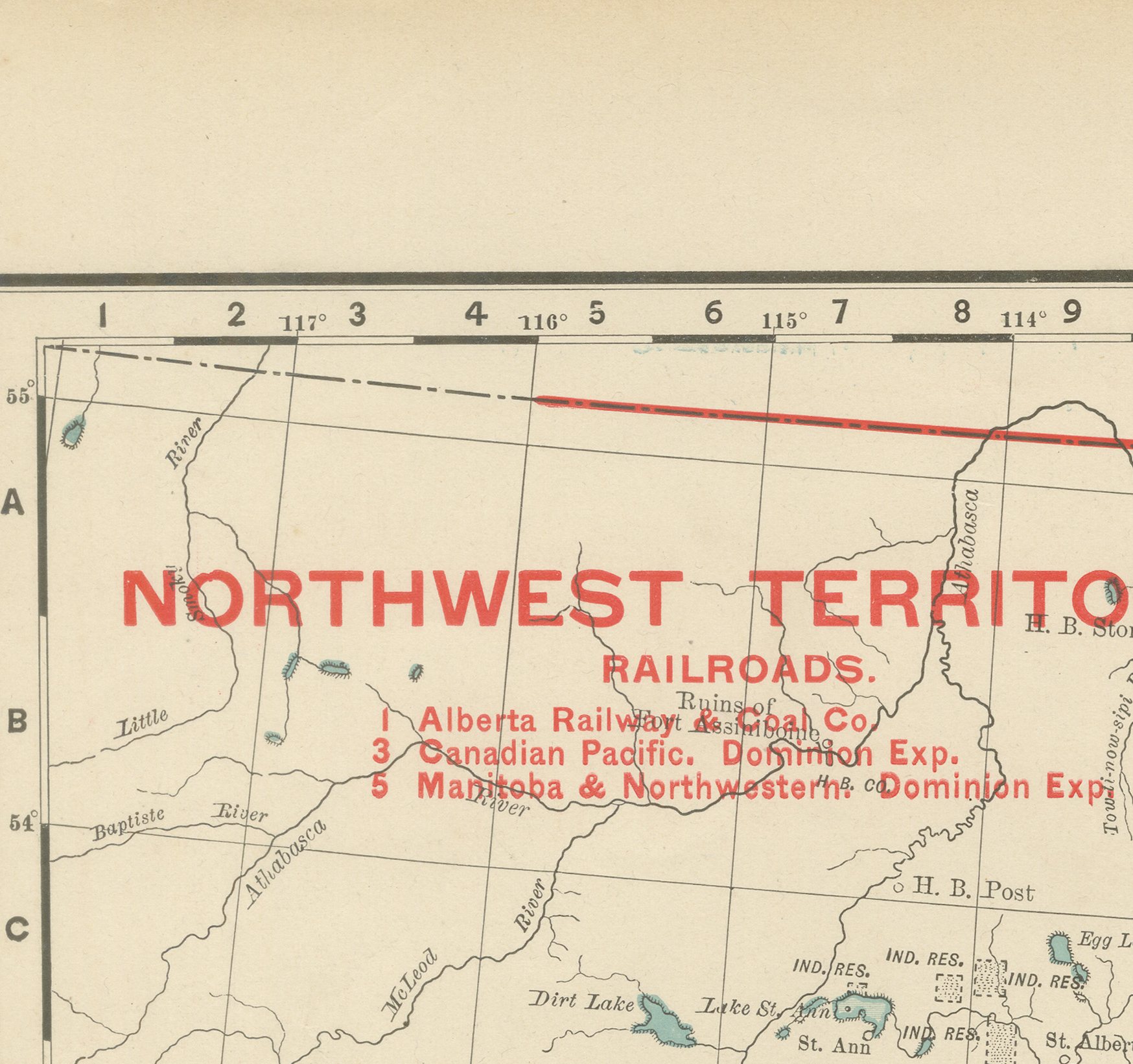
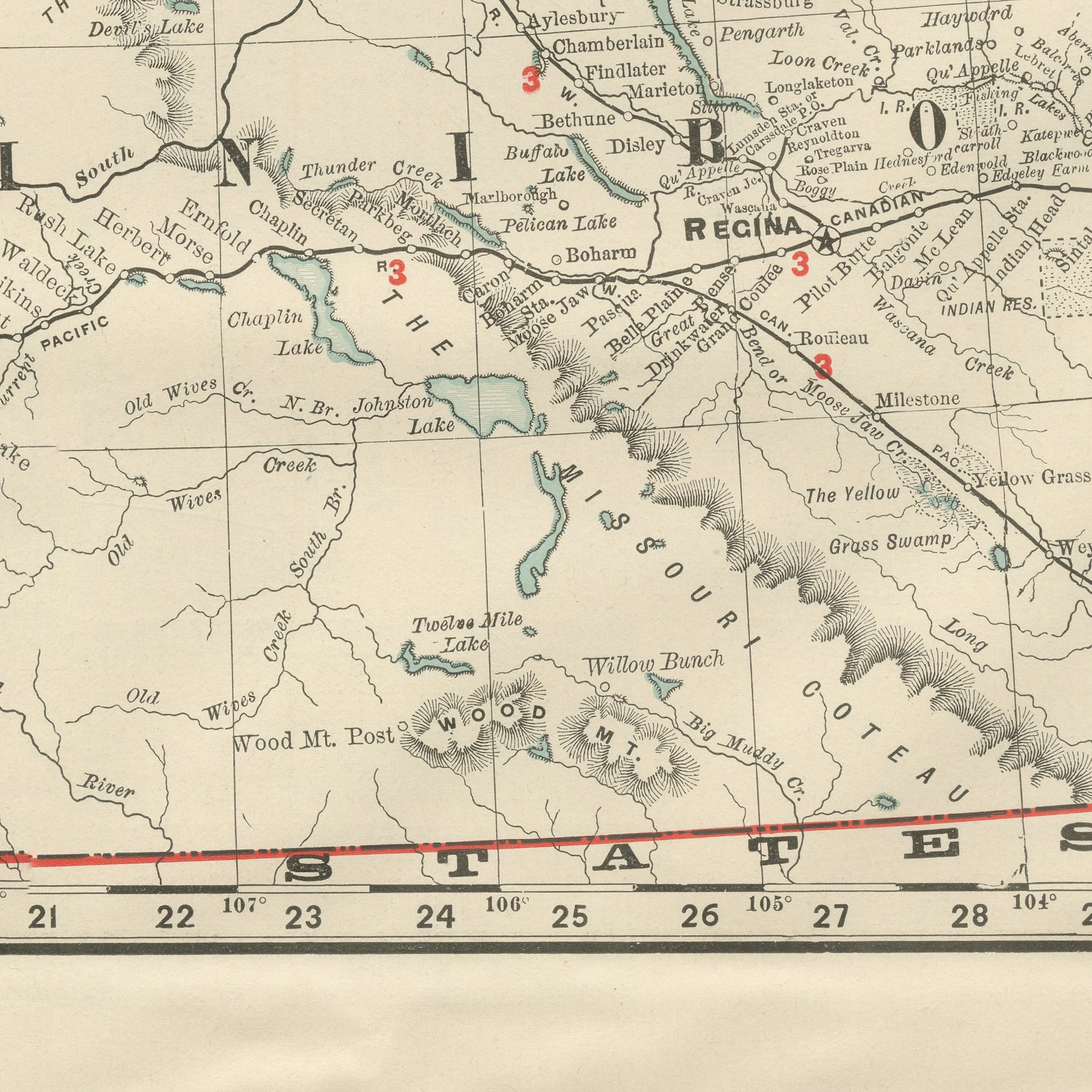
A red railroad legend at upper left numbers three lines: the Alberta Railway and Coal Company, the Canadian Pacific main line with its Dominion Express service, and the Manitoba and North-Western. The Canadian Pacific runs east to west across the southern part of the sheet through Regina, the territorial capital, whose grid plan is visible even at this small scale, and a secondary line runs north to Prince Albert. Ranching and grazing country is noted across the semi-arid short-grass districts of Assiniboia, while the Cypress Hills and the Rocky Mountain foothills are rendered in hachured relief along the western edge.
Scale is given as 39 statute miles to the inch, and a note at upper left directs the reader to the adjoining Manitoba sheet. The map is a useful period document of the Canadian prairie on the eve of the great wheat-settlement boom of the following decade, still organised as federal territory rather than as the provinces it would soon become.
Rand McNally grew from William Rand's Chicago printing business of the 1850s, joined by Andrew McNally, into one of the leading map publishers in the United States by the 1890s. This antique map of the North West Territories is a colour lithograph, the outline printed in black with the colours printed over it, and an original 1899 atlas sheet. It is suitable for framing. The colour is printed rather than applied by hand.
The sheet is in good condition for its age, with light age toning, a small dark spot in the upper left margin and minor wear to the sheet edges. Please review the images for further condition details.
This is an original antique map, not a modern reproduction. This item is sold unframed. Any framed or interior images are shown for presentation and inspiration only, unless the listing explicitly states that the item is sold framed.