About this sheet
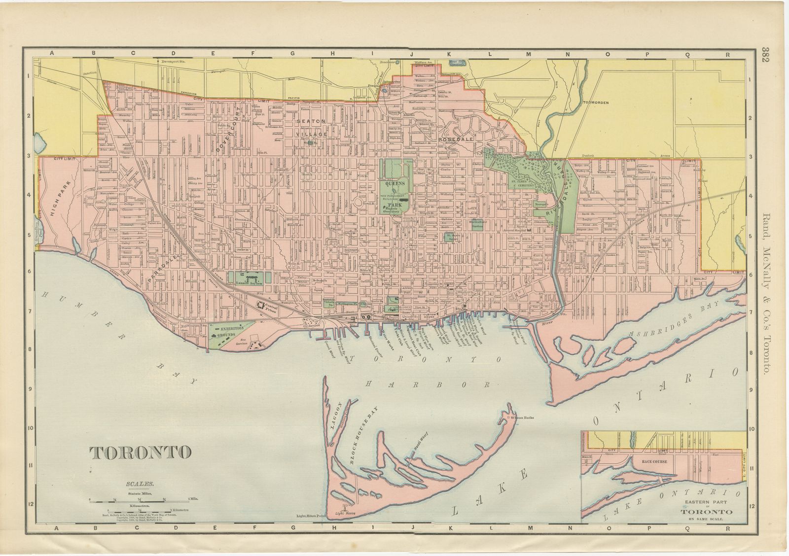
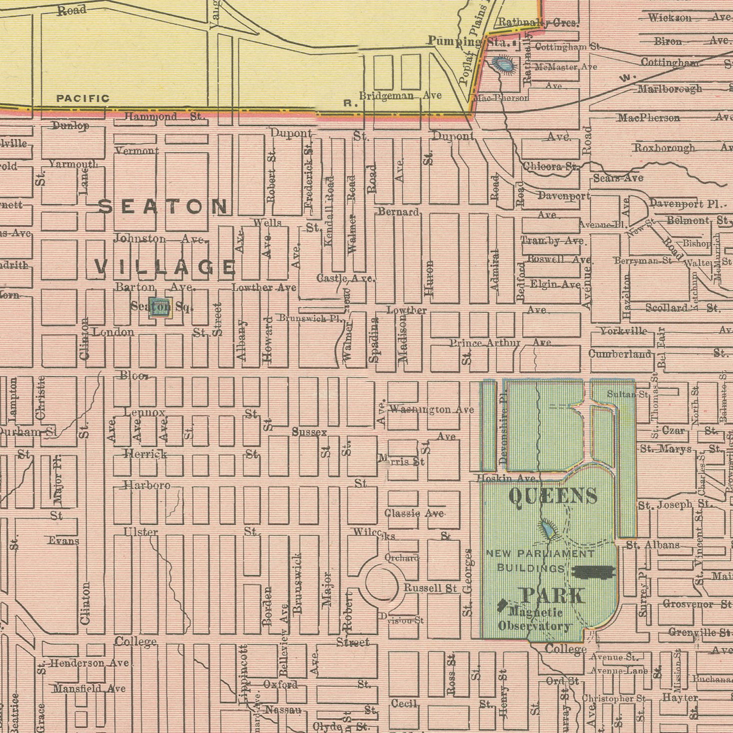
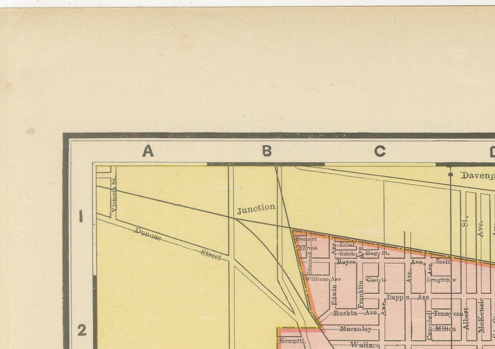
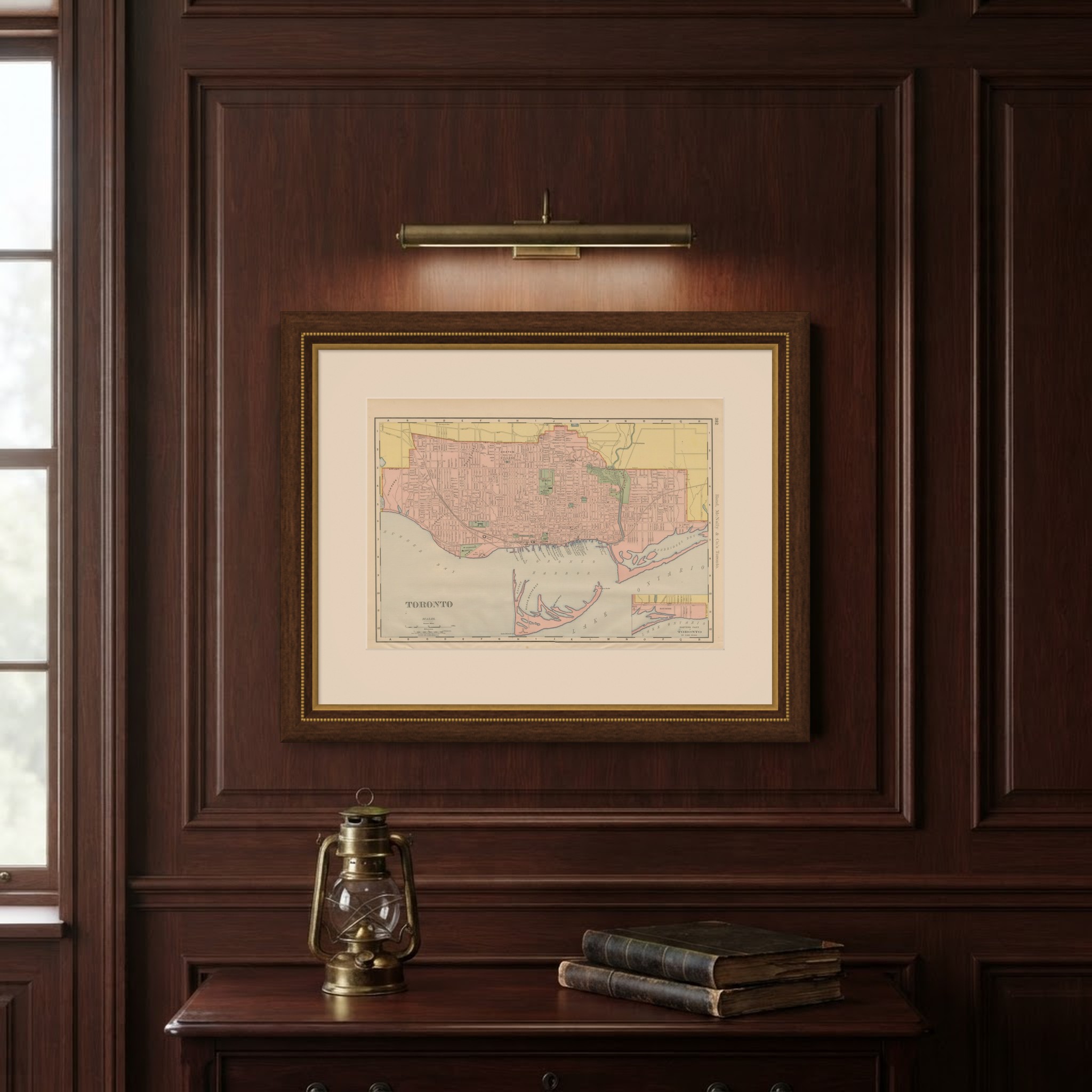
Rand McNally's antique map of Toronto, a detailed street plan printed in 1899 on page 382 of the firm's indexed atlas, runs from High Park and the Humber River in the west to the Don River valley in the east, and from the annexed northern suburbs, shown in yellow beyond the 1899 city limit, down to the harbour and Toronto Island on Lake Ontario. The built-up city is washed pink, with Queen's Park and the grounds of the new Ontario Parliament Buildings, Trinity College and the university grounds picked out in green, along with the Necropolis and Saint James Cemetery along the Don and Mount Pleasant Cemetery to the north.
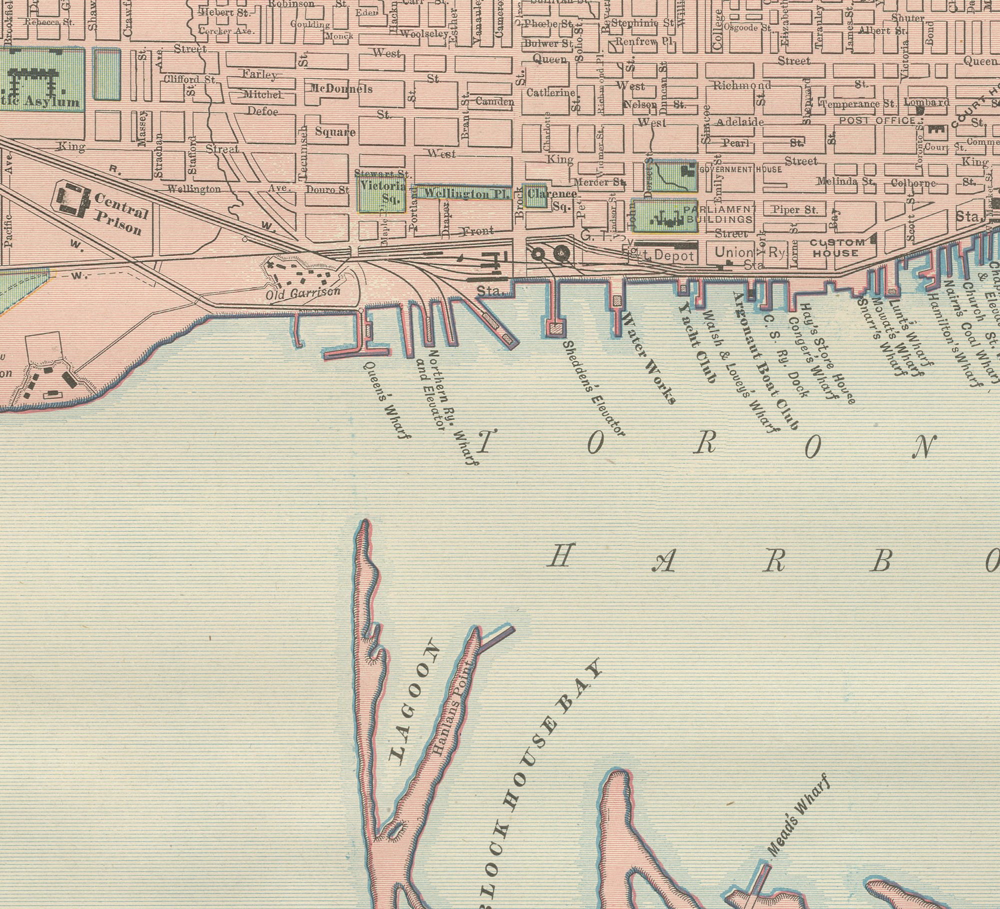
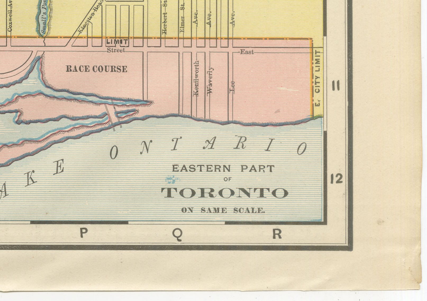
The harbour and its protecting sand spit, Toronto Island, are mapped in detail, with the lagoons, Block House Bay, Hanlan's Point and the harbour lighthouse all named. A boxed inset at lower right, "Eastern Part of Toronto, on Same Scale," extends the coverage past the Woodbine race course, an area that falls off the edge of the main plate. The Exhibition Grounds and the old Garrison Common sit along the western lakeshore, and Parkdale, annexed to the city only a few years before this sheet was printed, is shown fully integrated into the street grid.
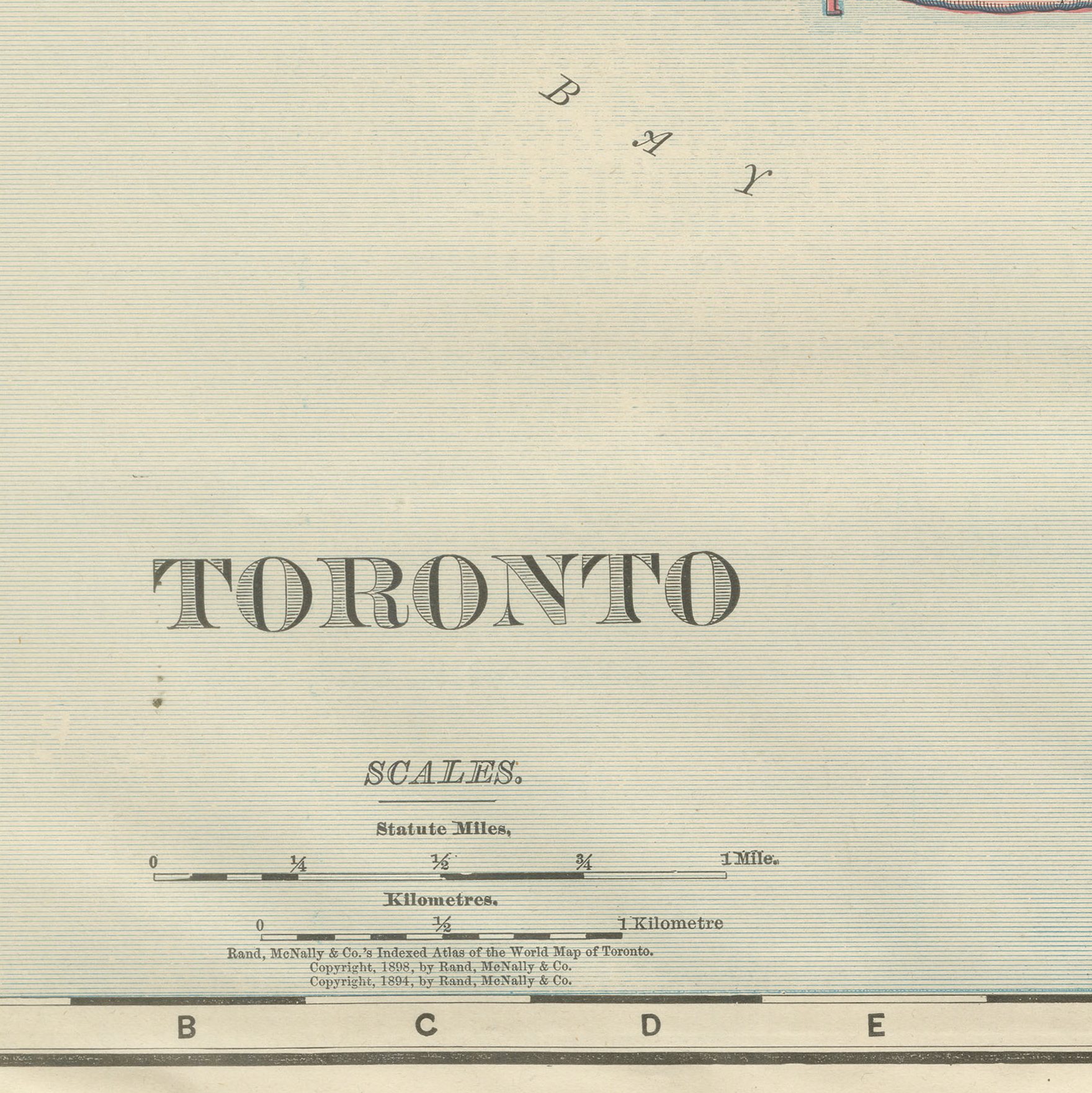
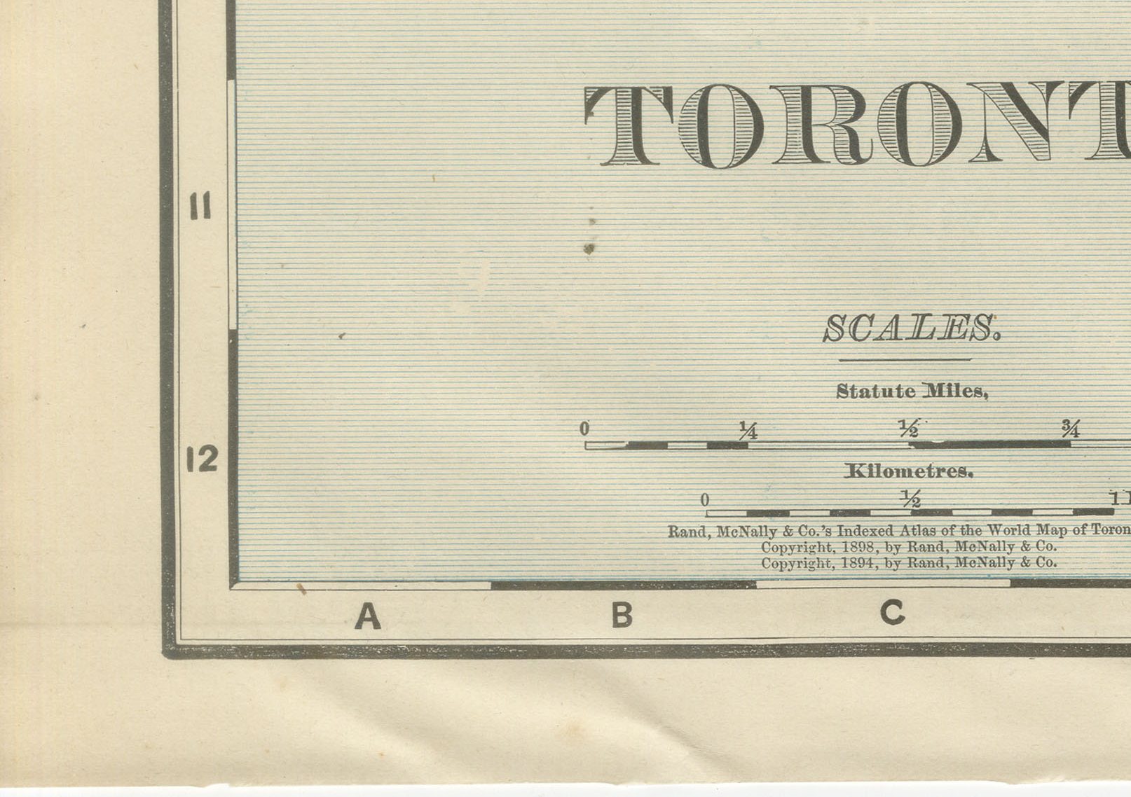
Scale is given in statute miles and kilometres with a bar scale at lower left, and a compass rose sits at upper left. As a large-scale city plan the sheet carries no railroad colour key; the interest lies instead in the ward-by-ward detail of a rapidly growing city, its streets, parks, institutions and cemeteries all named, at the close of the 1890s.
Rand McNally, a Chicago firm that by the 1890s ranked among the leading map publishers in the United States, printed this antique map of Toronto as a colour lithograph, the outline in black with the colours printed over it. It is an original 1899 atlas sheet, and it is suitable for framing. The colour is printed rather than applied by hand.
The sheet is in good condition for its age, with light age toning, a few small spots in the margins and light wear with small nicks to the right edge. Please review the images for further condition details.
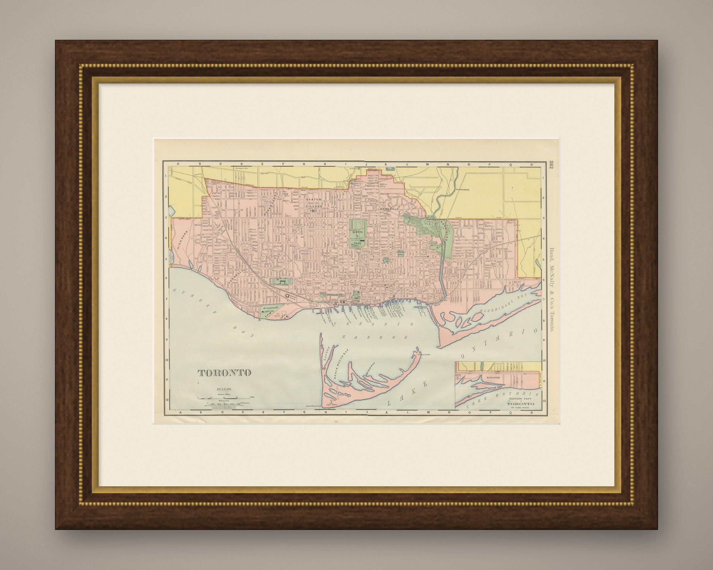
This is an original antique map, not a modern reproduction. This item is sold unframed. Any framed or interior images are shown for presentation and inspiration only, unless the listing explicitly states that the item is sold framed.