About this sheet
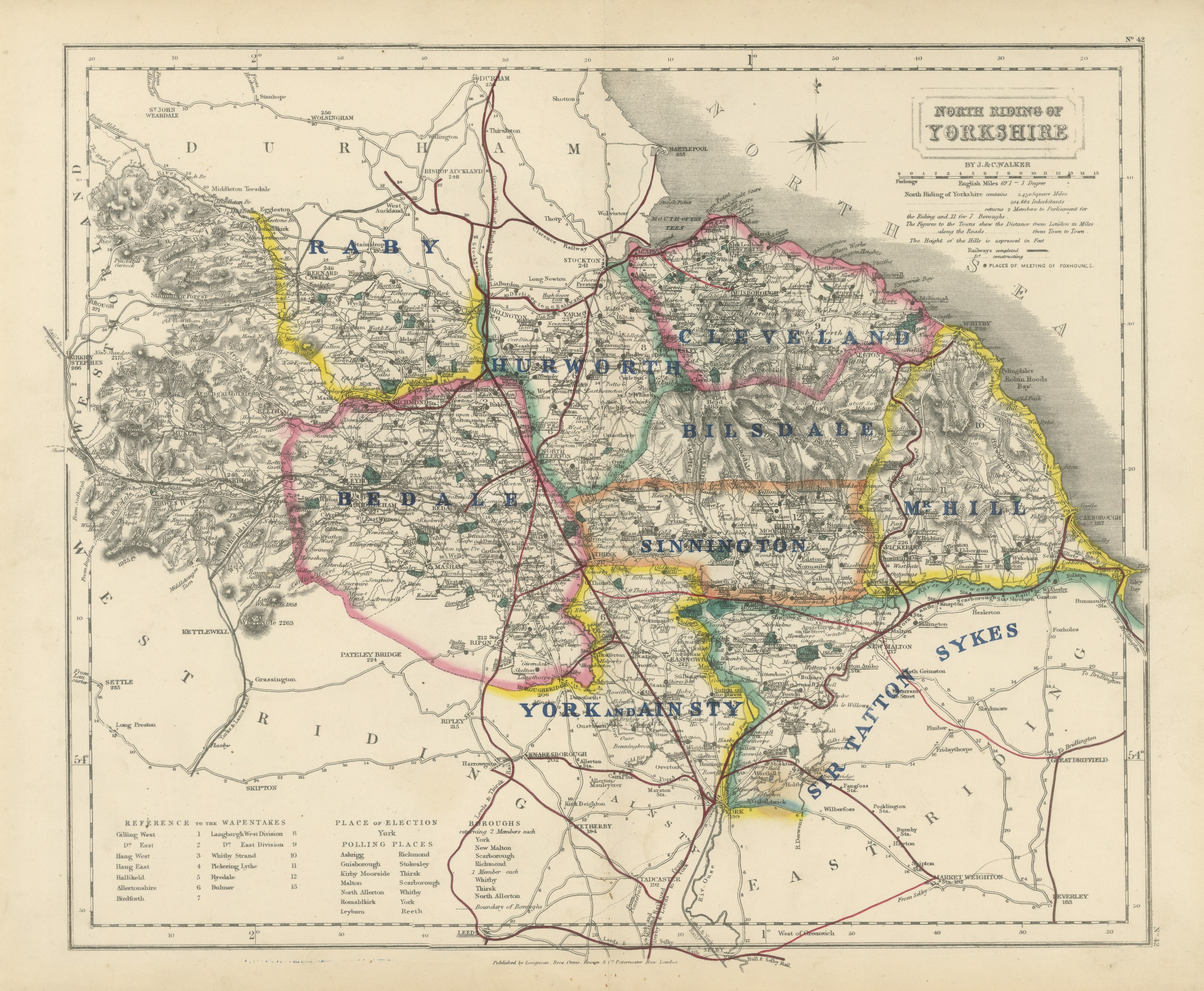
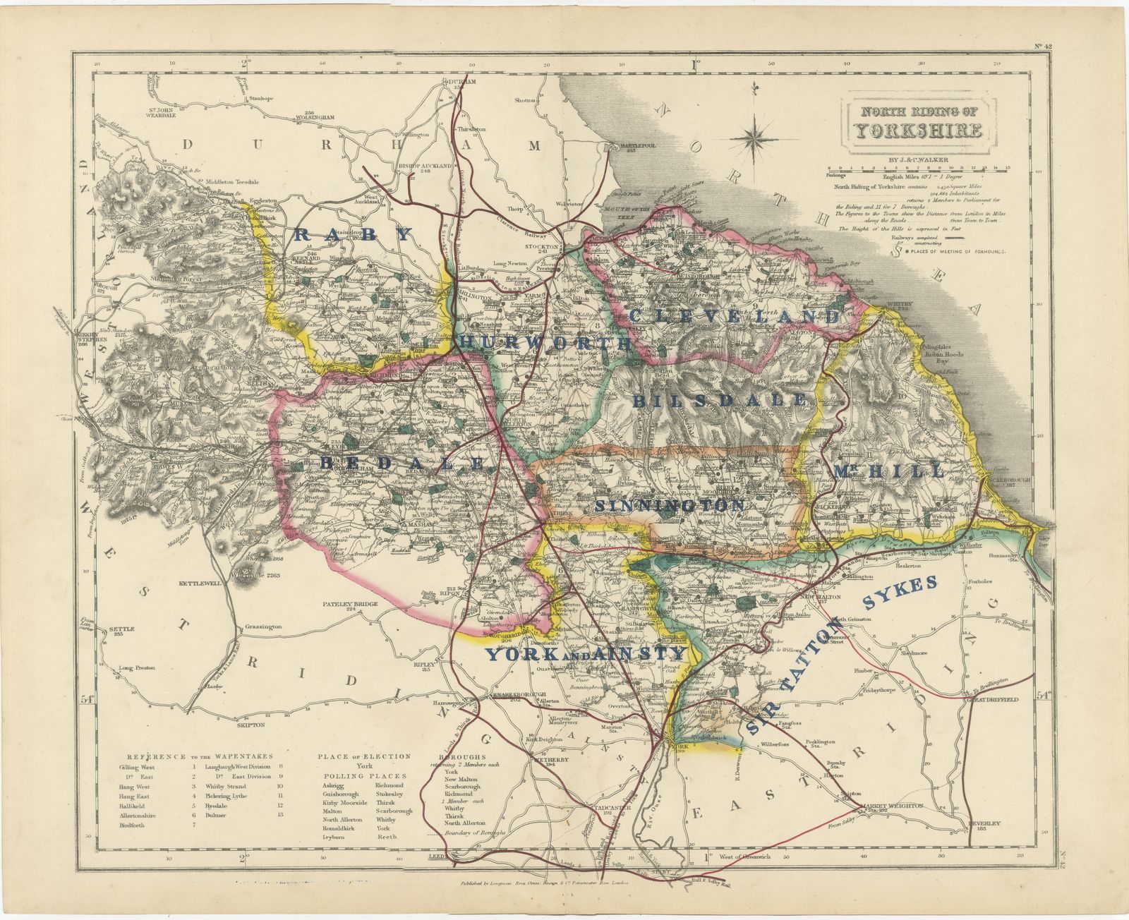
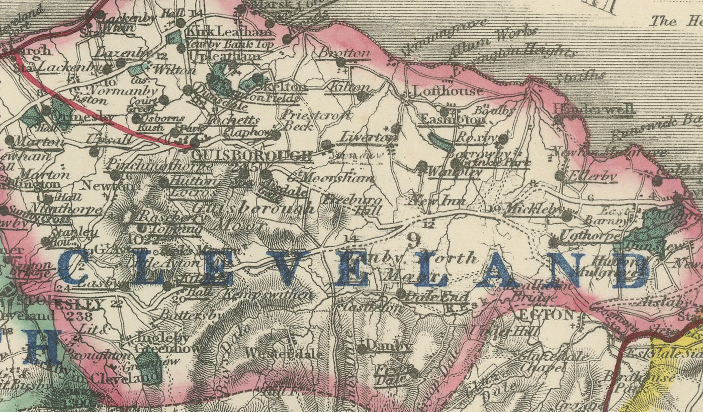
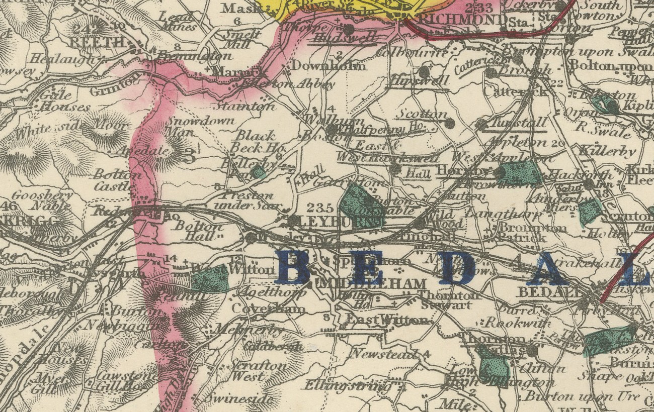
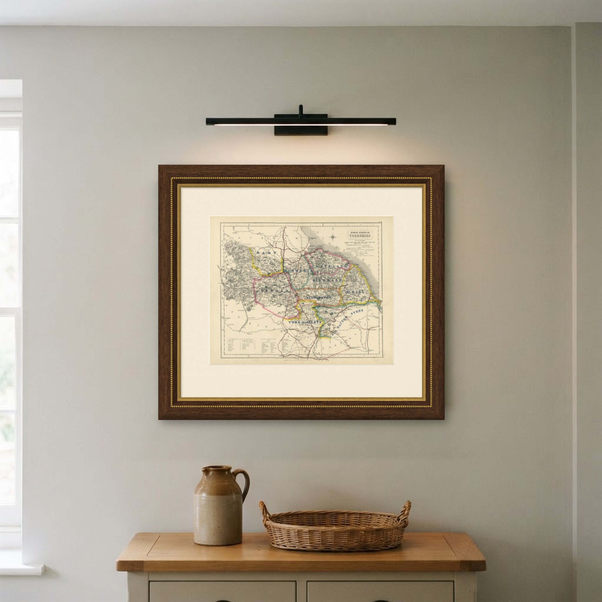
This antique fox hunting map of Yorkshire's North Riding, engraved by J. and C. Walker for Hobson's Fox-Hunting Atlas circa 1870, shows nine named hunt countries colored by hand, making it one of the most crowded sheets in the atlas. Raby, in yellow, lies across the west toward the Durham border; Hurworth, in pink, through the center-west around Darlington; Bedale, in pink, across the center around Bedale and Ripon; Cleveland, in pink, across the north-east toward the coast at Whitby; Bilsdale, in green, through the center-east in the North York Moors; Mr Hill's country, in yellow, in the east toward Scarborough; Sinnington, in orange, in the center of the Riding; York and Ainsty, in yellow, in the south around the city; and Sir Tatton Sykes's country, in blue, in the south-east corner.
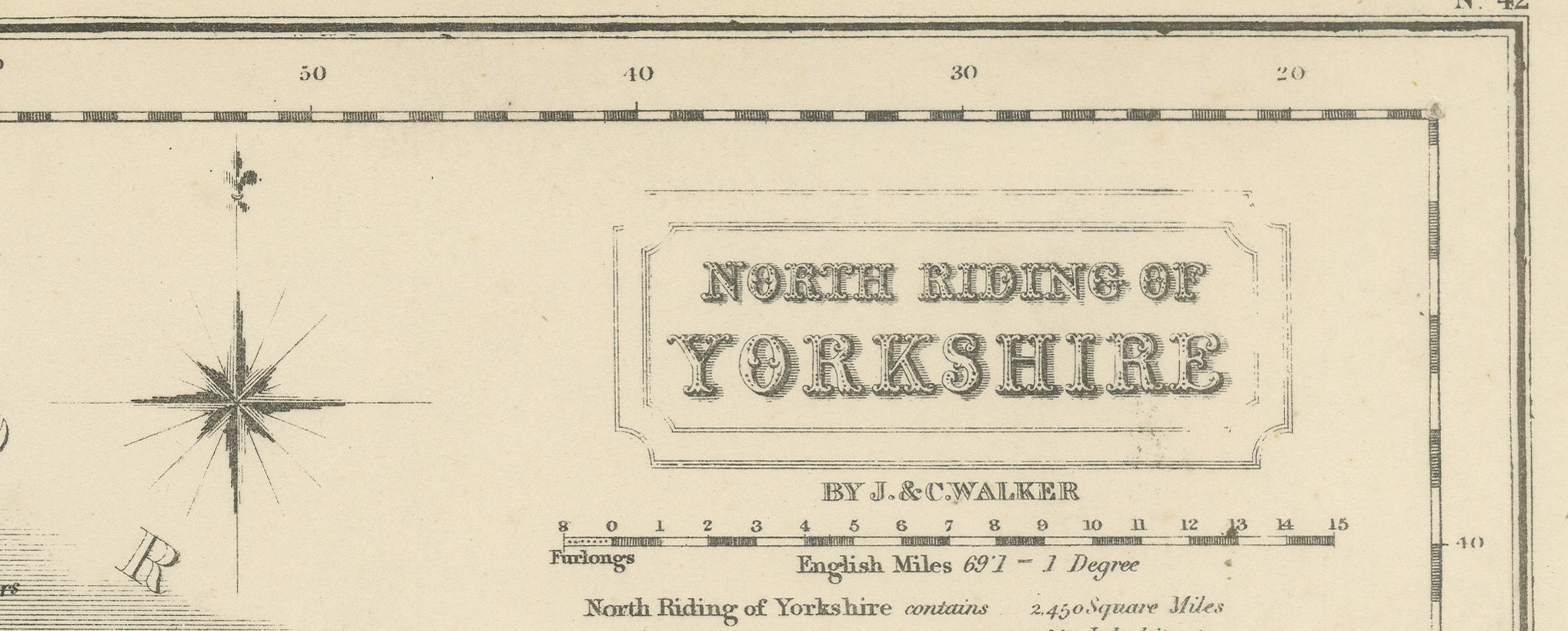
The North York Moors are rendered in heavy hachure across the center and east, distinct from the gently rolling Vale of York in the south and west. The Tees forms the northern border with County Durham, drawn in blue along the top of the sheet, and Whitby, Scarborough and the North Sea coast are worked in detail at the eastern edge. A reference table for the wapentakes sits at lower left, and the cartouche, with the Riding's name and the Walker imprint, occupies the upper right corner.
Engraved on steel by J. and C. Walker of London, the plate was made for Hobson's Fox-Hunting Atlas, compiled by William Colling Hobson and published by Longman and Company of Paternoster Row. The work was first issued around 1850 and reissued into the 1870s, and this sheet is from the edition of circa 1870, with the hunt boundaries in original outline hand color and the places of meeting of the foxhounds marked, together with roads, railways, canals and parks. The number of countries reflects the sheer scale of this Riding, one of the largest counties in England, and the fine subdivision of its hunting territory among named packs from the Tees to the Moors.
For hunting families, county collectors and anyone with a connection to the place, this antique fox hunting map of Yorkshire's North Riding is an original atlas sheet, well suited to framing.
The sheet is in good condition for its age, with age toning, stronger towards the edges, a central fold, faint offsetting in the lower margin and a few small spots. Please review the images for further condition details.
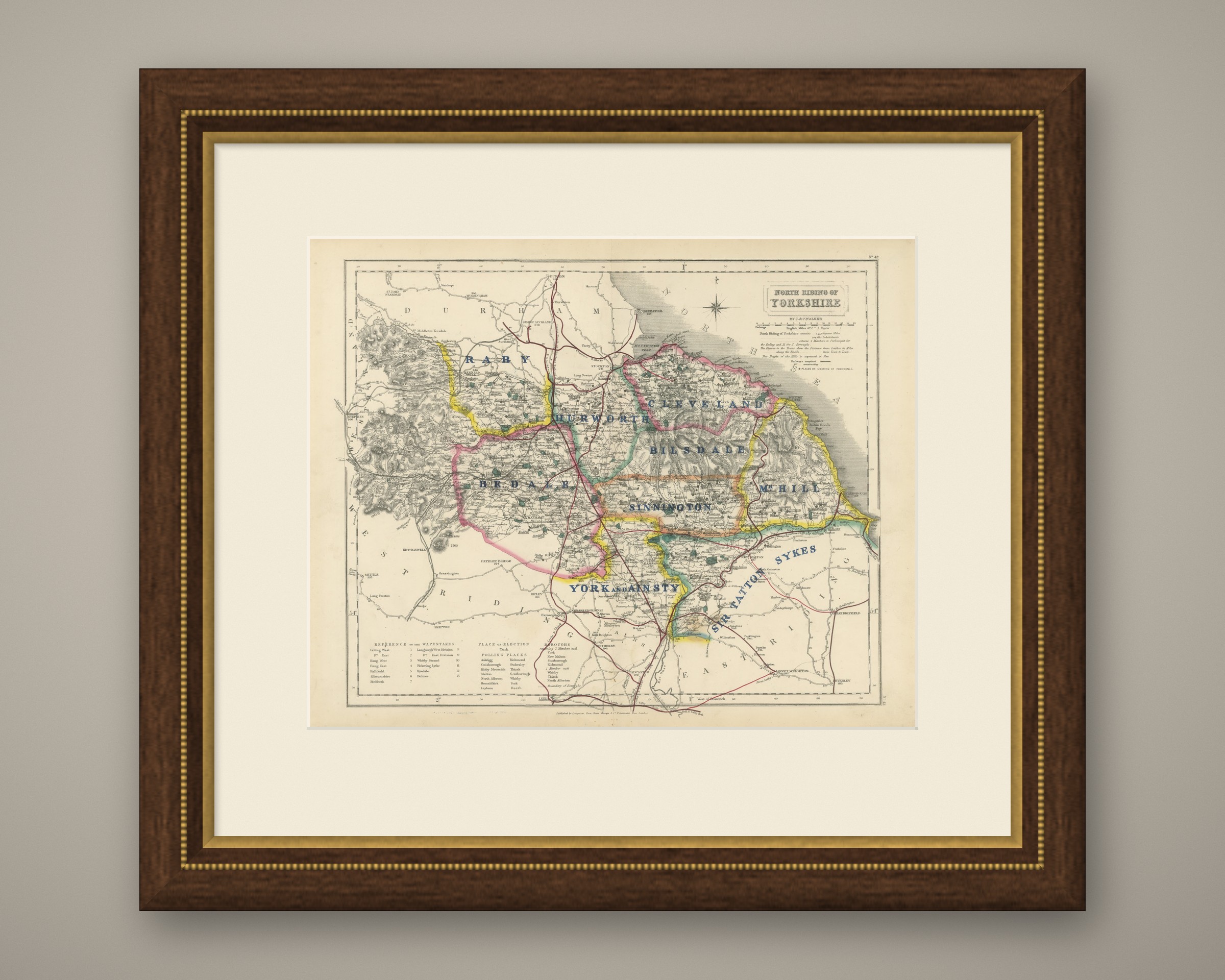
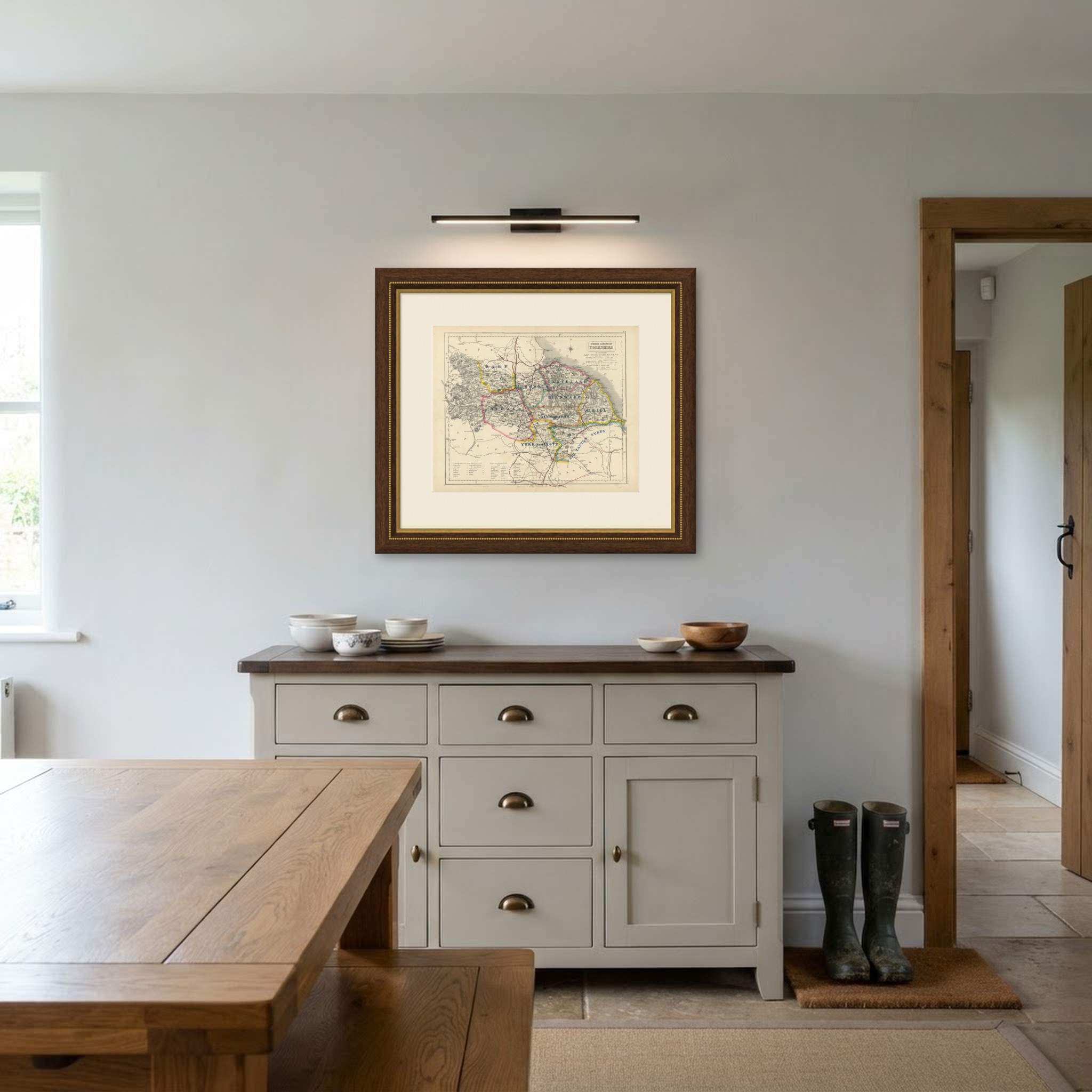
This is an original antique map, not a modern reproduction. This item is sold unframed. Any framed or interior images are shown for presentation and inspiration only, unless the listing explicitly states that the item is sold framed.