About this sheet
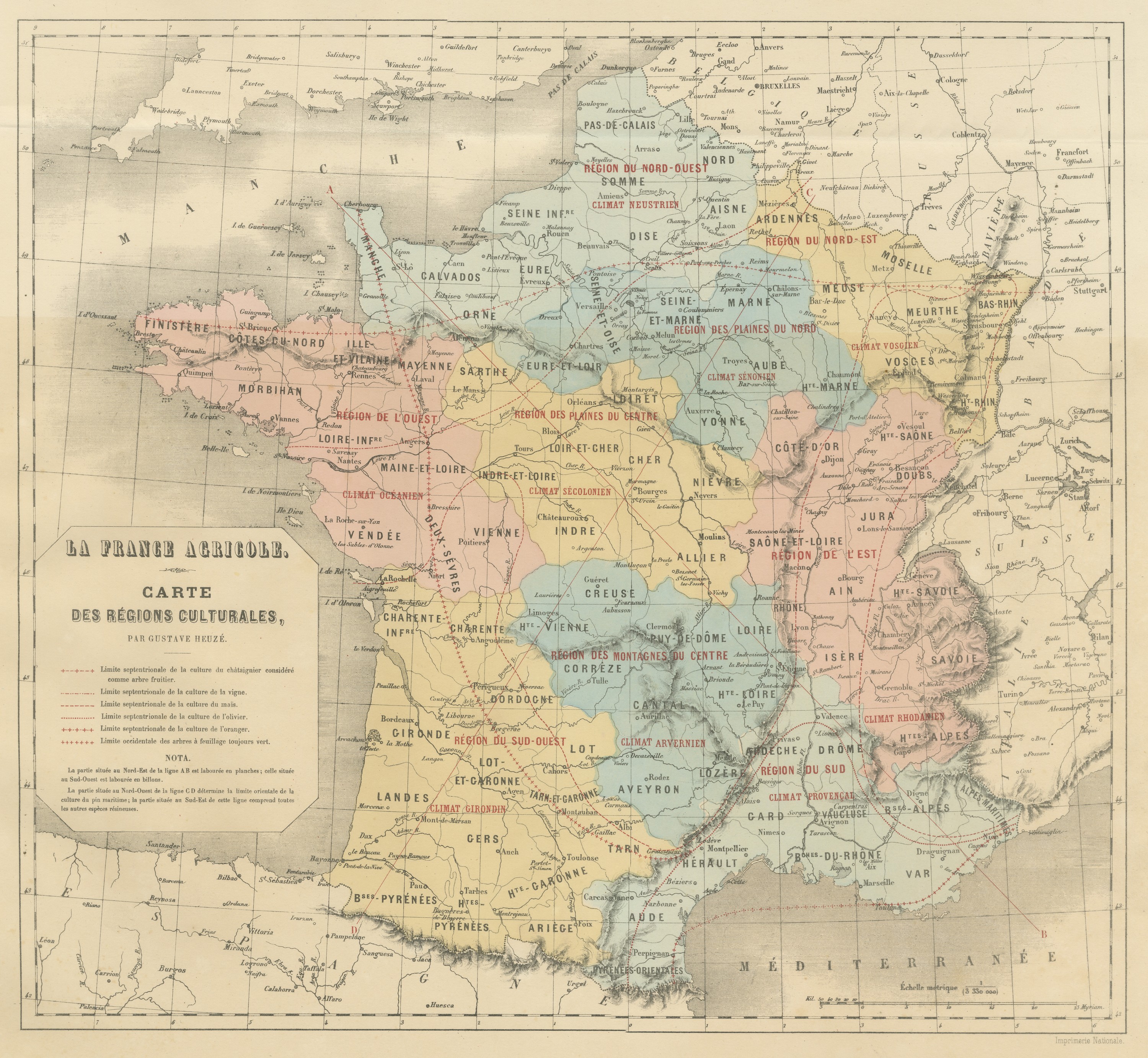
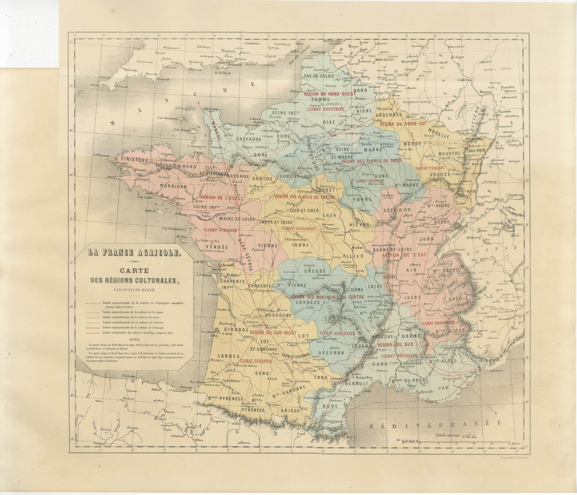
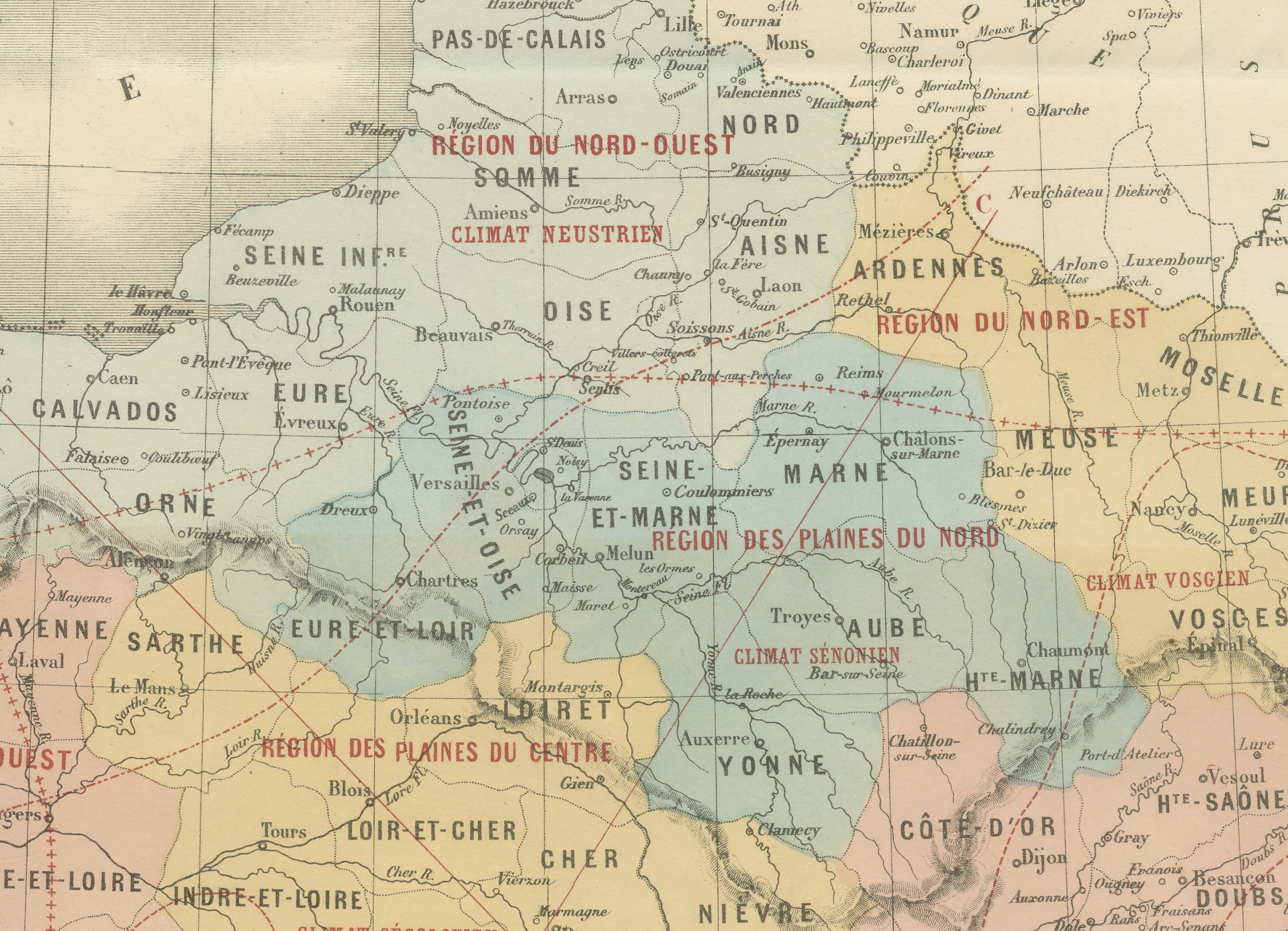
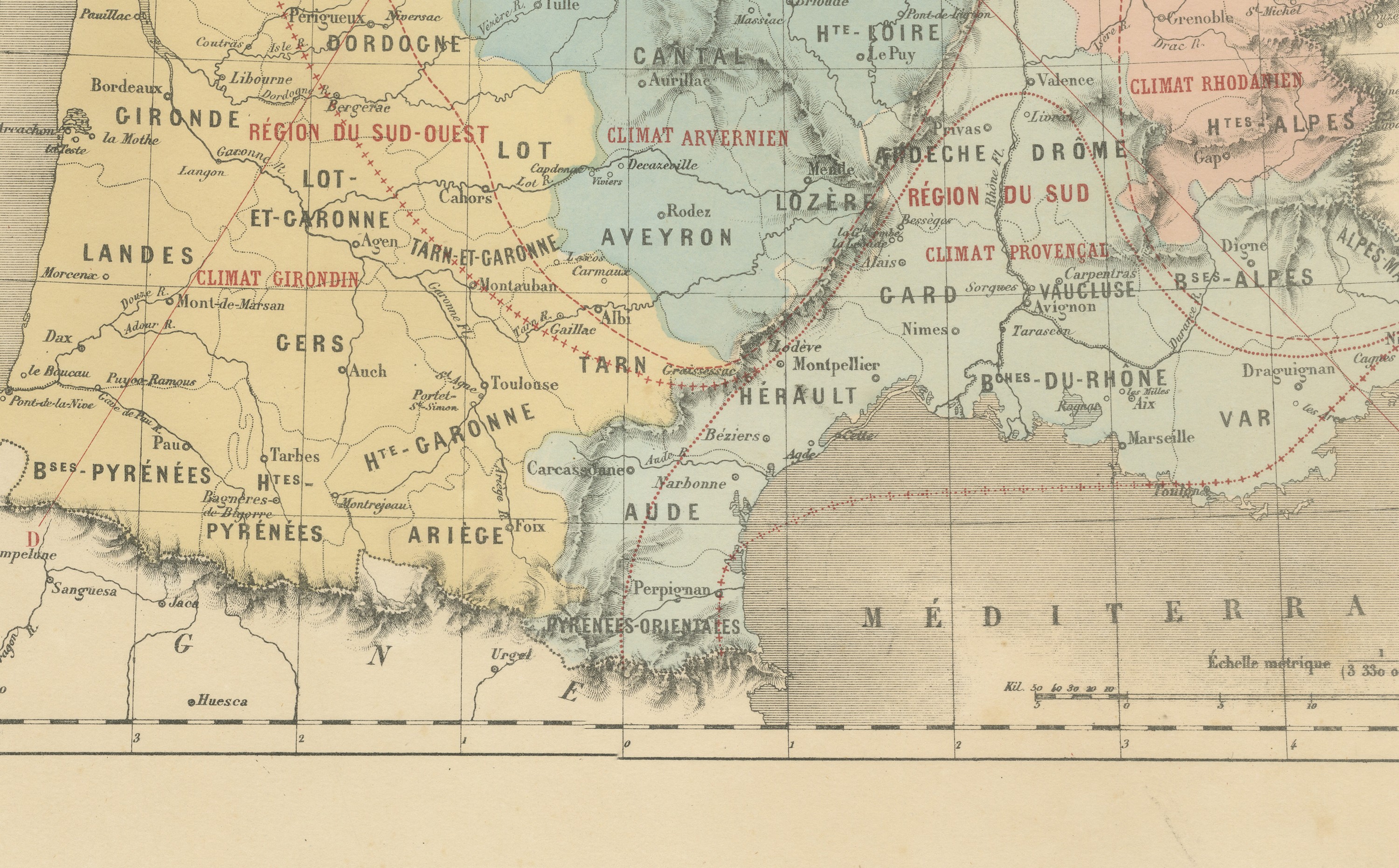
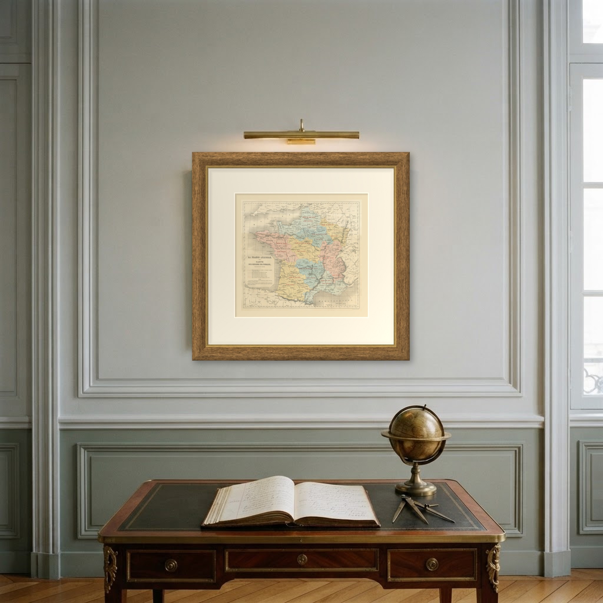
This antique map of France by Gustave Heuze, the Carte des Regions Culturales, shows the country's farming regions and climates as presented at the Vienna Exposition in 1873. It is the handsomest single map in the album. France is divided into its farming regions, each washed in a different color and lettered across the departments, and over that base run the named climates, Neustrien, Vosgien, Senonien, Secolonien, Arvernien, Girondin, Rhodanien, Provencal and Oceanien.
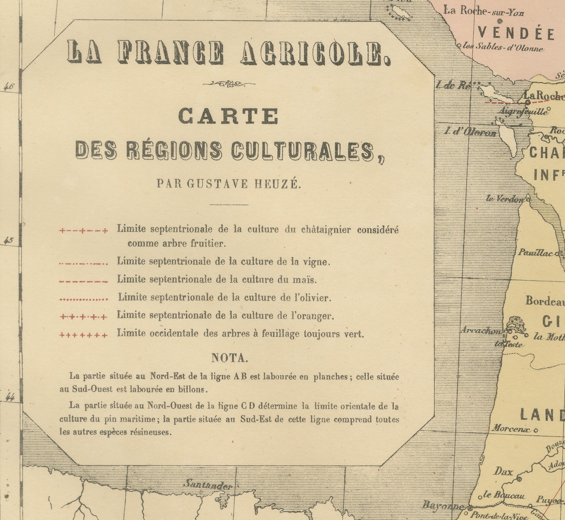
Dotted lines mark the northern limit of the chestnut, the vine, maize, the olive and the orange, so that the map can be read as a picture of where each crop gives way to the climate. A note explains the ploughing convention north east and south west of the line AB. For anyone interested in French regional agriculture, wine country or the history of thematic cartography, it is a rewarding sheet to study.
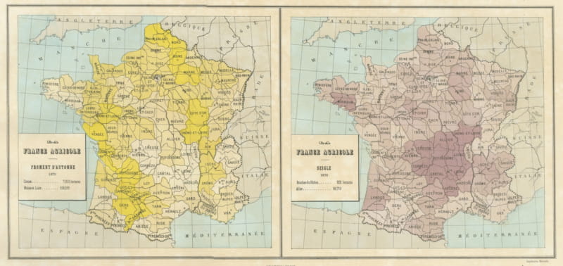
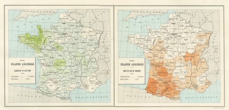
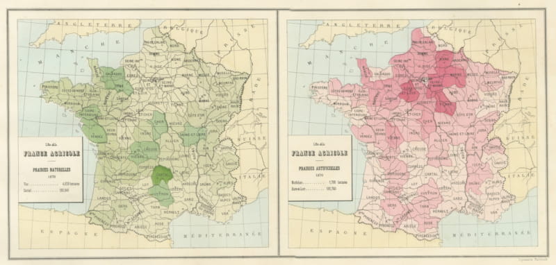
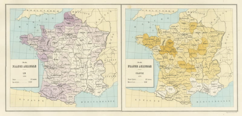
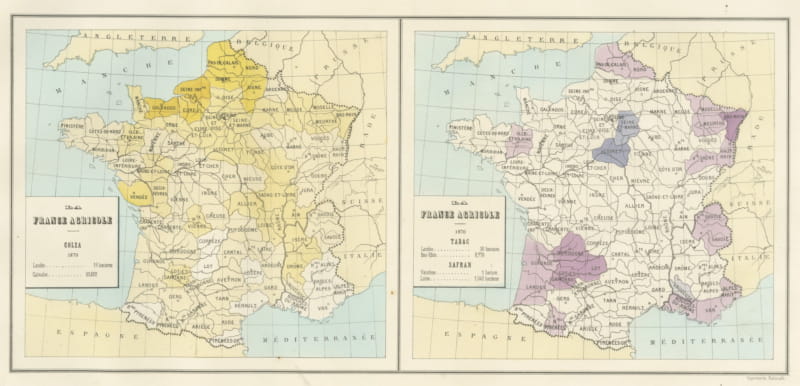
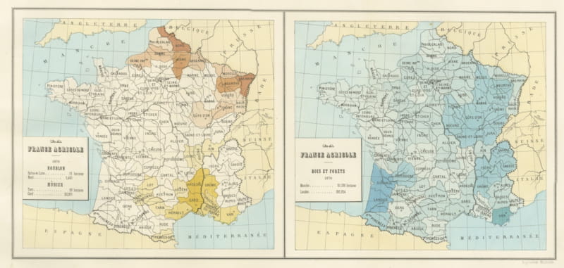
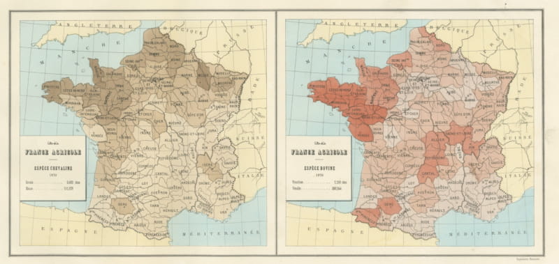
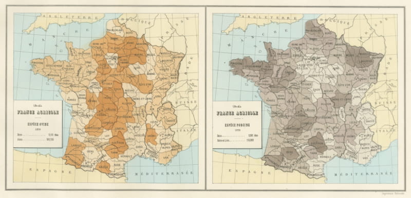
The sheet comes from the folio of maps, plans and drawings that the Direction de l'Agriculture of the French Ministry of Agriculture and Commerce assembled for its own exhibit at the Exposition Universelle held in Vienna in 1873, printed in Paris by the Imprimerie Nationale. The album gathered the statistical cartography, the model state farms, the breed portraits and the prize silver by which France meant to present its agriculture to the world. Its thematic maps belong to the first generation of printed statistical mapping, a field now collected for the history of data visualization quite as much as for the history of farming.
The map is a lithograph printed in color, issued in 1873. The color is printed rather than applied by hand. As a piece of early statistical cartography, this antique map of France suits a study, library, office or country kitchen, and it can be framed on its own or hung as a group with other maps from the album.
The sheet is in good condition, with age toning, scattered foxing and minor marginal marks. There are visible horizontal and vertical fold lines, with slight creasing in the lower-right margin. The toning is the ordinary result of age rather than damage. Please see the images for a full view of the condition.
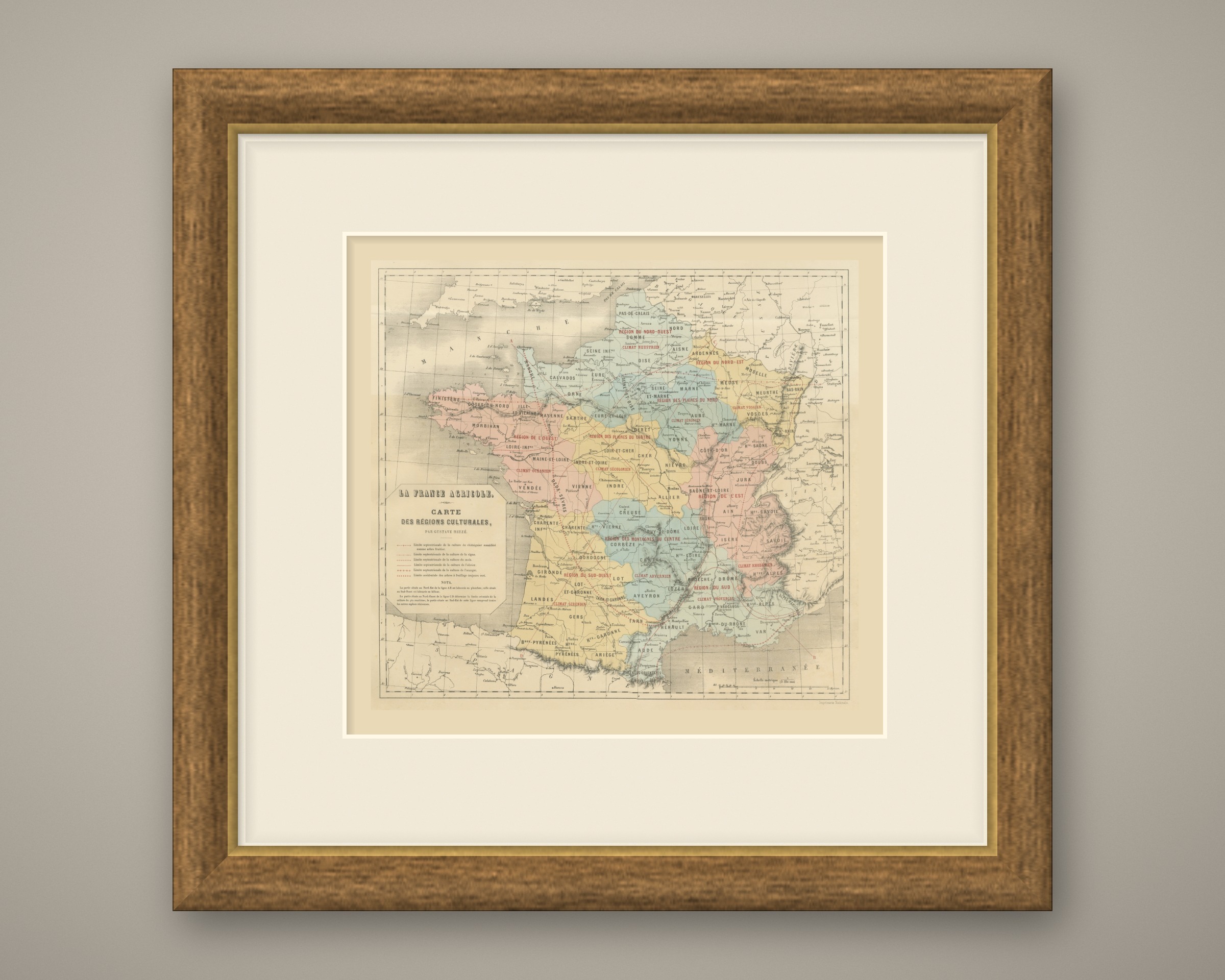
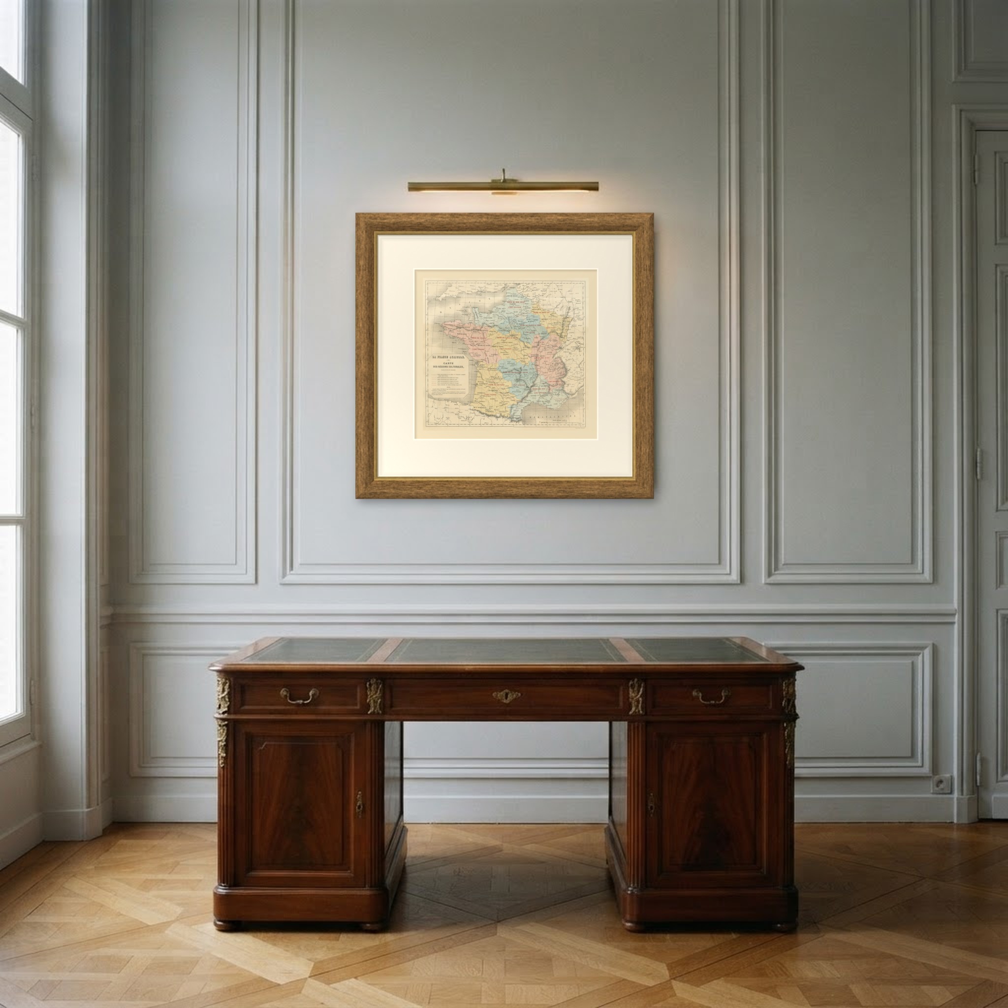
This is an original antique map, not a modern reproduction. This item is sold unframed. Any framed or interior images are shown for presentation and inspiration only, unless the listing explicitly states that the item is sold framed.