About this sheet
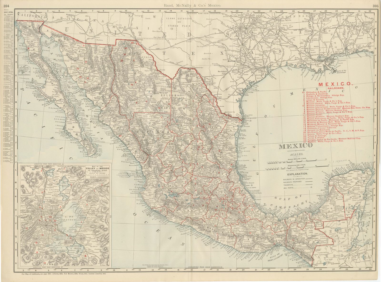
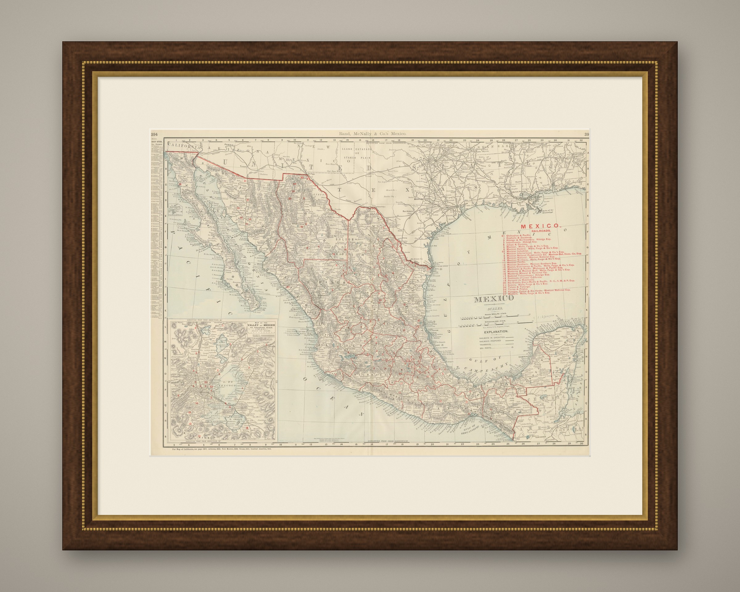
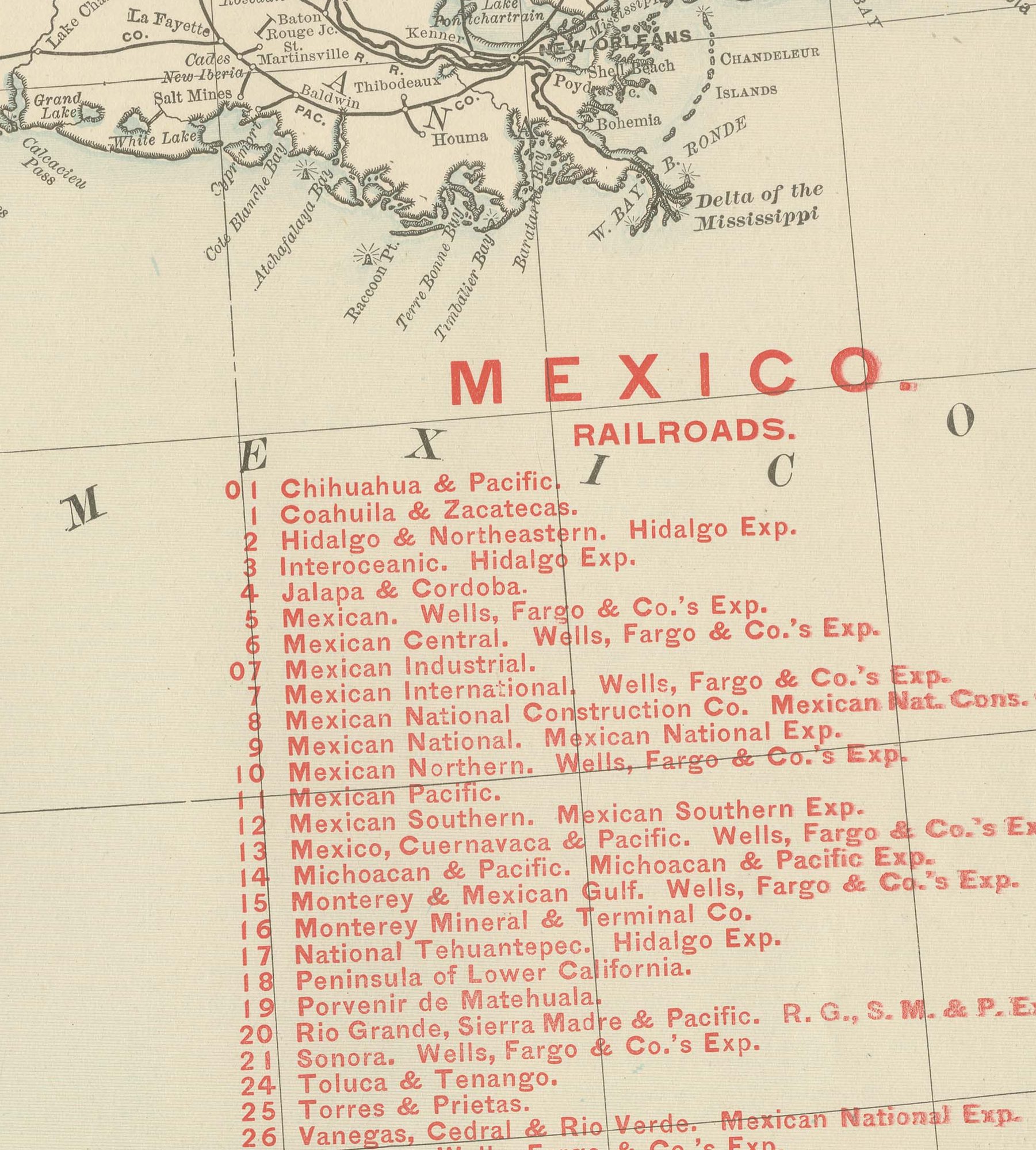
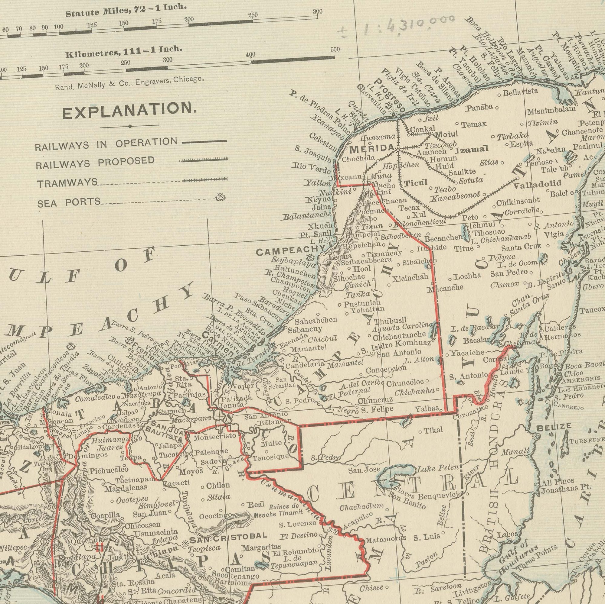
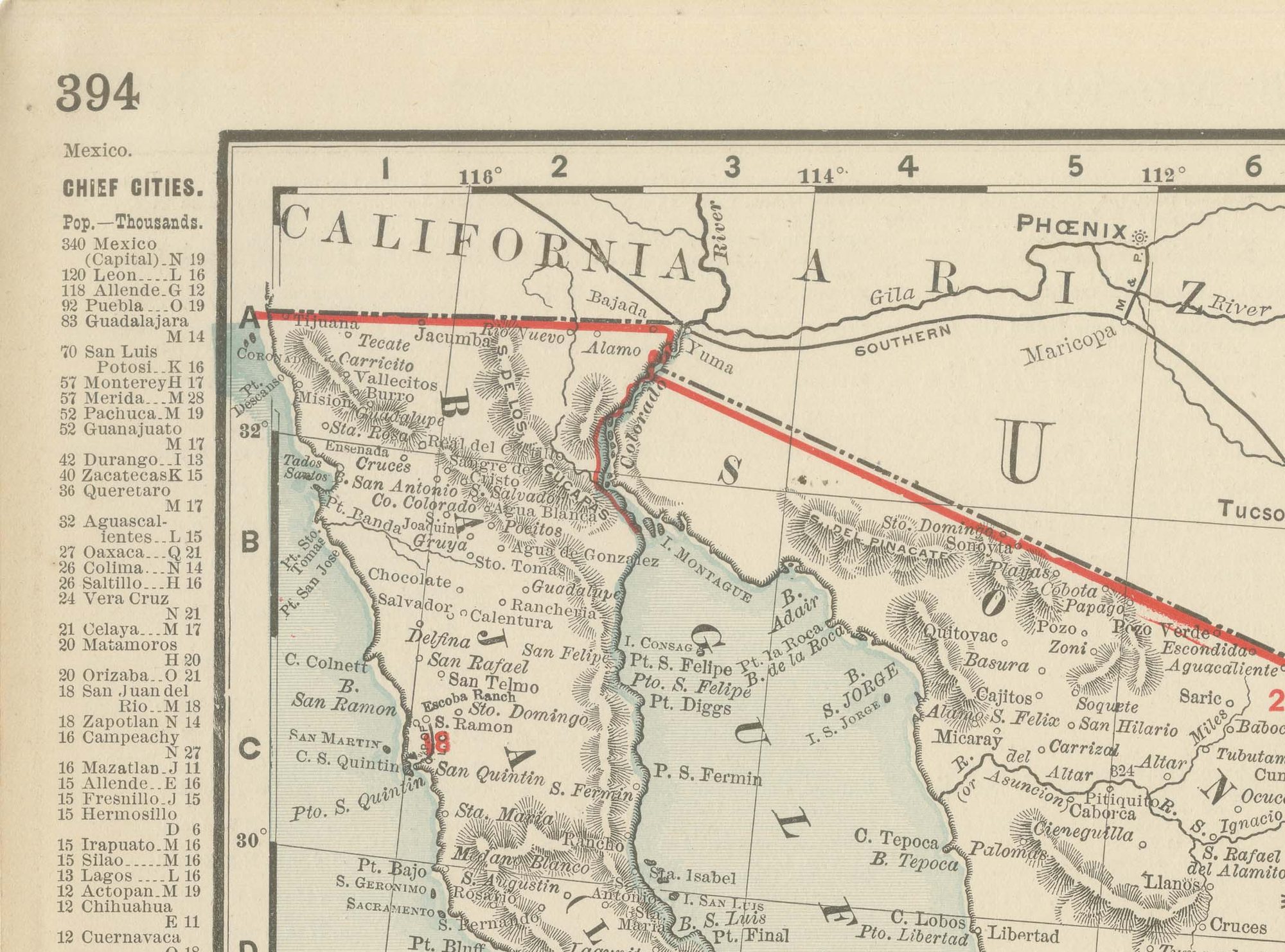
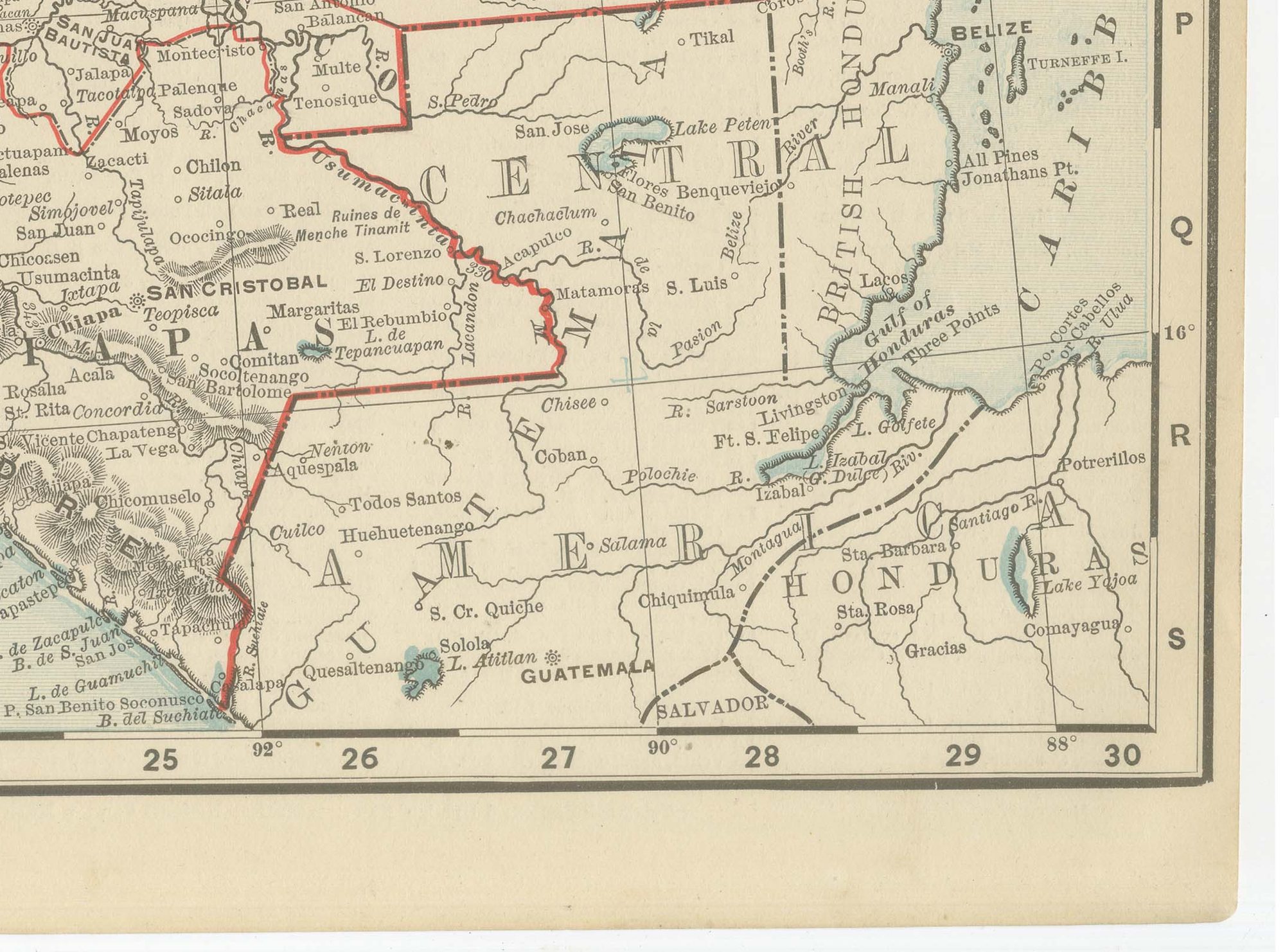
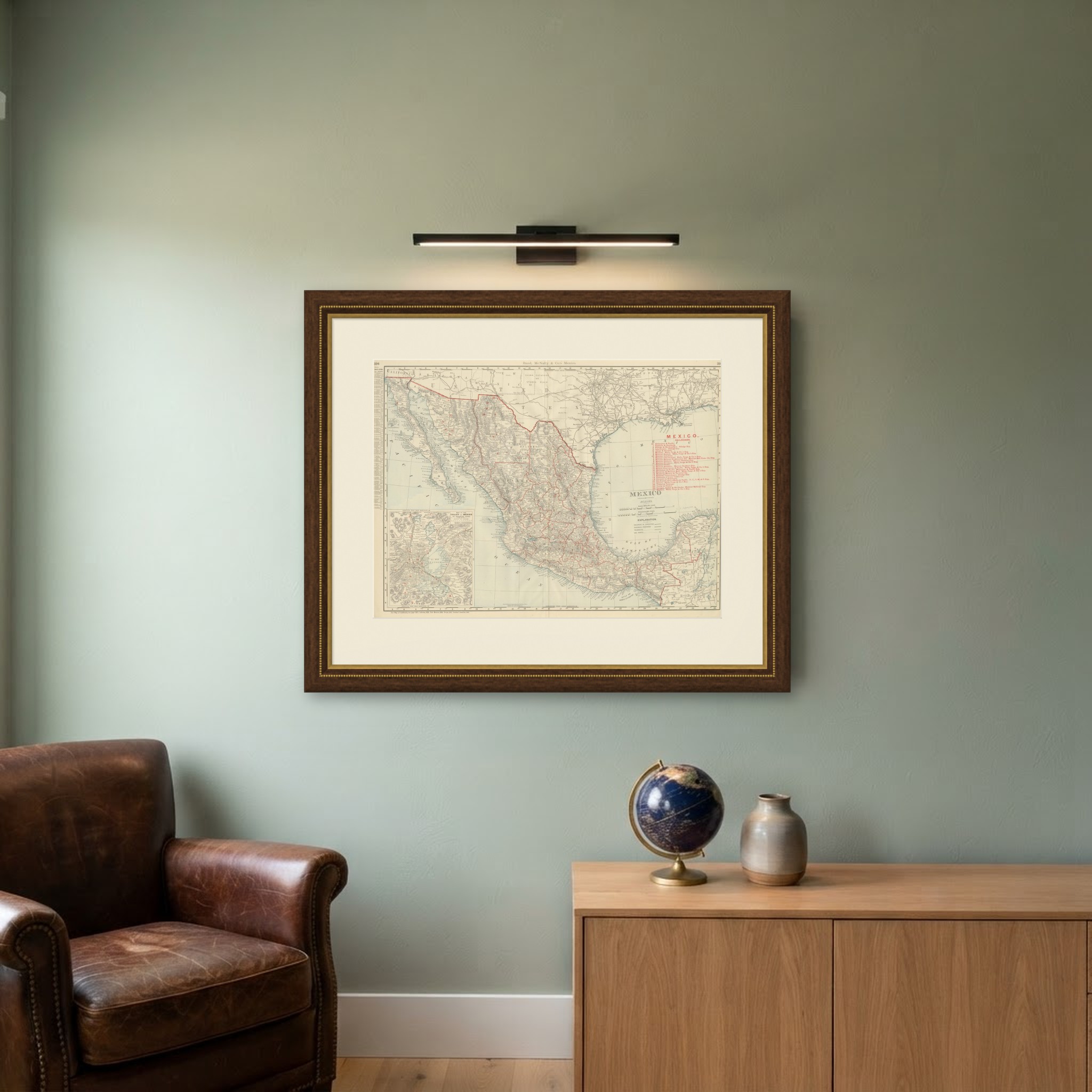
Rand McNally's antique map of Mexico, a double-page spread on pages 394 and 395 of the firm's 1899 indexed atlas, shows the Republic of Mexico from the Sonora and Arizona border in the northwest to the Yucatan Peninsula and the Gulf of Campeachy in the southeast, with the bordering United States territory of California, Arizona, New Mexico and Texas left largely uncoloured across the top for context. A dense red railroad network is keyed by number to a legend of some two dozen companies at right, including the Mexican Central, the Mexican National, the Mexican International, the Sonora, and the Interoceanic and Hidalgo and Northeastern lines, together with a separate category for lines then only proposed rather than built.
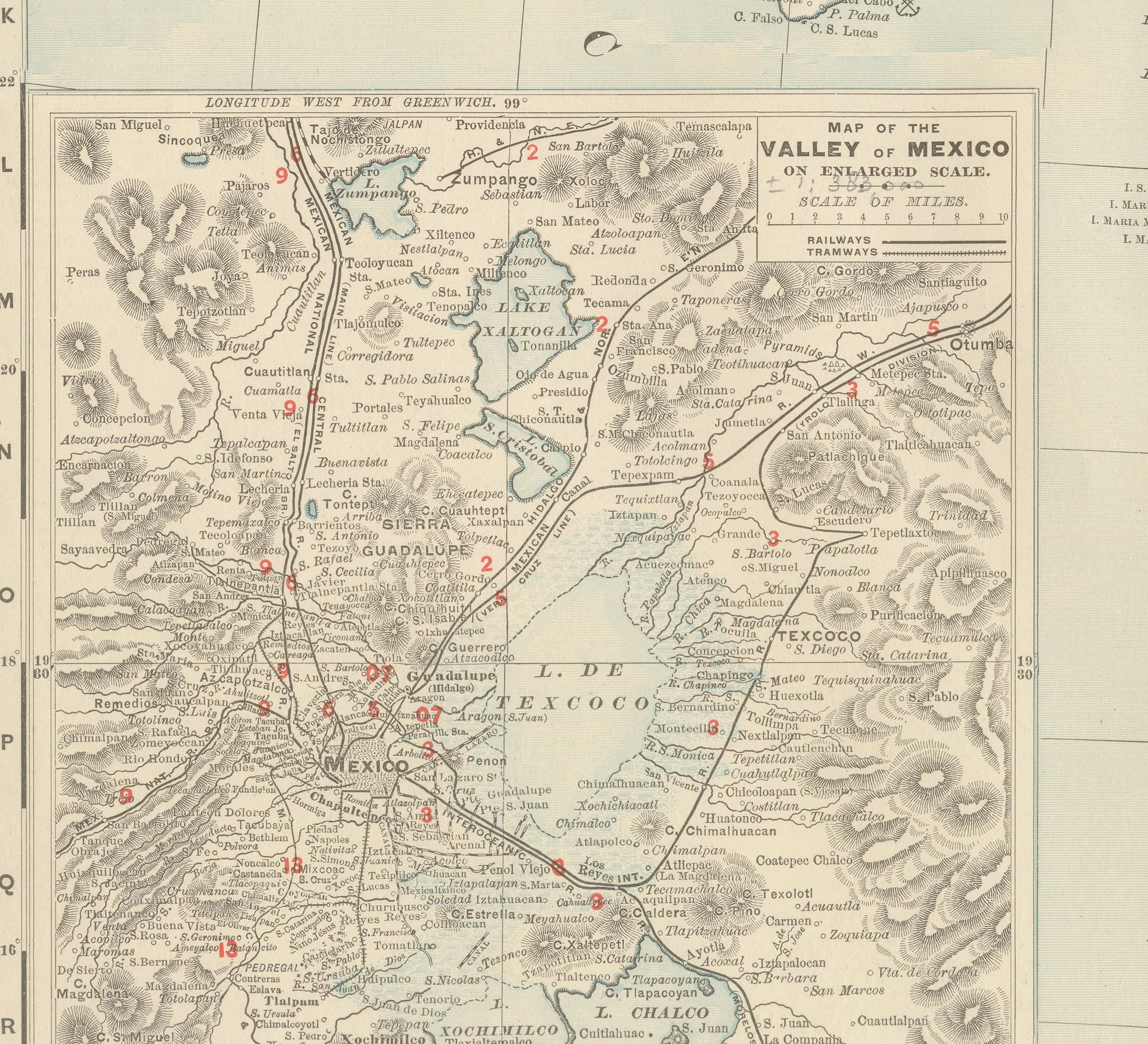
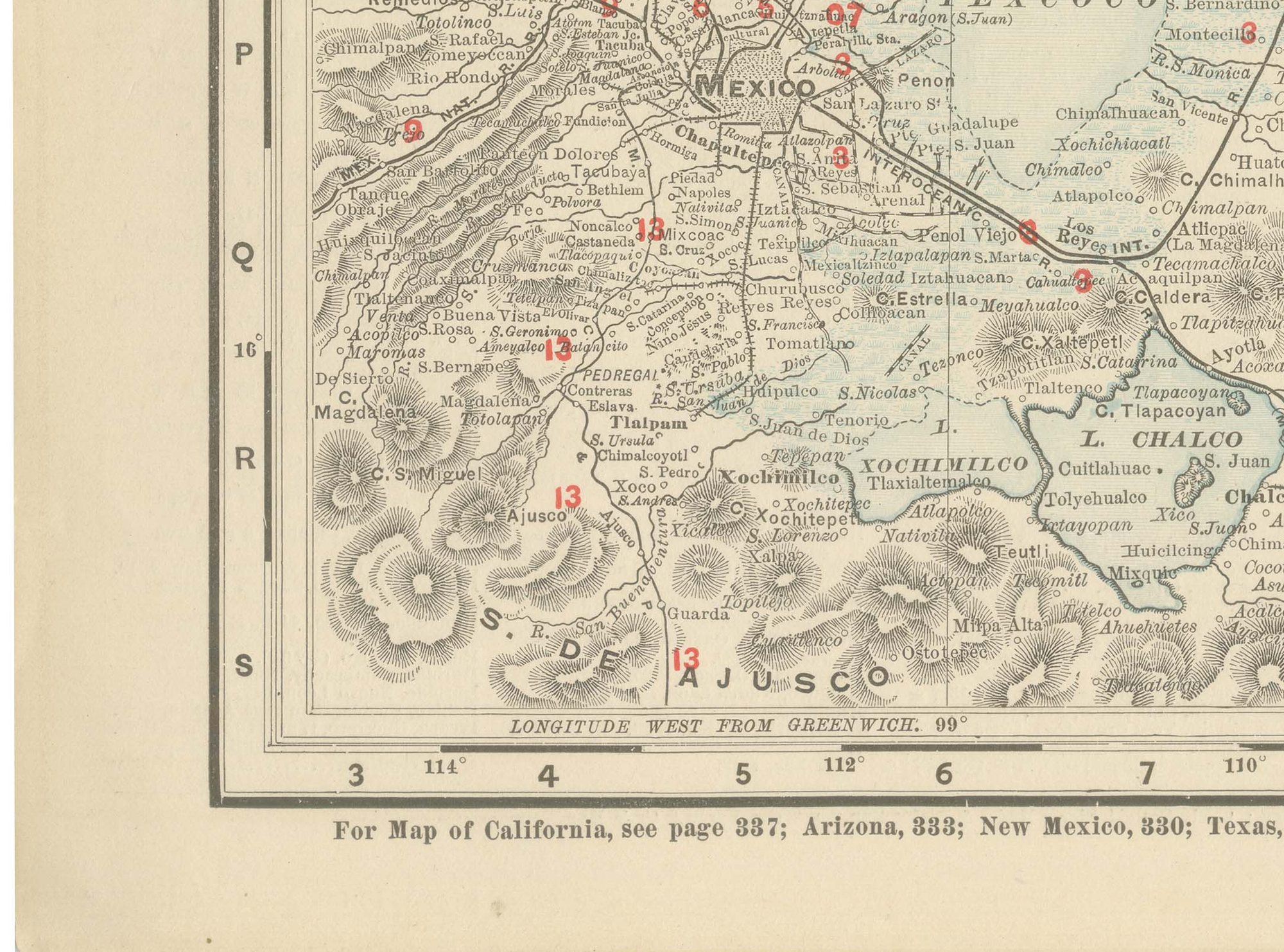
An inset at lower left, "Map of the Valley of Mexico on Enlarged Scale," zooms into the capital and the surrounding lake basin, with Lake Texcoco, Xochimilco and Chalco, showing the railways and tramways converging on Mexico City in far greater detail than the main scale allows. The Sierra Madre ranges down both coasts are rendered in hachured relief, with the central plateau and its agricultural states, Guanajuato, Jalisco and Michoacan, left comparatively open.
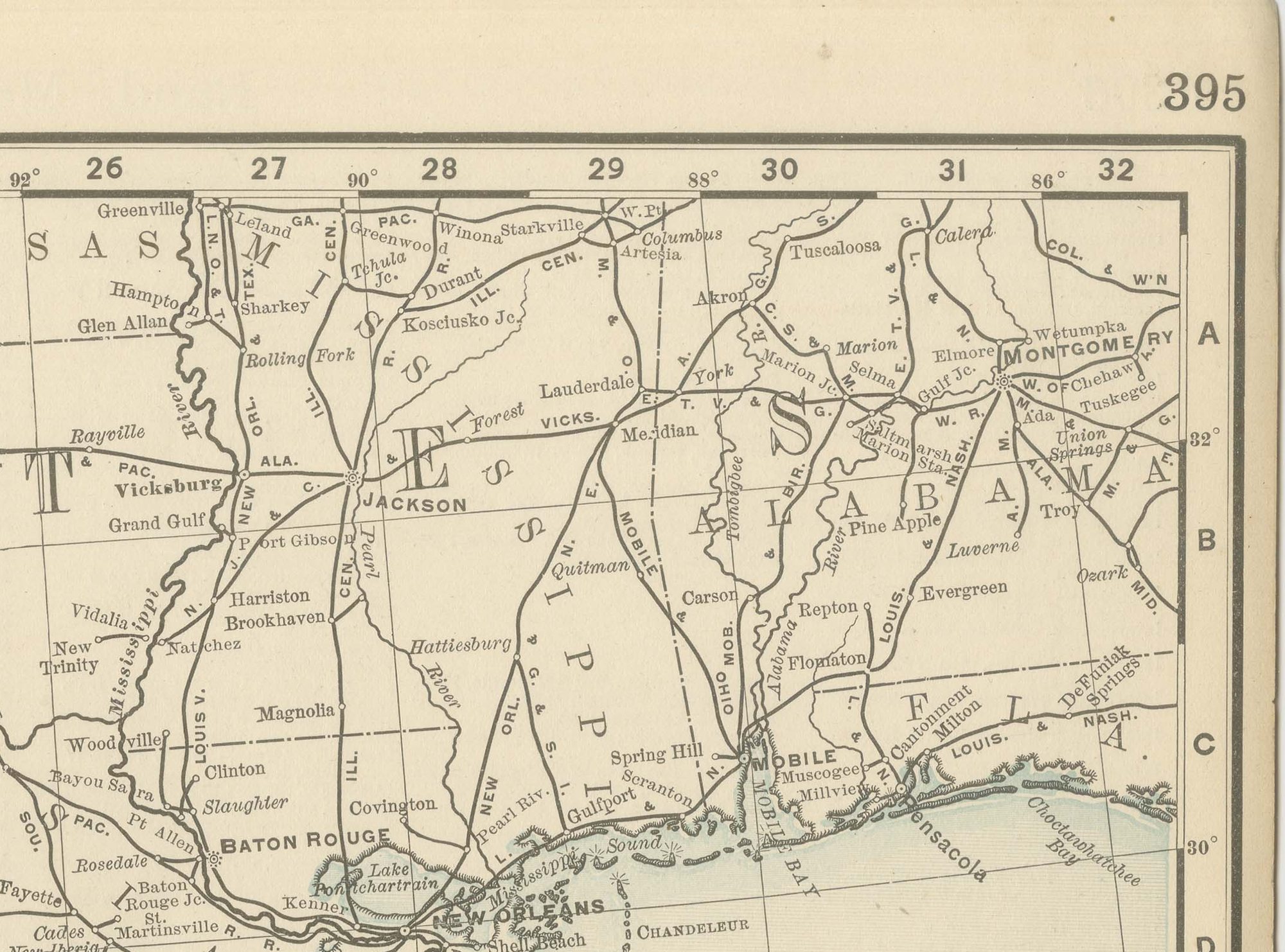
The railroad boom of the Porfirio Diaz era in the 1880s and 1890s, much of it financed by American and British capital, is the real subject of the map: the network had grown enormously in the two decades before this sheet was printed, and the atlas records it at a level of detail few general reference maps of the period attempted. A note at the foot directs the reader to the adjoining California, Arizona, New Mexico, Texas and Central America maps.
Rand McNally grew from a Chicago printing business started in the 1850s by William Rand and joined by Andrew McNally, and by the 1890s it was one of the leading map publishers in the United States, known for railroad maps revised from issue to issue. This antique map of Mexico is an original 1899 colour lithograph, with the outline printed in black and the colours printed over it, issued folded through the centre and suitable for framing. The colour is printed rather than applied by hand.
The sheet is in good condition for its age, with light age toning, a faint pencil note beside the scale and the original central fold as issued. Please review the images for further condition details.
This is an original antique map, not a modern reproduction. This item is sold unframed. Any framed or interior images are shown for presentation and inspiration only, unless the listing explicitly states that the item is sold framed.