Antique Maps of France, Buckwheat and Maize, Vienna Exposition, 1873
€ 190
Original antique · The actual sheet photographed · Certificate of authenticity on request · Sold unframed · Worldwide shipping from € 15 (rates)
Date
1873
Mapmaker / artist
Direction de l'Agriculture
Publisher
Imprimerie Nationale, Paris
Technique
Lithograph
Coloring
Printed color
Condition
Good
Reference
BG-13538-4
What the condition grades mean
Excellent
Bright and clean, with no faults worth mentioning.
Very good
Only light signs of age, such as faint toning.
Good
Normal signs of age for a sheet of this period: toning, some foxing, small marks or neat old repairs.
Fair
Clear faults such as staining, tears or repairs, priced to match.
Every fault we see is written in the condition note, and the whole sheet is shown uncropped in the photos.
Condition
Good condition with light age toning, scattered foxing and minor marginal marks. Colors remain well preserved. Sold unframed. Please review the images for further condition details.
About this sheet
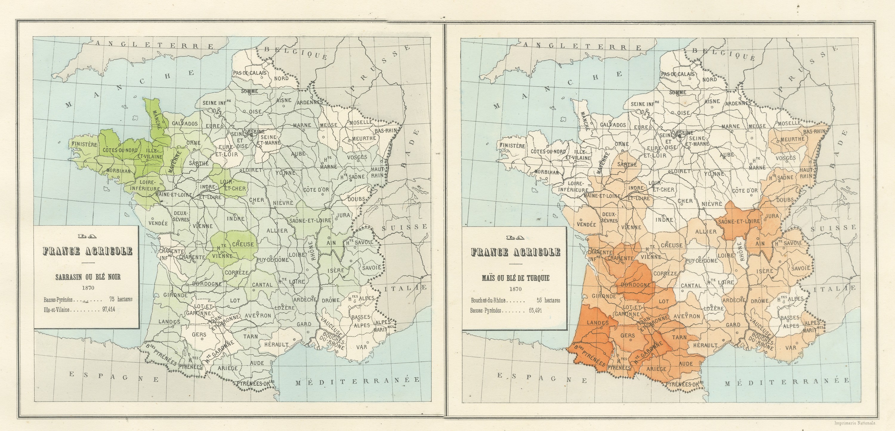
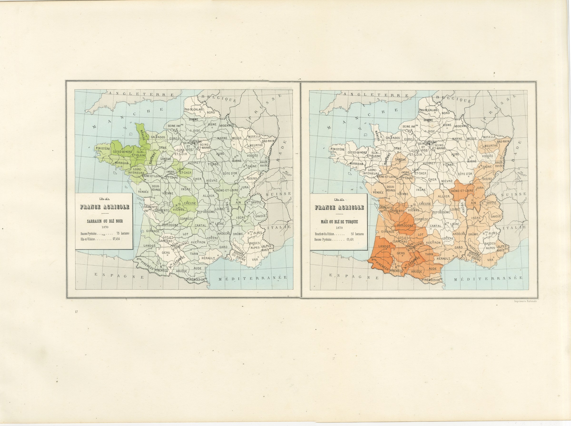
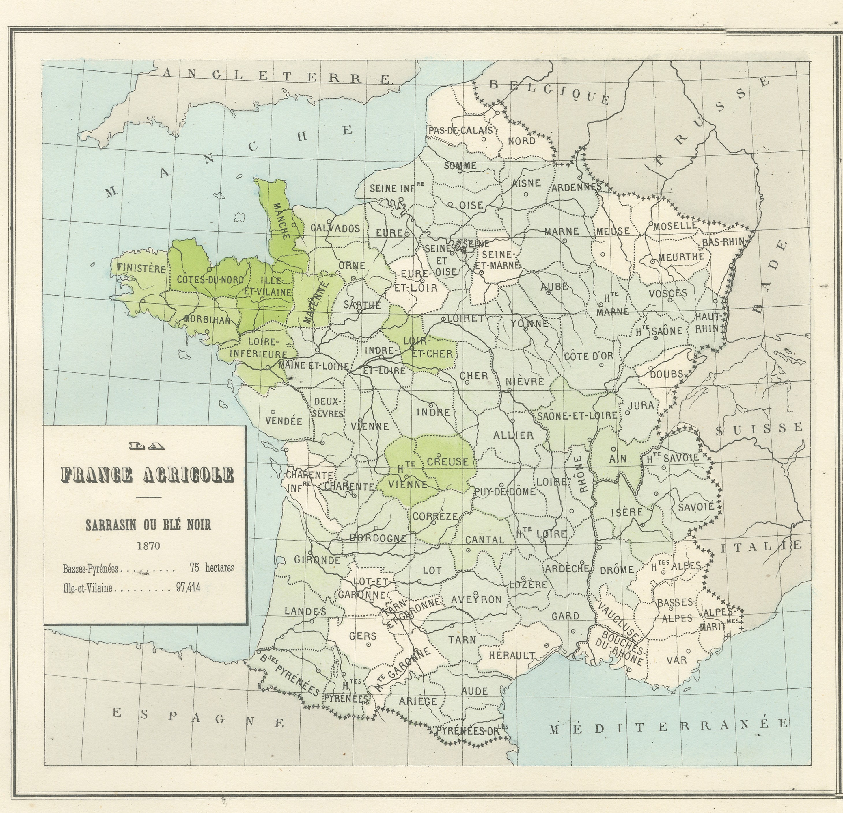
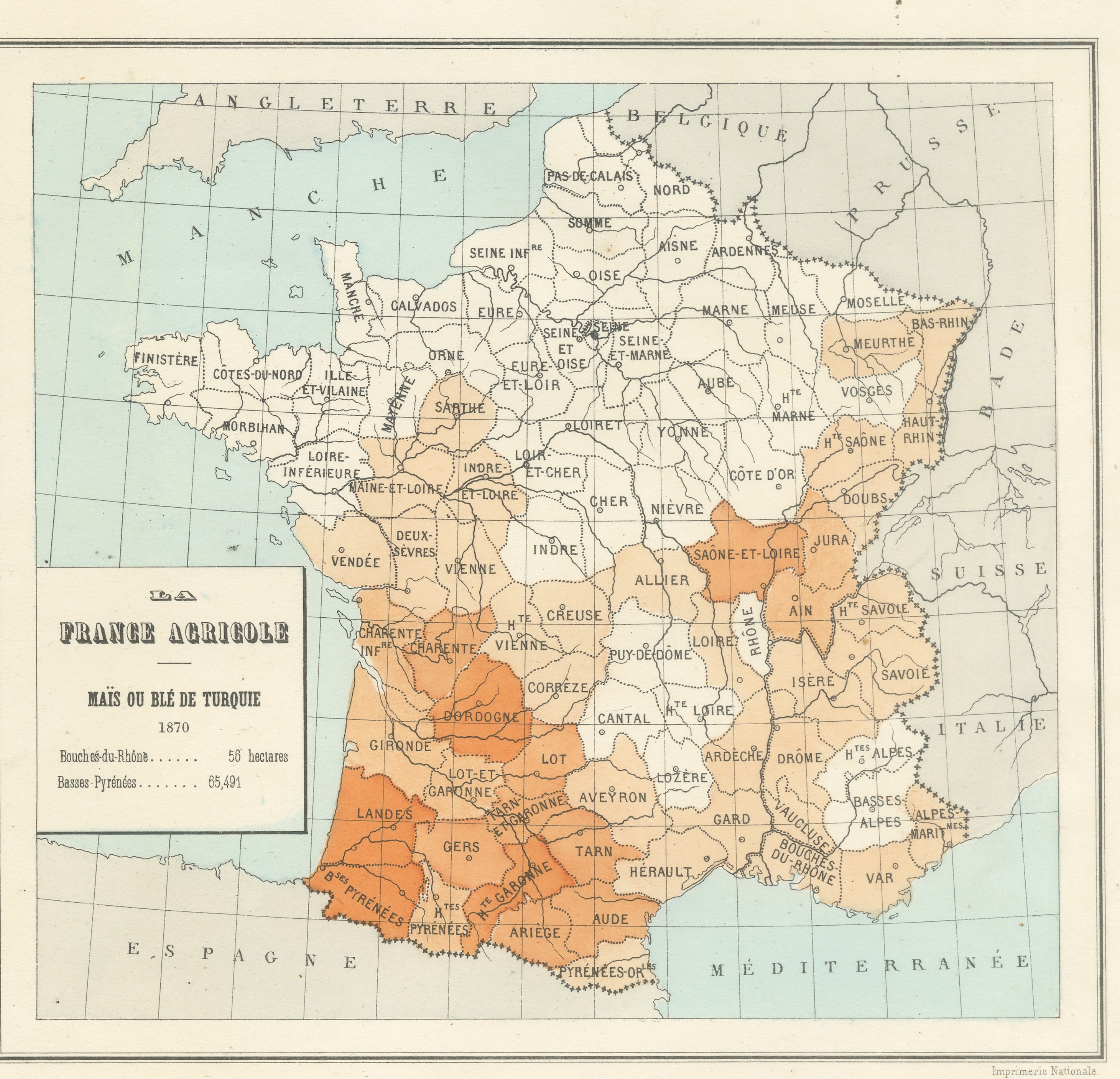
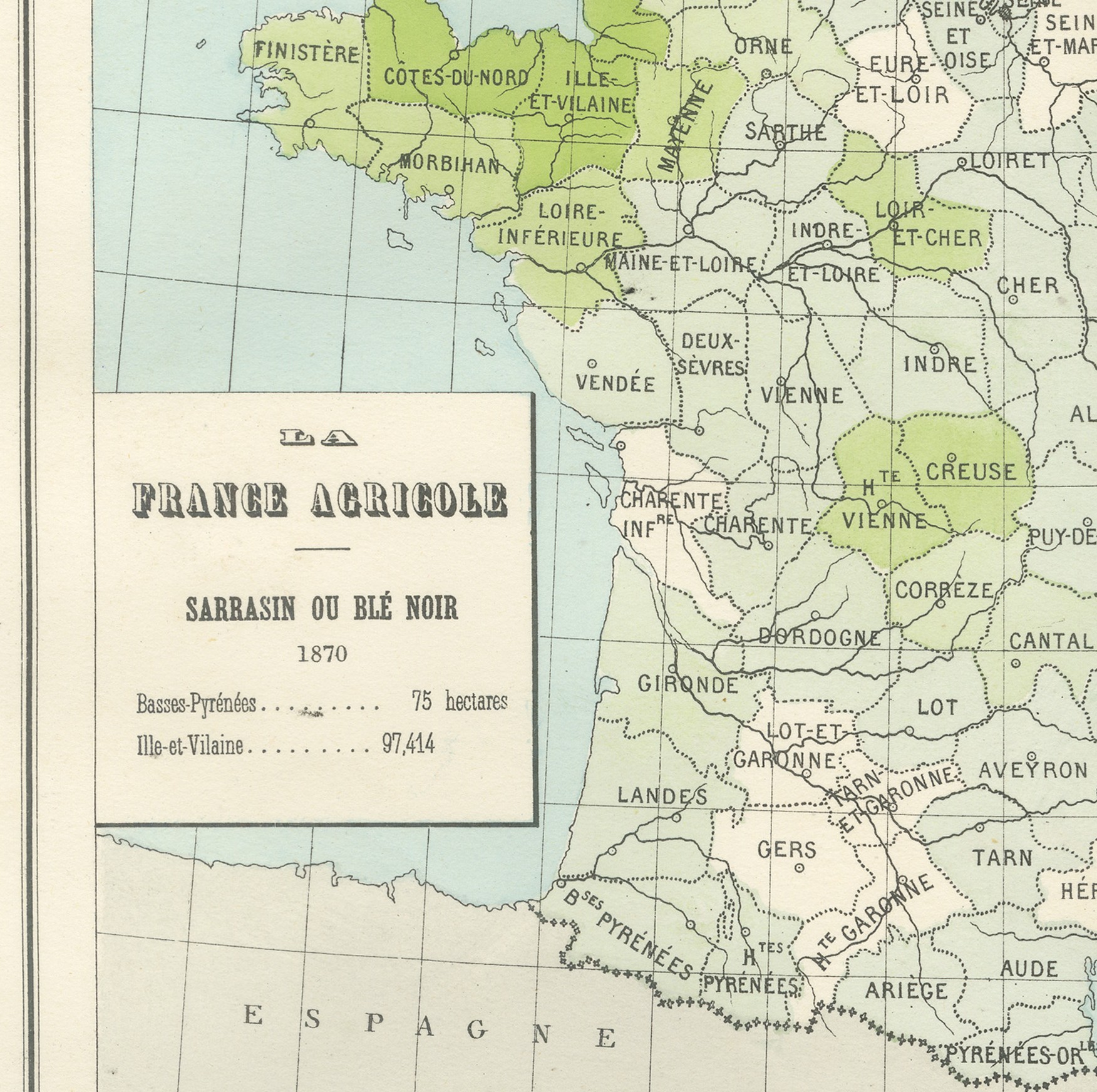
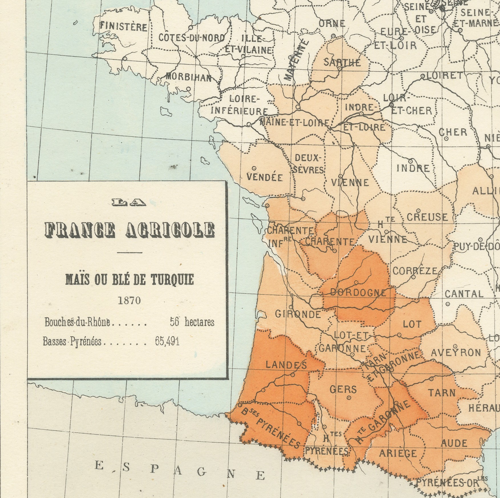
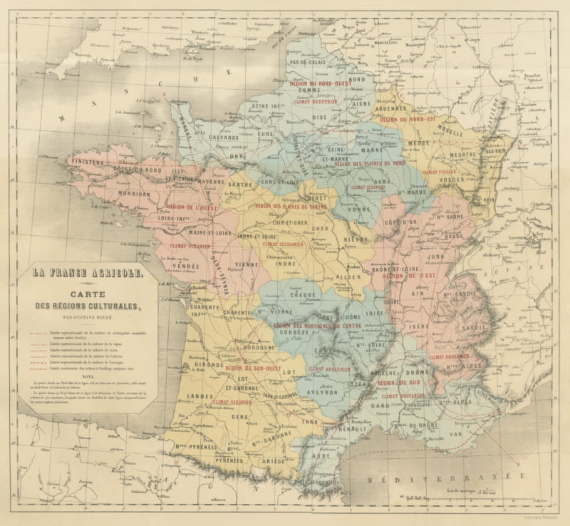
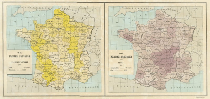
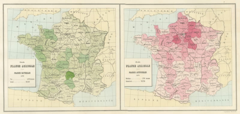
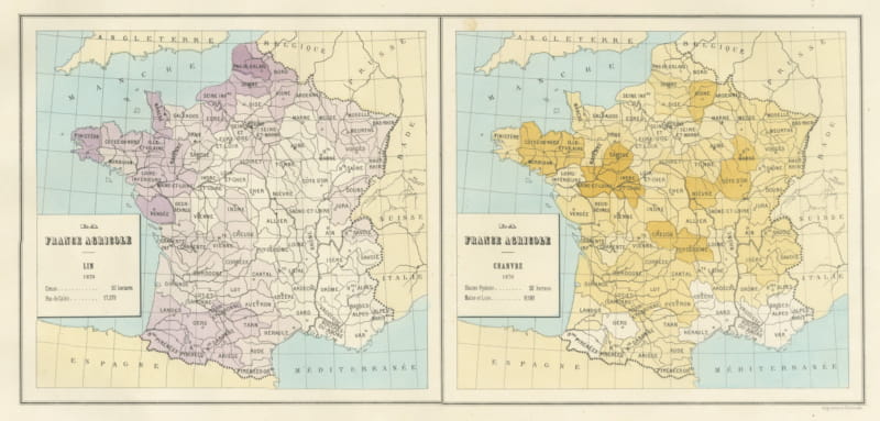
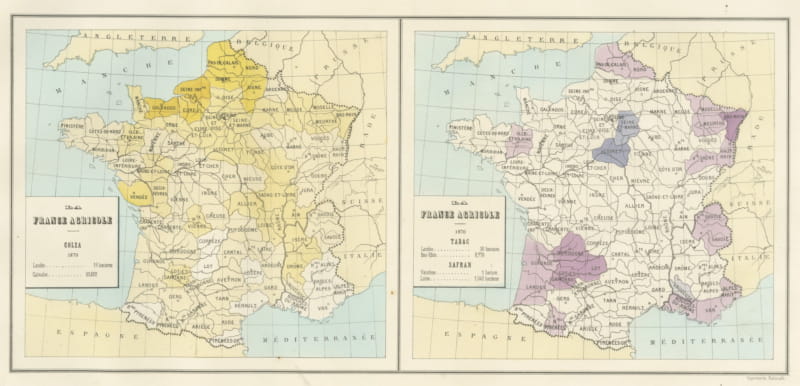
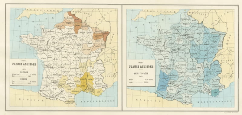
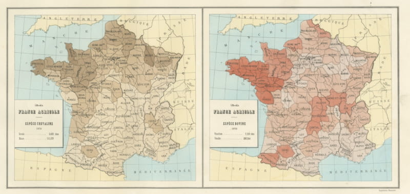
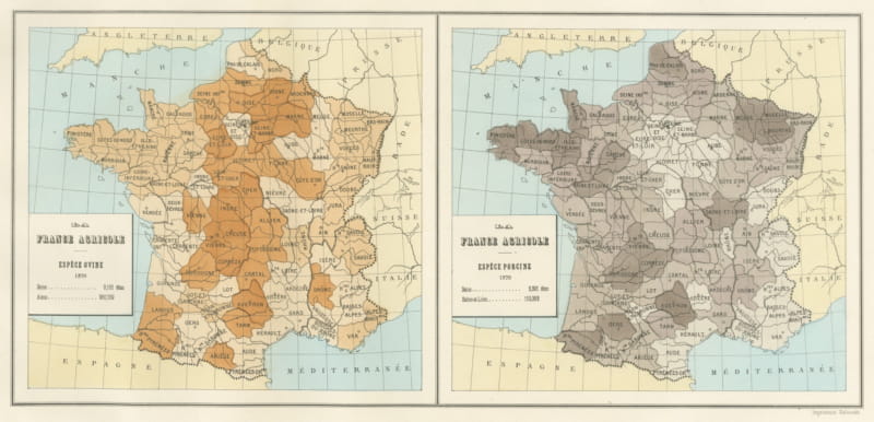
This antique map of France sets buckwheat and maize side by side, two statistical crop maps on one sheet prepared for the French agricultural exhibit at the Vienna Exposition of 1873. Buckwheat, there called sarrasin ou ble noir, is shown in green, and maize, called mais ou ble de Turquie, in orange.
Between them the two maps set the poor soils of Brittany against the warm south west, and each carries the highest and lowest department with its hectares. Read together, they give a clear picture of how differently the regions of France were farmed.
The sheet comes from the folio of maps, plans and drawings that the Direction de l'Agriculture of the French Ministry of Agriculture and Commerce assembled for its own exhibit at the Exposition Universelle held in Vienna in 1873, printed in Paris by the Imprimerie Nationale. The album gathered the statistical cartography, the model state farms, the breed portraits and the prize silver by which France meant to present its agriculture to the world. Its thematic maps belong to the first generation of printed statistical mapping, a field now collected for the history of data visualization quite as much as for the history of farming.
The map is a lithograph printed in color, issued in 1873. The color is printed rather than applied by hand. As a piece of early statistical cartography, this antique map of France suits a study, library, office or country kitchen, and it can be framed on its own or hung as a group with other maps from the album.
The sheet is in good condition, with light age toning, scattered foxing and minor marginal marks. The colors remain well preserved. The toning is the ordinary result of age rather than damage. Please see the images for a full view of the condition.
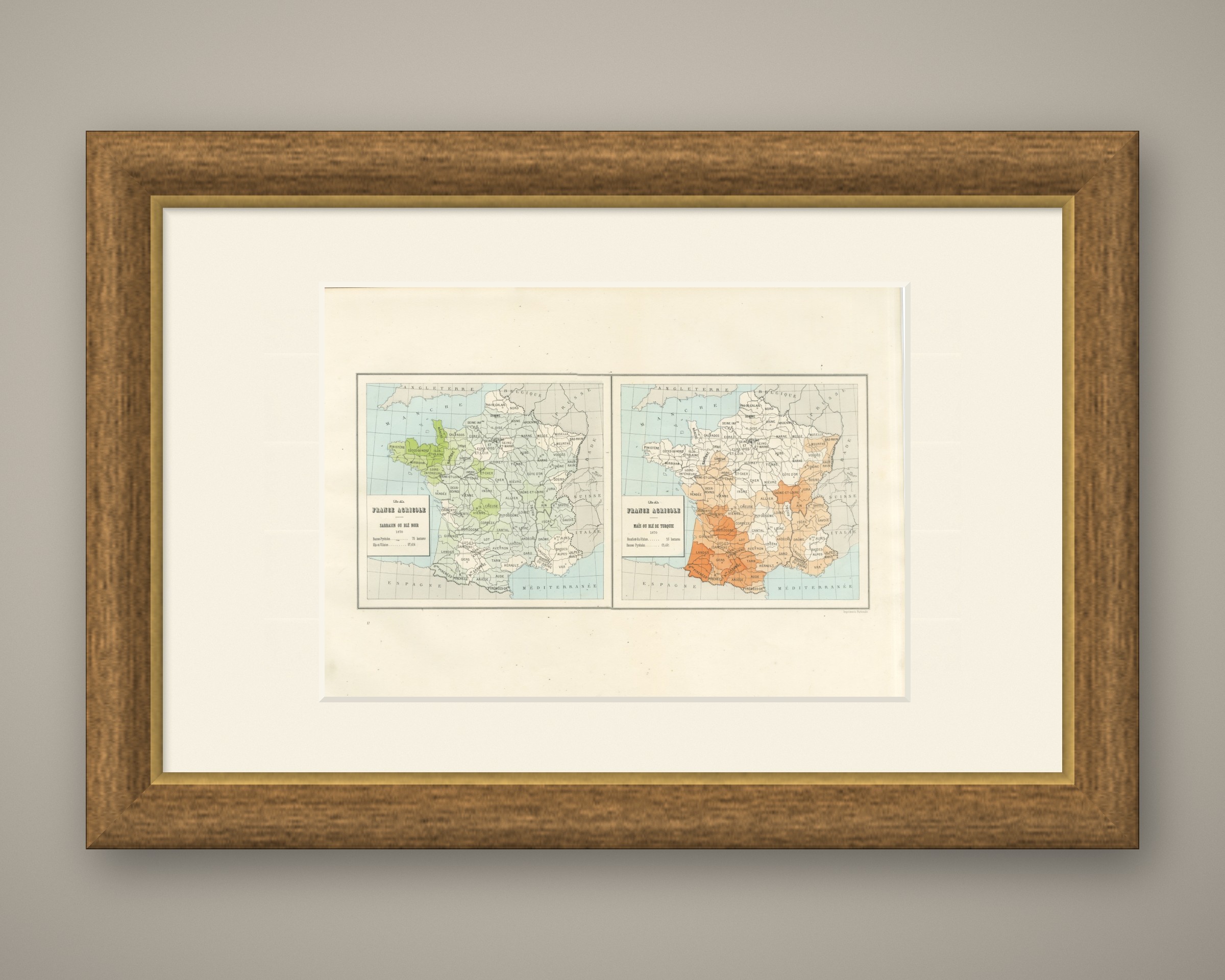
This is an original antique map, not a modern reproduction. This item is sold unframed. Any framed or interior images are shown for presentation and inspiration only, unless the listing explicitly states that the item is sold framed.