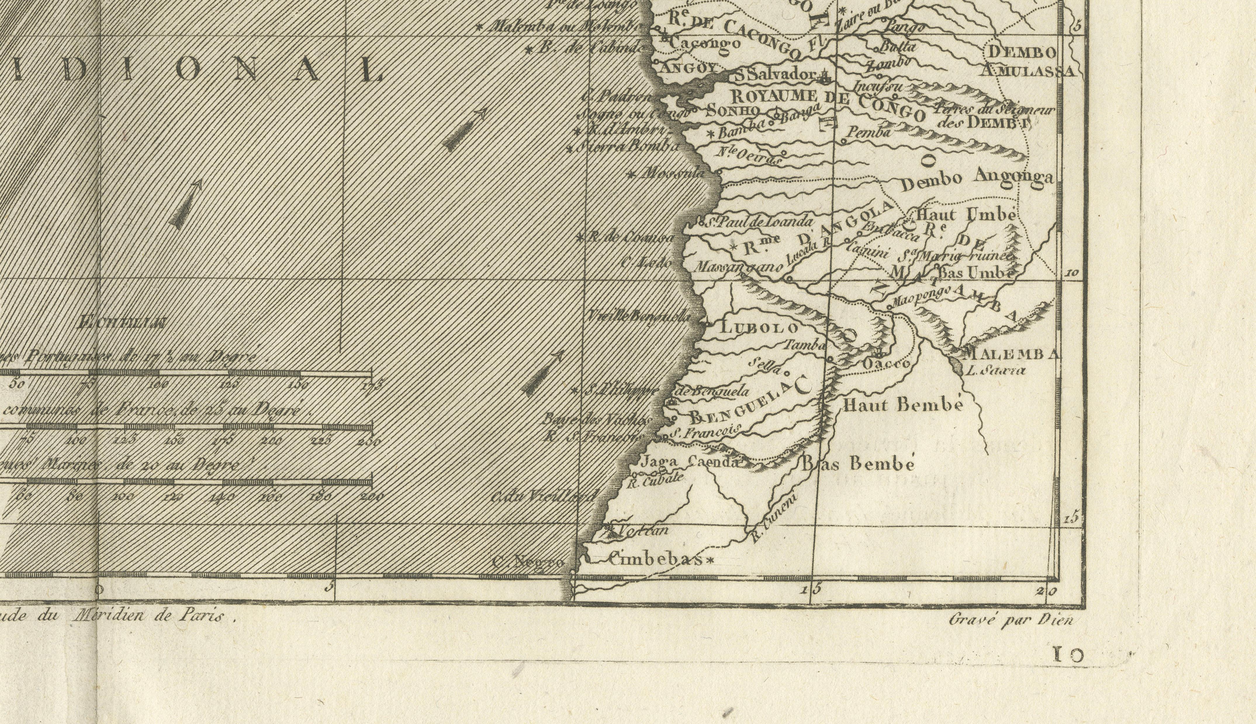
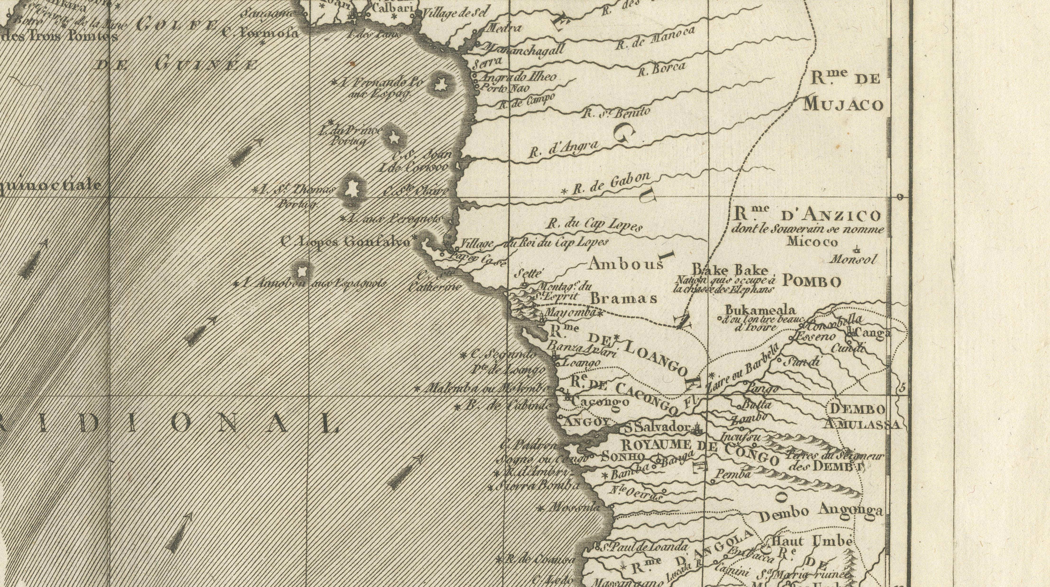
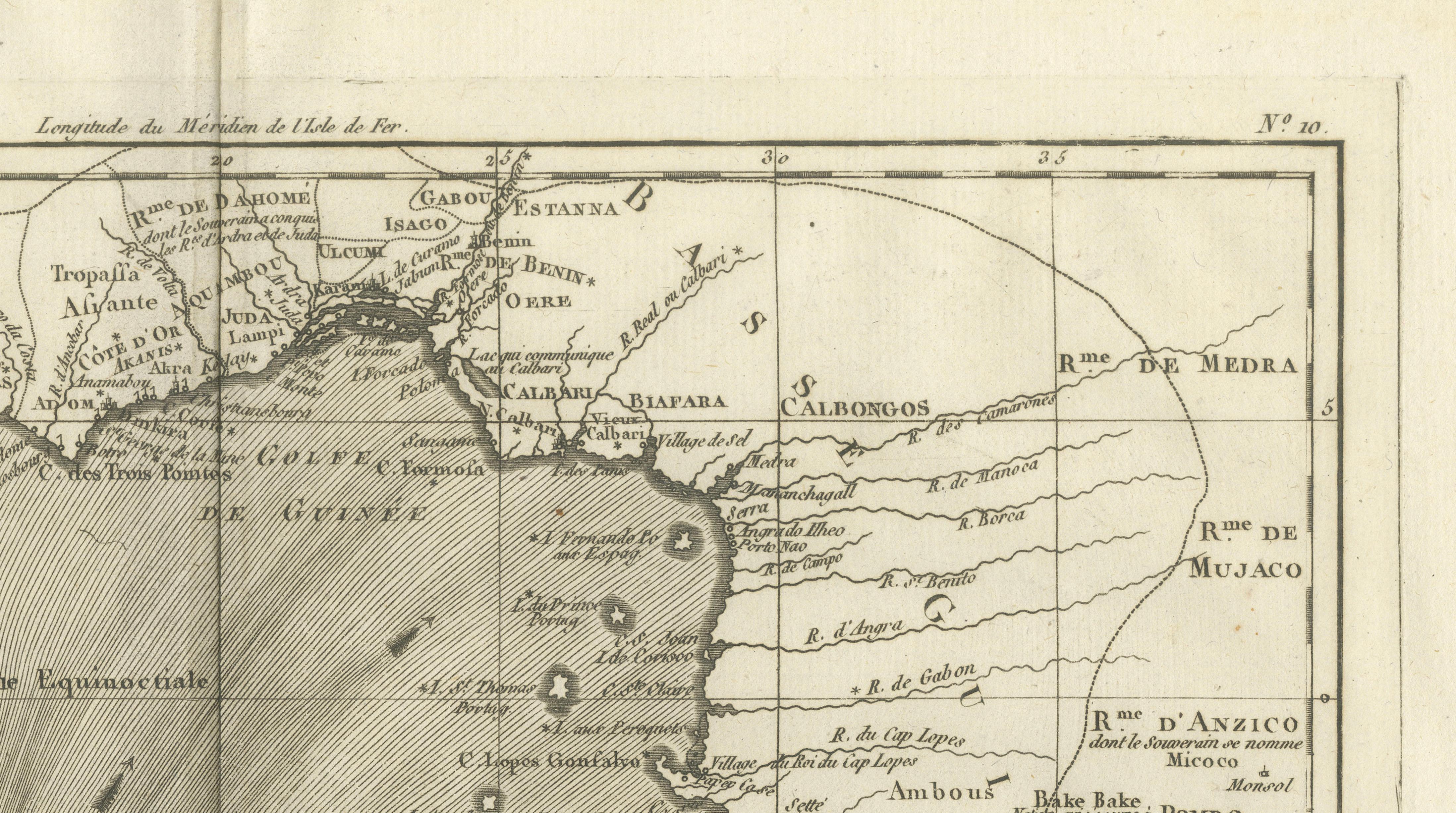
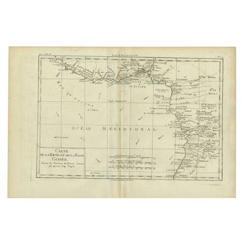
Upper & Lower Guinea Coast Map – West Africa by Bonne c.1780
€ 340
One of a kind: this is the sheet in the photographs. Ships from Langweer, the Netherlands.
Date
1780
Sheet size
26 × 41 cm (10.2 × 16.1 in)
Condition
Good
Reference
BG-14105-10
Condition
Uniform toning. Central fold as issued. Light marginal wear and minor spotting.
About this sheet
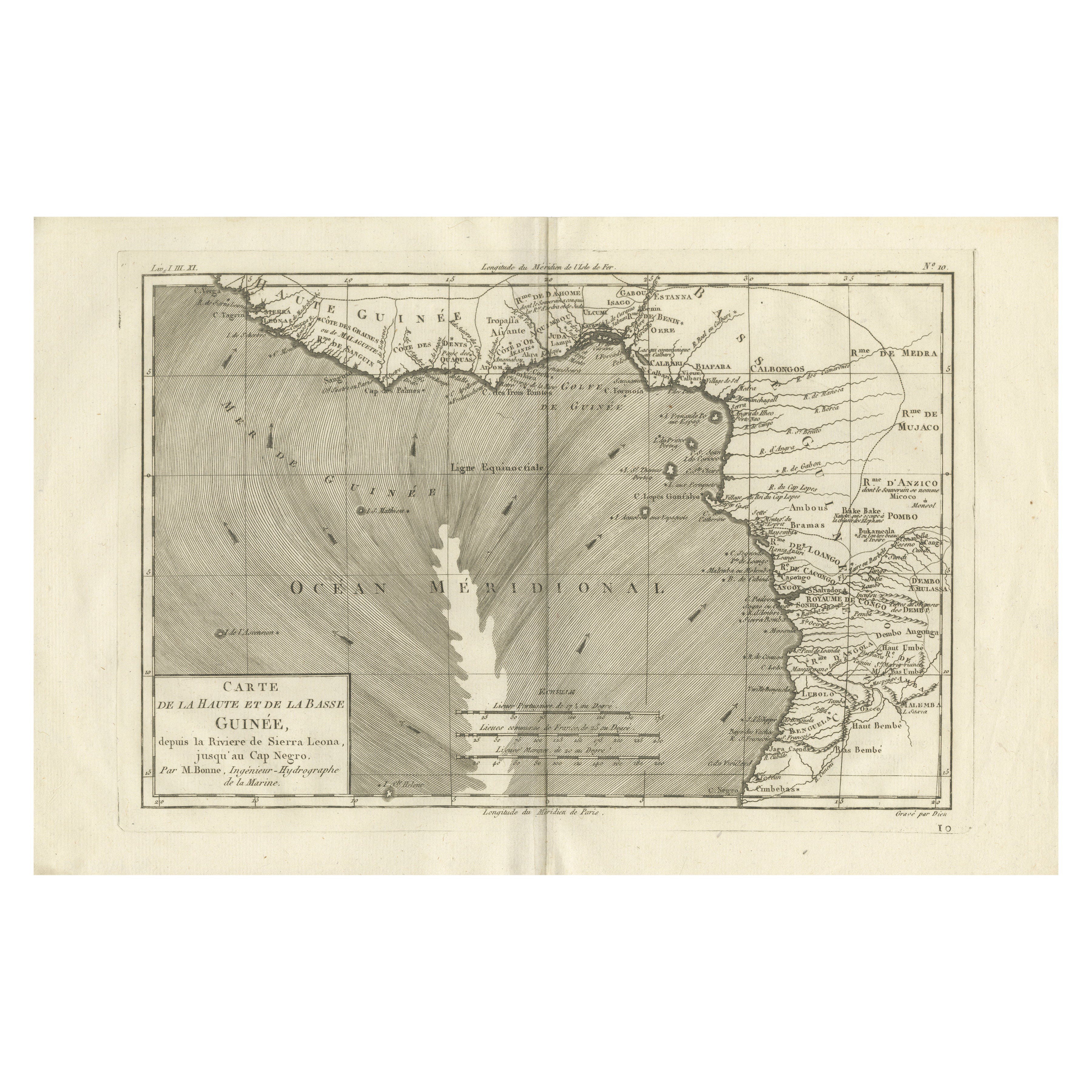
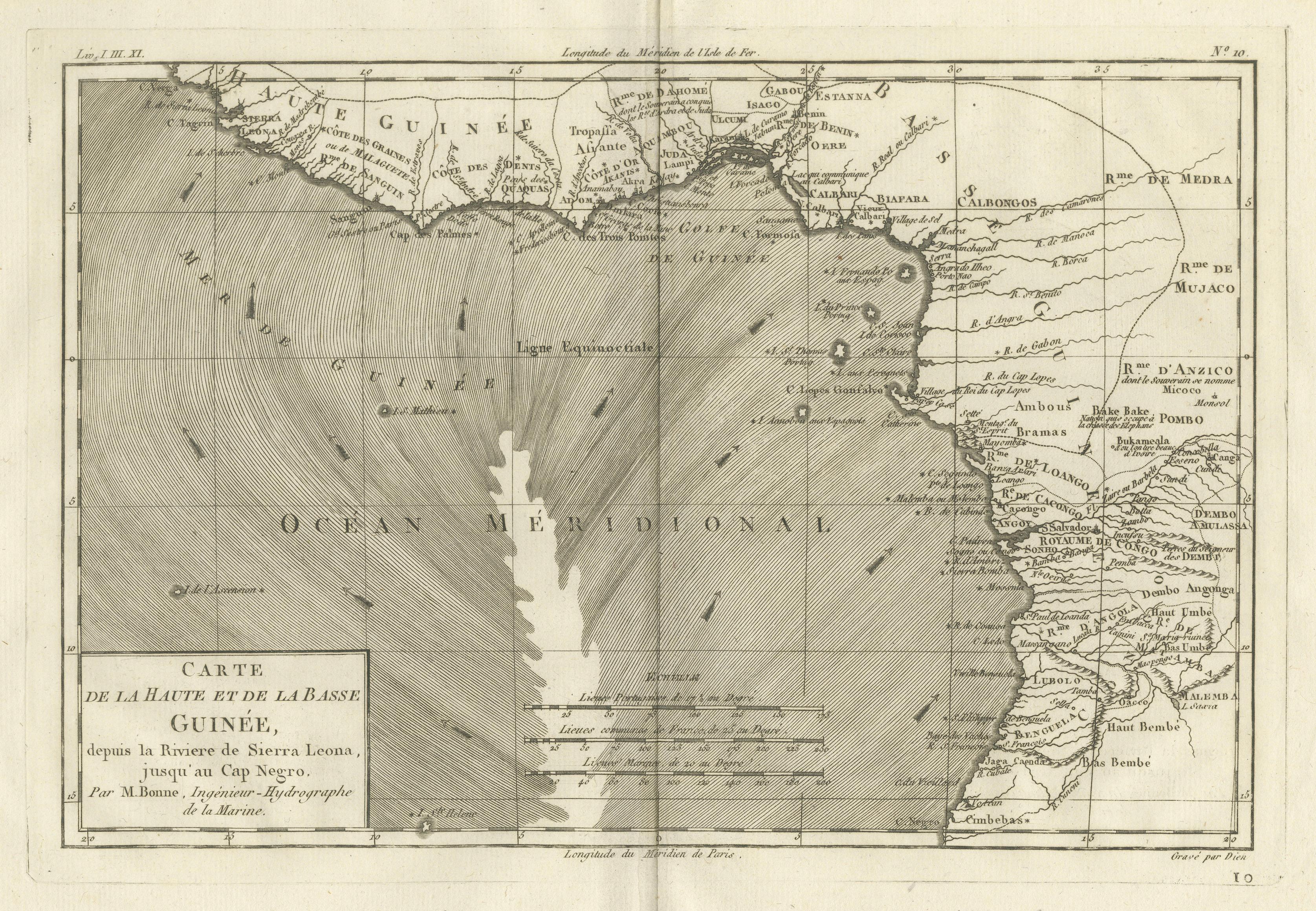
Upper & Lower Guinea Coast Map – West Africa by Bonne c.1780
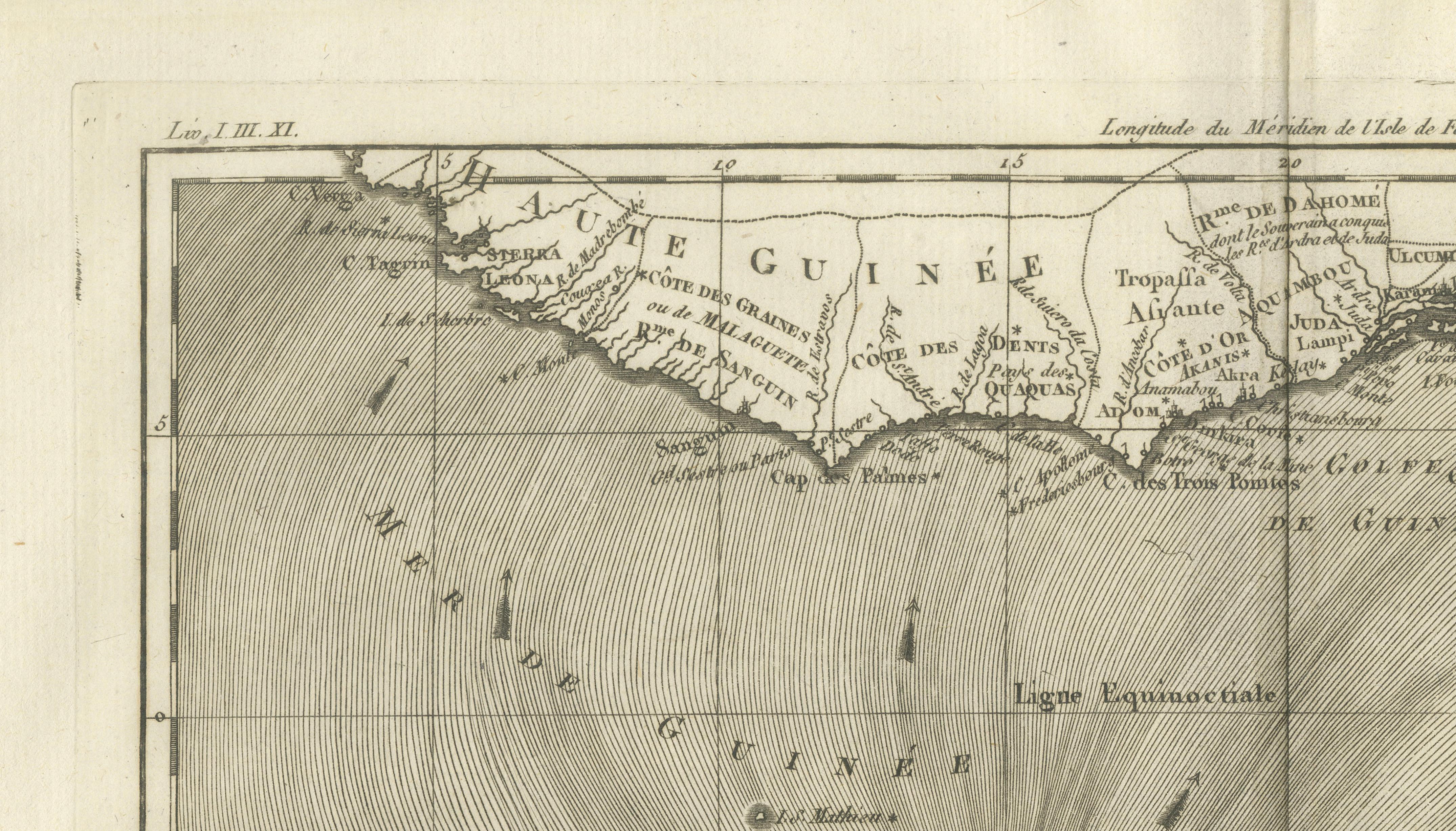
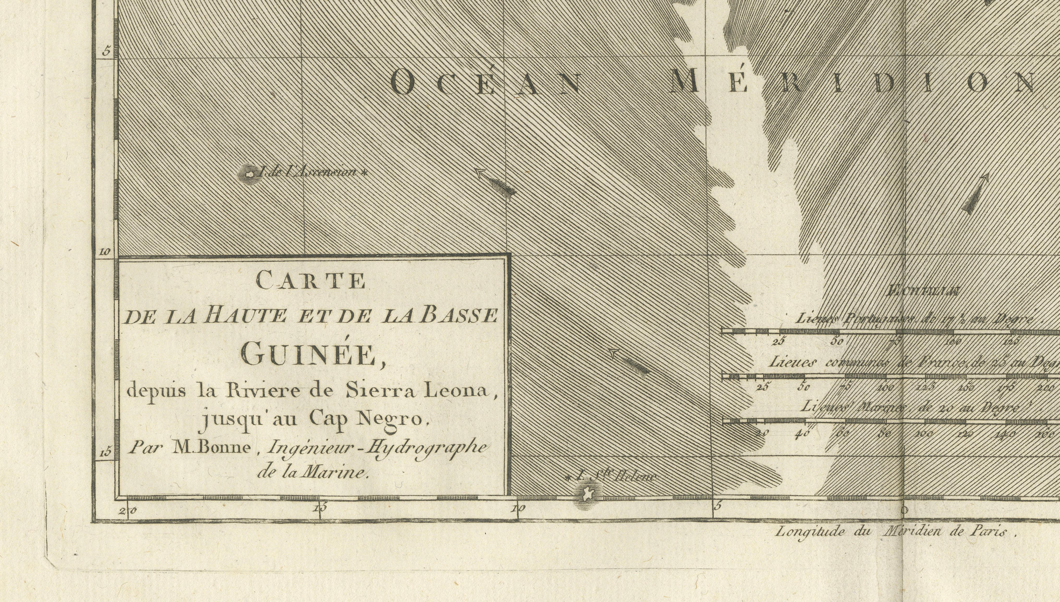
DESCRIPTION This detailed coastal map covers Upper and Lower Guinea, extending from Sierra Leone toward Central Africa. Compiled by Rigobert Bonne, it reflects European maritime priorities, showing river mouths, anchorages, and coastal settlements essential to navigation and trade. Inland detail diminishes rapidly, illustrating contemporary limits of geographic knowledge. The map documents a critical region in Atlantic trade history and remains a powerful historical reference.
KEYWORDS Guinea Coast map, Sierra Leone, Congo coast, Atlantic trade routes, West Africa ports, maritime Africa
CONDITION REPORT Uniform toning. Central fold as issued. Light marginal wear and minor spotting.
FRAMING TIPS Wide mat balances the horizontal format; muted gilt or dark wood frame recommended.
Technique: Engraving Maker: Rigobert Bonne, France, circa 1780