About this sheet
Antique Map Martinique Caribbean Island Chart, Rigobert Bonne French Map c1780
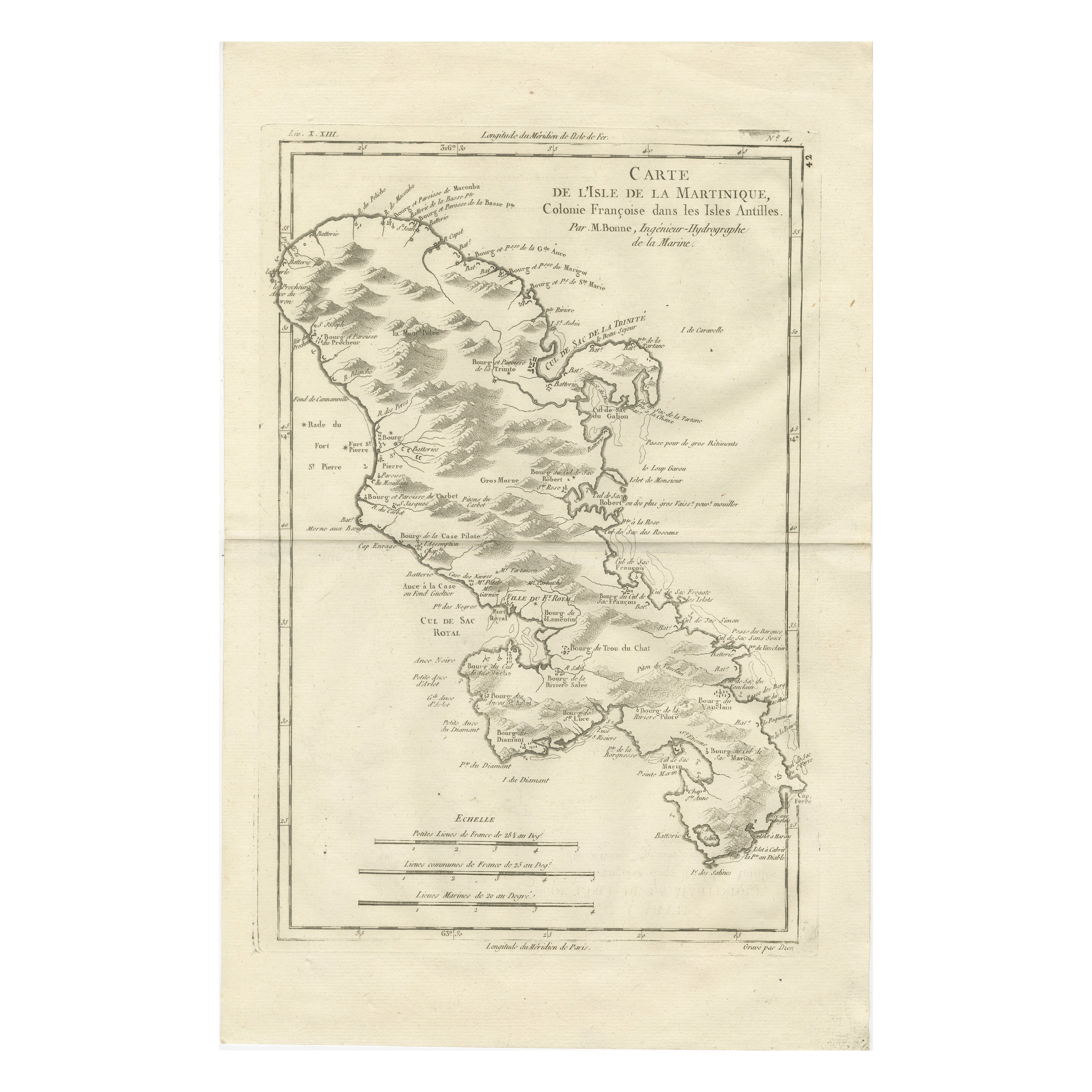
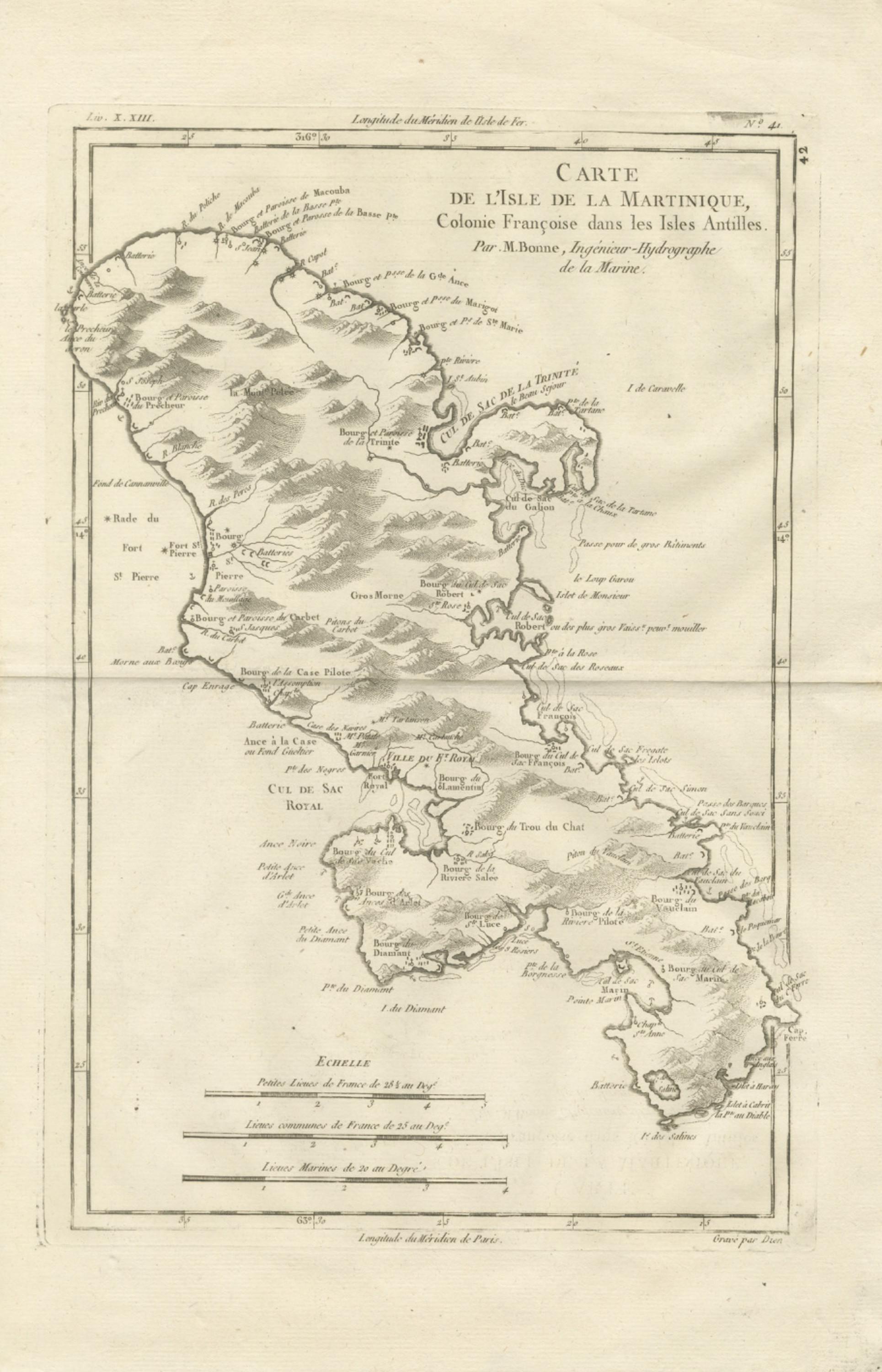
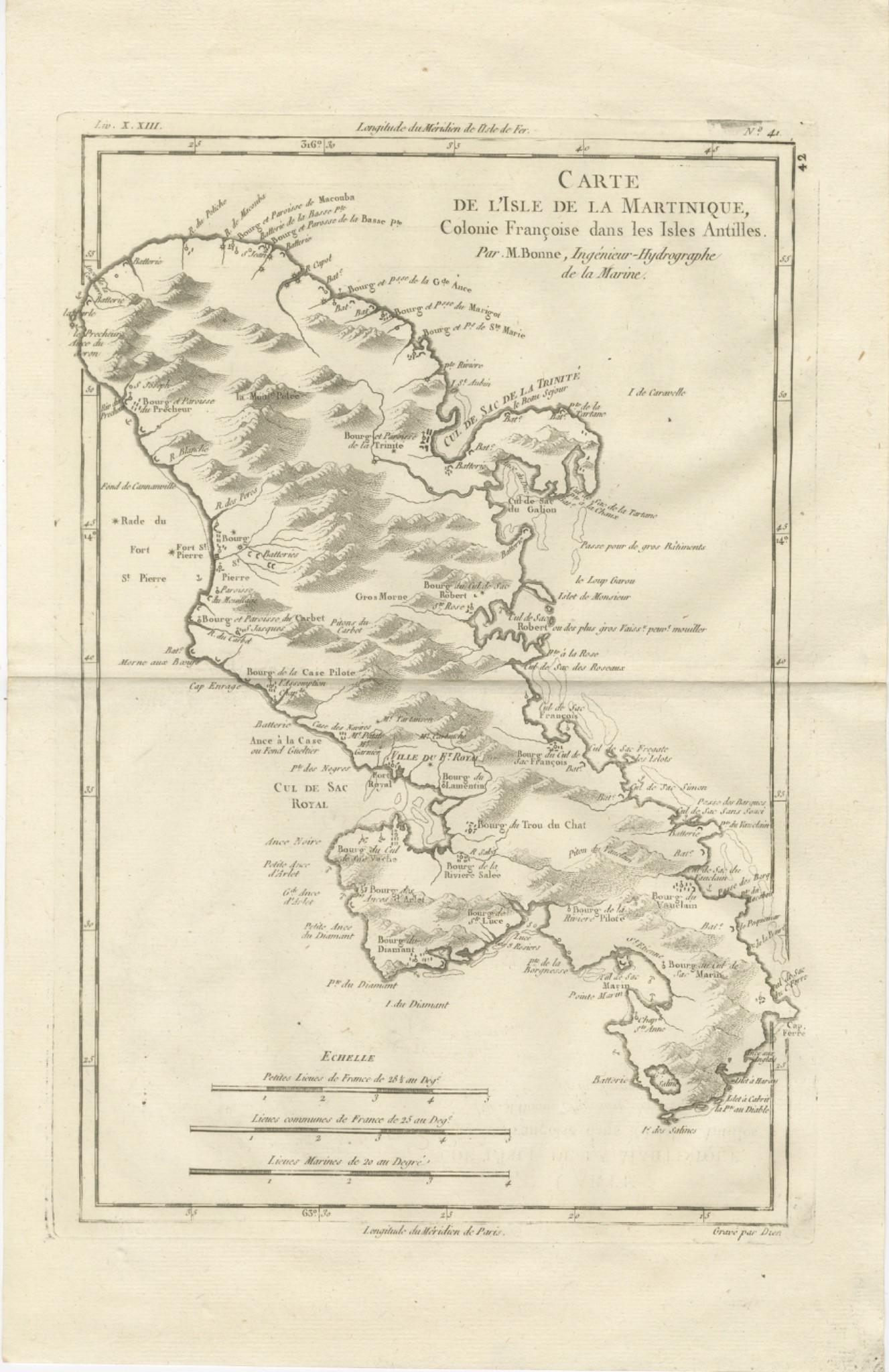
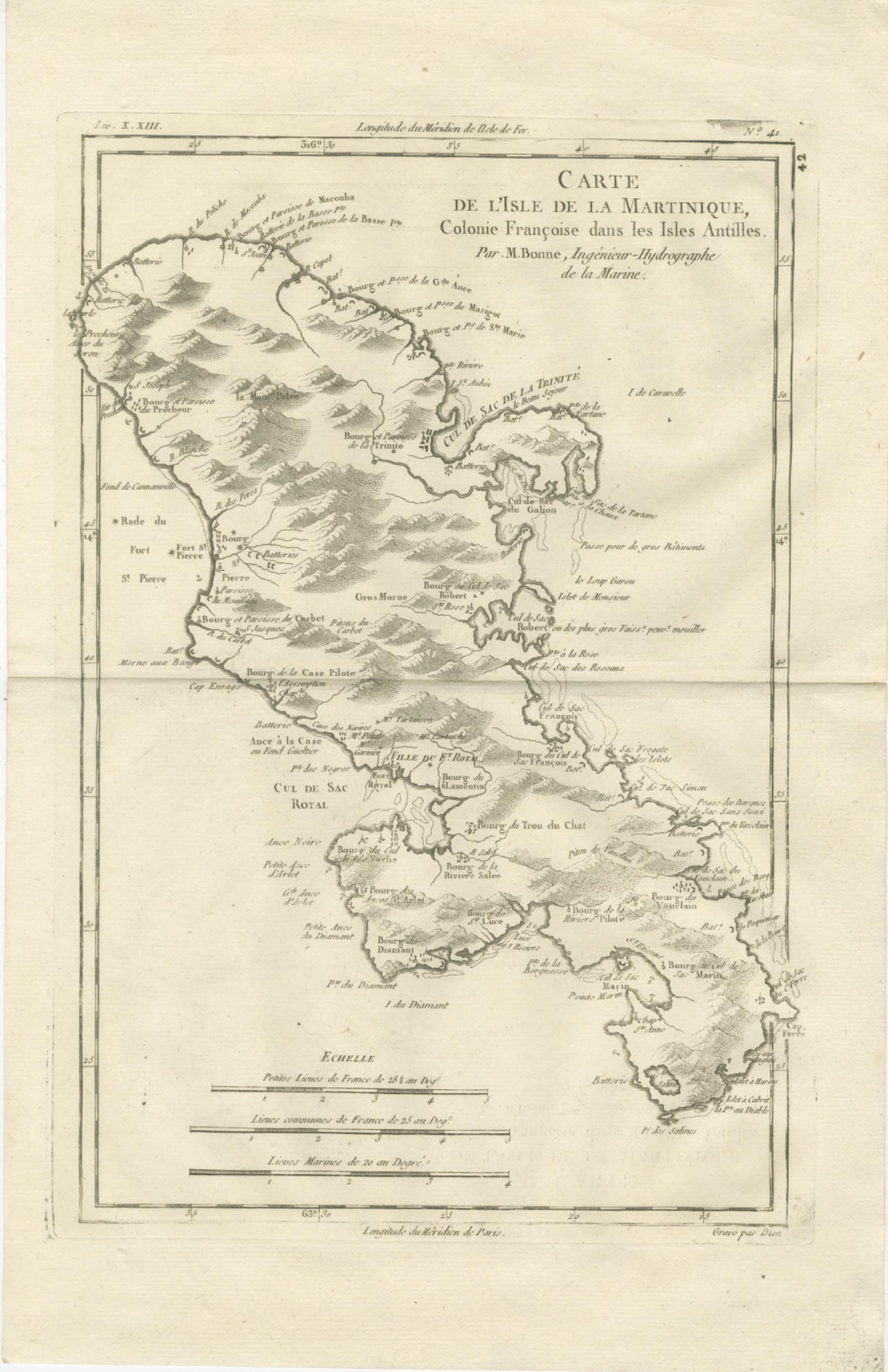
This finely engraved eighteenth-century map of Martinique was produced by Rigobert Bonne, one of the most influential figures in Enlightenment-era French cartography. Engraved circa 1780 during Bonne’s tenure as Ingénieur-Hydrographe de la Marine and chief cartographer at the Dépôt de la Marine in Paris, the map reflects the period’s transformation toward scientific precision, clarity of design, and the systematic integration of geographic intelligence. Bonne succeeded Jacques-Nicolas Bellin and played a key role in advancing modern cartographic standards, emphasizing accuracy and legibility over the elaborate decorative elements characteristic of earlier baroque maps.
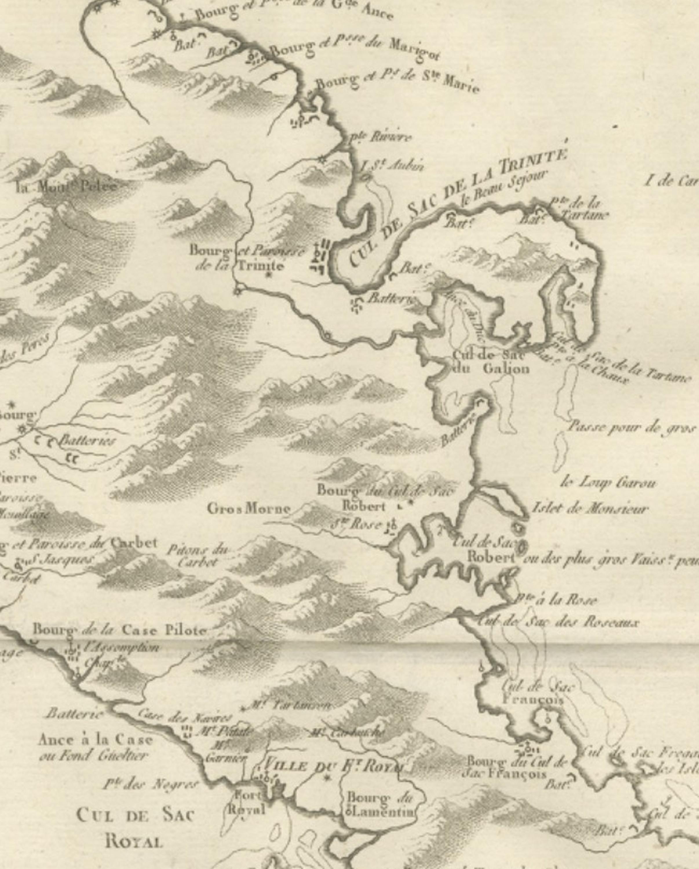
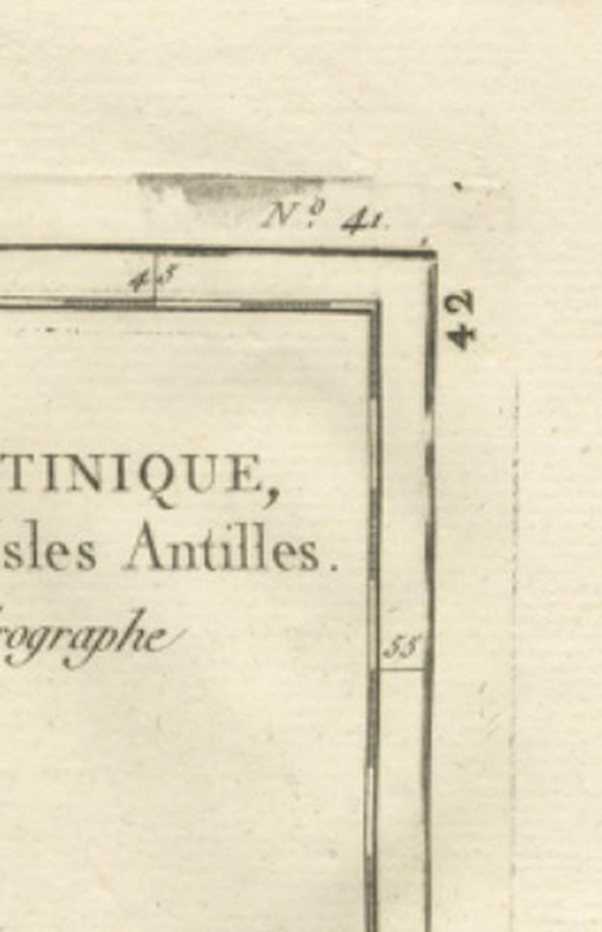
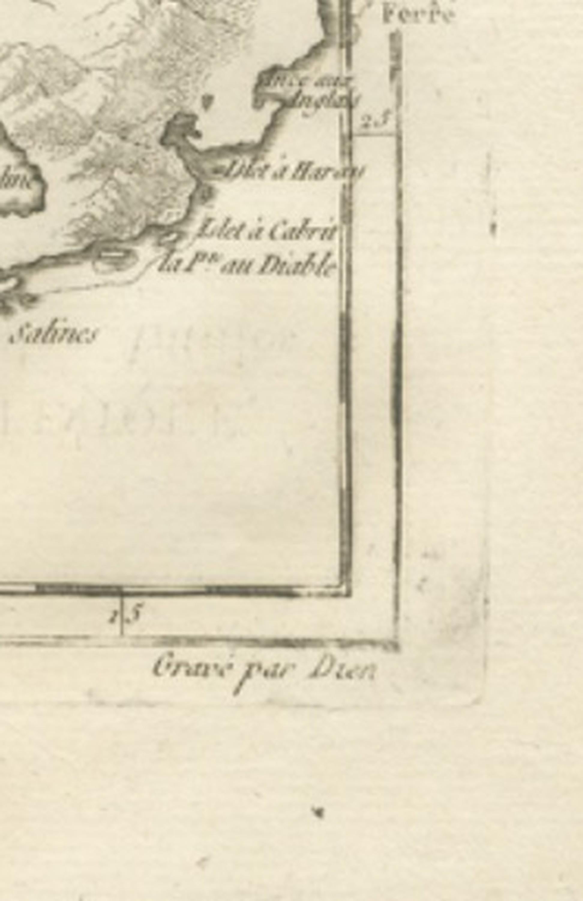
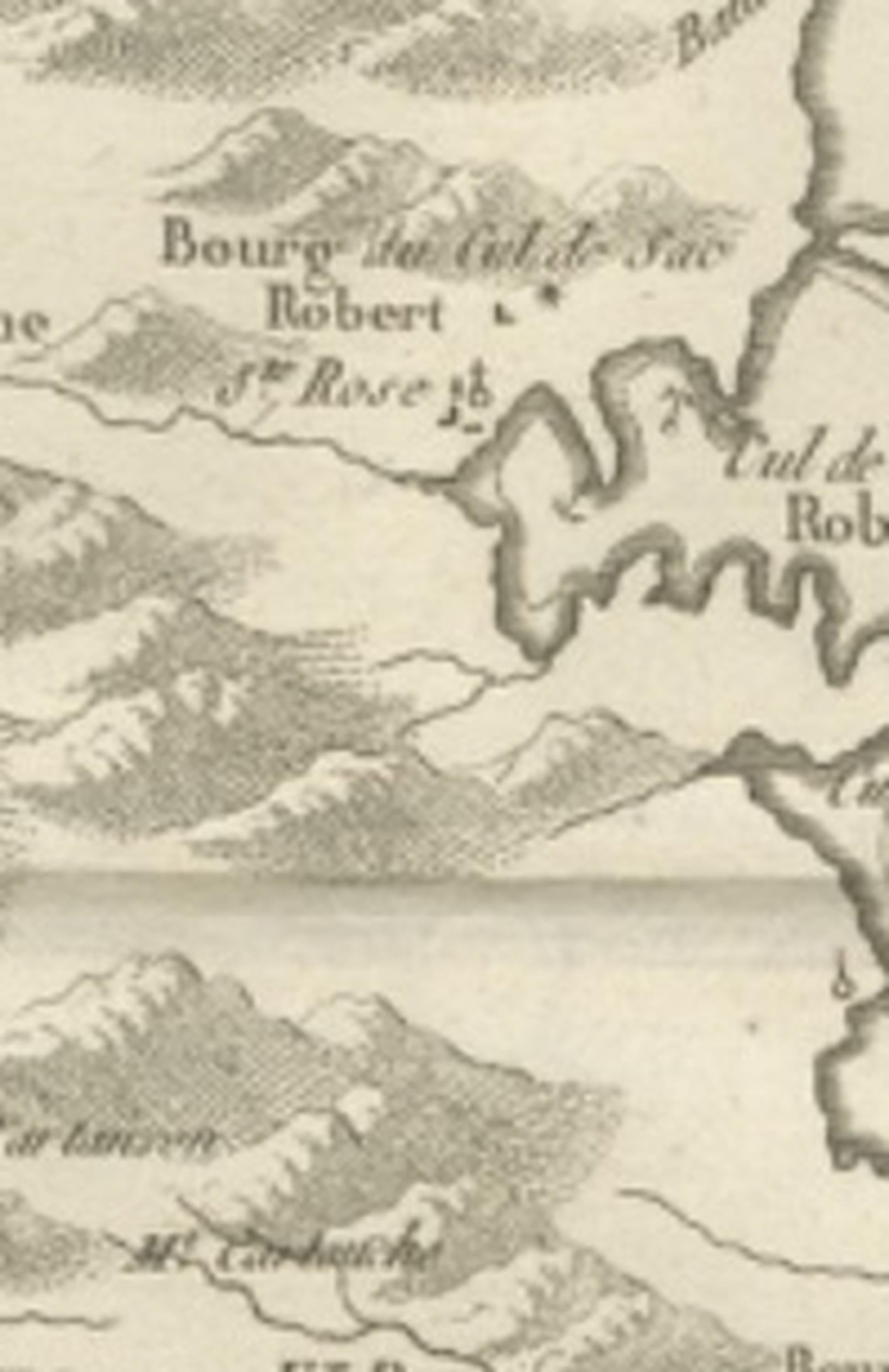
Titled “Carte de l’Isle de la Martinique, Colonie Française dans les Isles Antilles,” the map presents a detailed view of the island’s geography, settlements, and coastal features during the height of French colonial activity in the Caribbean. The mountainous interior is rendered with delicate hachuring, creating a strong sense of topographic relief while maintaining the restrained elegance typical of Bonne’s mature engraving style. Numerous towns, anchorages, bays, rivers, and administrative divisions are carefully labeled, including Saint-Pierre, Fort Royal (modern Fort-de-France), Le Marin, La Trinité, and Cul-de-Sac Royal. Coastal batteries, ports, and navigational features highlight the strategic maritime importance of Martinique within the French Antilles.
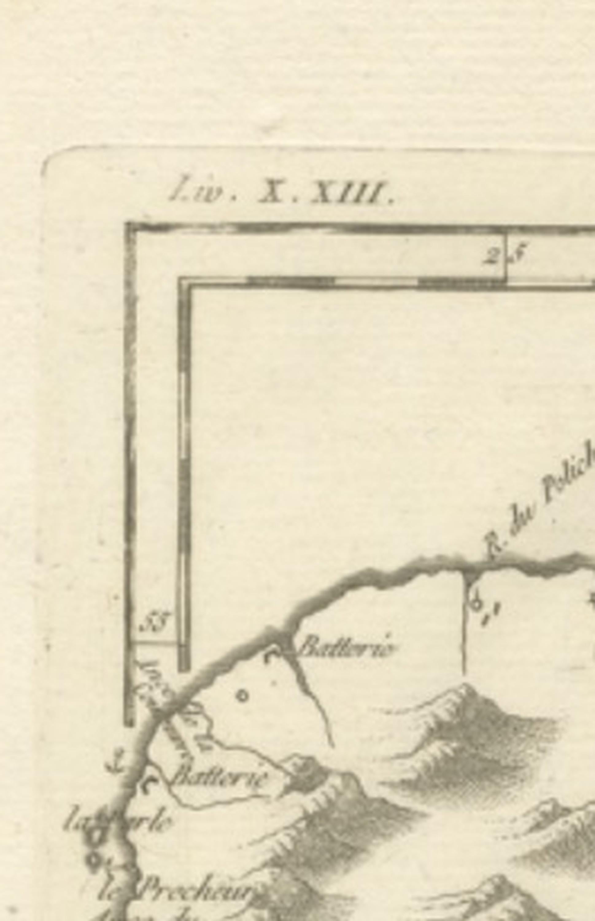
The balanced composition demonstrates Bonne’s commitment to clarity and scientific organization. A simple border frame and refined typographic hierarchy reinforce the visual harmony of the sheet, allowing the geography itself to remain the focus. Such maps were essential tools for navigation, administration, and military planning, reflecting the intense geopolitical competition among European colonial powers in the Caribbean during the late eighteenth century.
Today, Bonne’s Caribbean maps are prized for their combination of historical significance, elegant engraving, and scholarly credibility. The clean aesthetic and clear geographic structure make this piece equally suitable for collectors of early cartography and for refined decorative display in contemporary or classical interiors.
Condition report: Good antique condition with age-related toning and light paper wear; visible original central fold as issued; minor scattered spotting and faint handling marks typical for eighteenth-century prints; margins remain generous and suitable for framing.
Framing tips: Particularly striking when framed in dark walnut or black with an ivory or warm off-white mat; museum-style float mounting can emphasize the plate impression and historic paper tone while preserving the elegant simplicity of Bonne’s design.
Technique: Copperplate engraving
Maker: Rigobert Bonne, France, circa 1780
Keyword block: Martinique antique map, Rigobert Bonne map, French Antilles map, Caribbean colonial map, Fort Royal Martinique map, Saint-Pierre Martinique map, French hydrographic chart, Dépôt de la Marine cartography, Enlightenment era map, 18th century Caribbean engraving, West Indies map, French colonial geography, antique Martinique chart, scientific cartography France, Bellin successor Bonne, Caribbean island engraving, antique nautical map Caribbean, Martinique historical map, decorative antique map Caribbean, French West Indies cartography.